

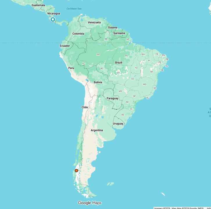
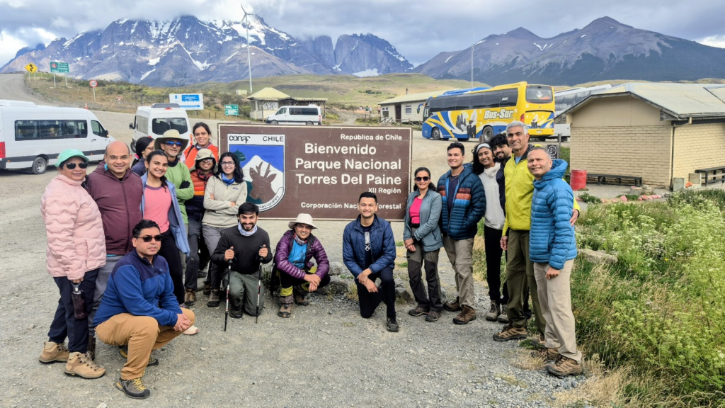
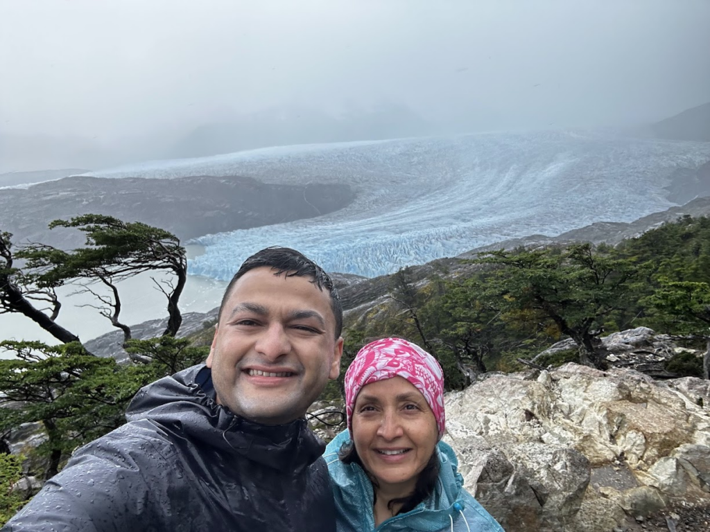
In 2015, Anu and I had visited the Perito Moreno glacier in El Calafete in Patagonia region of Argentina. Patagonia is the beautiful southern region of South America that spans across Argentina and Chile. Since then, we wanted to do a trek in the Patagonia region. We decided to take that opportunity in Dec 2025, when 22 of us, families of IIT Kanpur alumni, decided to do the W-Trek in Torres del Paine National Park near Puerto Natales in Chile. This trip was a part of a large trip which included an Antarctica voyage and then an extended South America trip.
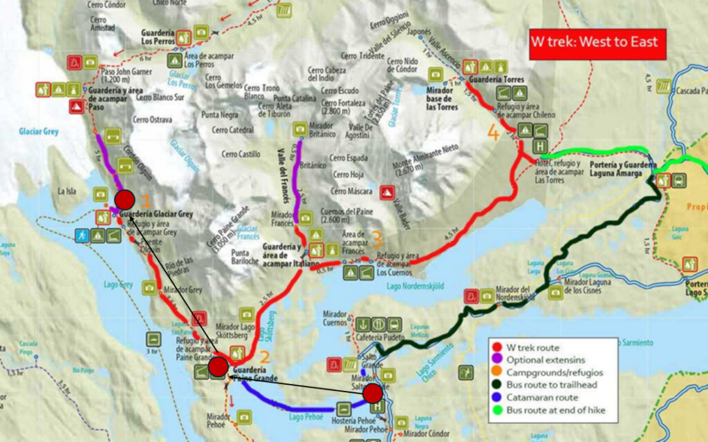
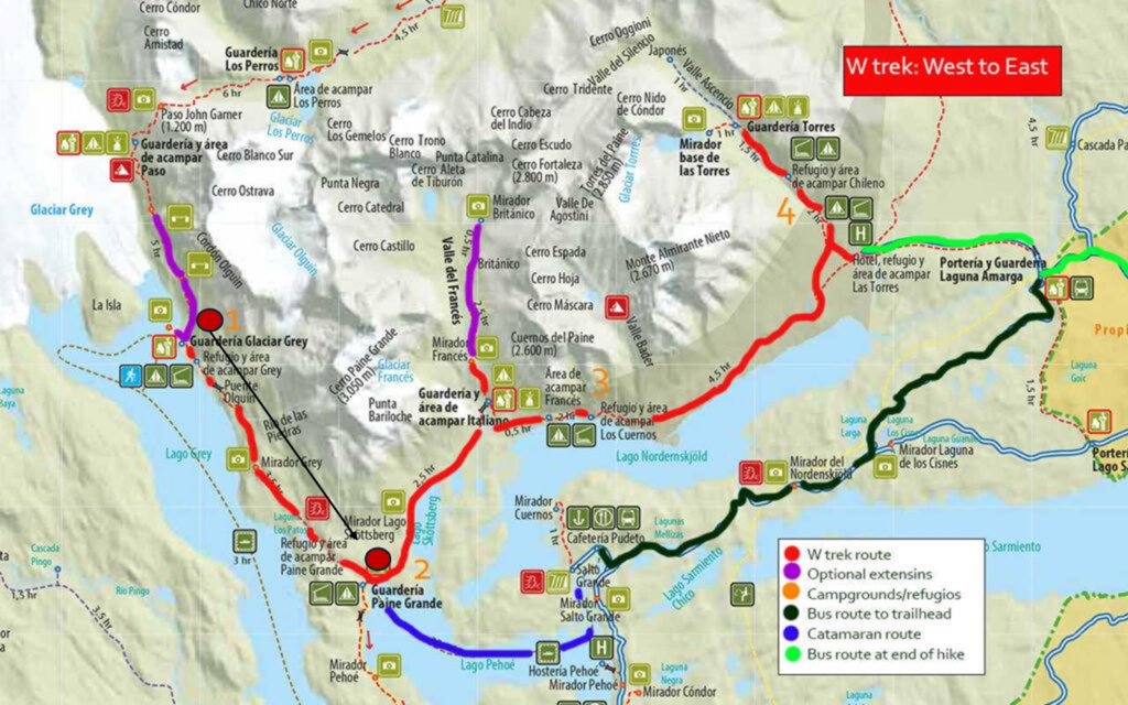
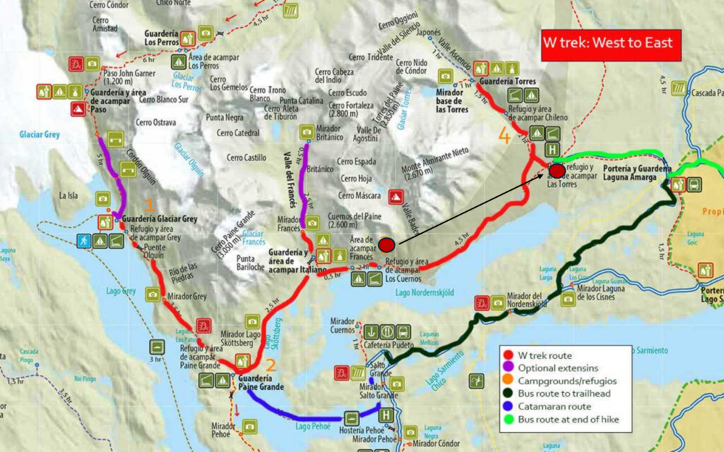
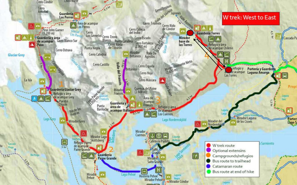
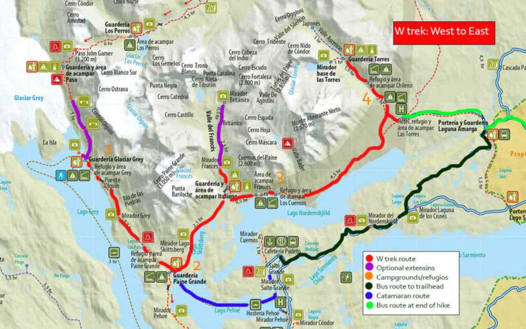
The W-trek is named so because the trek path is in the shape of a W (marked in red below). We followed the West to East path because that way you get tailwinds. Some people do the 9 day “O” trek where they continue northwards from Glaciar Grey and complete a full circle in the shape of an “O”.

Our path was as follows:
- Day 1: Ferry across Lago Pehoe (blue line) to Paine Grande Refuge, Trek to Glaciar Grey refuge
- Day 2: Glaciar Grey back to Paine Grande refuge
- Day 3: Paine Grande to Los Cuernos Refuge via Valle Frances and Britanico
- Day 4: Los Cuernos Refuge to Torres Central Refuge
- Day 5: Torres Central Refuge to Mirador Base de Las Torres (final destination) and back to Puerto Natales
Here were some highlights of the trek:
- 87 km in 5 days, about 17.5 km per day average
- 2,500 ft of climbing every day, max elevation 4,000 ft.
- 6-8 hours of walking carrying about 10 kgs (everything for 5 days)
- Lots of lakes and mountains
- Tough trek, but all members completely successfully
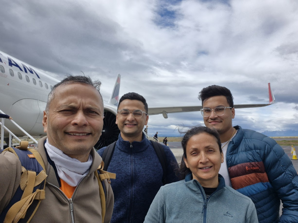
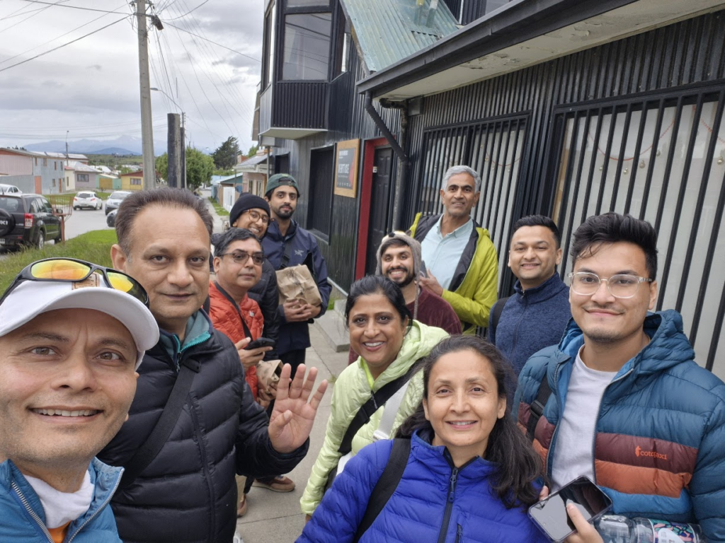
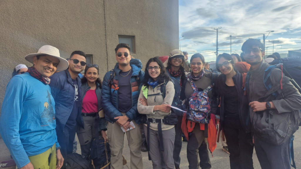
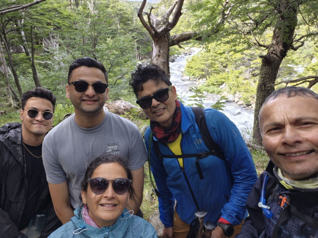
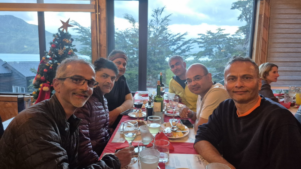
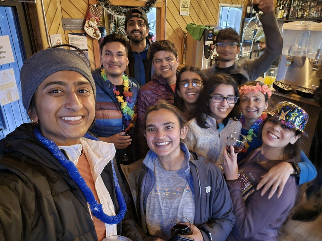
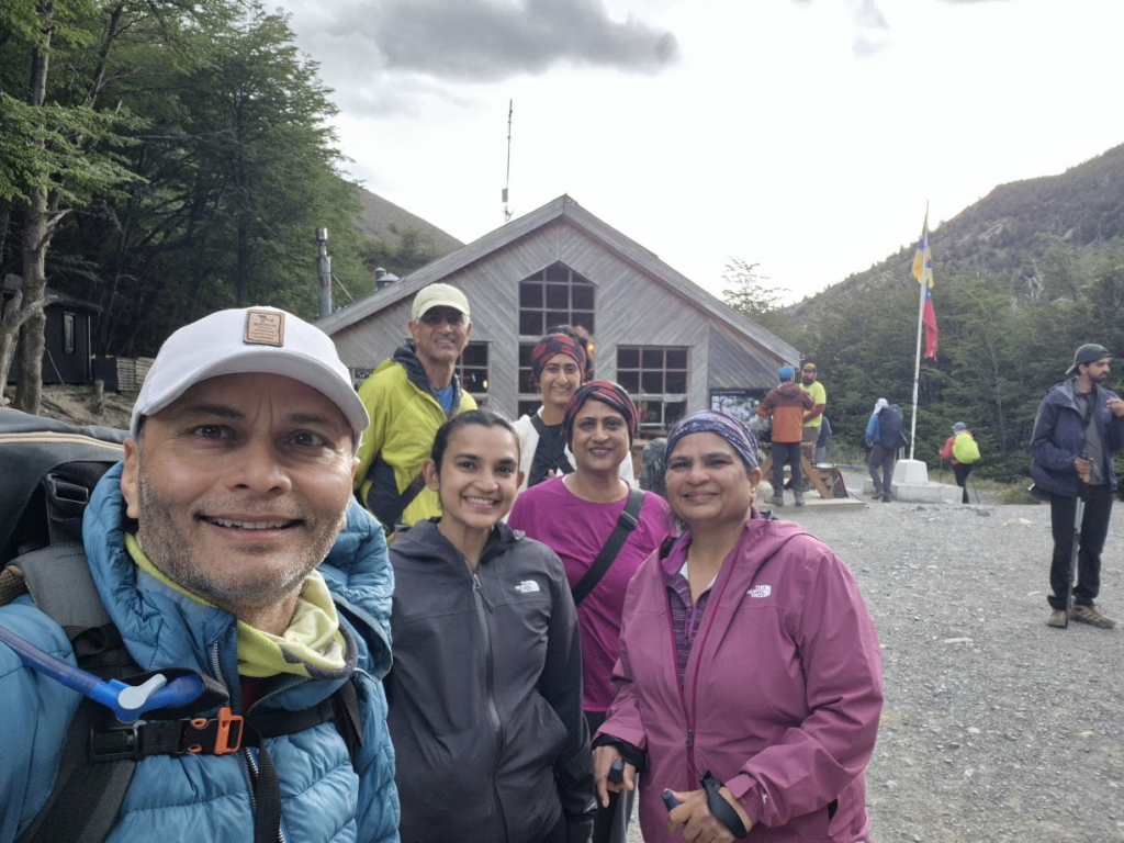
We had 22 members which included families of IIT Kanpur 90/91 alumni as follows: Jai Rawat (IITK91), Yashvi, Rohan, Yash Khandelwal, Pari, Kanika, Madhu Alur (IITK90), Laxmi, Athreya, Anumita, Arun Kumar (IITK90), Priti Gairola, Samir Palnitkar (IITK90) Anu, Aditya, Sahil, Vibhash Upadhyay (IITK90), Mona, Arushi, Praveen Dua (IITK90), Yash, Charutosh Dixit (IITK90)
Here is a day by day description of our trip.
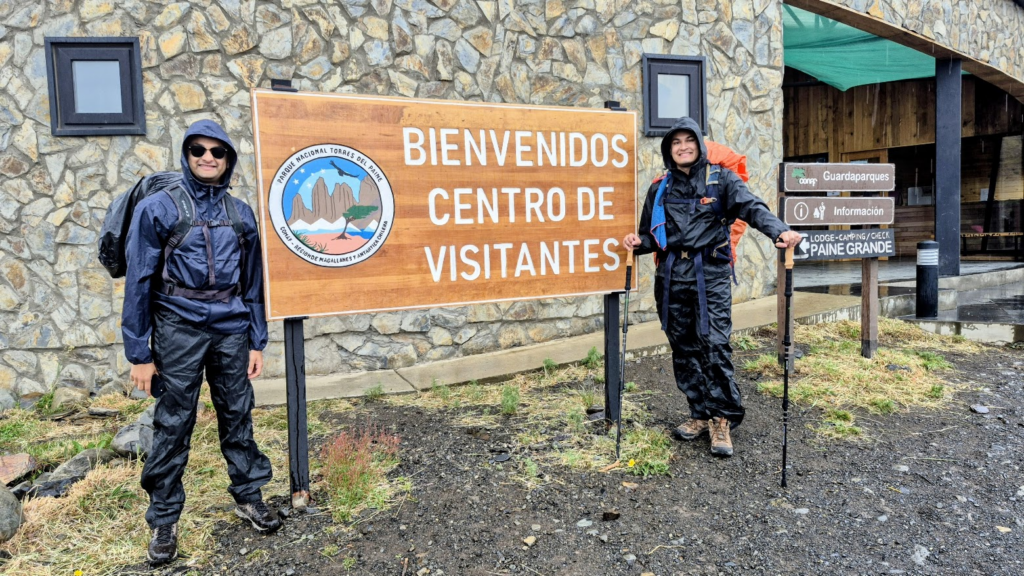
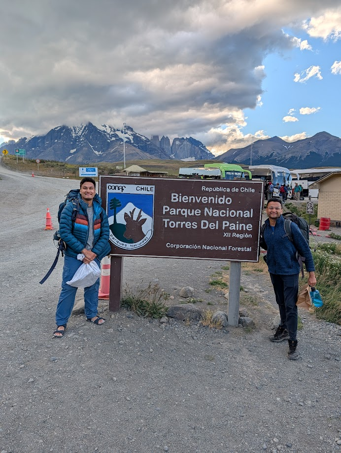
Day 0: Sun, Dec 28, 2026: Arrival in Puerto Natales, Chile
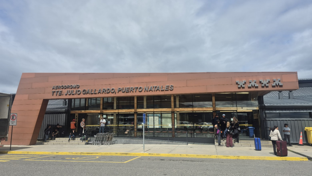
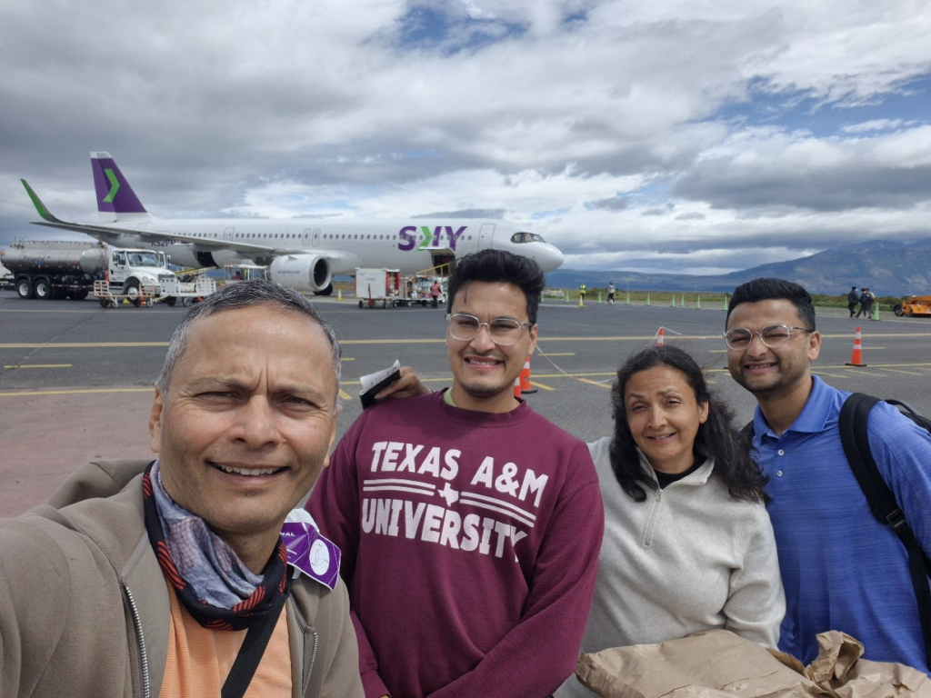
We arrived in Puerto Natales, a town in southern Chile from Santiago, Chile by noon.
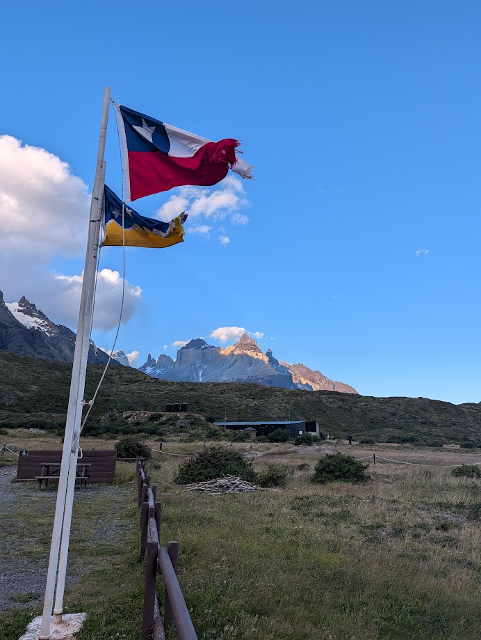
The location of Puerto Natales airport is beautiful, with Torres del Paine (Blue Towers) National Park visible from the airport.
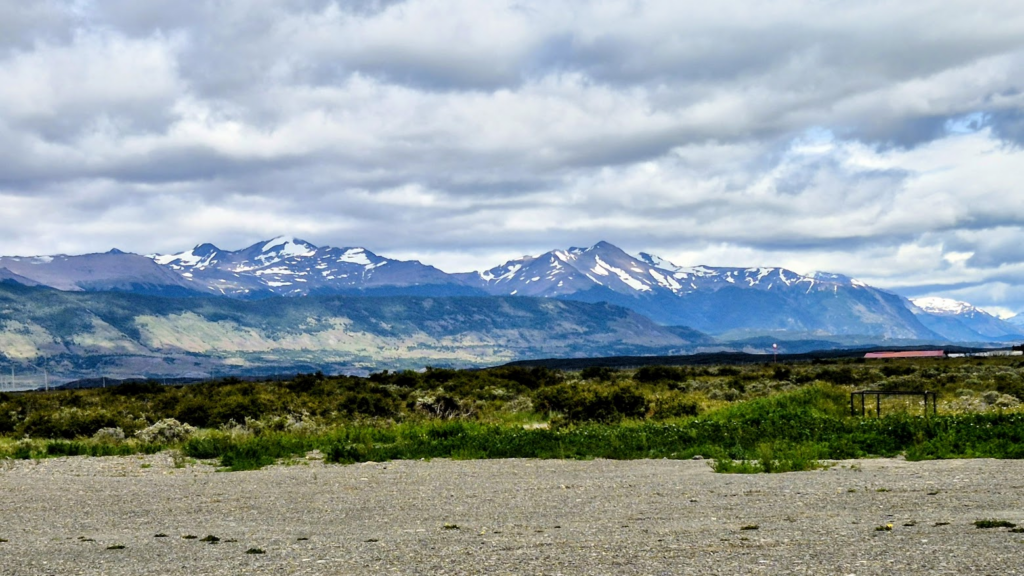
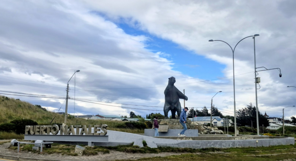
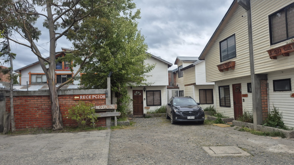
The town of Puerto Natales is closest to Torres del Paine. Puerto Natales is on the 51st parallel below the equator. We spent the day roaming around Puerto Natales, the lake, the town and its restaurants.
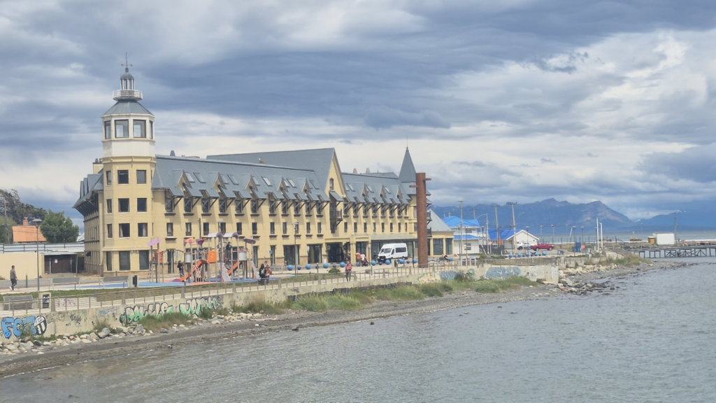
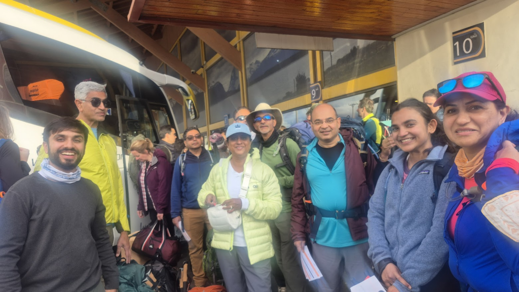
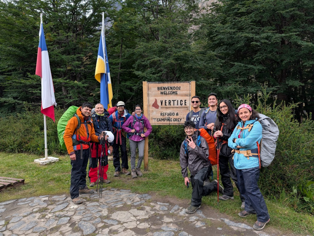
In the evening, our team was briefed by Vertice, the company that booked our W-trek.
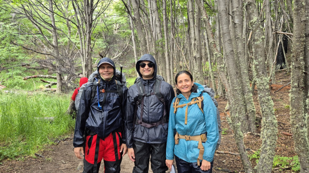
Day 1: Mon, Dec 29, 2025: Arrival at Torres del Paine, Trek to Grey Refugio
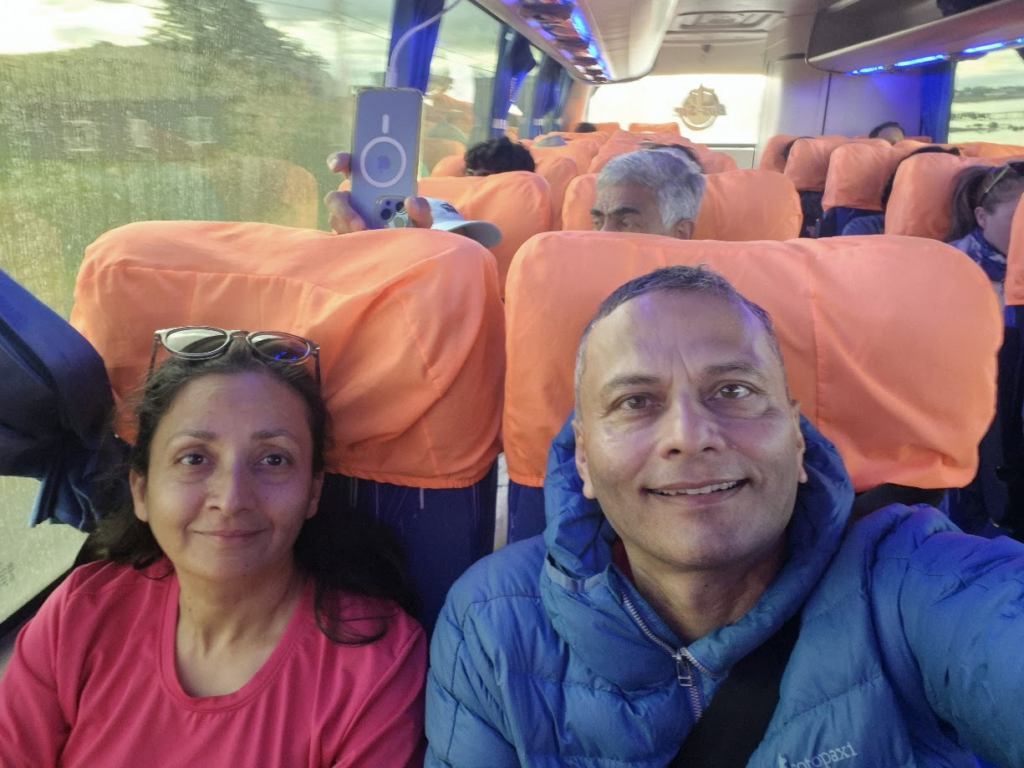
Our first day was a combination of bus, ferry and trek. We took the 7.10 am bus from Puerto Natales and arrived at Torres del Paine entrance at around 9 am and then to the ferry terminal at Lake Pehoe around 10.15 am. Then we boarded the ferry across Lake Pehoe to Paine Grande Refuge. We started the trek from Paine Grande refuge at 11.45 am, reaching Grey refuge at 3.45 pm. Our path on the first day is show with red dots and black arrows.
Our bus ride from Puerto Natales to Torres del Paine was comfortable. We were on the 7.10 am bus.
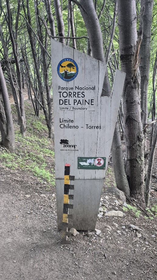
The bus journey was comfortable. We entered Torres del Paine national Park at 9.15 am at the Laguna Amarga gate. Park rangers checked our tickets, no one really looked at passports or ID.
We are continuing on the same bus to Pudeto, the ferry terminal on Lake Pehoe where we get on to the catamaran before we start the trek
From the entrance, we were ferried in smaller buses to Pudeto, the ferry terminal on Lake Pehoe. We got there by 10.15 and took the 10.30 am ferry to Paine Grande Refuge.
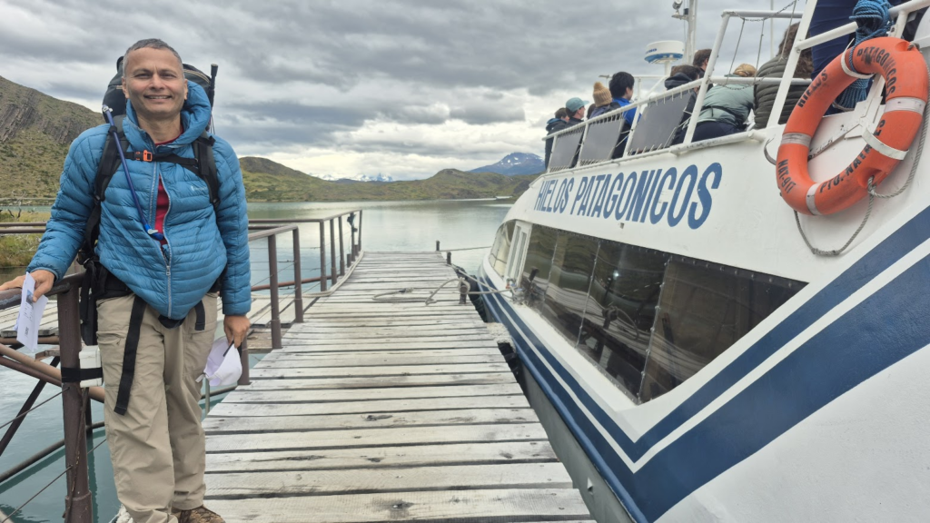
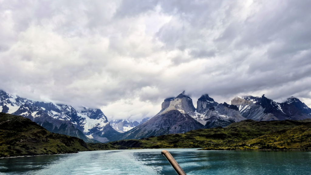
Our ferry reached the terminal at Paine Grande Refuge (main refuge) at around 11.10 am.
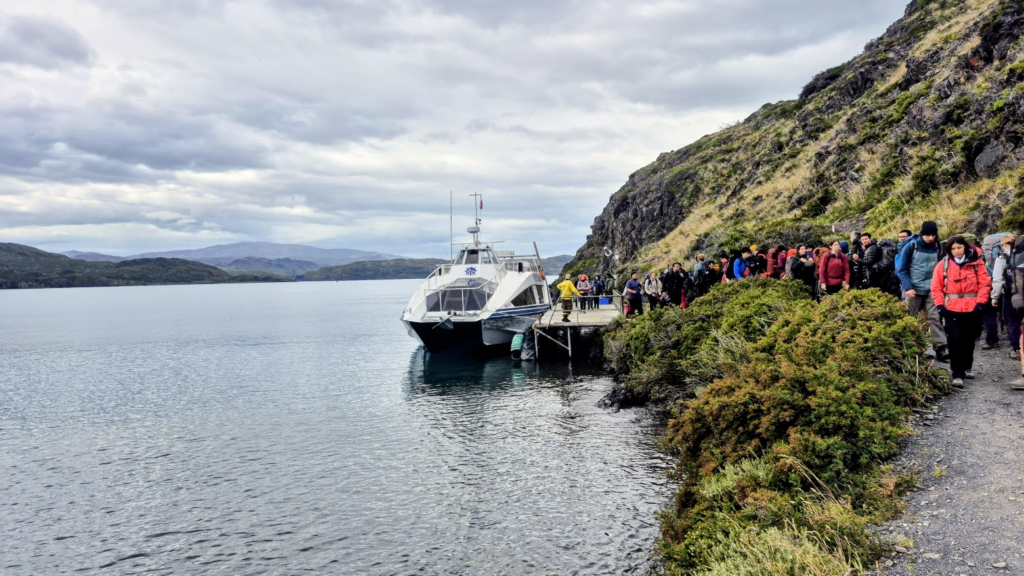
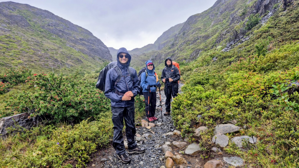
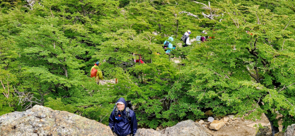
We started our trek from Paine Grande refuge around 11.45 am. It had already started raining. We put on our rain gear to prepare ourselves for the weather.
Though there was a slight drizzle, it was not very cold. The visibility was quite good. Into the trek, we started seeing some great views.
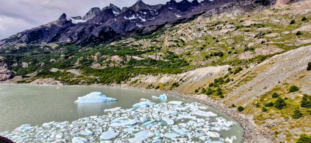
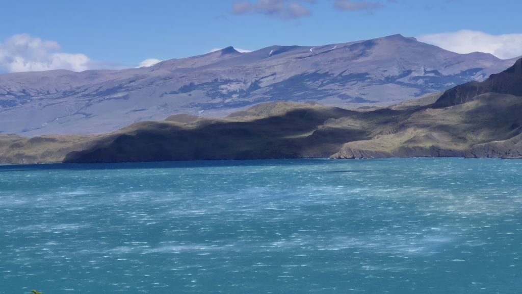
We also started seeing some icebergs floating in the lake.
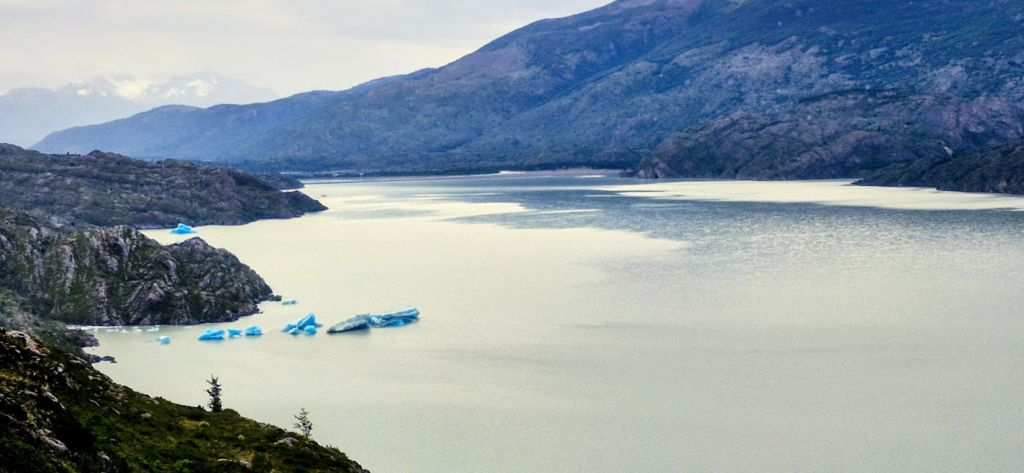
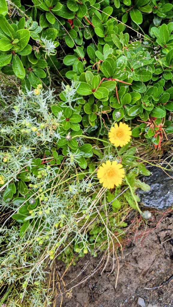
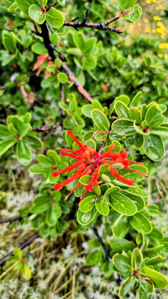
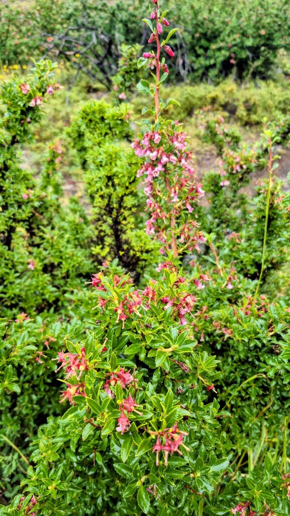
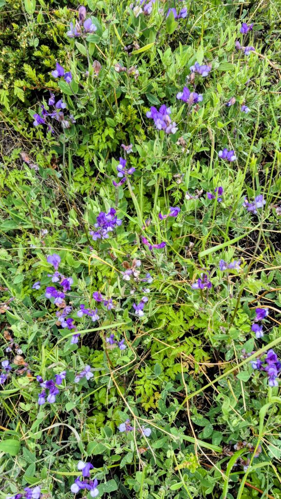
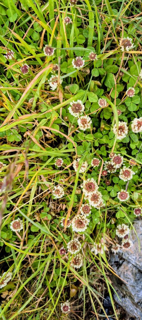
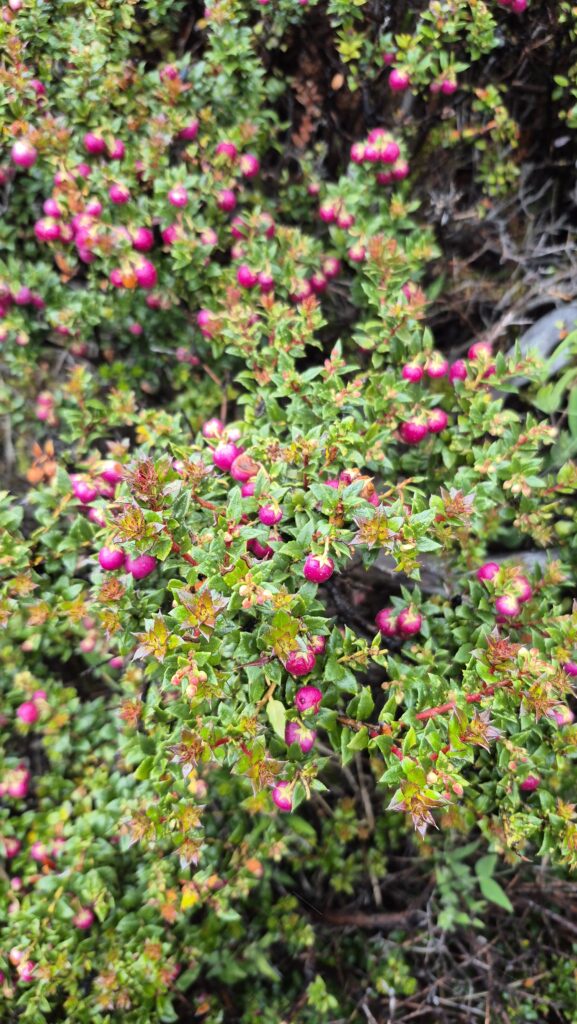
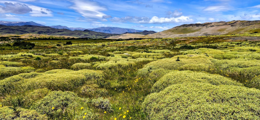
The wildflowers that we saw on the way were very pretty. The weather was not terribly cold, so the walk was enjoyable. There were no major climbs. We simply walked along the shores of Grey Lake.
The trek path was straightforward but beautiful. Due to the rains, the scenery was lush green. Occasional gusts of wind made us lose our balance once in a while, but nothing major.
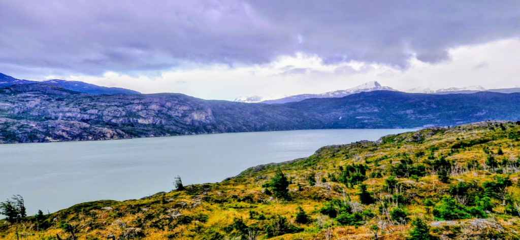
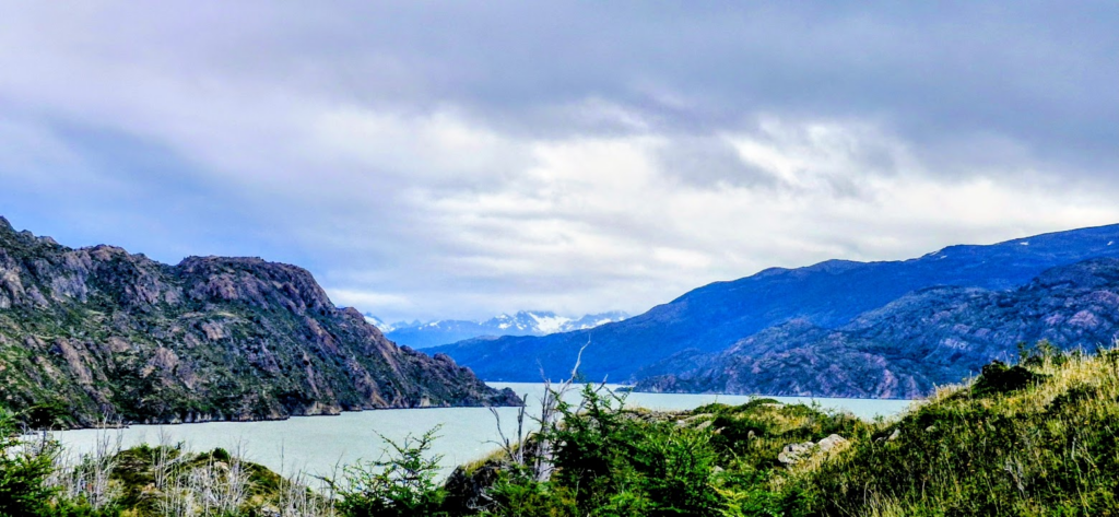
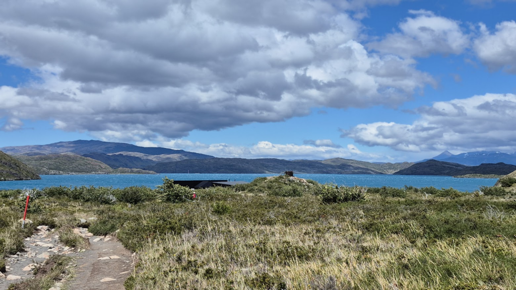
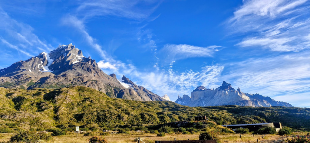
As we got closer to Grey Lake refuge, the path got a little wooded. We could also see Grey Glacier.
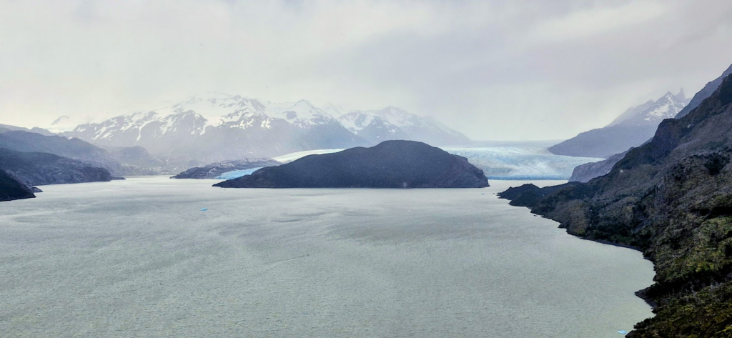
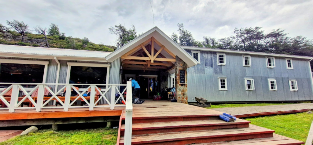
We got to the Grey Refuge (Grey Refugio) around 3.45 pm. The refuge was very comfortable with proper bunk beds, mattresses and comforters.
On Day 1, we trekked 11 km through beautiful views of the Grey glacier, lakes, icebergs, wildflowers and snow clad peaks. Elevation gain was about 1,200 ft with lots of ups and downs.
In the evening, we went Grey Glacier viewpoint. Since it was summer, there was no problem with sunlight which would be around till 11 pm.
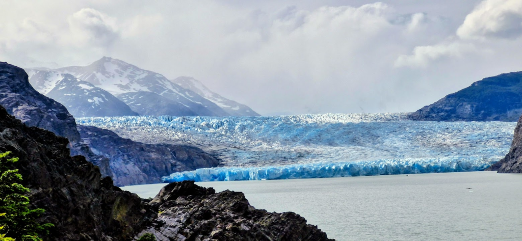
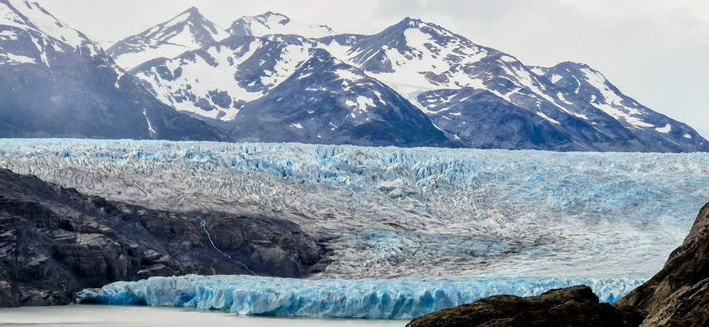
Ice from Grey Glacier is pushed out into the lake during the process of calving, where pieces of ice break off from the glacier. These little icebergs float around in the lake until they melt.
We had a hearty dinner and went to bed around 10 pm.
Day 2: Tue, Jan 30, 2025: Trek from Grey Refugio to Paine Grande Refugio
Today, we had to retrace the path that we took on Day 1, total about 11 km.
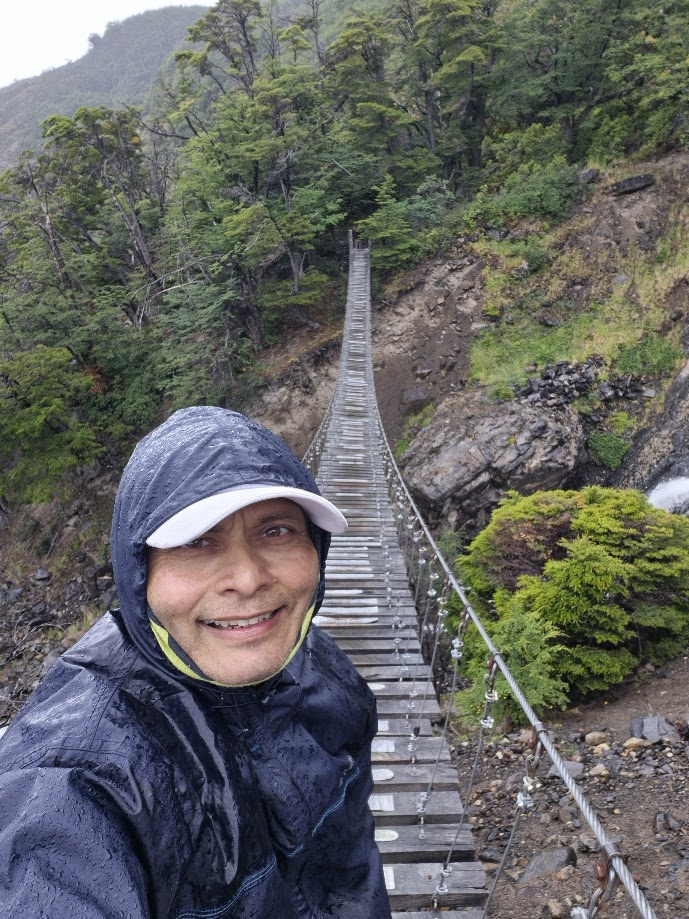
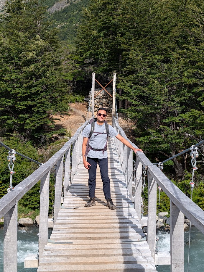
Today, at 9 am, 9 people from our group went north towards the two suspension brigdes that gave great views of the Grey Glacier. The roundtrip distance was 8 km and the weather was very windy. Therefore, remaining trekkers from our group started at 10 am and headed towards Refugio Paine Grande. The trekkers who went north to the suspension bridges started back from Refugio Grey at around 12.30 pm.
This portion from Refugio Grey to Refugio Paine was a retracing our path from the first day, about 11 km. There were heavy wind gusts today on the trail.
I decided to go only until the first suspension bridge and return back to Refugio Grey onwards to Refugio Paine.
Aditya and Anu went northwards to the suspension bridges and Grey Glacier.
The team going south went about at a leisurely pace, taking their time, eating lunch. The weather was a little cloudy with some rain. It was simply retracing the path that we took on Day 1.
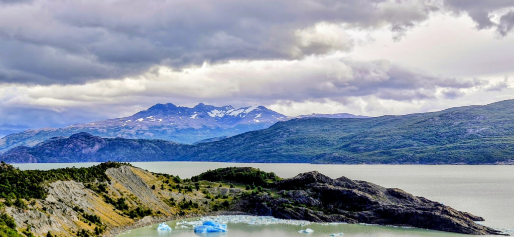
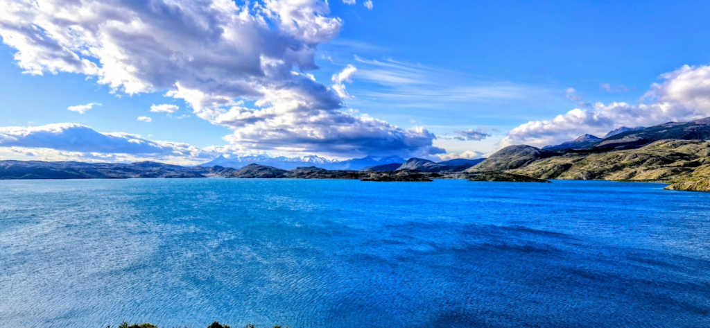
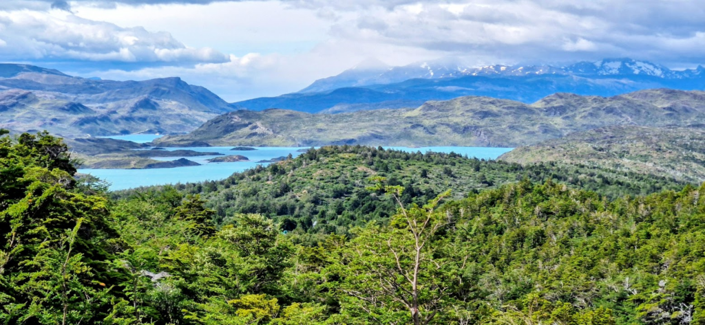
Skies cleared up in the afternoon as we approached Refugio Paine. Lake Pehoe was clearly visible.
The team reached Refugio Paine between 3 and 5 pm. Distance covered was between 11-19 km (7-11.5 miles) depending on the points covered and an elevation gain of approx 1,200 ft.
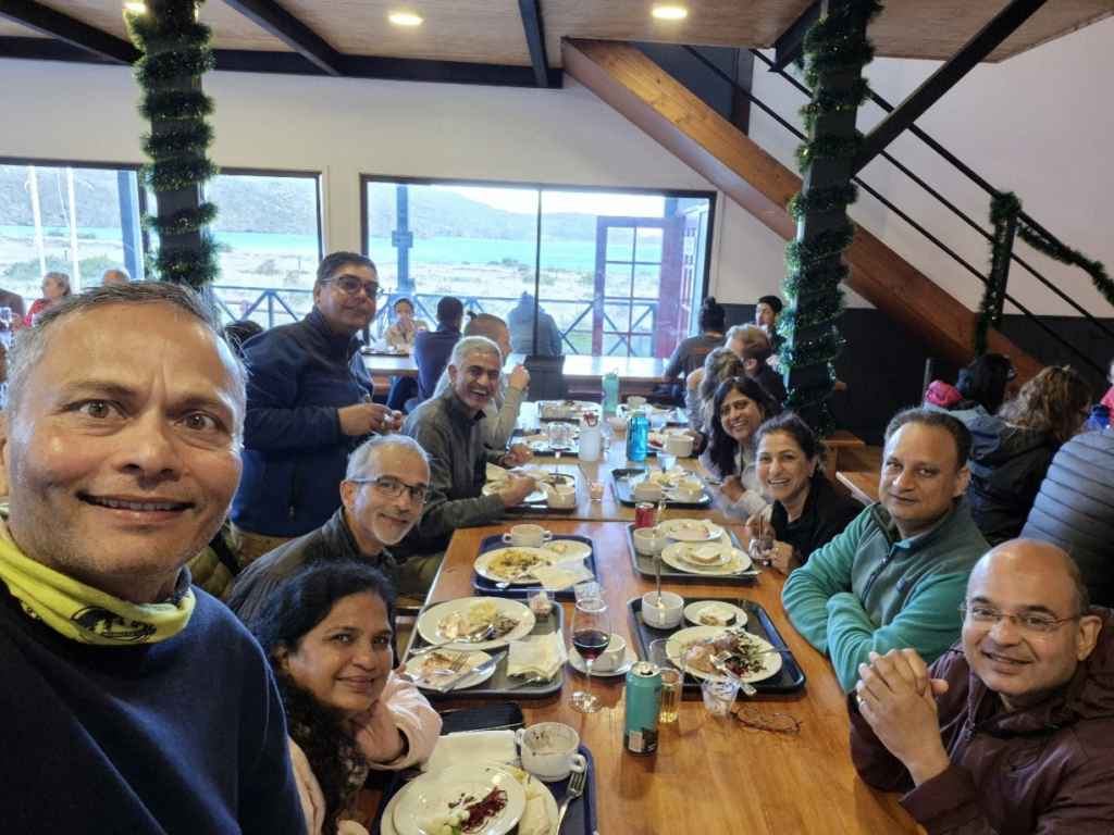
Dinner was at 7 pm. The food was excellent and the refugio was very comfortable.
We lounged around the refugio and took some pictures at 9 pm, it was still daylight.
We went to bed around 10 pm.
Day 3: Wed, Jan 31: Refugio Paine Grande to Refugio Cuernos
Today was expected to a long, tough day with nearly 25 km of hiking and 3,000 ft of climbing.
- Leg 1: 8 km from Paine Grande to Campamento Italiano.
- Leg 2: Go north to French valley (2.5 km one way) and continue on to Britanica (additional 3km one way). Total 11 km round trip for just Leg 2.
- Leg 3: Campamento Italiano to Refugio Cuernos (6.5 km)
In the picture below, notice how we are doing the middle section of the W to Valle Frances and Britannico.

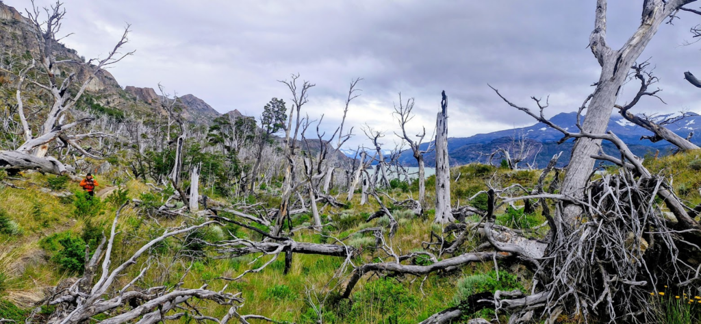
The day started of with beautiful weather, no sign of rain.
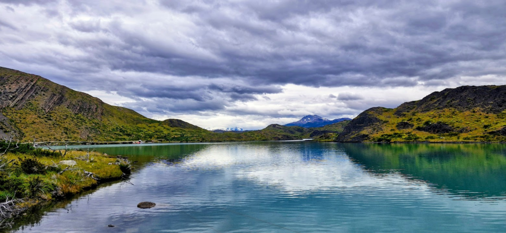
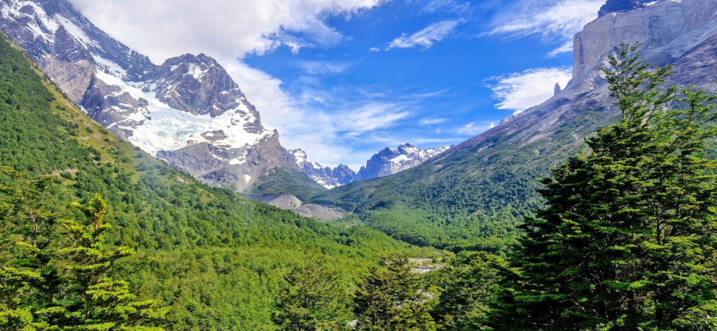
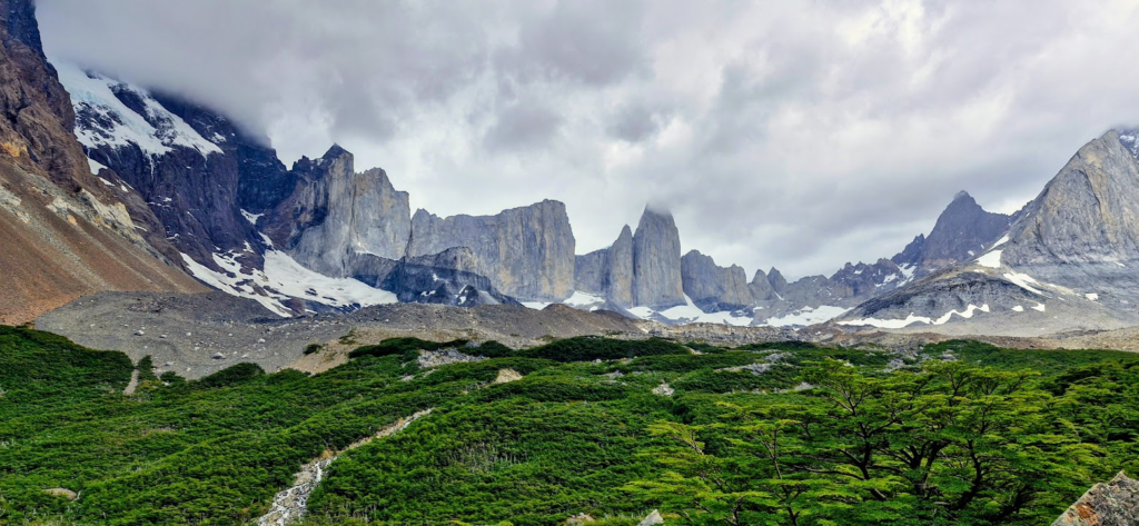
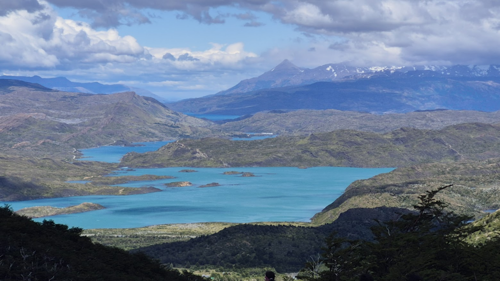
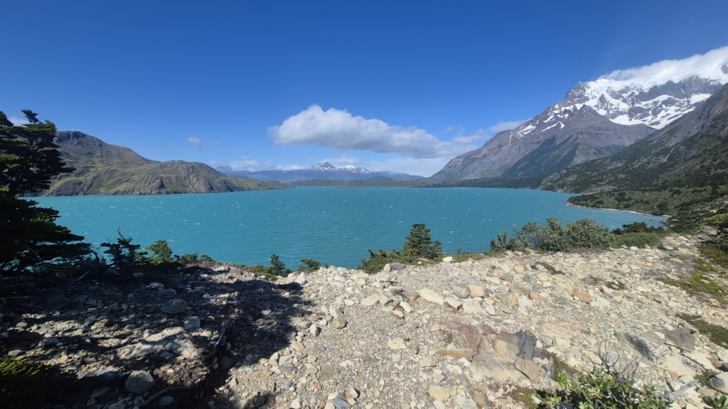
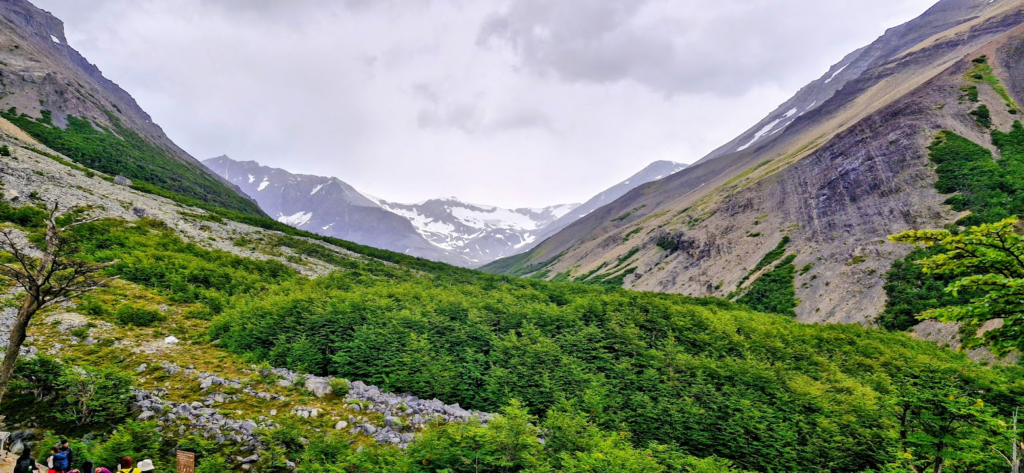
Lake Nordenskjold was visible in its true beauty. A lot of locations and lakes are named after countries e.g. Italiano, Brittanico, Frances or explorers in this region e.g Nordenskjold
Views of French Valley became visible as we approached Campamento Italiano (Italian Camp).
We kept our backpacks or our extra stuff at Campamento Italiano and continued our hike to Valle Frances (French Valley).
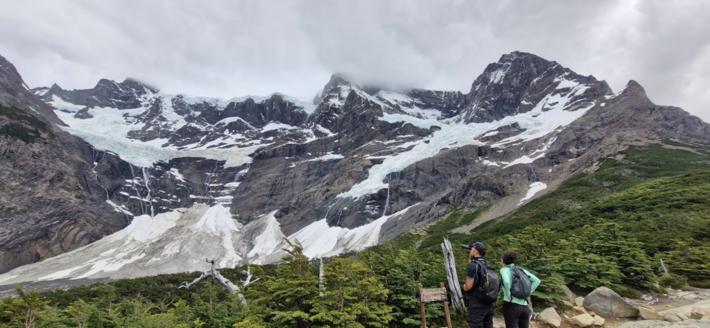
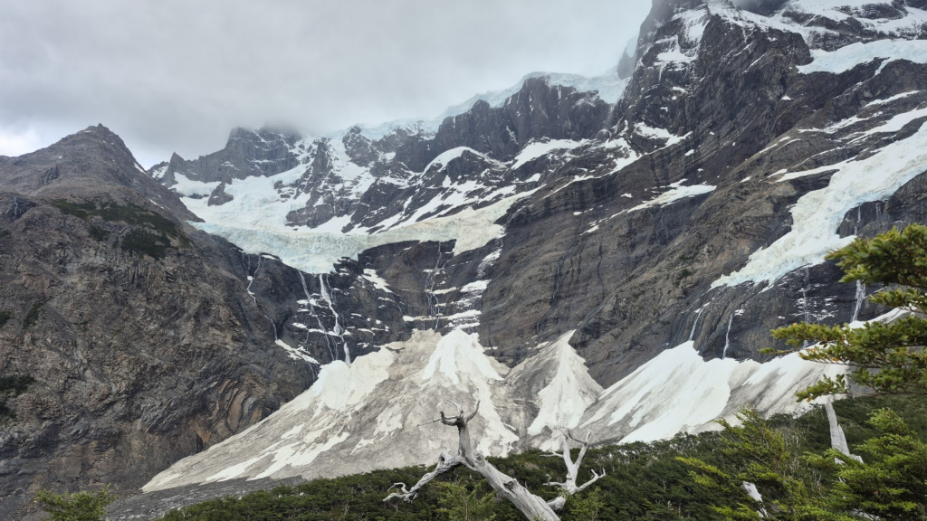
At one point, we also saw ice falling from the top of the mountains down all the way to the bottom.
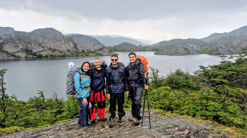
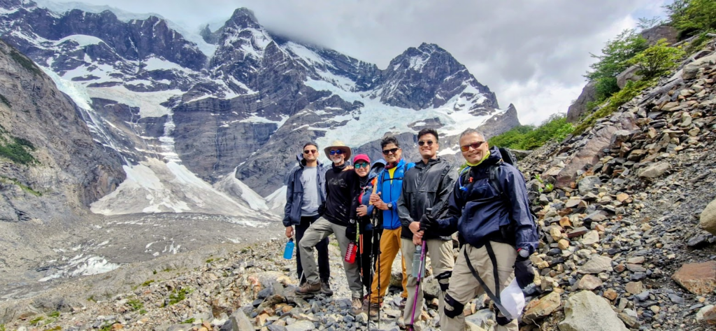
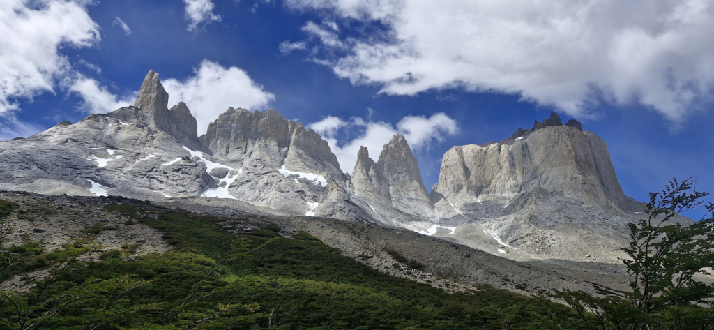
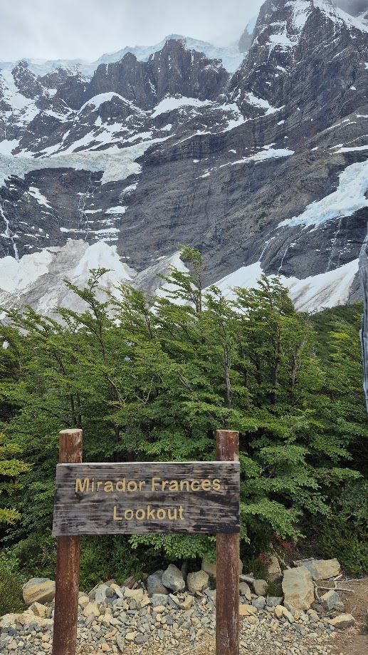
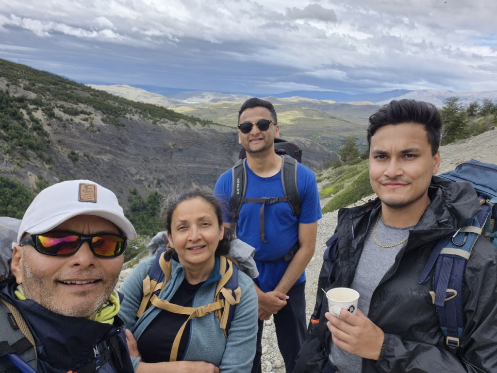
At this point, there was an option to continue on to Britannico (an extra 6 km) or turn back. We decided to continue on to Britannico viewpoint. We were greeted with stunning views.
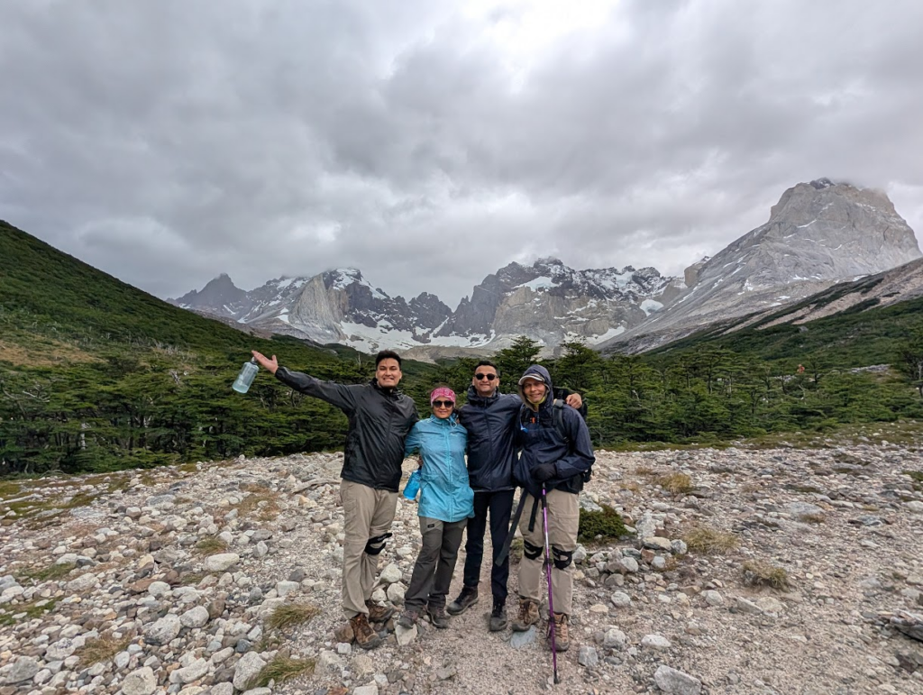
The climb to Britannico was quite steep and tough, but the views at the Britannico viewpoint were simply awesome, snow and green combined.
We could see the other side of the towers.
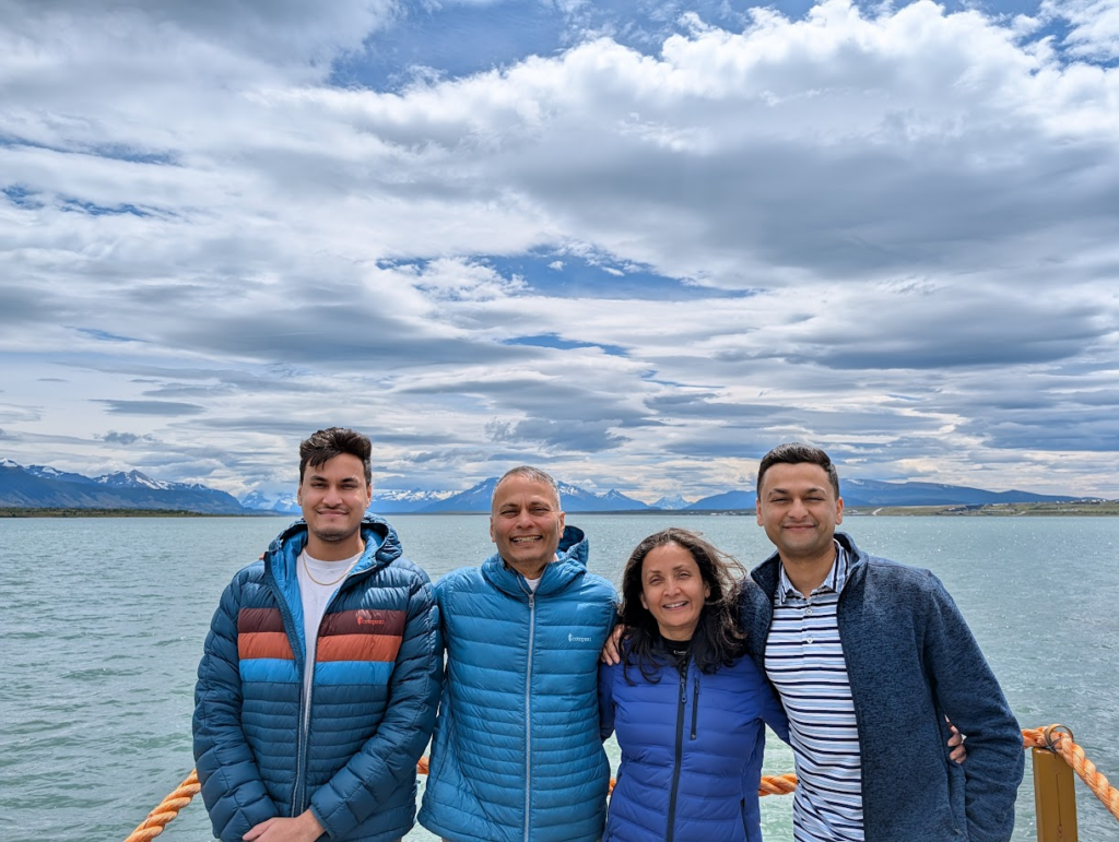
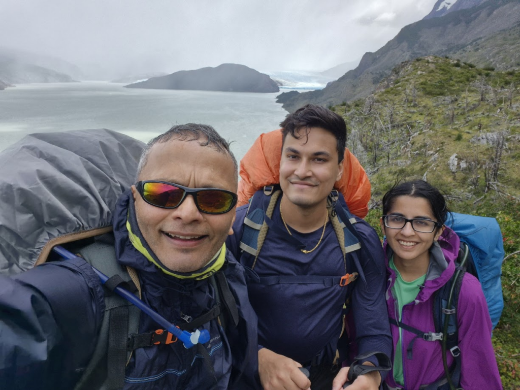
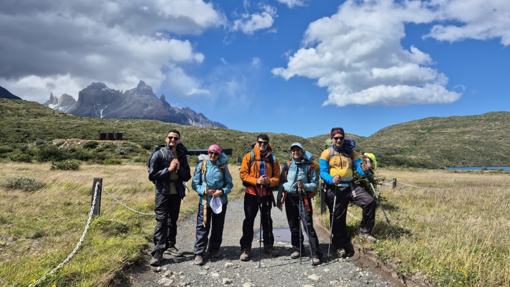
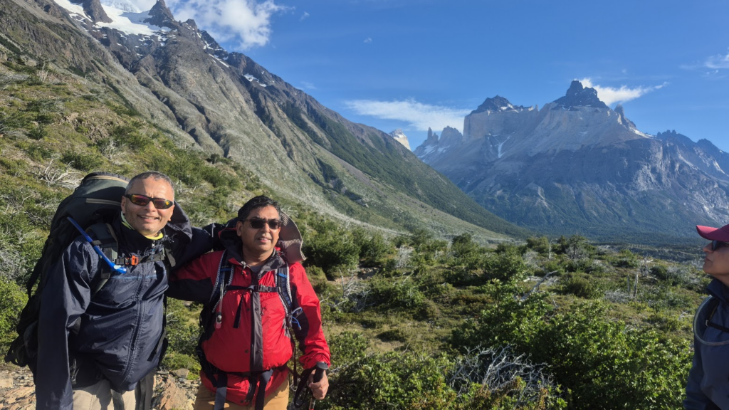
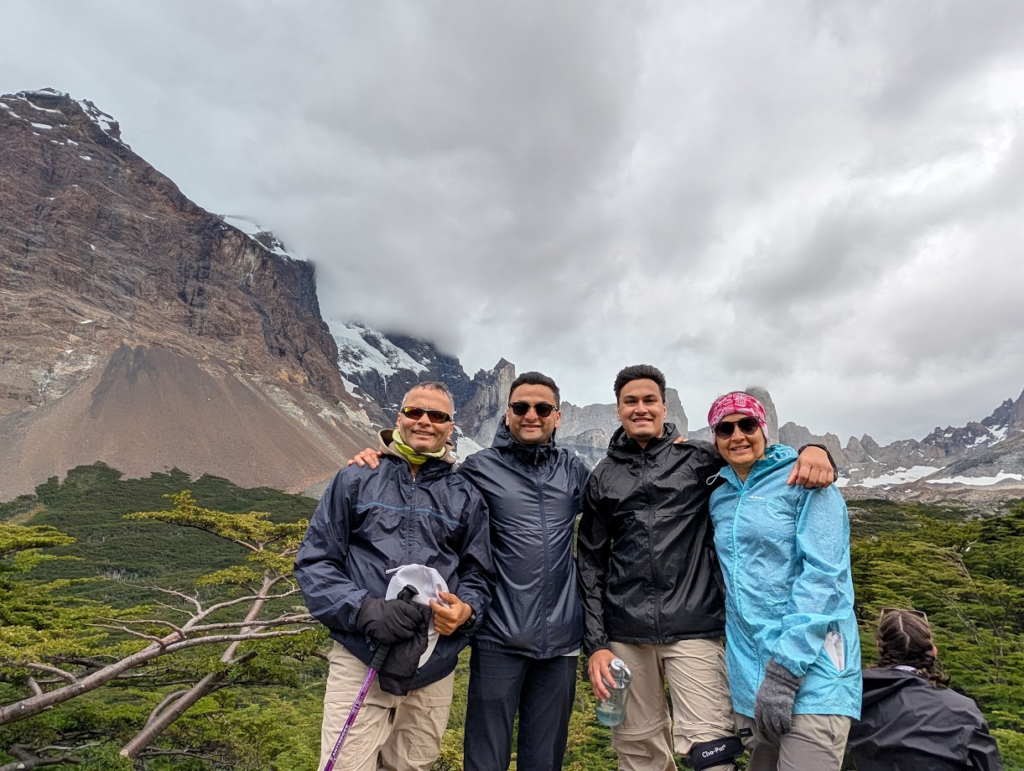
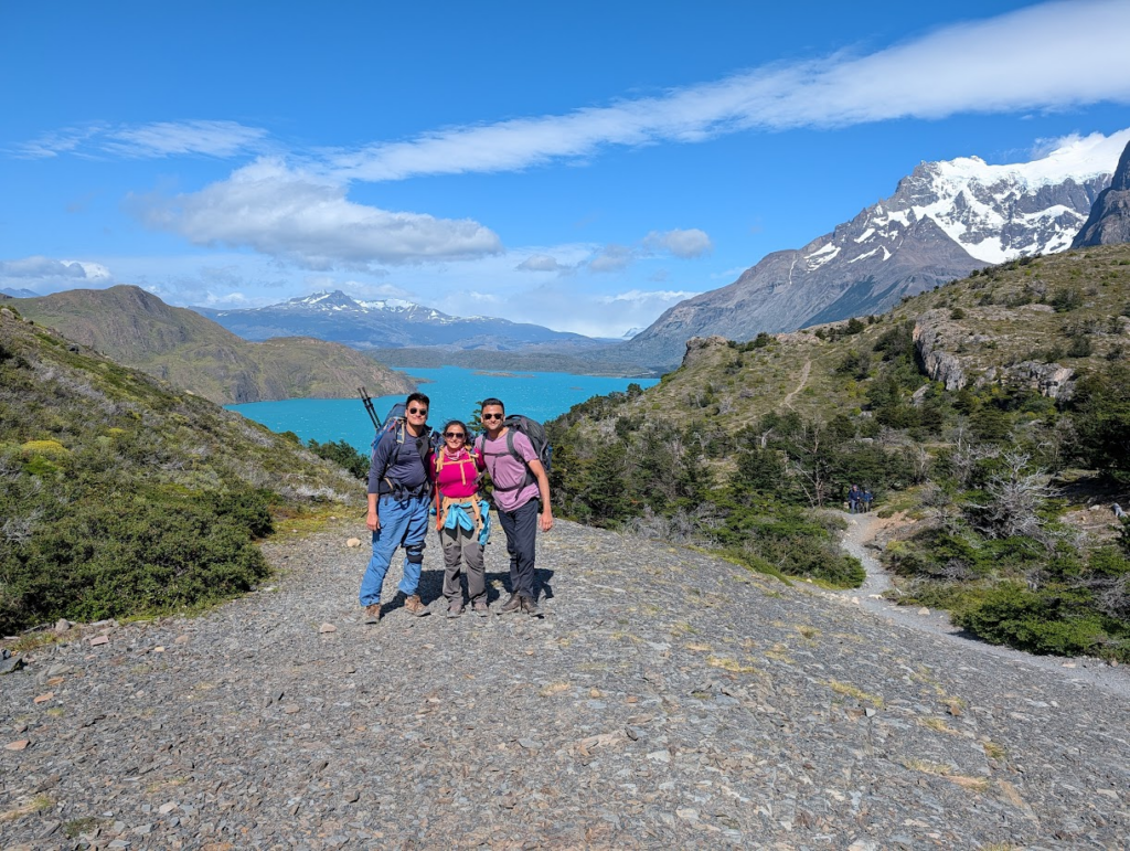
It was a great experience to have all four of us on this trek.
As we made our way down from Britannico viewpoint, we hit the trail back to Campamento Italiano via French Valley.
We were greeting with interesting scenery.
We passed the French Valley viewpoint.
As we got closer to Campamento Italiano, Lake Nordenskjold became visible again.
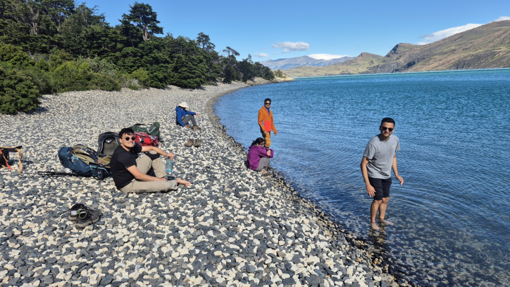
We picked up our bags from Campamento Italiano and continued on to Los Cuernos Refugio. Heavy wind gusts were trying to blow us off the track. Sometimes, the 90 kmph wind gusts picked up water from the lake and sprayed us with lots of water. We had to balance ourselves carefully as walked.
As we got closer to Los Cuenos, we saw a small beach with pebbles. It was a warm sunny day, so a good day to spend time on the beach.
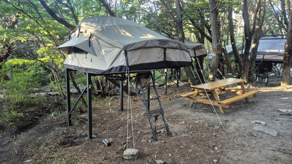
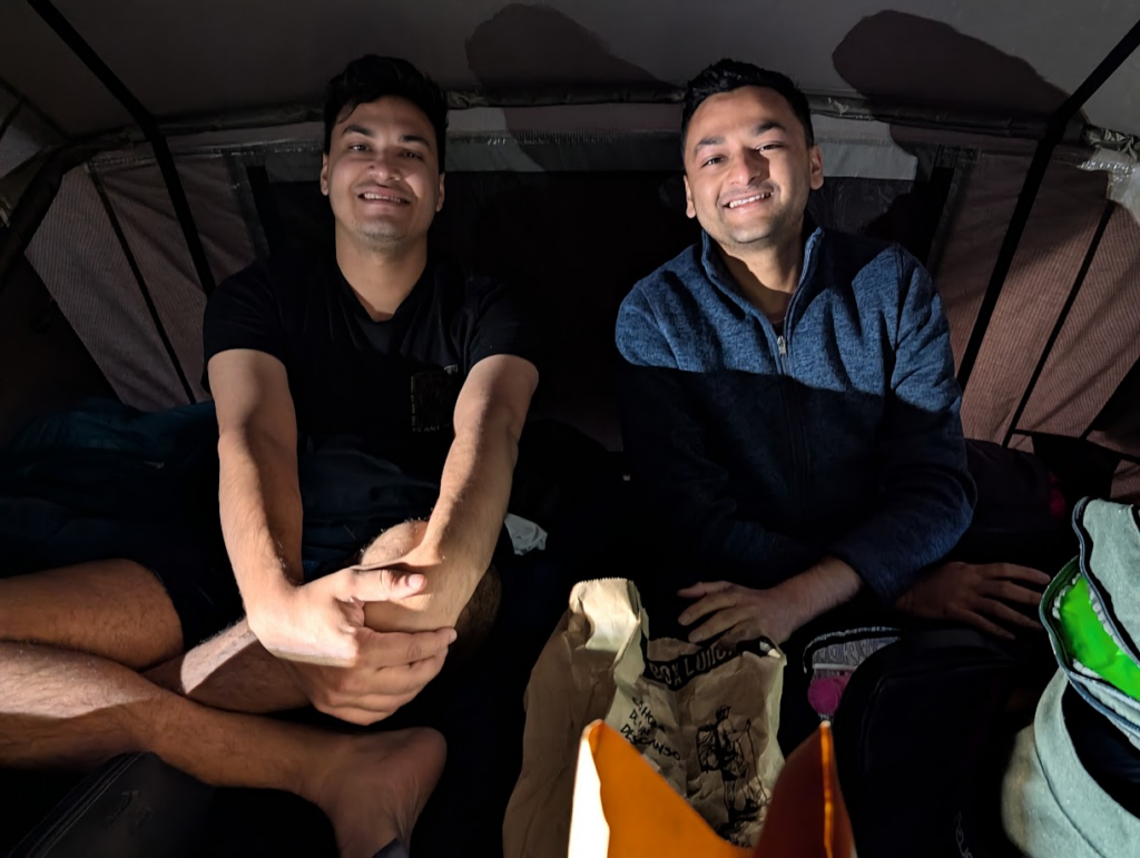
We continued on to Refugio Los Cuernos. On this day, Palnitkar family was staying in tents instead of the refugio. Initially, we had thought that the tents were not very comfortable, but instead, the tents were very spacious and extremely comfortable.
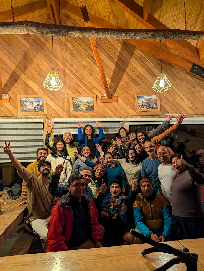
Since it was Dec 31, we stayed up till after midnight to ring in the new year. Lot of partying and revelry. The entire group of IITK 90 and 91 families came together.
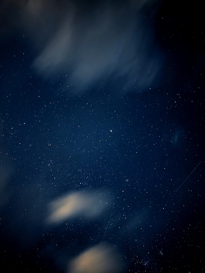
We slept after midnight, ready to ring in the new year. Sahil got a really nice picture of the star-studded skies.
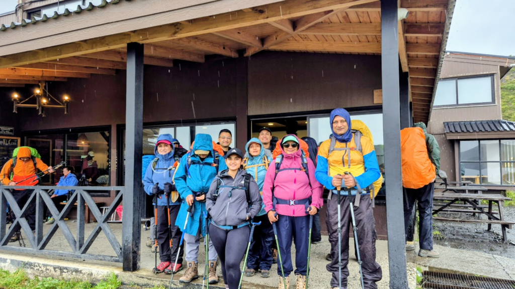
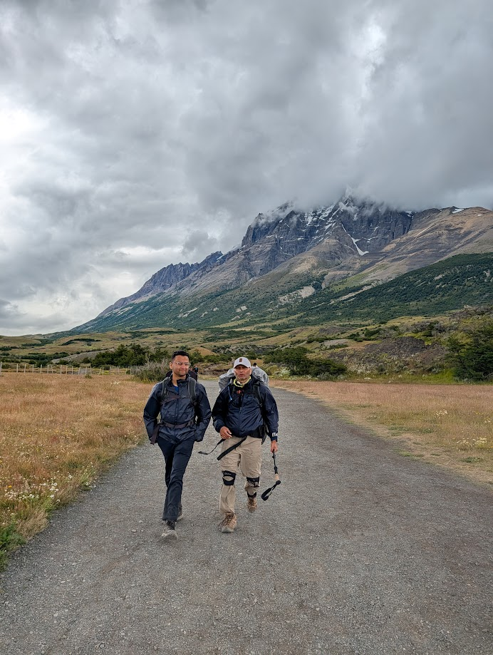
Day 4: Thu, Jan 1, 2026: Los Cuernos to Refugio Central
Left Refugio Cuernos at 10 am with a relaxed start time. We were traveling eastwards and it was going to be an easy day. Refugio Central is the main refuge and accessible by road.
The day was bright and clear.
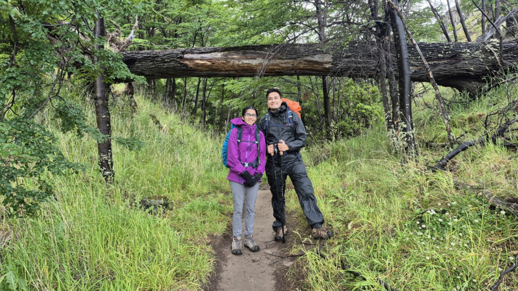
Initially there was a step climb. Then there were lots of ups and downs. Initially, I was walking with Anu, Aditya and Sahil. But at some point, I lagged behind them. I had lunch at around 12.15 pm.
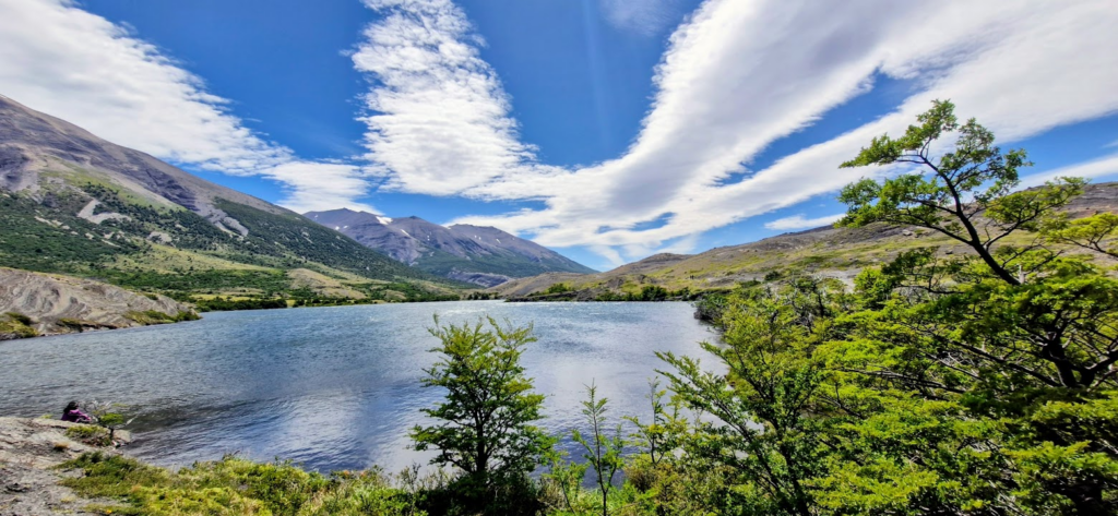
We were walking at an easy pace through the rolling hills. Beautiful sunny day most of the time. Turquoise color Lake Nordenskjold on the right hand side. Walking was fairly straightforward. We walked past Lake Inge as well.
There was an interesting episode. As I walked along the trail, one person walked towards me in the opposite direction. He asked me if my name was Samir! I was not expecting that in a remote place like Torres del Paine, a person would ask for me by name. Then he further asked me if I knew Jai and then whether I knew Praveen Dua who was following me. I was stunned! When we started talking, he told me that he had talked to Jai further ahead on the trail, and since he is from the Bay Area and from IIT Kanpur, they exchanged notes and he learned about us. This person’s name was Anoop. Very interesting incident.
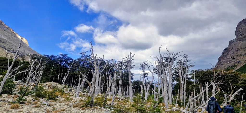
The scenery had changed quite a bit.
We had walked about 7 km today. Our team members reached between 2.30 pm to 5 pm. Team members are now fairly used to the hard trekking days. Everyone was in good shape.
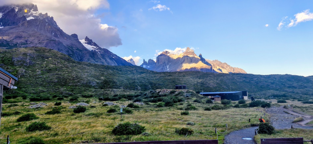
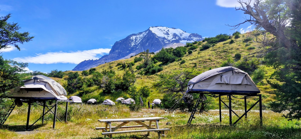
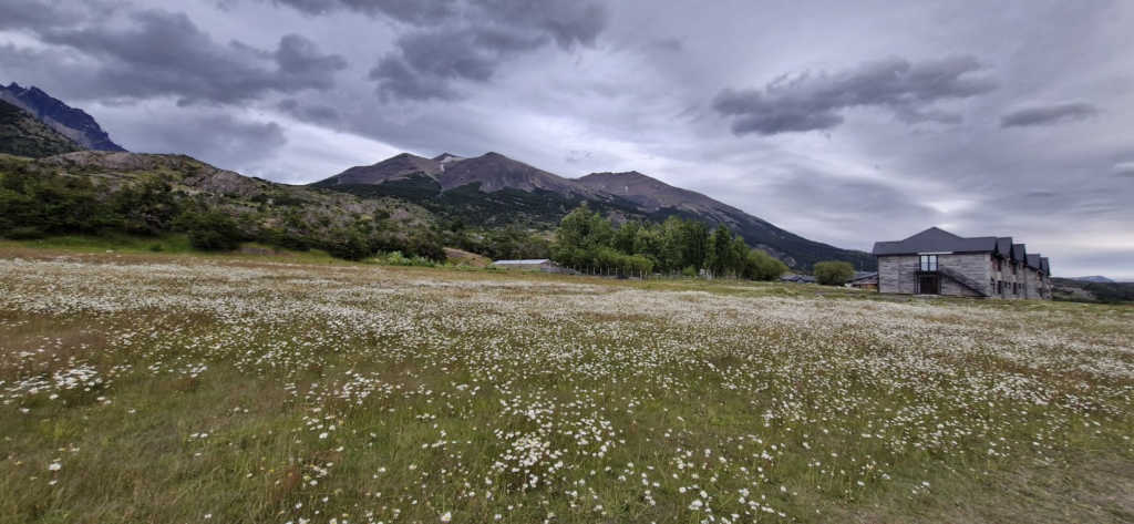
Anu, Sahil, Aditya and I were in tents while everyone else was in the refugio. The tent campground was amazing with wildflowers and beautiful views. The weather was warm, so we could just lay around in the sun. If you are considering the W trek and have a choice between the refuge and tents, choose tents. They are awesome.
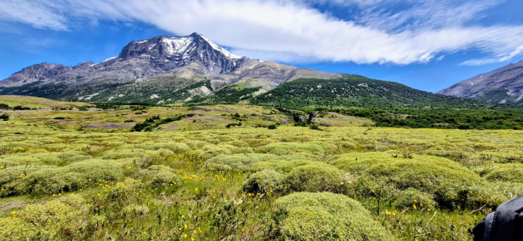
We could also see the blue towers from the campground.
The restaurant and food at Refugio Central was quite nice. They served us promptly at 7 pm.
Day 5: Fri, Jan 2, 2026: Refugio Central -> Base of the Towers -> Refugio Central
We started the day early, leaving at 6 am from Refugio Central. We left early because we had to get back to Refugio Central to catch our bus back to Puerto Natales at 7.30 pm.
We started walking northwards to the Towers. It was going to be a tough day with about 20 km walking.
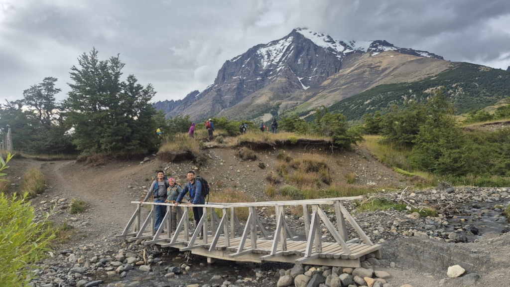
We reached Refugio Chileno in about 2 hours at 8.15 am. In hindsight, we should have booked Refugio Chileno for the previous day. There is a diagonal path from Refugio Los Cuernos to Refugio Chileno bypassing Refugio Central. That should have shortened Day 5.
At around 8.45 am, we crossed from the boundary of Chileno sector to the Torres Sector. We were quite excited to get close to the towers.
The climb was long and continuous, but beautiful.
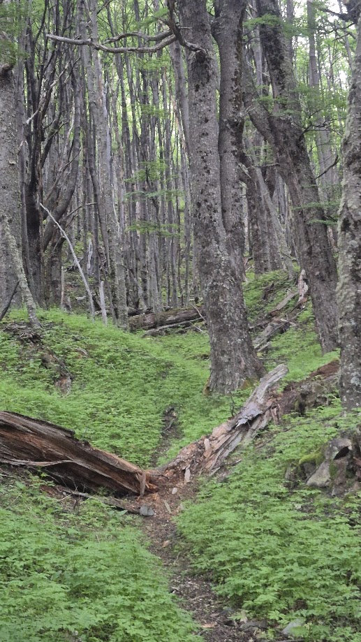
We went through densely wooded paths.
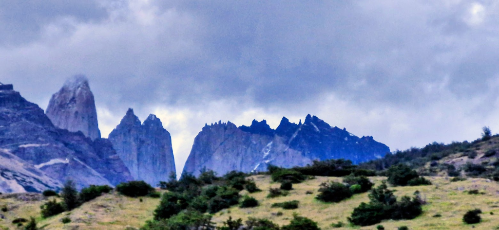
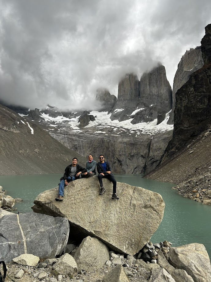
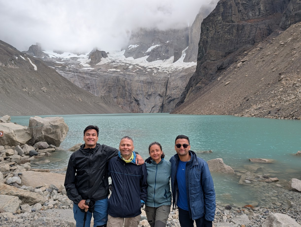
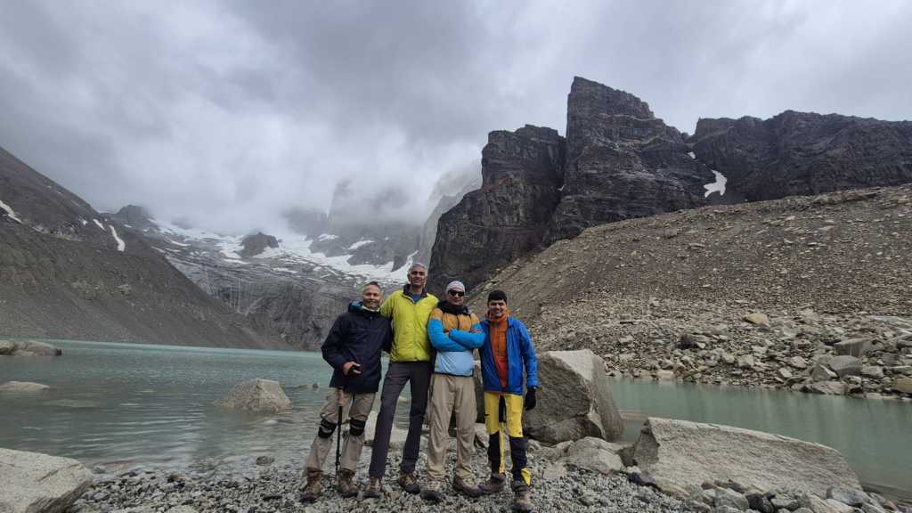
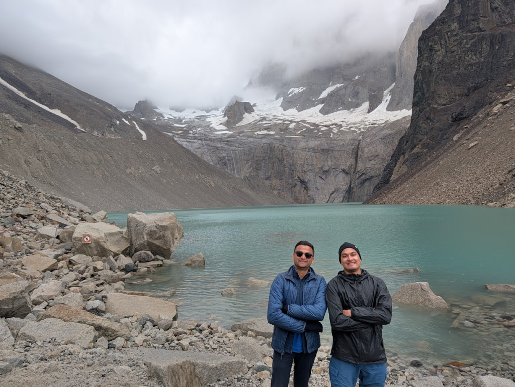
We got to the Torres Viewpoint at around 10 am. The three towers looked like gigantic Empire State Buildings.

This is the endpoint that we had trekked for. We could not get enough pictures.
It was not very windy. The weather was cloudy but not cold. So ate our boxed lunch at the Towers and hung around till about 11.15 am.
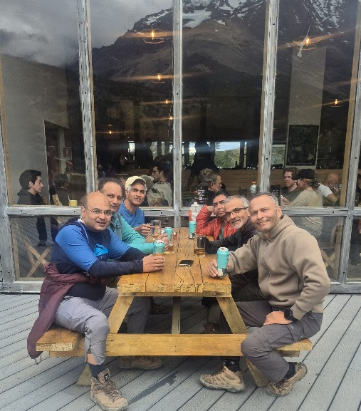
We made our way back to Refugio Central and reached by 2.30 pm. The last of the team members made it by 6 pm, a true testament to their grit, walking a full 13 hours that day.
It was a great feeling having finished another successful trek. The IITK90 team relaxed in the evening with a beer.
We took the bus back from the bus station at Torres Central at 6.30 pm to the gates of the Torres del Paine National Park.
At the gate, of Torres del Paine, we said goodbyes to the beautiful national park. We took the bus from Torres Del Paine gate at around 8 pm reaching Puerto Natales at 10 pm.
This was the last day of our trek. We had started early between 5.30 am – 6.30 am from Refugio Central. Everyone reached “Mirador Las Torres” or Tower Viewpoint between 9.45 am to 11.45 am. The last part was a long rock scramble up to the viewpoint on the glacial lake with a fantastic view of the towers. Each tower looks like an Empire State Building finely carved in the rocks.
The descent felt long with lots of ups and downs. Most of us took a coffee break at the Chilleno Refugio on the way. Team members got back to Refugio Central between 2 pm to 6 pm.
We walked almost 21 km (13 miles) with an elevation gain of approximately 4,000 ft. It was a very tough day, but kudos to each team member for their grit and determination in completing this last day successfully.
Day 6: Sat, Jan 3, 2026: Puerto Natales -> Santiago
We had a relaxed morning and we went to the airport at 12.00 noon for our flight to Santiago.
The trek was extremely beautiful with views of lakes, glaciers, peaks, rivers and towers. We walked a total of approximately 87 km (55 miles) with an elevation gain of approximately 10-15k feet over a period of 5 days. It was a reasonably challenging trek.
Some interesting observations about the trek.
- This is a low altitude trek with max altitude of 4,000 ft. So no altitude sickness.
- Weather was very comfortable, and not very cold at this time of the year
- Refuge facilities are really nice, modern, comfortable, clean with well made beds.
- We were able to take a bath everyday. That felt good.
- Lots of trekkers on the trail. Trails are very well marked. No need for a guide.
- Credit cards are accepted everywhere. We did not need any cash.
- Mornings are cloudy/rainy and afternoons are sunny and clear. No need to start very early.
- Daylight lasts from 5 am to 10.30 pm. Plenty of time to finish to trek comfortably.
- Extremely beautiful trek with a variety of views. Really enjoyable.
- The trek does not have extreme conditions, high altitude, extreme cold, open campgrounds. So this trek is recommended even for people who want creature comforts.
It was a thoroughly enjoyable trek that we will remember for a long time to come. It was a great feeling that each and every team member completed the trek. It is a testament to their toughness that they were able to finish this really challenging trek. Congratulations to each team member!
Immediately after this trek, we went on the Antarctica voyage and then continued on our South America trip. Click on the links if you are interested in those trips.


