

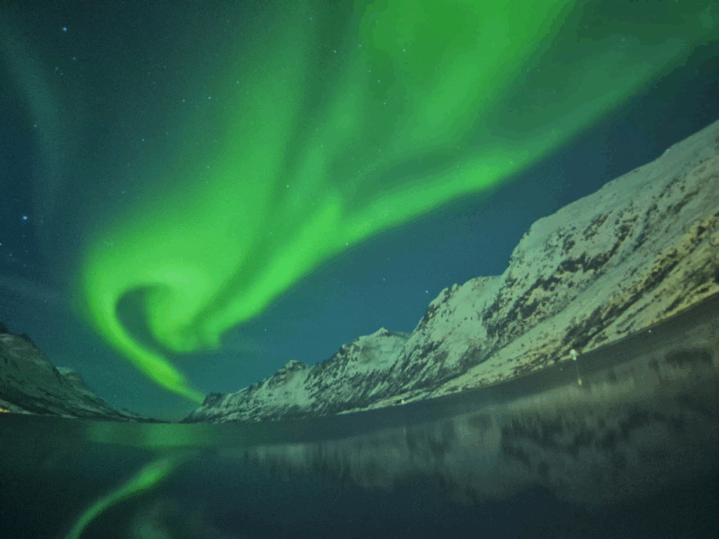
We had a wonderful 6 days in the land of ice and fire, a place with volcanoes and a lot of snow. We drove around the entire island of Iceland covering nearly 3,000 km in 6 days.

Day 1: Saturday, Aug 2: Arrival at Reykjavik, City Walk
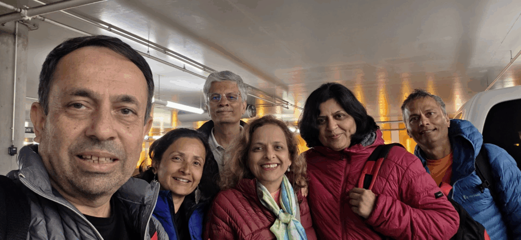
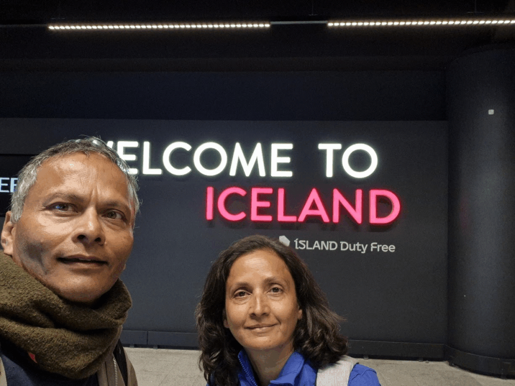
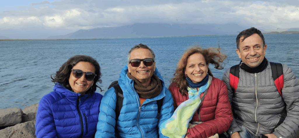
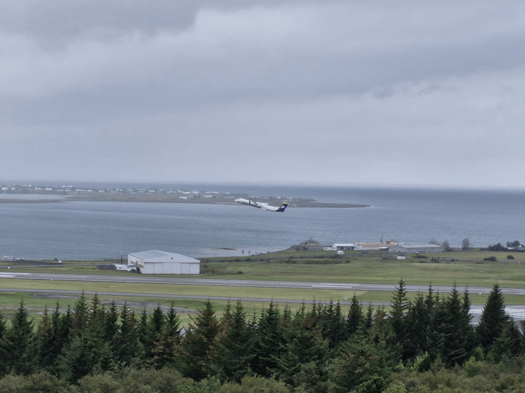
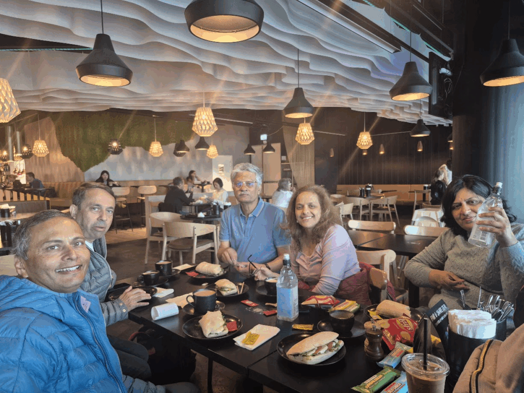
We had planned our Iceland trip with the Bhagwat and Apte families who reside in our apartment complex Rohan Tapovan in Pune. They arrived at Keflavik airport, the international airport about 40 km from the capital city of Reykjavik at 2.30 pm on Saturday, Aug 2. Anu and I had arrived in Iceland the previous night on Aug 1 from Greenland.
We picked up the rental car in the morning and then went to the airport at 2.30 pm to pick up the Bhagwats and Aptes.
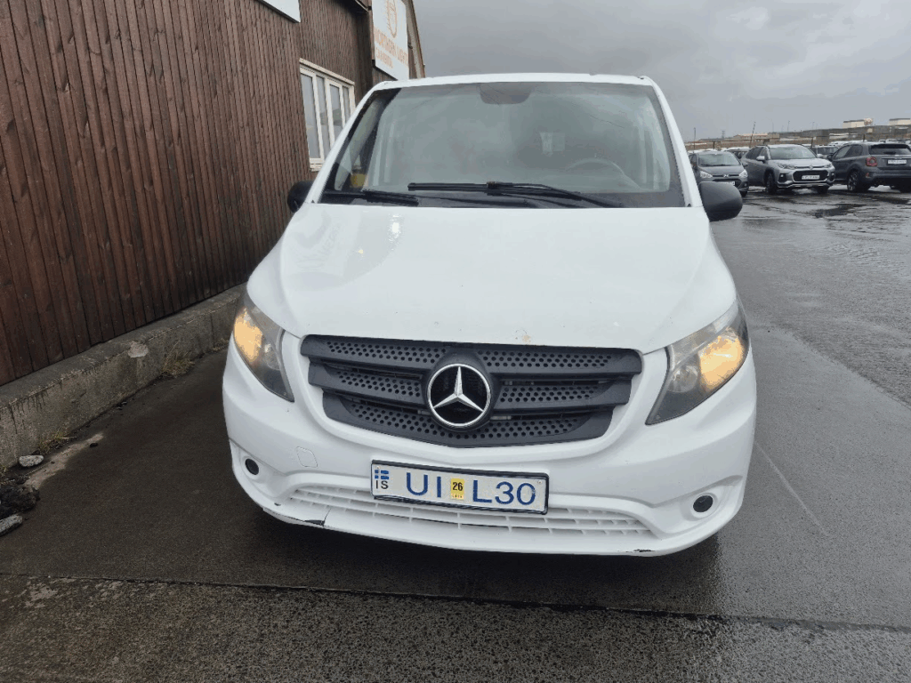
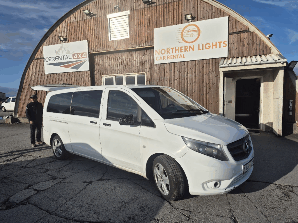
In the rental, we received a Mercedes 9 seater van as a part of our rental. We had booked from Icerental 4×4 but they gave us a really old car with 329,000 km on it. The car had dents, scratches, no rear view mirror. They had no other vehicles. I reluctantly accepted it but wasn’t sure if the car could make the long 3,000 km journey across Iceland. A bad experience with the car rental.
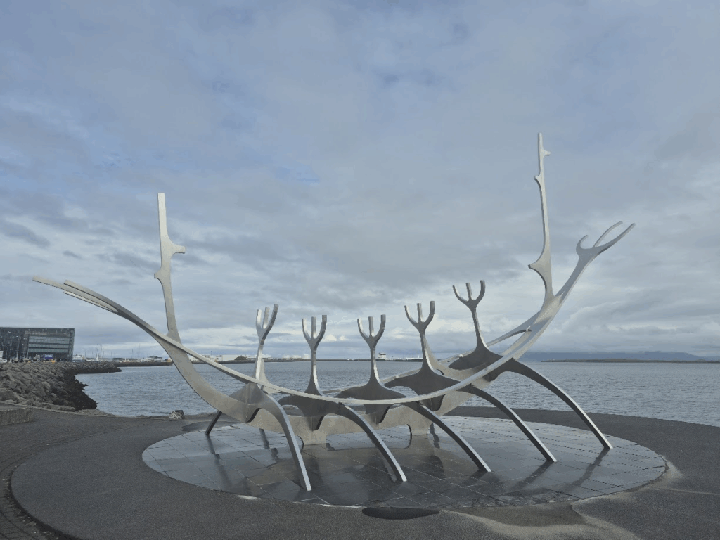
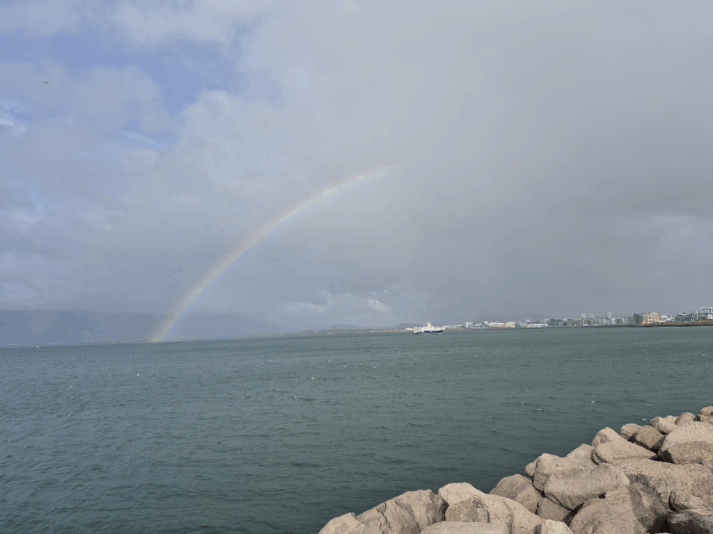
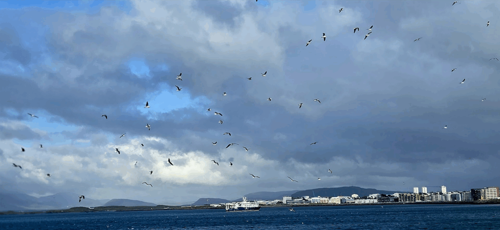
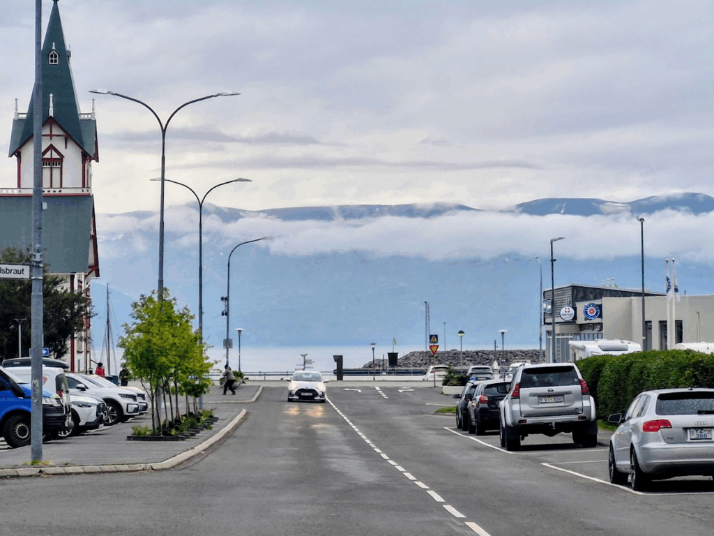
We settled into our hotel and then drove to Reykjavik downtown. We started with the Sun Voyager, a sculpture by Jón Gunnar Árnason, located in Reykjavik Harbor. Sun Voyager is described as a dreamboat, or an ode to the Sun. The artist intended it to convey the promise of undiscovered territory, a dream of hope, progress and freedom.
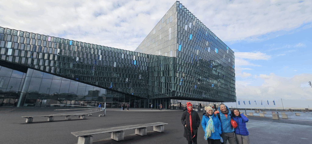
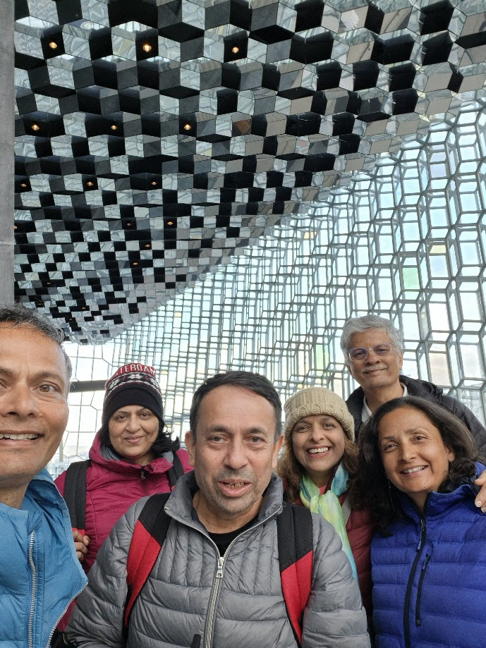
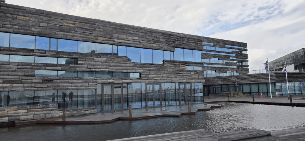
We also walked along the Reykjavik harbor until we came to the Harpa Concert Hall completed in 2011. Both the interiors and exteriors are quite impressive.
As we wandered towards the main part of Reykjavik, we passed the Bank of Iceland, the central bank.
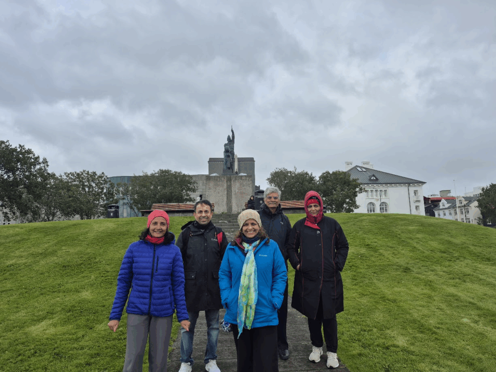
We wandered to a nearby green knoll known as Arnarholl, where lies the monument to Ingolfur Arnarson on the top of Arnarholl, Reykjavik, Iceland. He is traditionally recognized as the founder of Reykjavik in 874 A.D. and the monument was erected in 1907.
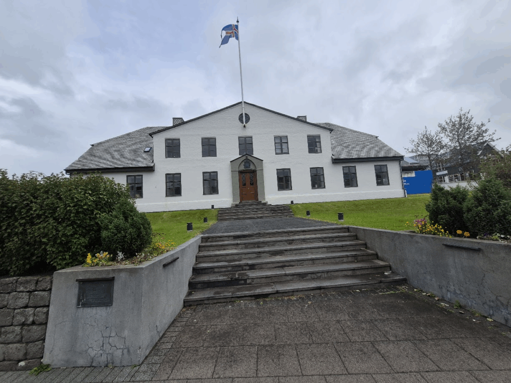
Iceland was a Danish colony until it finally gained dominion status in 1918 and full independence from Denmark in 1944. We walked past the Icelandic Prime Minister’s office.
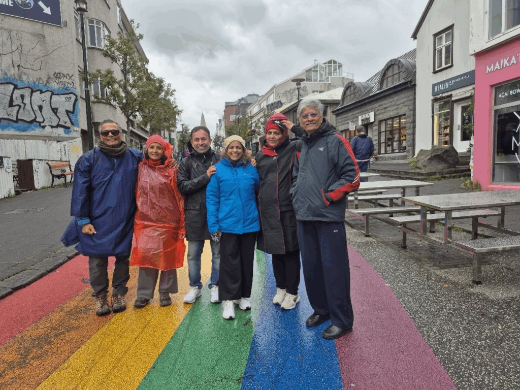
Next stop was the Rainbow street, brightly colored in rainbow colors with flowers adorning both sides of the street.
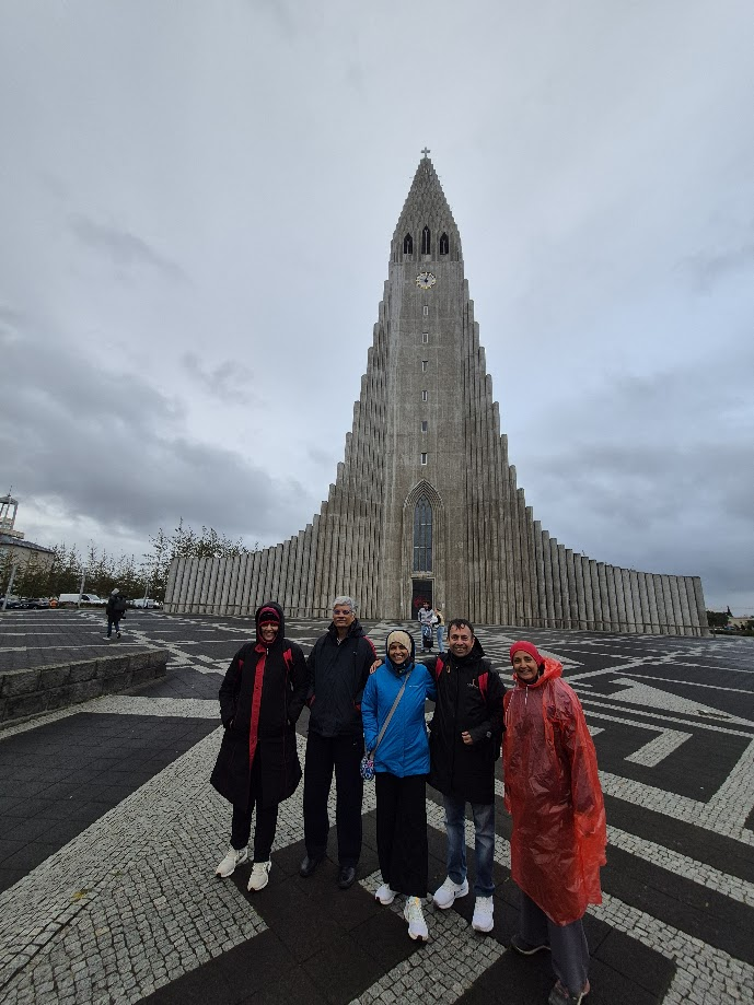
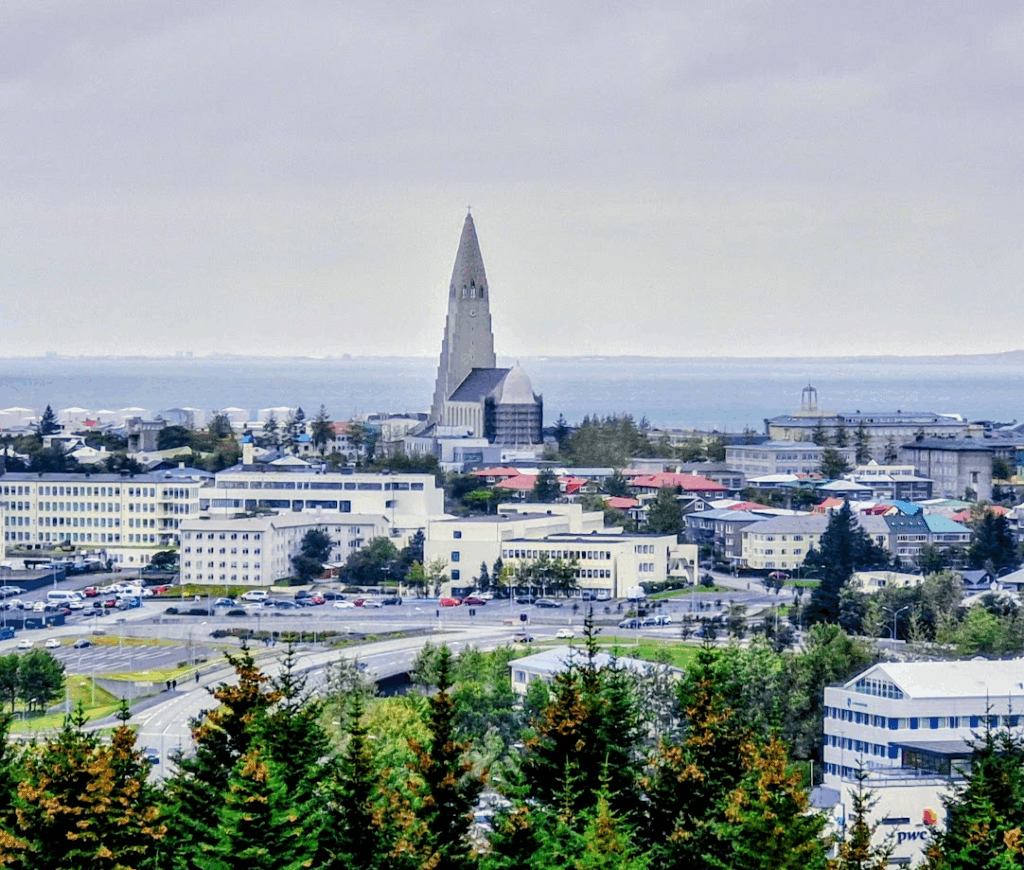
At the end of Rainbow street was Hallgrimskirkja, a Protestant church. It is a 244 ft tall building, the second tallest in Iceland.
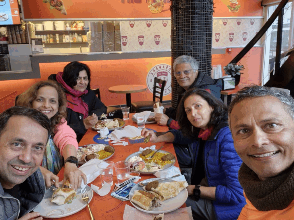
We finished our day with a dinner at a Shawarma eatery. It great middle eastern food.
Day 2: Sunday, Aug 3: Perlan Museum, Fly over Iceland, Volcano Tour near Reykjavik
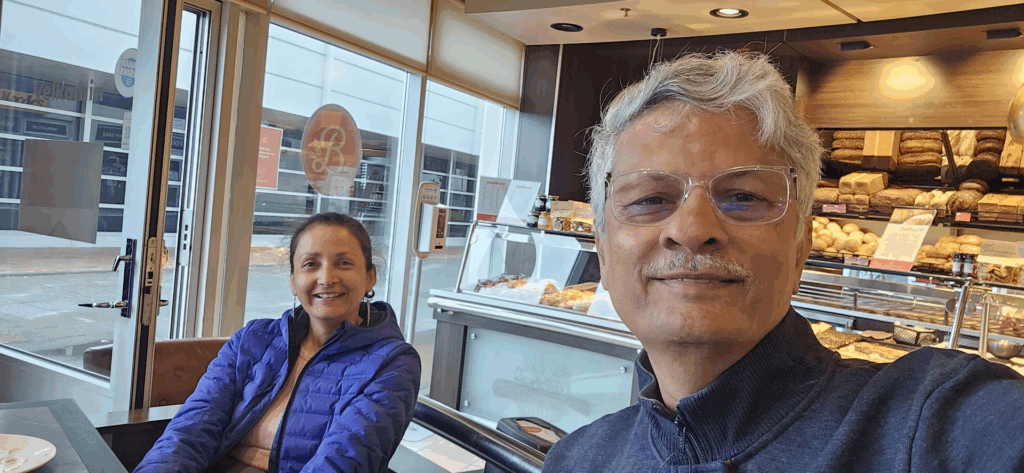
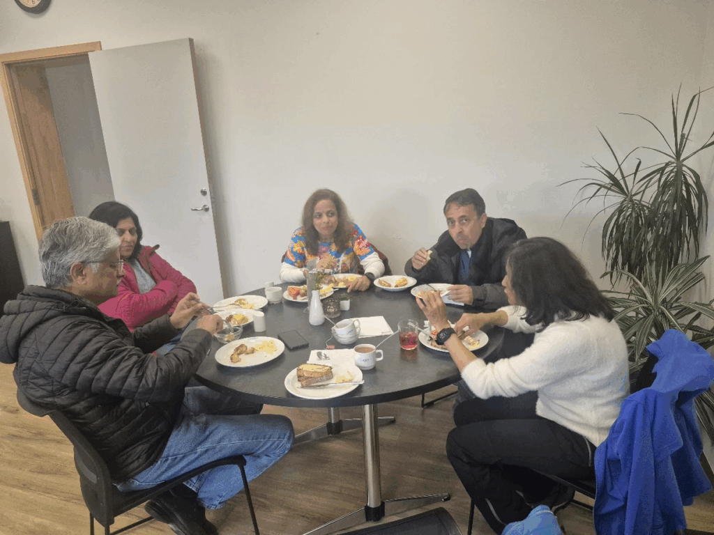
Our second day started with breakfast at a nearby cafe. We usually had some sandwiches or croissants with coffee or hot chocolate.
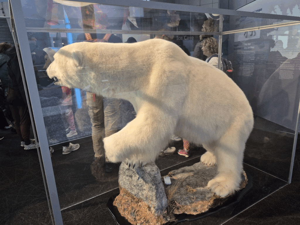
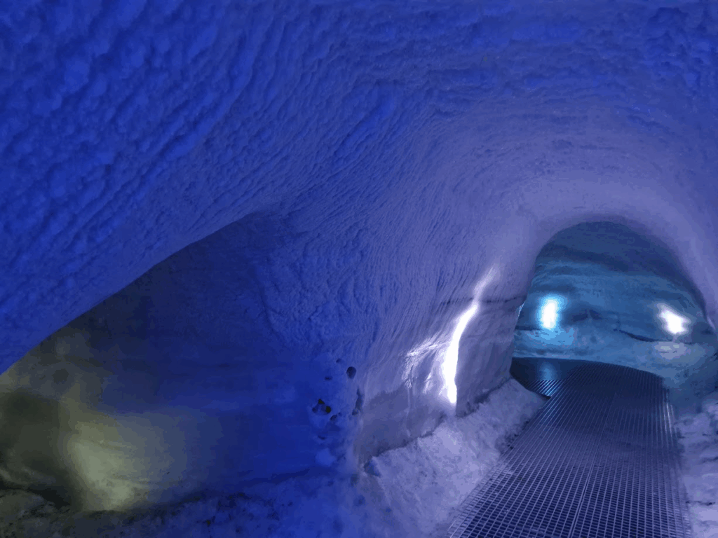
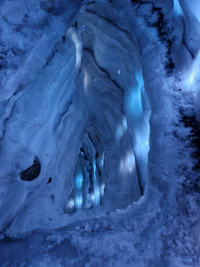
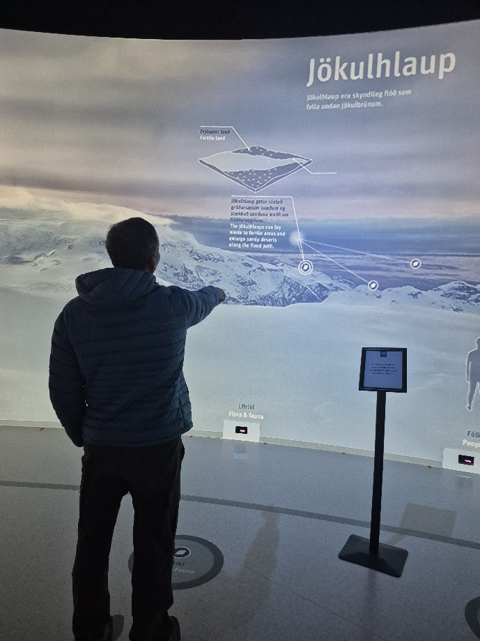
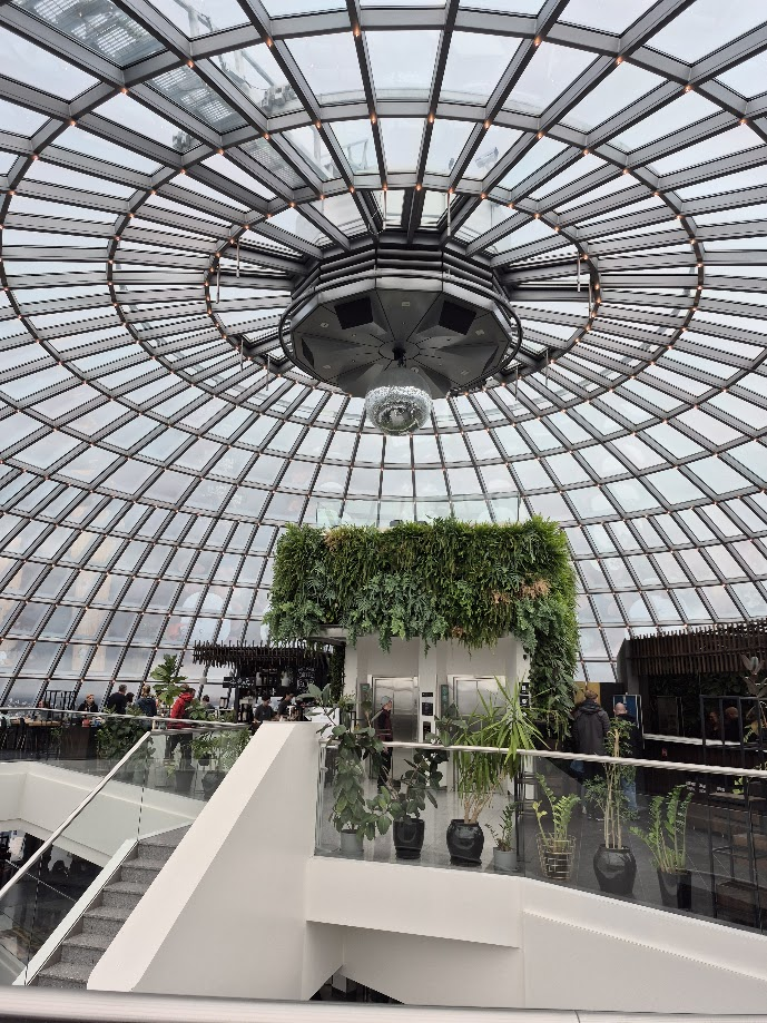
Our first stop for the day was the Perlan (“Pearl”) museum, a natural history museum in Reykjavík, Iceland. It is situated on the top of Öskjuhlíð hill. It was initially only a cluster of hot water tanks, but on June 21, 1991, the building was opened to the public. The building consists of a glass dome resting on top of six district heating tanks. Four of them are still in use, one hosts an ice cave, and one has been turned into a planetarium. It has great interactive exhibits that explain Iceland. It also hosts many shows where visitors can experience the Northern Lights, Insides of a Volcano, an Ice Cave and a Sea Cliff Replica.
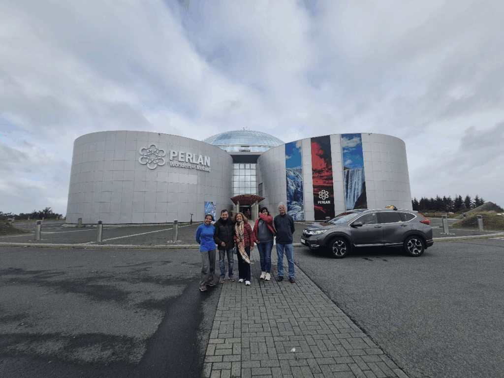
The cafeteria on the top floor of Perlan Museum is quite nice. However, Iceland is an expensive country with the prices approximately 50% higher than the US. 33% of Iceland’s economy is tourism. They have to continuously market themselves as a premier tourism destination.
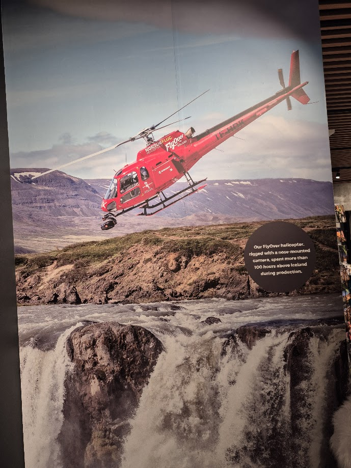
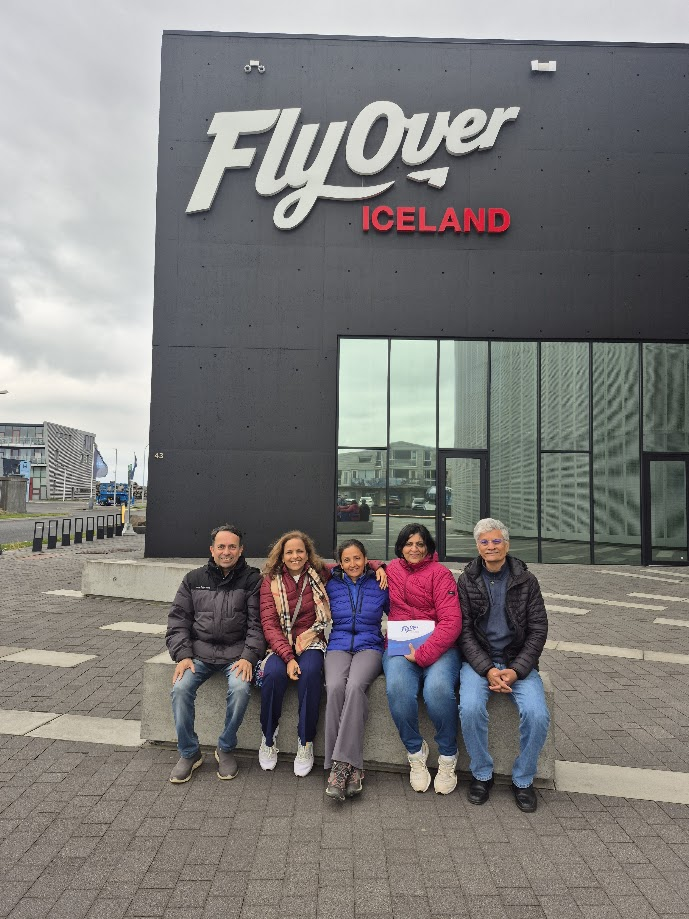
Fly over Iceland is a 7-D experience where we were strapped to our seats as if we were sitting in a helicopter experience various sights all over Iceland feeling the wind, the smells and sometimes, tiny droplets of water. They shot 100 hours of footage with a helicopter and transformed that into a 7D show. It is a great introduction to Iceland.
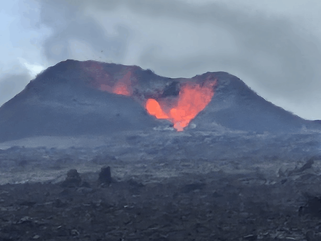
In the evening, we decided to drive about 70 km away to see a live volcano, a part of the recent eruptions in Iceland. Iceland island sits on two tectonic plates, the North American Plate and the Eurasian Plate. These plates are drifting apart at 2 cm per year, causing lots of volcanic activity, geothermal activity and lava flows. Hence, Iceland has a lot of volcanos in addition to large glaciers, truly the land of fire and ice.
As we drove the Fagradalsfjall volcano, we drove past a beautiful lake.
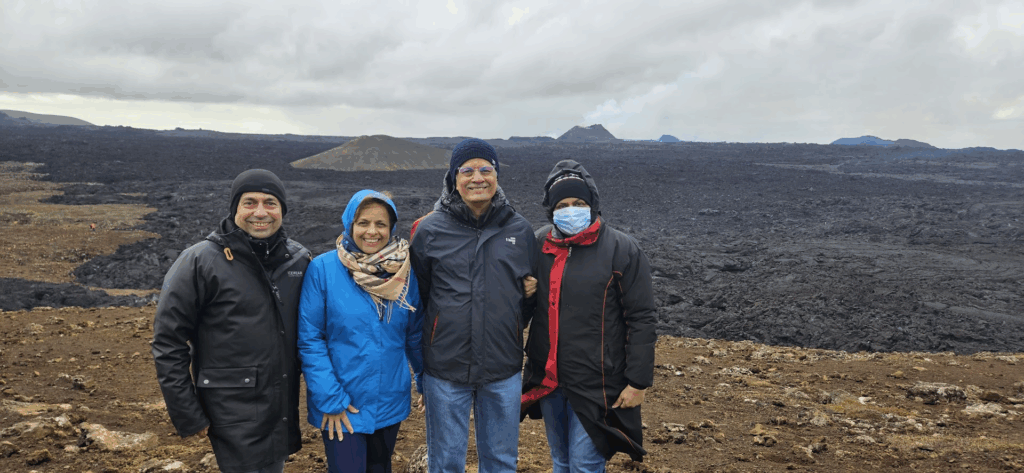
We parked in the Fagradalsfjall volcano parking lot. The volcano viewing was about a 1.15 hr walk or a 15 min ride on monster trucks ($85 per person). It was amazing to see a live volcano, a cauldron of fire spewing lava for miles. As we approached the lava, though it had cooled down, we could still feel the smell of sulfur and the heat.

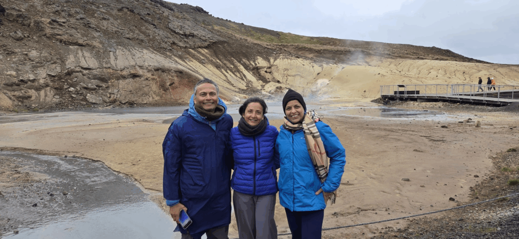
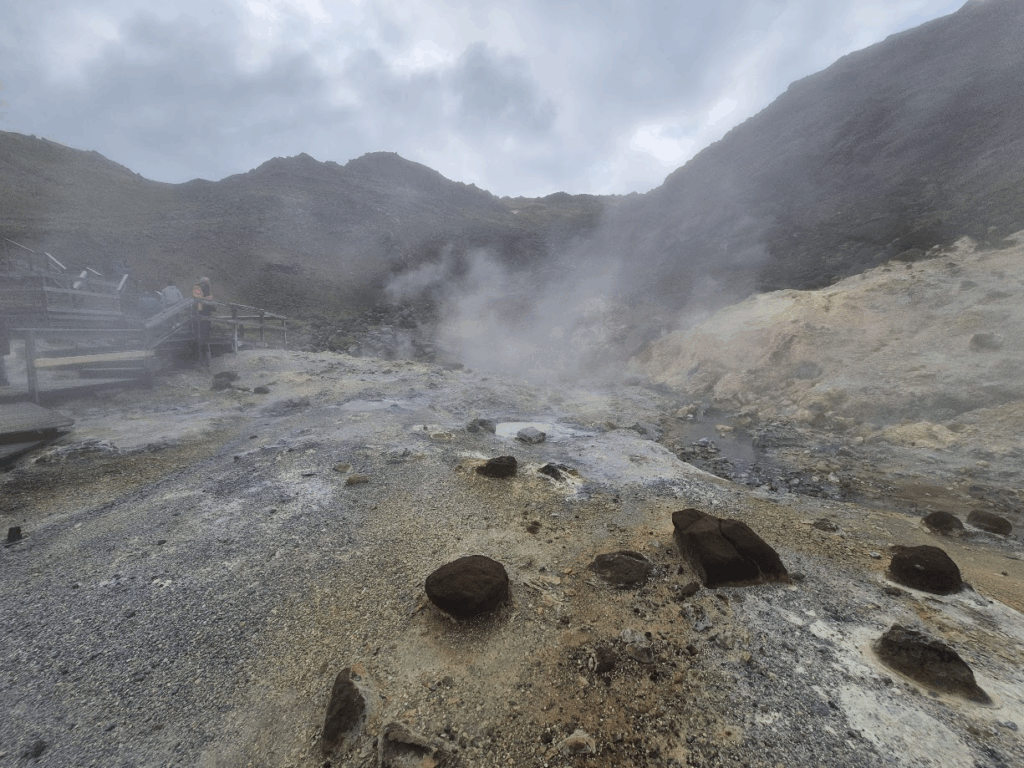
On our way back, we stopped at the pools of Seltun, a hot springs area that contains solfataras, bubbling mud pools, fumaroles, hot springs and warm springs. The high sulphur content of the springs give them a characteristic yellow-orange color. Sulfur was mined at this location until the 1880s. We could see a lot of geothermal activity around the pools. A boardwalk with viewing platforms has been constructed over the area.
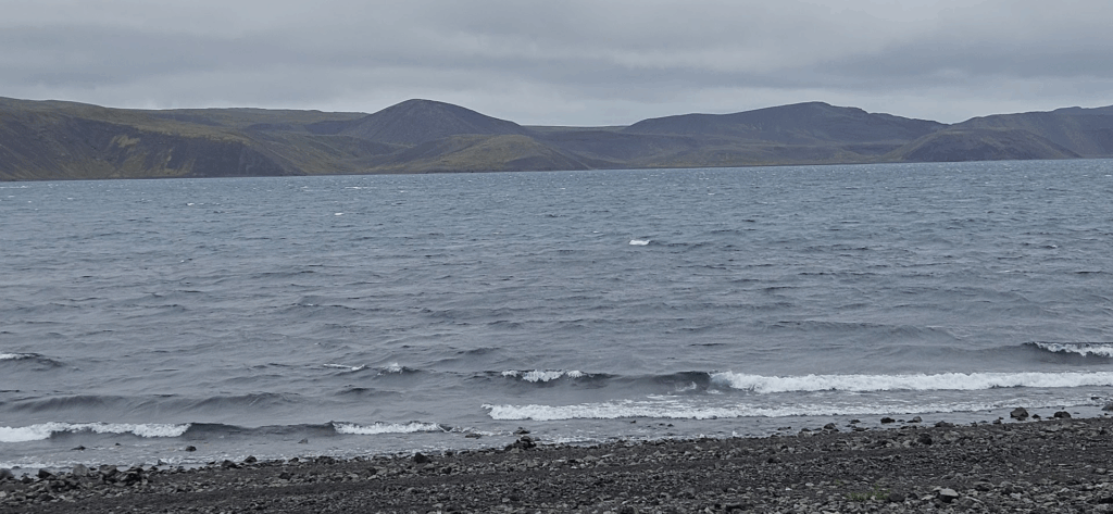
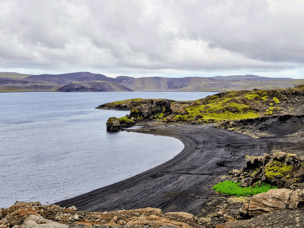
We drove back to our hotel. Our car went past the huge Kleifarvatn lake (“vatn” means lake in Icelandic).
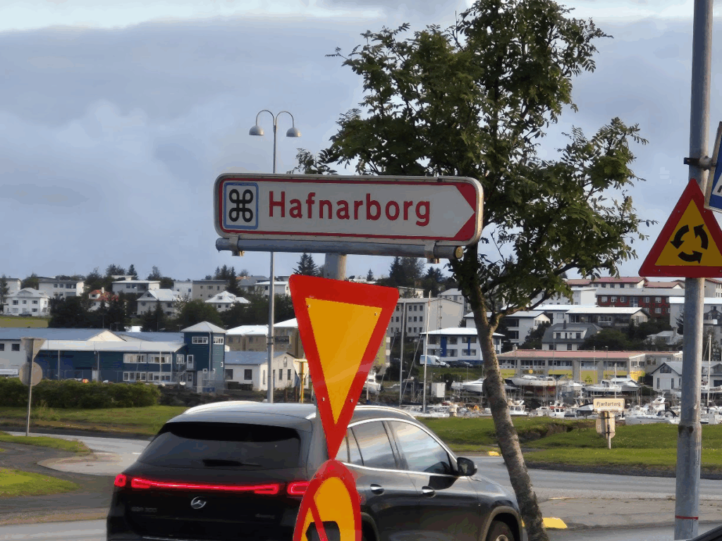
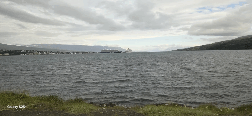
We had dinner at Subway sandwiches in the town of Hafnarborg. It had a small harbor with a lot of cruise ships.
We got back to our hotel in Reykjavik at around 10 pm, ready to start early the next day towards the Golden Circle tour of Iceland.
Day 3: Monday, Aug 4: Golden Circle Highlights
We started the day early at around 8 am with a plan to visit the Golden Circle route near Reykjavik. Early breakfast at a local bakery was the routine.

The Golden Circle is a tourist route in southern Iceland, covering about 300 kilometres (190 mi) looping from Reykjavík into the southern uplands of Iceland and back. It is the area that contains most tours and travel-related activities in Iceland. The term for the “Golden Circle” was a marketing tactic developed by the Icelandic Tourism board in the 1980s to improve travel and tourism.

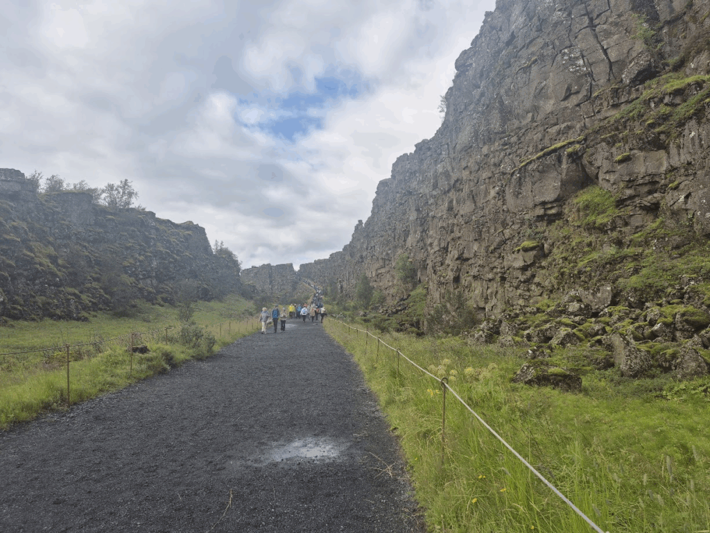
We started off by driving to the Thingvellir National Park. The park lies in a rift valley that marks the crest of the Mid-Atlantic Ridge and the boundary between the North American and Eurasian tectonic plates. To its south lies Thingvallavatn, the largest natural lake in Iceland.
The road leading up to Thingvellir was very pretty.


We parked at the Thingvellir visitor center.


We continued driving towards the Bruarfoss waterfall. The scenery along the way was magnificent. Trees in Iceland are often very short because of the underlying permafrost below the soil and the harsh climate. The only tall trees are the ones that are deliberately planted by people to mark the boundaries of their property.


We proceeded to our next destination, the Bruarfoss Waterfall. It is a small but mighty waterfall in South Iceland. It is known for the amazing color of its waters, which may appear bright blue, turquoise, or azure depending on the weather and time of year.


Strokkur Geysir is an important stop on the Golden Circle route. Strokkur erupts every five to ten minutes, shooting boiling water 50 to 65 feet (15 to 20 meters) into the air, and sometimes reaching up to 131 feet (40 meters). It is a very popular attraction.


We had great vegetarian food at the Strokkur Geysir Visitor center, potatoes, veggies and rice. Vegetarian options were limited but always available. When we got some healthy vegetarian food, we always overate.

As we drove towards Gulfoss (“foss” means waterfall), we were treated to the most stunning sights.


Gullfoss (“Golden Falls”) is a waterfall located in the canyon of the Hvítá river in southwest Iceland. It is one of the most popular tourist attractions in the country, and is included in “Golden Circle“. With lots of glacial water, there are many such waterfalls in Iceland.


Our next stop along the Golden Circle route was the Kerid crater formed about 6,000 years ago. It is a volcanic crater lake located in the Grímsnes area in south Iceland, along the Golden Circle. It is one of several crater lakes in the area, known as Iceland’s Western Volcanic Zone. It is elliptical, measuring approximately 55 m (180 ft) deep, 170 m (560 ft) wide, and 270 m (890 ft) across.


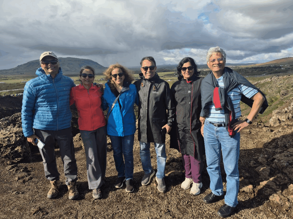
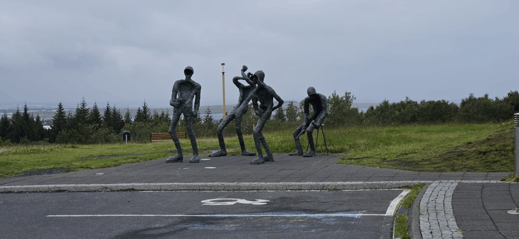
We did a circuit walk around the crater. The ladies in the group got a little playful and decided to have some fun. We took pictures of them prancing along.

Our final stop for the day was the Skogafoss waterfall. It was not listed as a major sight, but it turned out to be quite stunning.


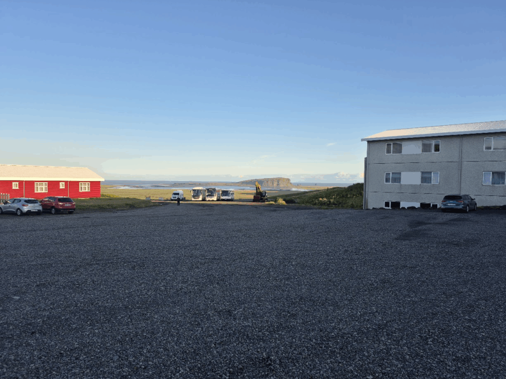
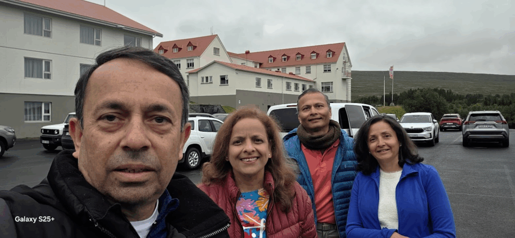
At around 8.30 pm, we checked into our Hotel Dyrholaey near a city called Vik. The hotel was excellent. Accommodations in Iceland were generally expensive, about $350-400 per night. But the quality of the accommodations was very good.

We had dinner at The Soup Place in Vik. It turned out to be an excellent choice. The soups and wraps were delicious.

We got back at around 10 pm, an end to a very satisfying trip to the Golden Circle area of Iceland.
Day 4: Tuesday, Aug 5: Southern and Eastern Iceland
We started our day early at 8 am driving in southern Iceland. We were greeted by great views of the mountains, cliffs and the coastline. Highway 1 that goes around Iceland is well kept with maximum speed of 100 kmph (about 65 mph), so driving was a pleasure

We encountered numerous waterfalls as we drove. At one point, we decided not to stop for any more waterfalls 🙂

Our destination was the Vatnajokull Glacier (“jokull” means glacier in Icelandic). Vatnajökull (“Glacier of Lakes”; sometimes translated as Vatna Glacier in English) is the largest and most voluminous ice cap in Iceland, and the second largest in area in Europe after the Severny Island ice cap of Russia It is in the south-east of the island, covering approximately 10% of the country. We started seeing glimpses of this vast glacier.


We eventually reached our destination the Jokulsarlon (“glacial river lagoon”) is a large glacial lake in southern part of Vatnajökull National Park, Iceland. Situated at the head of the Breiðamerkurjökull glacier, it developed into a lake after the glacier started receding in the late 19th century. We took a boat ride in the lagoon in an amphibian boat. It rode on land on wheels and became a boat as it hit the water surface.


Ice that calves from the glacier falls into the lagoon forming icebergs. We saw some really interesting patterns.


After our boat ride, we walked along the channel that connects the lagoon to the sea towards Diamond Beach.


We walked to Diamond beach and it was our first time seeing ice on a beach. A unique experience!


The boat ride and the walk to Diamond beach was followed by a delicious veggie burger + fries lunch. The average cost of a meal in Iceland was about $25 per person.

As we drove east, we were greeted with lovely views of Southern Iceland. Highway 1 traced the contours of the rugged South Iceland coastline.


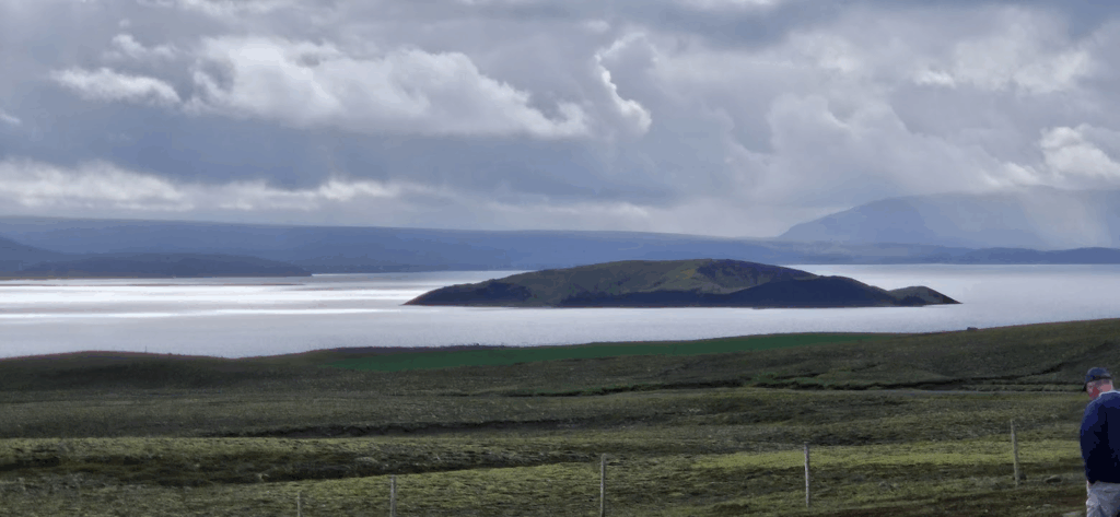
We also encountered lakes along the way.


We stopped at a boutique cafe called Bragdavellir Barn Restaurant. It was a cattle farming family that had been in the area since the 1960s and it had turned its property into a cafe in 2018. They were very friendly. We had a great time.


The path then headed north where we had to travel on gravel road for almost 30 km. Though the road was not tarred, it was an ok, not terribly uncomfortable. We were just worried if our old Mercedes van would be able to make that distance. There was also a lot of climbing along the road.
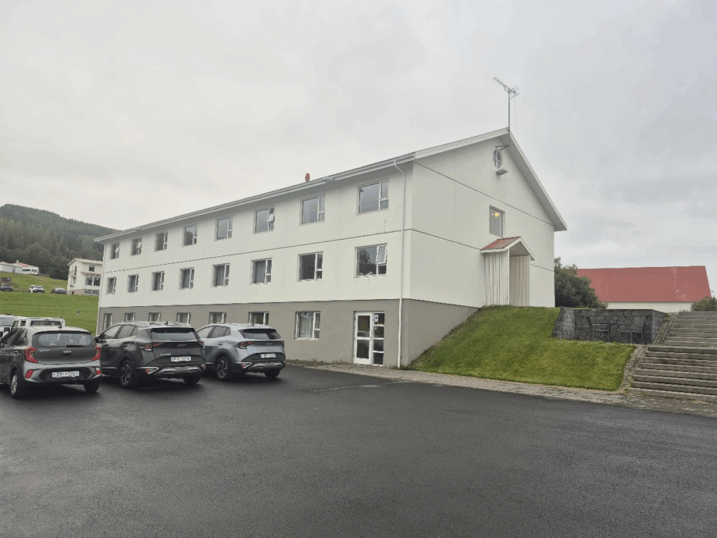
We finally made it to Hotel Hallormsstadur, our destination at around 7 pm. The views from the rooms were stunning. We could see the lake.

The hotel had a jacuzzi, so we decided to soak a little in hot water. It was a relaxing experience.


In the evening, we ate the dried Indian food (palak paneer, dal makhni, aloo sabji) that Maithili and Ashwini had brought from India.
Day 5: Wed, Aug 6: Eastern and Northern Iceland, Whale Watching
We started our day a little late, leaving at 9 am from Hotel Hallormsstradur.
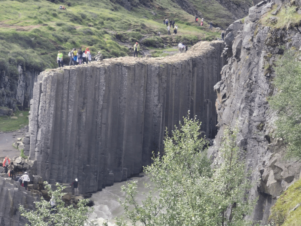
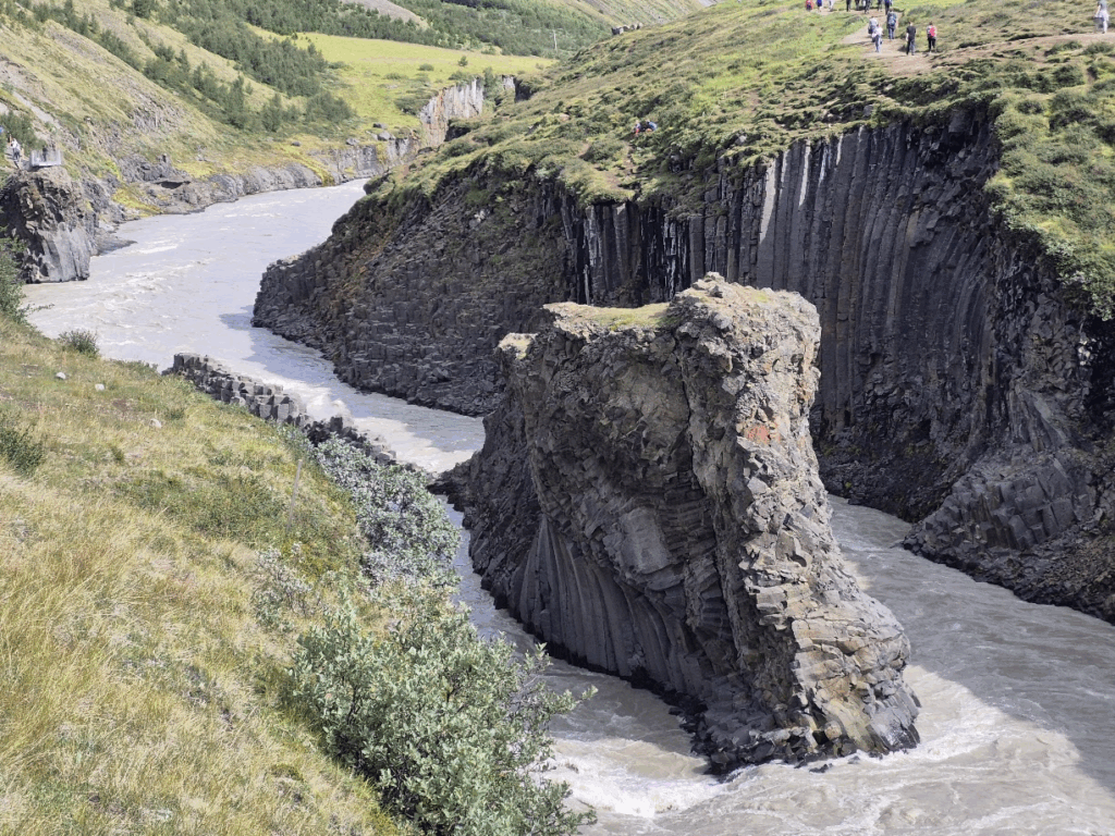
Our first stop was the Studlagil Canyon, a basalt rock formation located in Jokuldalur Valley in East Iceland. It was discovered in 2009 after a hydroelectric project lowered the water level of the Jokulsa a Dal River, exposing the distinctive walls. The canyon is notable for its basalt cliffs and, during certain times of year, a vivid blue glacial river that flows through it.


We initially drove to a different location where we would have had to do almost a 10 km hike. Instead, we retraced our path and drove to a location along Highway 1 where there was a Studlagil Canyon Viewpoint. We saw the canyon from that point.
Dettifoss waterfall is located in Northeast Iceland is is reputed to be the second most powerful waterfall in Europe after the Rhine Falls.


Close to the Dettifoss waterfall is also the Selfoss waterfall. We got a quick glimpse of the Selfoss waterfall from the path to the Dettifoss waterfall.

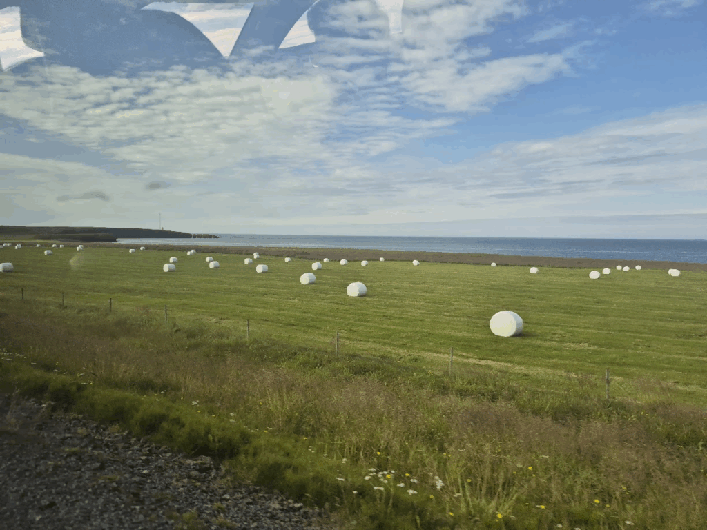
As we drove towards Husavik, we saw farms with bales of hay wrapped neatly in white covers. We saw these all over Iceland, probably a way of storing hay in winter for the cattle.
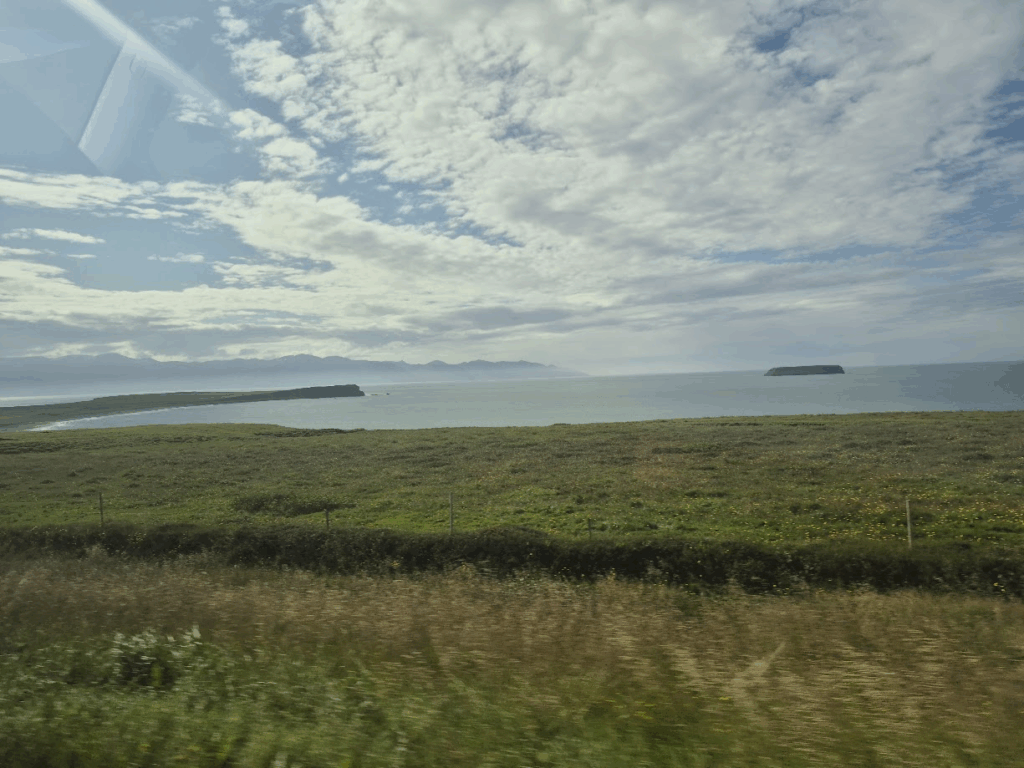
The coastline of Iceland remained as enchanting as ever.
We reached Husavik around 4 pm, ready for our whale watching tour in Husavik at 5 pm. We waited for our boat “Sylvia” on the docks of Husavik harbor. We had booked with an agency called Gentle Giants.

Husavik harbor is quite pretty.

We put on some warm clothing to protect against the cold as we explored the northern Iceland seas. This suit was also supposed to keep us afloat if we ever fell into the water.

The whale watching tour was amazing. We had a great view from the whale watching boat.

We had nearly 50 sightings of whales. When whales are coming to the surface, they drive large schools of fish forward. Birds flock to eat those fish. Hence, look for a large bird flock is the best way to predict where the whale is likely to surface.


Husavik is a beautiful little town. We finished the whale watching tour and ate dinner at Nesti, a rest area next to N1 gas stations. It had pizzas, sandwiches, falafel and other items.
We checked into our Hotel Laugar at around 9.00 pm. It was a really nice hotel. It was the end of a satisfying day.
Day 6: Thursday, Aug 7: North and West Iceland, Glacier Cave
This was the final driving day of our Iceland trip. We had a long drive ahead of us, almost 700 km. We started the day early with breakfast at 7.00 am.
Our destination for the day was the Walk deep into the Langjokull glacier at Husafell in Western Iceland. The drive was extremely beautiful with winding roads and an occasional view of the coastline or fjords.

The skies continued to favor us. Very little rain bothered us.


Due to the lack of forest with tall trees, the scenery looked endless.

While it was a long drive, driving itself was a pleasure. Great road, fantastic scenery!


We also saw some cruise ships in the fjord.
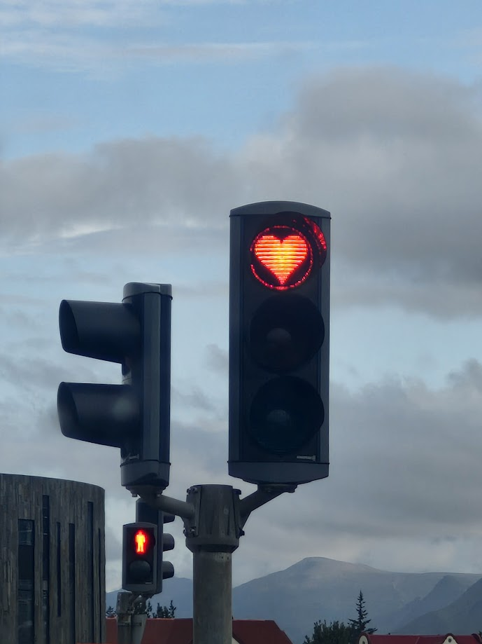
We also saw an innovative red light sign on the road that brought a smile to our faces.
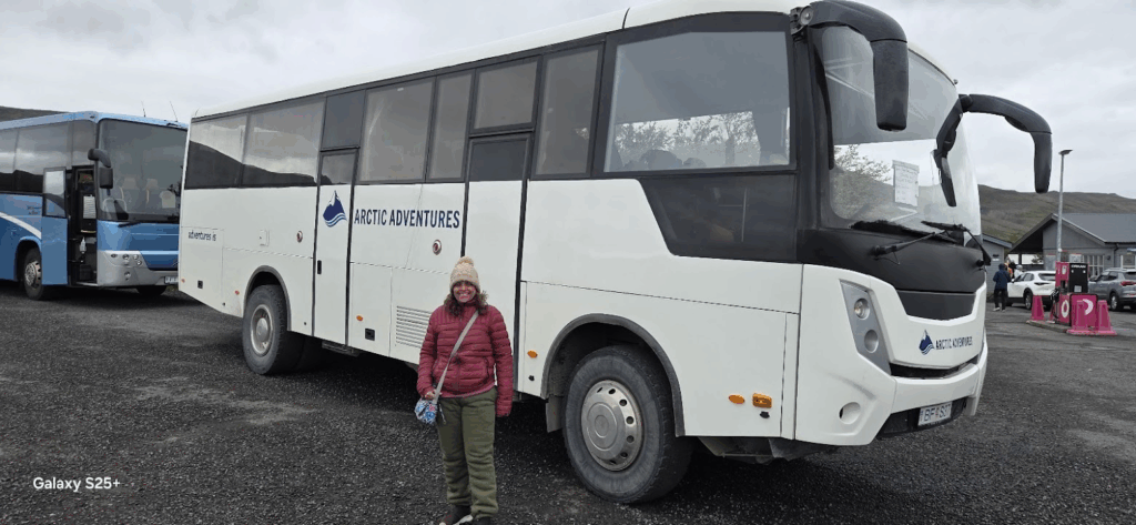
We reached the Husafell Visitor Center at 2.15 pm. We checked in for our Glacier tour. We were taken to the Langjokull Glacier basecamp at Klaki in a bus. Langjökull (“long glacier”) is the second largest ice cap in Iceland (870 sq. km) after Vatnajokull
At Klaki basecamp, we were given warm, waterproof clothing and covers for our shoes.

We were transported to the Langjokull glacier in these monster ice trucks.

At the glacier, we got ready for going into a cave dug deep into the glacier.

Anu and I have been on top of a glacier before, but never deep inside one. This tour took us 20-40 meters below the glacier surface, a truly unique experience.


We got an opportunity to witness closely the large crevasses that form inside the glacier due to the push and pull of ice.

Digging into the glacier requires a lot of technical skill, with a focus on safety. They had put reinforced pipes to secure the cave after digging into the glacier

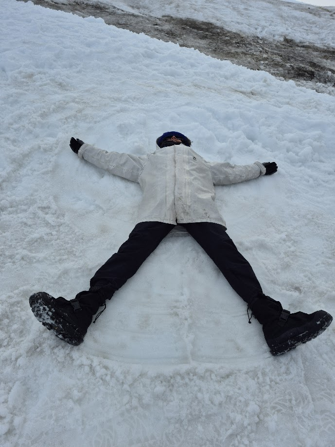
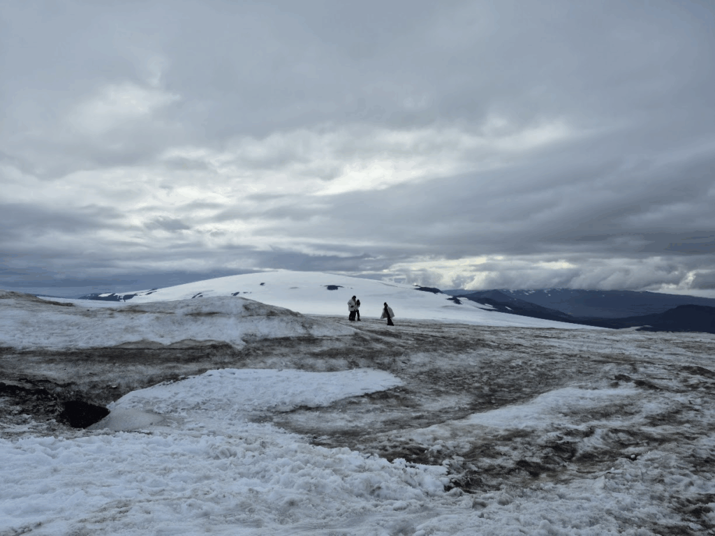
After we got back outside, we had some fun in the snow.

We bid adieu to the Langjokull glacier, having experienced some truly unique, going deep inside the glacier.
We finished the tour around 7 pm and drove from Husafell to Keflavik Airport. It was a 2.30 hour drive. We saw a great sunset on the way.

We reached around 10 pm and stayed in service apartments near Keflavik airport.
Day 7: Friday, Aug 8: Flight from Iceland to Norway
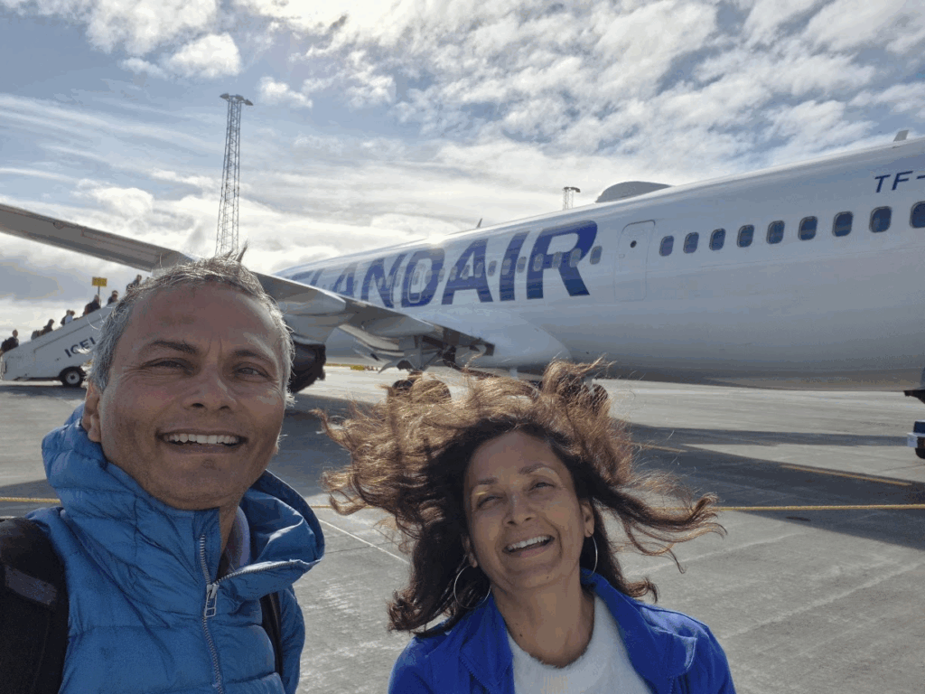
We had a flight at 9.25 am from Keflavik International Airport to Bergen, Norway on Iceland Air. We returned the car rental at Icerental 4×4.
We had great breakfast at Keflavik airport, thanks to Priority Pass.
As Bhagwats, Aptes and us, Palnitkars said goodbye to Iceland, we were filled with memories of our wonderful 6 day trip, having experienced the land of ice and fire, volcanoes, glaciers, whale watching, waterfalls, coastline views and much more.


