

July 25 to August 1, 2025
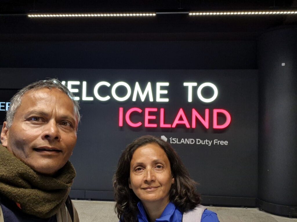
Day 1: Iceland Stopover Before Greenland (July 25)
Our adventure en route to Greenland began with an unplanned, yet enriching layover in Iceland. We flew Play Air—a budget airline that surprised us with its clockwork efficiency—from Washington DC, landing at Keflavik Airport at 4:45 am.
With almost 12 hours before our evening flight to Greenland, the obvious choice was to turn transit into a mini-adventure.

We got a Hyundai i20 with manual stick shift gears instead of an automatic.
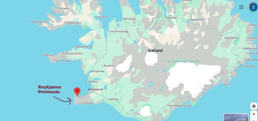
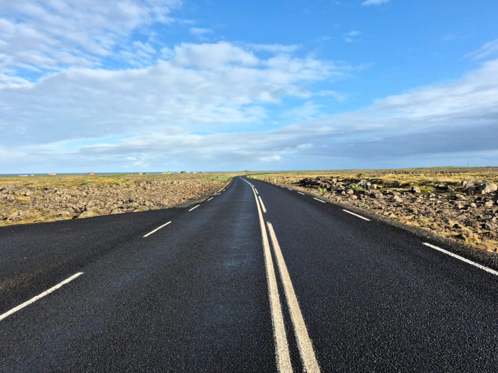
We embraced the opportunity to explore the Reykjanes Peninsula. It’s a land shaped by fire and ice, with volcanic rock stretching to the horizon.
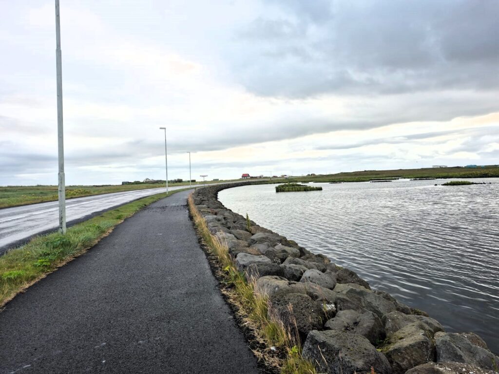
We passed sleepy towns like Garður (north of Keflavik) and Sandgerdi (west of Keflavik) just waking up, their streets empty, their charm untouched by tourism.

At the Bridge Between Continents, we stood with one foot on the North American tectonic plate and the other on the Eurasian—an unexpectedly humbling moment.
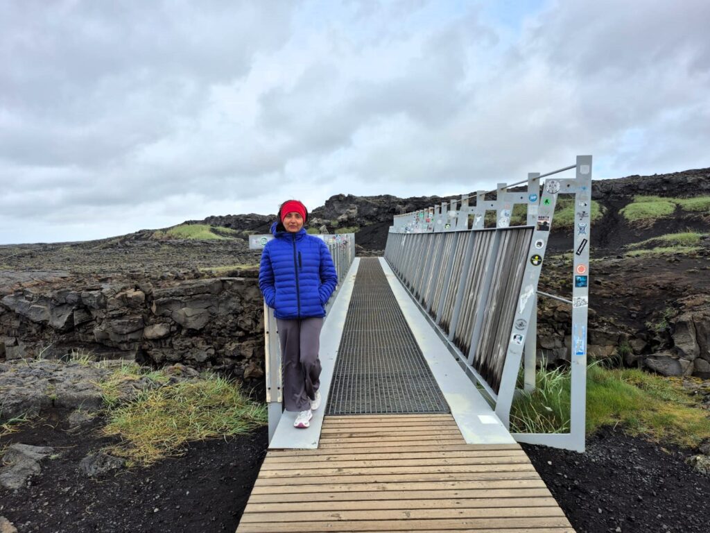
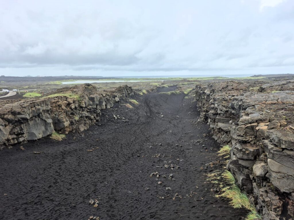
Iceland physically embodies the slow pull of our drifting world; the plates are drifting apart at the rate of 2 cm per year.
Standing at the Bridge Between Continents was more than just a fun photo-op — it was like standing at the frontier of Earth’s restless geology. On one side lay the North American plate, slowly drifting west. On the other, the Eurasian plate, Earth’s largest continental plate, carrying with it some of the oldest rocks in existence, like those found in Siberia’s vast plains.
The two plates are moving apart, widening the Atlantic Ocean bit by bit — just a few centimeters each year, but relentless all the same. The ripple effects are global. In the east, the Pacific and Philippine plates dive beneath the Eurasian plate, forming chains of fiery volcanic islands. To the south, the Indian and Australian plates collide into Eurasia, thrusting up the mighty Himalayas — the highest mountain range on Earth.
It’s also humbling to think that nearly 75% of humanity lives on the Eurasian plate — from Europe to India, from China to Southeast Asia. Tokyo, the most densely populated city on this plate, is home to over 35 million people. At the same time, Eurasia also holds Earth’s extremes: Mount Everest, soaring 8,850 meters above sea level, and the Galathea Depth, plunging 10,540 meters below.
All of this context makes the experience surreal: to straddle that short metal bridge in Iceland is to stand with one foot in North America and one in Eurasia, connecting continents, histories, and futures with every step.

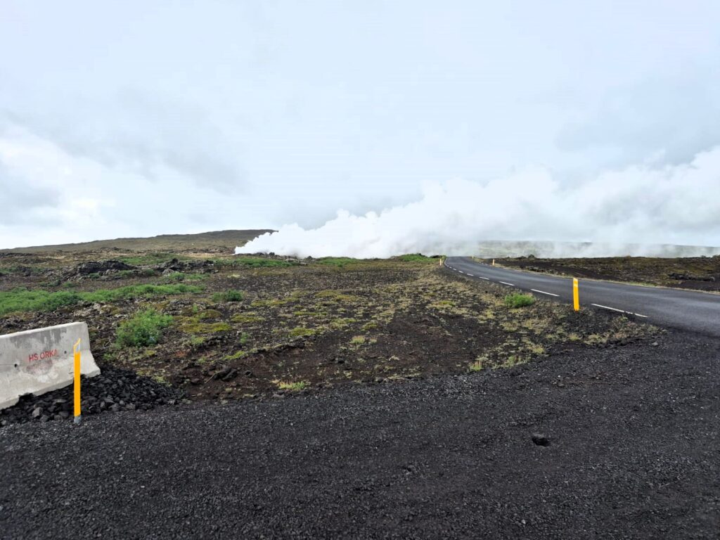
Driving toward the Reykjanesviti Lighthouse, we were suddenly engulfed in rising geothermal steam—a silent, eerie reminder of the energy bubbling just beneath the earth’s surface.
The view from the lighthouse: jagged rocks, infinite sea, and a fierce, unyielding beauty.
The Reykjanesviti Lighthouse, which we admired against its backdrop of rugged rocky shores, has quite a story. It wasn’t the first lighthouse built in Iceland, though — the original stood on Valahnúkur mountain in 1878. That structure, however, was short-lived: an earthquake in 1887 caused massive rockfalls, damaging the tower so badly that it became unsafe to use. By 1905, erosion and repeated tremors made it clear it wouldn’t survive much longer. Finally, in 1908, the old lighthouse was demolished, and Reykjanesviti — the elegant white beacon we see today — was constructed nearby.
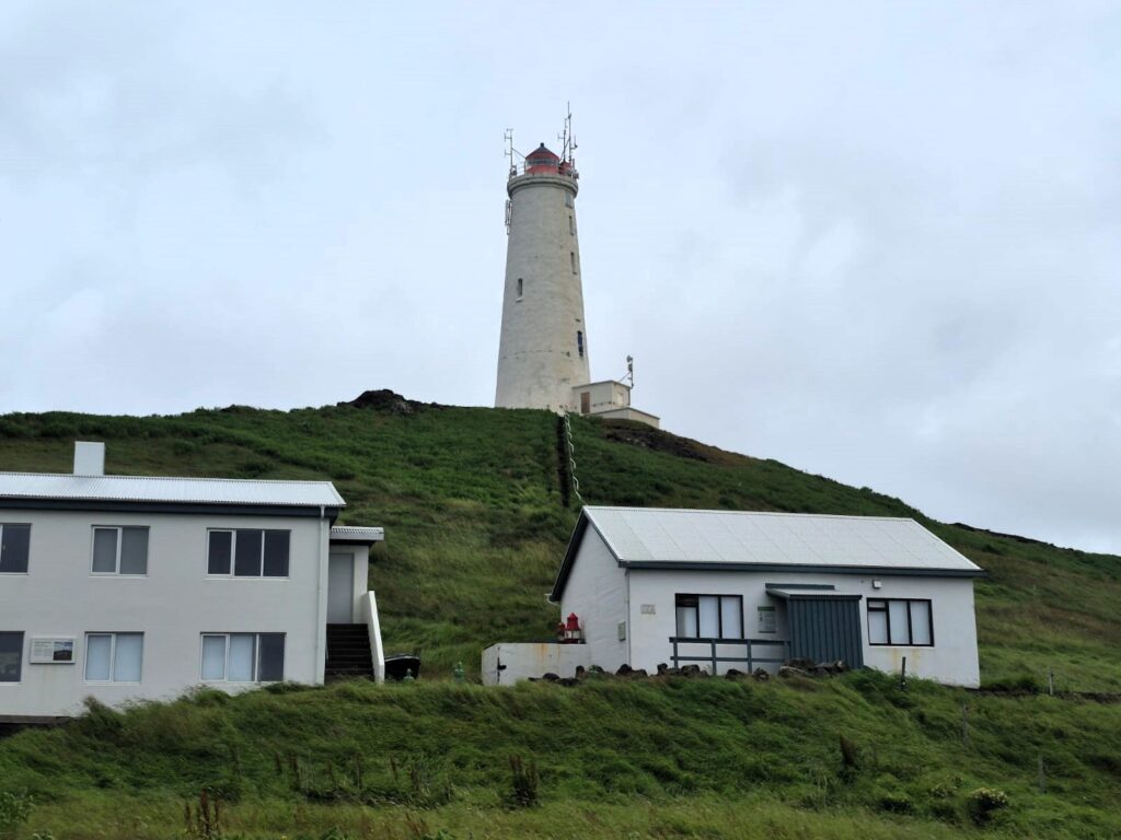
Standing there, with waves crashing below and seabirds circling overhead, it was easy to imagine how vital this light must have been for sailors braving the unforgiving Atlantic.
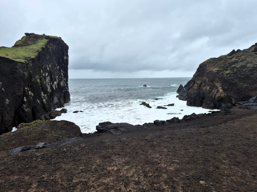
From the Reykjanes lighthouse, we continued driving to the Brimketill lava pools — natural formations on the coast that look almost like little swimming pools carved out of lava rock.
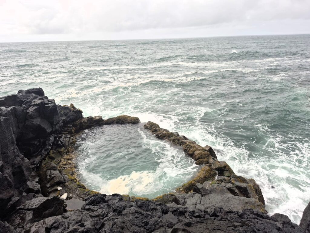
The waves crash violently into them, reminding you that nature created these pools, not for swimming, but as a dramatic display of volcanic power meeting the sea.
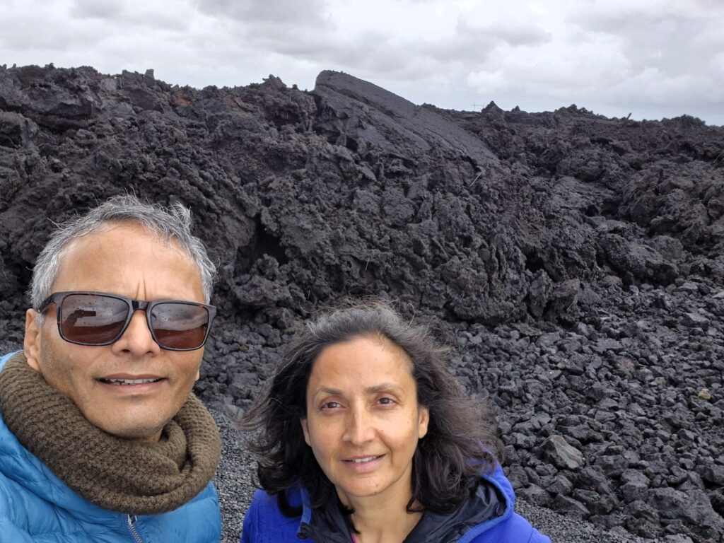
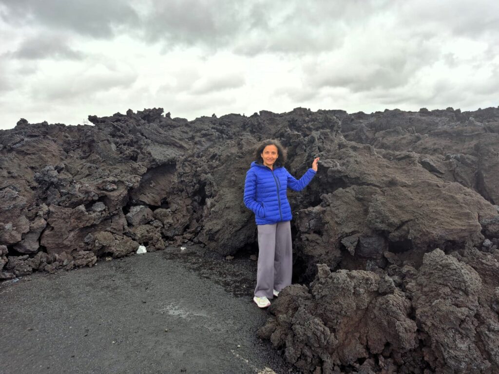
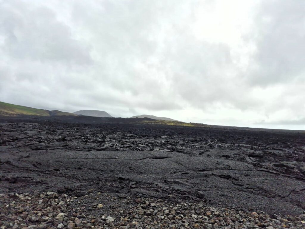
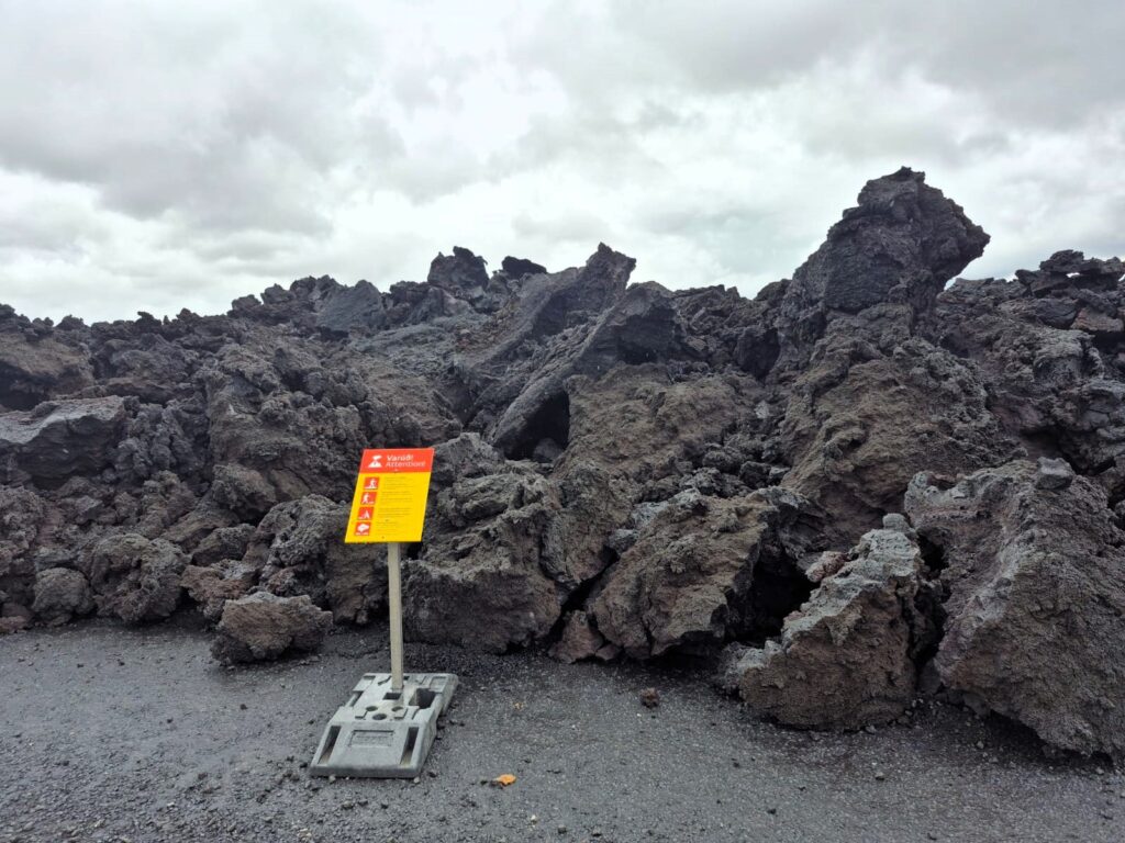
Further along, we passed through the Sundhnúkur area, north of Grindavík, where there have been recent volcanic eruptions. While we didn’t catch an eruption in action, the landscape said it all — vast black lava fields stretching endlessly, some still looking raw and fresh.
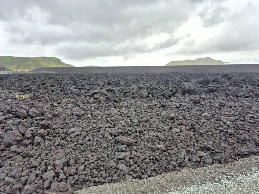
Roads here are constantly being destroyed by lava flows, only to be rebuilt again and again. It’s a reminder of how Icelanders live in constant negotiation with their land.
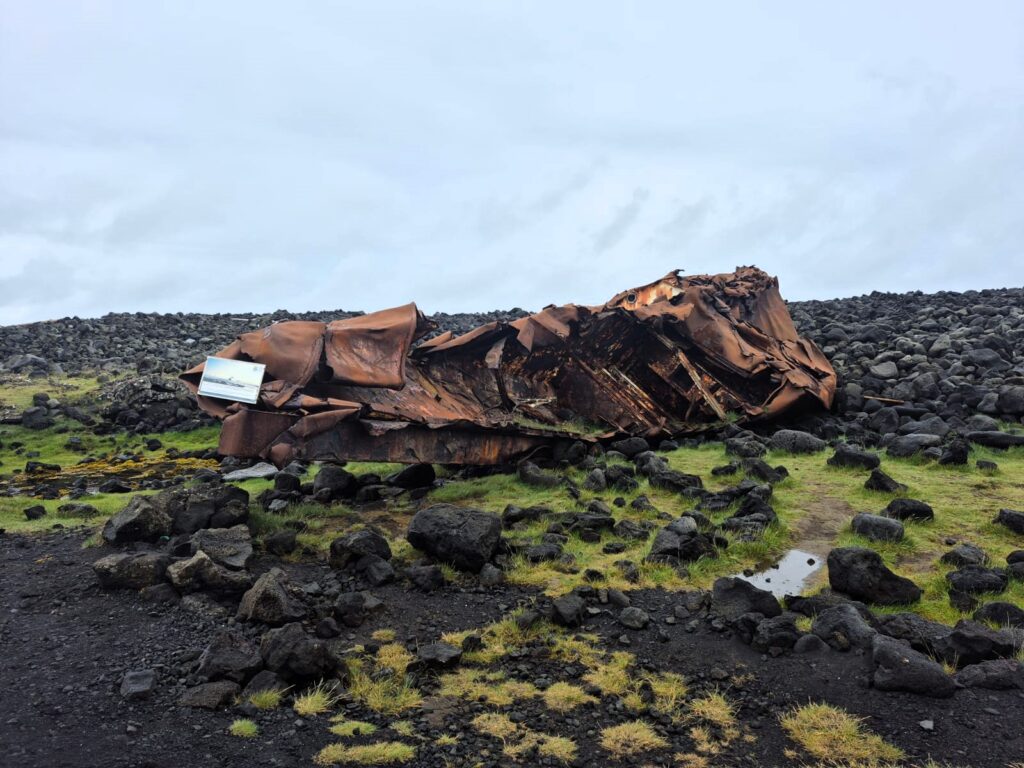
In Grindavík, we stopped at the Hrafn Sveinbjarnarson III shipwreck, dating back to the 1980s. Rusting on the shore, it’s a stark reminder of how unforgiving the Atlantic waters can be around Iceland’s coast.
The day’s highlight came next: the Fagradalsfjall volcano, an active volcano in southern Iceland. We hiked for almost an hour to reach the viewing point, and what awaited us was unforgettable — molten lava boiling inside the crater.
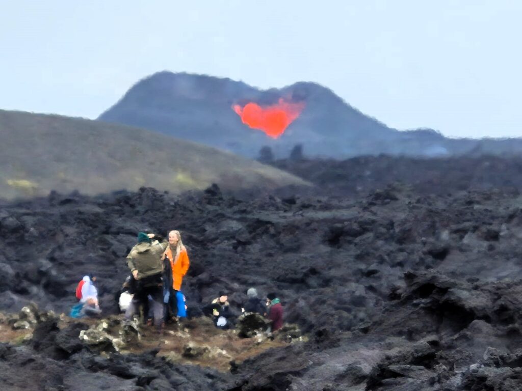
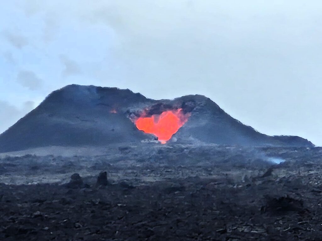
We’ve seen dormant craters before, but standing in front of an active volcano was in a different league altogether. The sight of that fiery, living earth will stay with me forever.
By mid-afternoon, we returned to the airport for our 6 p.m. flight to Greenland. But travel doesn’t always go to plan. At 4 p.m., an email landed: our Air Iceland flight was cancelled and rescheduled for the next day. Suddenly, we had lost a full day in Greenland. To make matters worse, we had to scramble for accommodation and ended up in Egilsborg Guest House, a cramped little hostel that cost us $350 a night because of the last-minute booking.
Let’s just say it wasn’t an experience I’d like to repeat.
Day 2: Reykjavik Wandering (July 26)
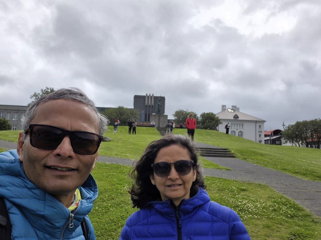
Grounded in Reykjavik for one more day, we decided to make the best of it. The city was calm and colorful, and we took to the streets with no plan except to wander.
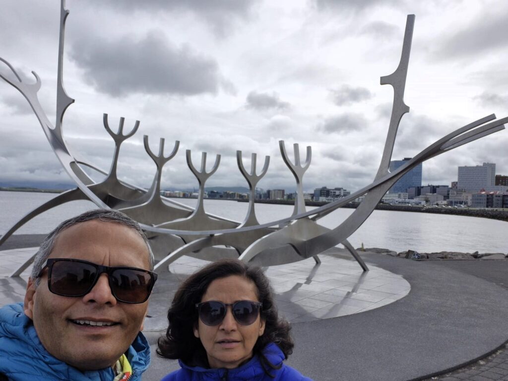
At the Sun Voyager sculpture, the artist intended it to convey the promise of undiscovered territory, a dream of hope, progress and freedom.
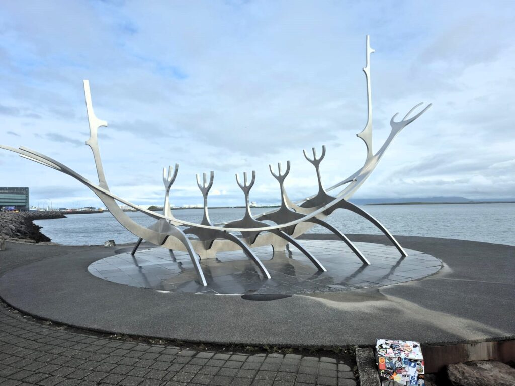
Designed by Jón Gunnar Árnason, the Sun Voyager sculpture looks like a gleaming steel Viking ship pointing out towards the sea. But it isn’t meant to represent an actual ship — instead, it’s a dreamboat, a symbol of discovery, hope, and the endless horizon. Standing there with the Atlantic stretching out ahead, it felt like an invitation to adventure — a perfect metaphor for our journey.
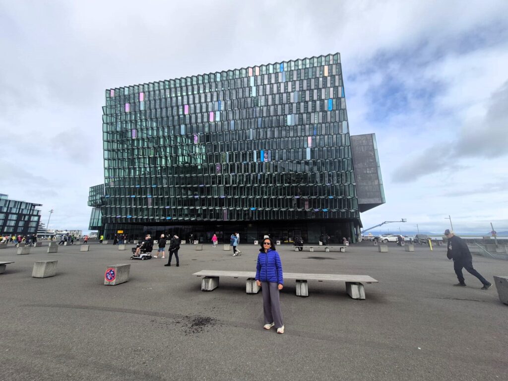
Harpa, with its honeycomb-like glass facade, struck a dramatic contrast with the harbour’s serenity.
Next, we admired Harpa Concert Hall, Reykjavik’s cultural centrepiece by the harbor.
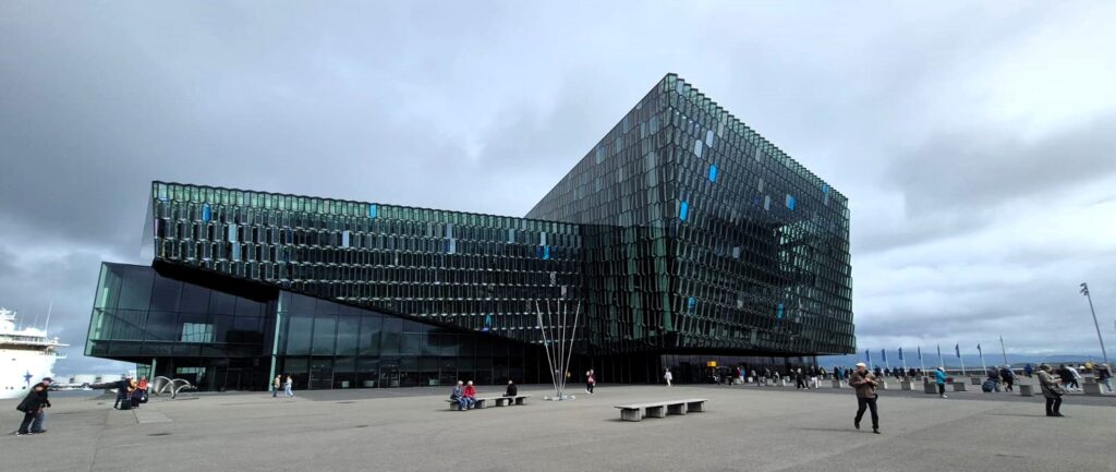
Its glass façade, designed to mimic Iceland’s basalt landscapes, shifts colors with the light, sparkling like the northern lights on a sunny day. Opened in 2011, Harpa isn’t just a concert venue — it’s also home to international conferences, art events, and a buzzing café scene.

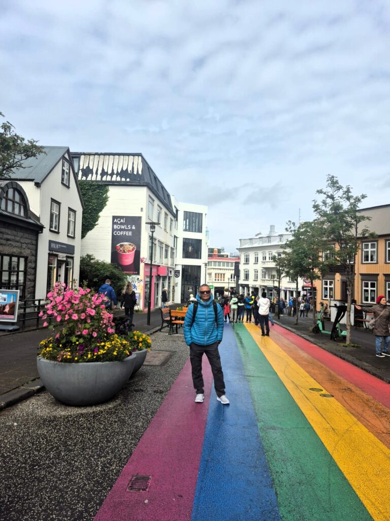
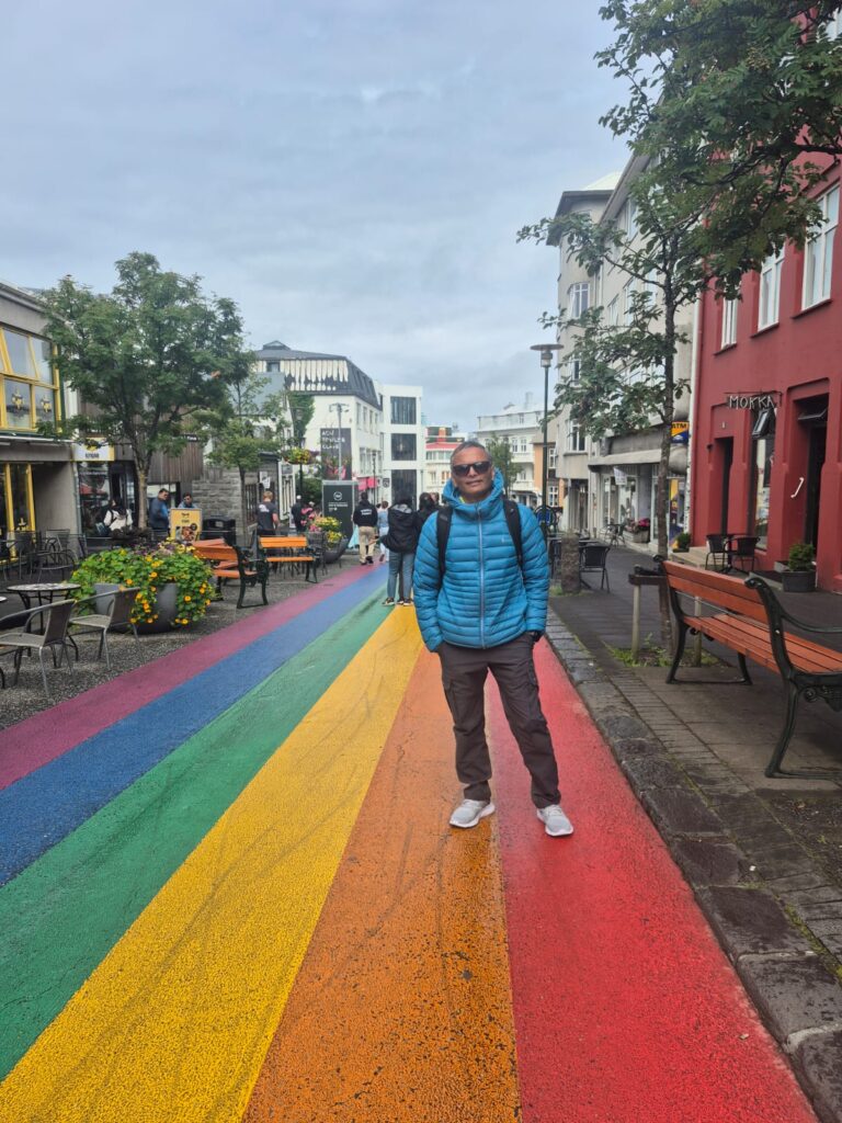
We then strolled down Rainbow Street, one of Reykjavik’s most cheerful spots. The colorful painted road, leading straight up to Hallgrimskirkja church, is lined with cozy cafés, souvenir shops, and boutiques. It’s a perfect place to browse, grab a bite, and soak up the city’s playful, creative vibe.
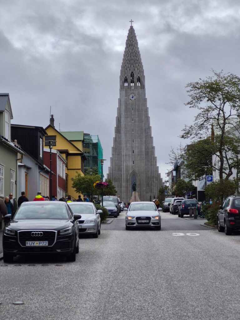
At 74.5 metres (244 ft) tall, Hallgrimskirkja is the largest church in Iceland and second-tallest structure in the country. Known for its distinctively curved spire and side wings, it has been described as having become an important symbol for Iceland’s national identity since its completion in 1986.
For all its modern Nordic charm, Reykjavik had a grounded, unpretentious soul.
Later that evening, we finally boarded our flight to Nuuk, Greenland. Through the window, we glimpsed the scattered white giants—icebergs floating below—foreshadowing the magic ahead.
Taxi from the airport to the Airbnb was about 165 Danish Kroner ($26). Taxis run by meter.
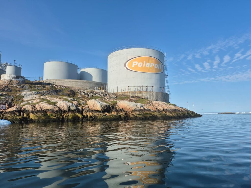
The taxi to our AirBnb cost 165 DKK (around $26)—reminding us that Greenland, while self-governing since 2009, still uses Danish currency. It’s part of a delicate balance: Greenland handles its own courts, police, and resource revenues—but Denmark still oversees foreign affairs and defense. It’s autonomy with a framework, a powerful reminder of how Greenland is writing its own story while still anchored to a larger realm.
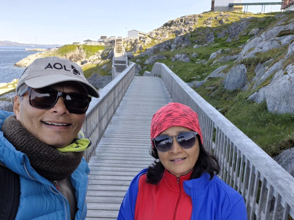
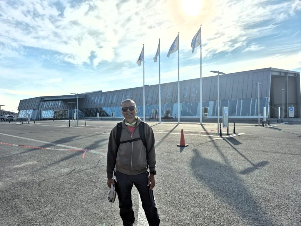
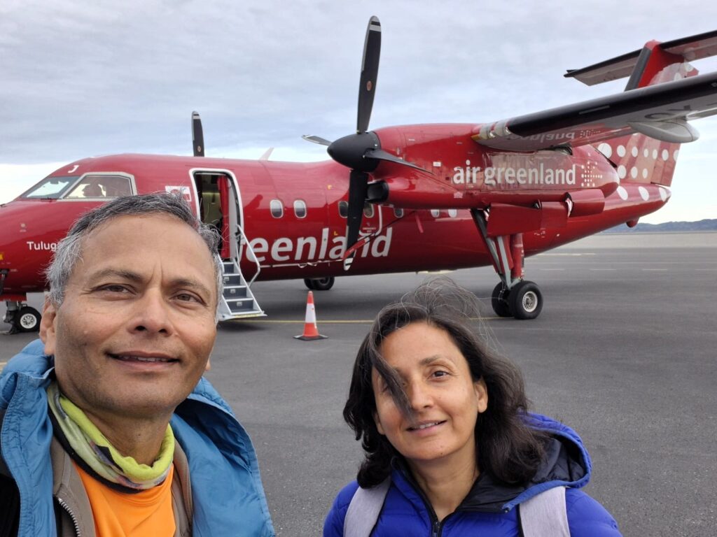
Day 3: Nuuk, Greenland (July 27)
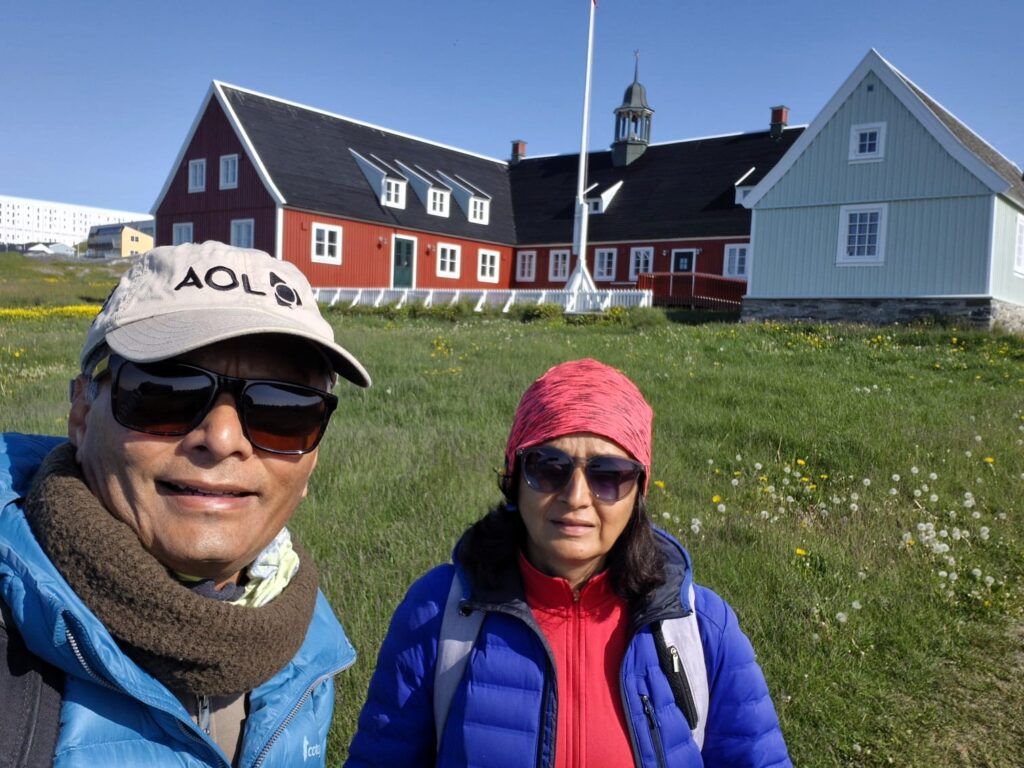
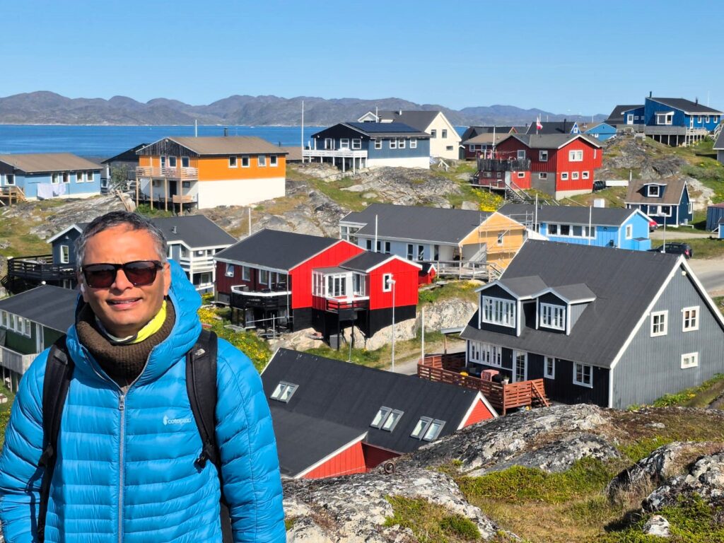
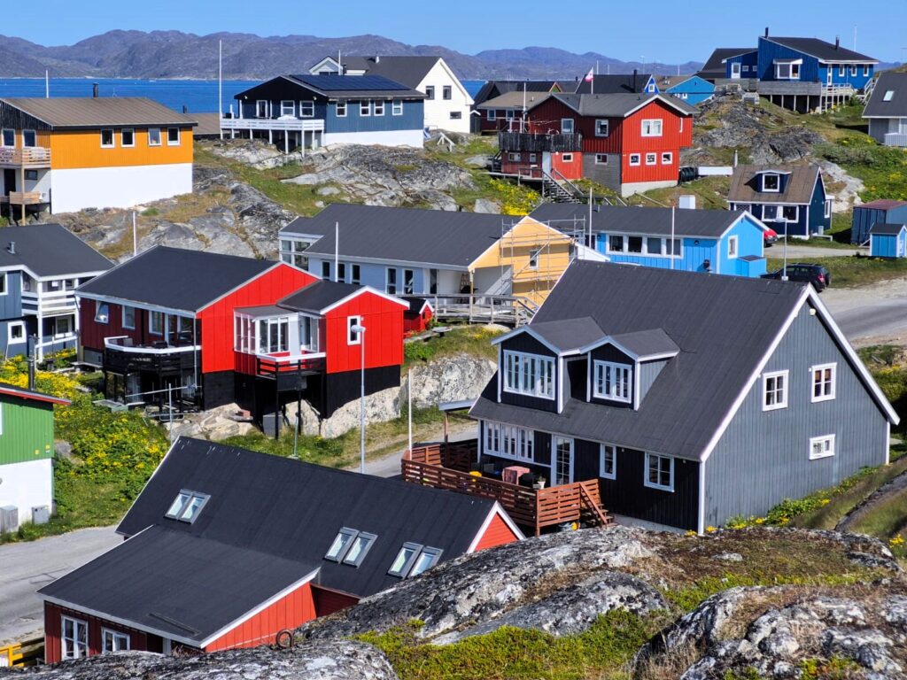
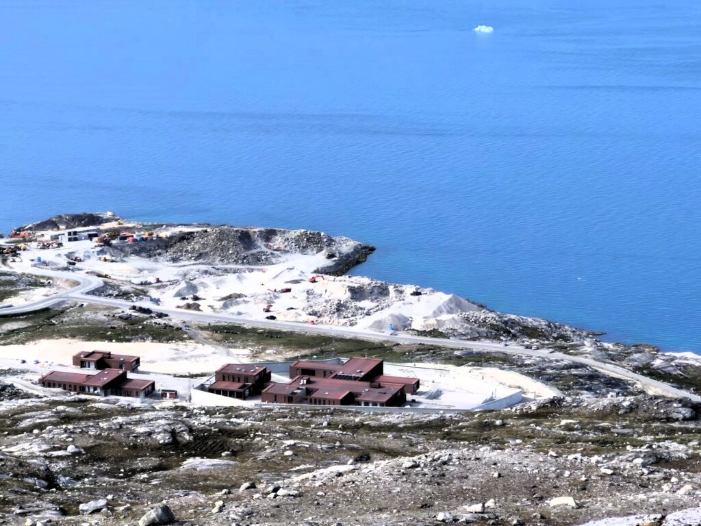
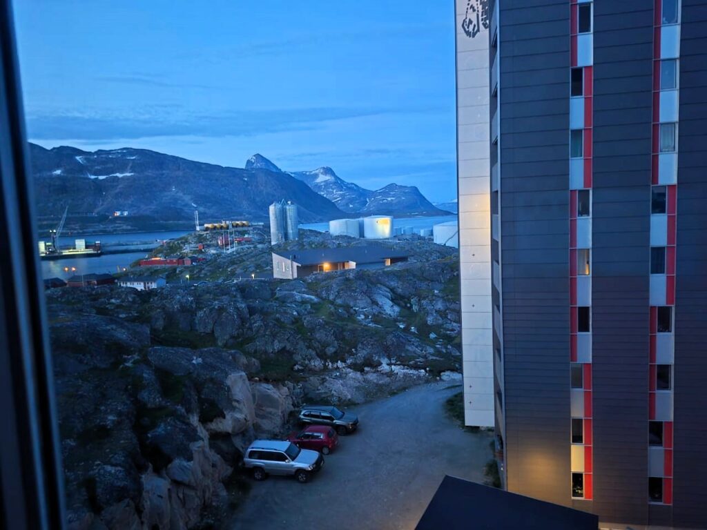
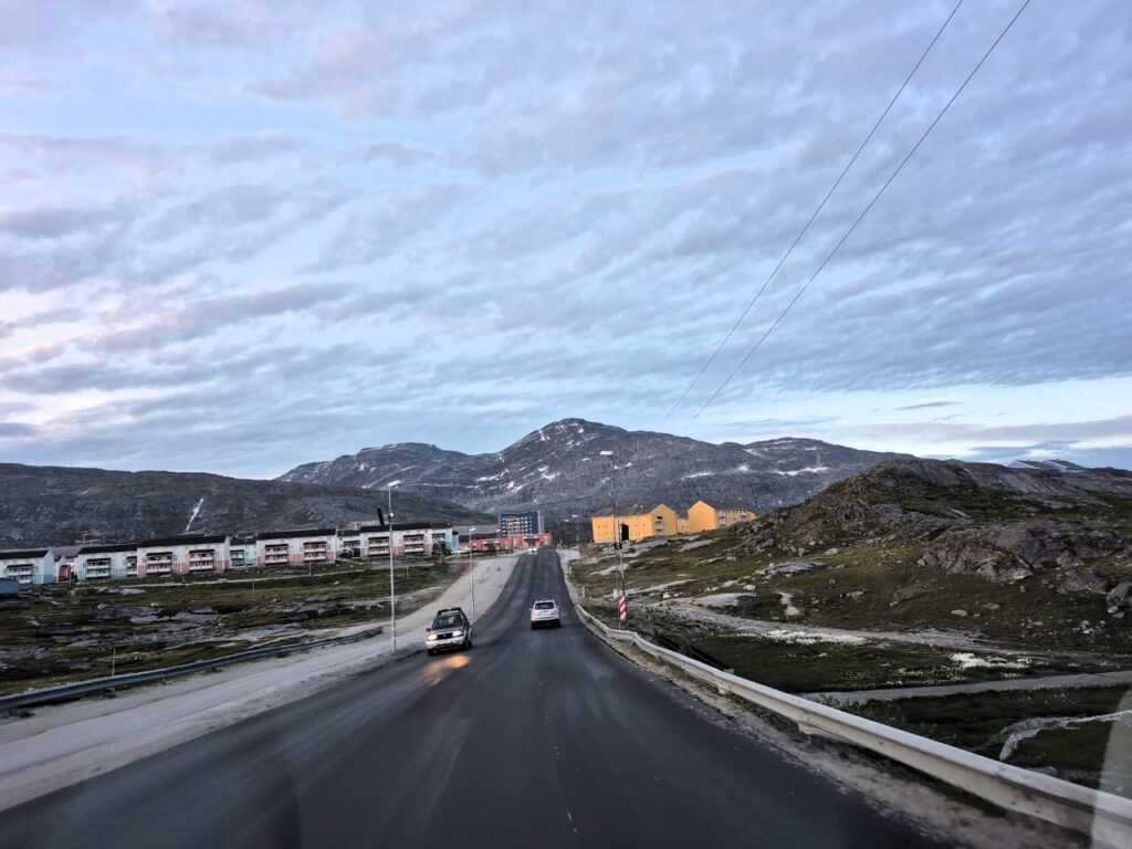
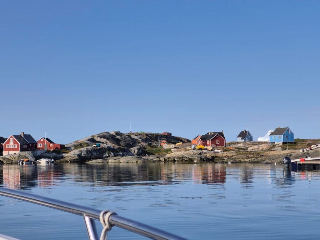
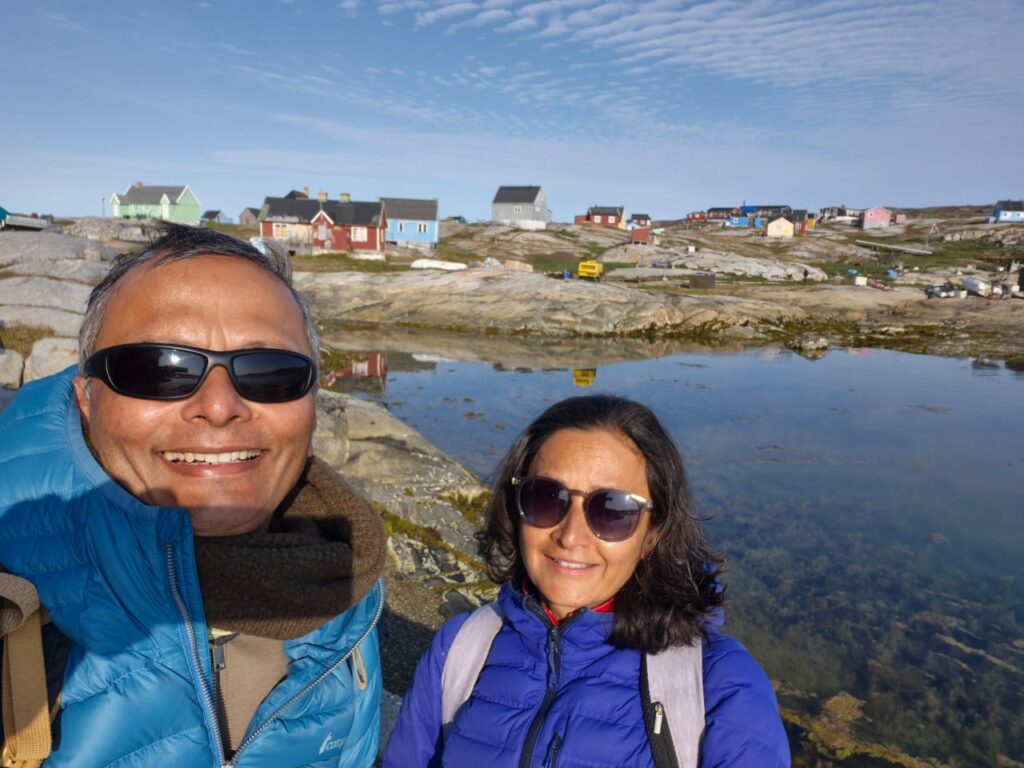
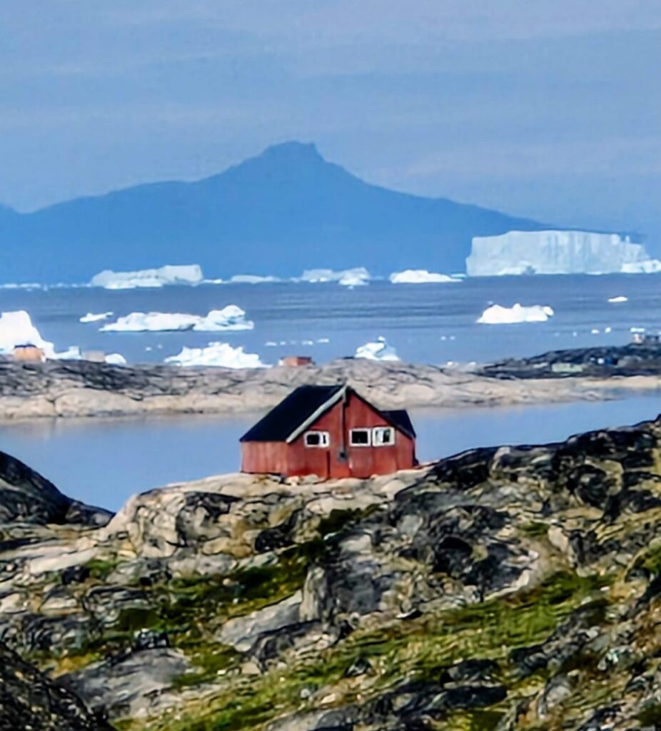
Landing in Nuuk felt like arriving on another planet. The capital of Greenland—with just 20,000 residents—welcomed us with clean, chilly air and a golden Arctic light that lingered well past midnight.
Our first stop in Nuuk was the Moravian Brethren Mission House, locally known as Herrnhut House (Herrnhuthuset). Built in 1747 from timber shipped all the way from the Netherlands, this simple wooden building became the beating heart of the Moravian mission in Greenland. For more than a century, missionaries worked from here, spreading Christianity and running activities along Greenland’s west coast.
What struck us most was the contrast—the building looks modest on the outside, yet history records that early Greenlandic converts would say: “If it can be so beautiful here on Earth, how wonderful must it not be in Heaven.”
Today, the house has taken on a very different role—it now serves as the office of the Ombudsman of Greenland, symbolically carrying forward its legacy of guidance and oversight, though in a modern civic sense rather than a religious one.
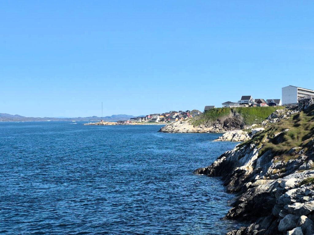
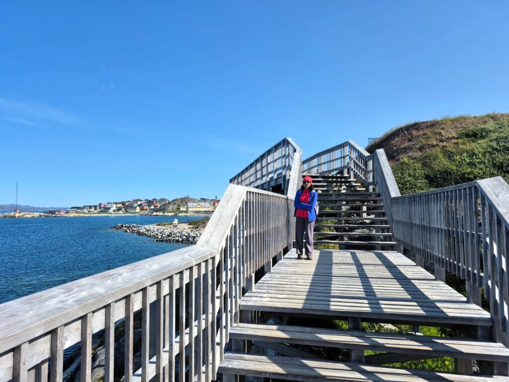
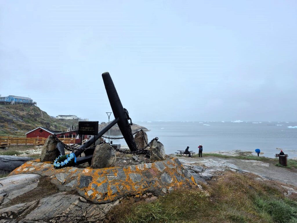
From there, we walked through the Colonial Harbor and onto Saqqarlit beach. Not a true beach in the tropical sense, it offered a quiet solitude. Locals were sparse, the streets calm.
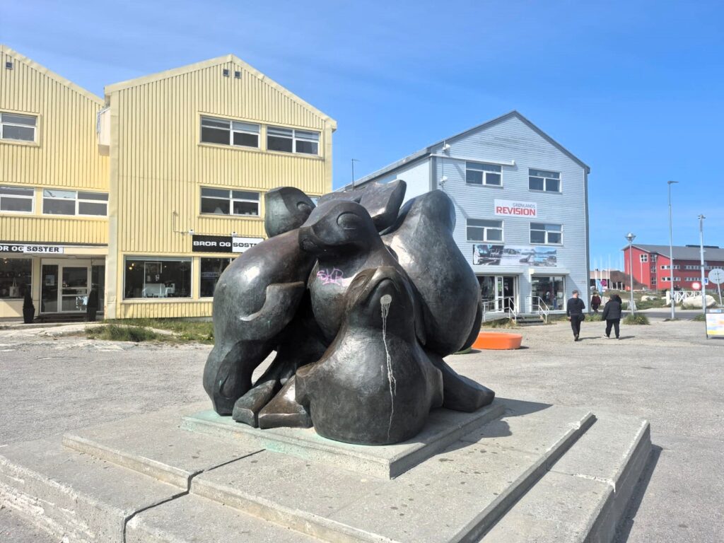
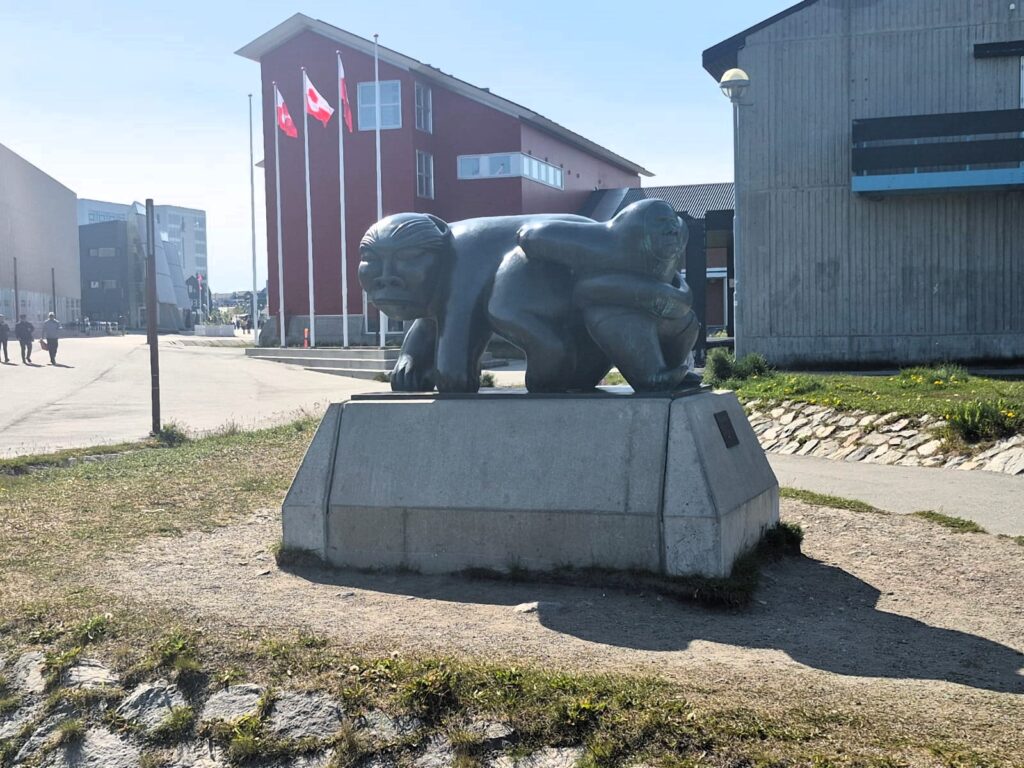
We encountered several sculptures—each a window into Inuit mythology and culture.
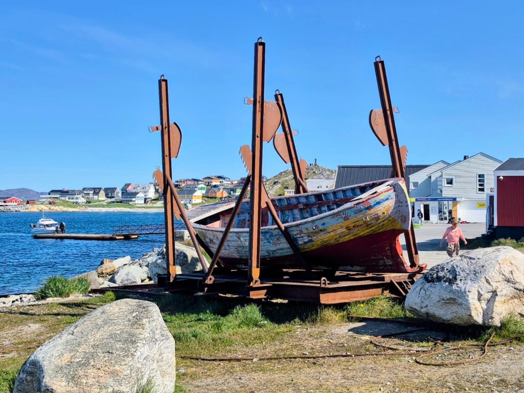
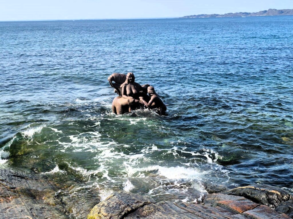
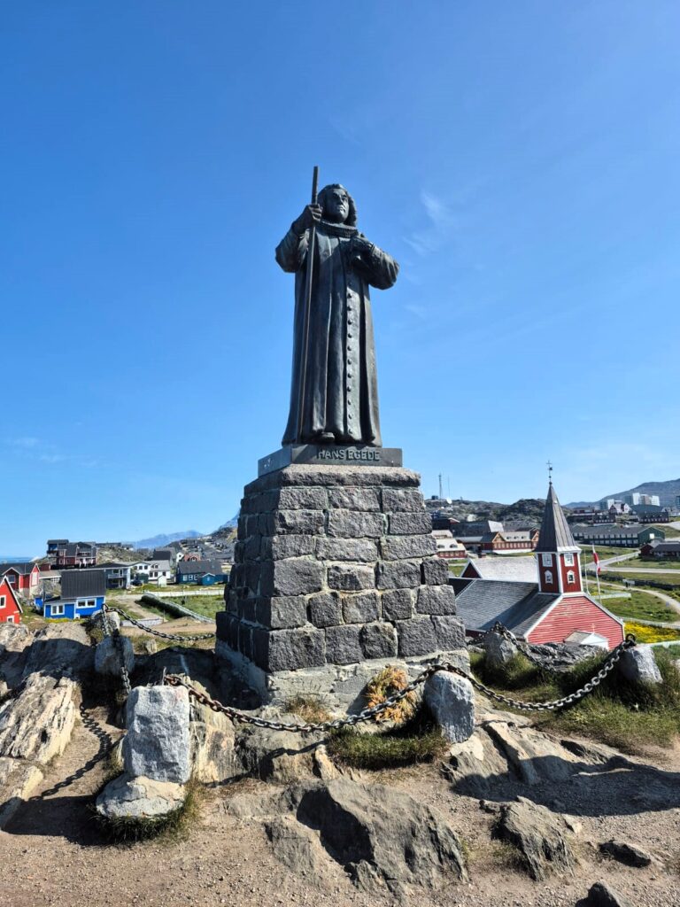
The “Mother of the Sea,” by Aka Høegh, depicts Sedna, goddess of the deep. The statue of Hans Egede, the Danish missionary who founded Nuuk in 1728, looks out over the city from a hilltop, with a view that could melt the hardest heart.
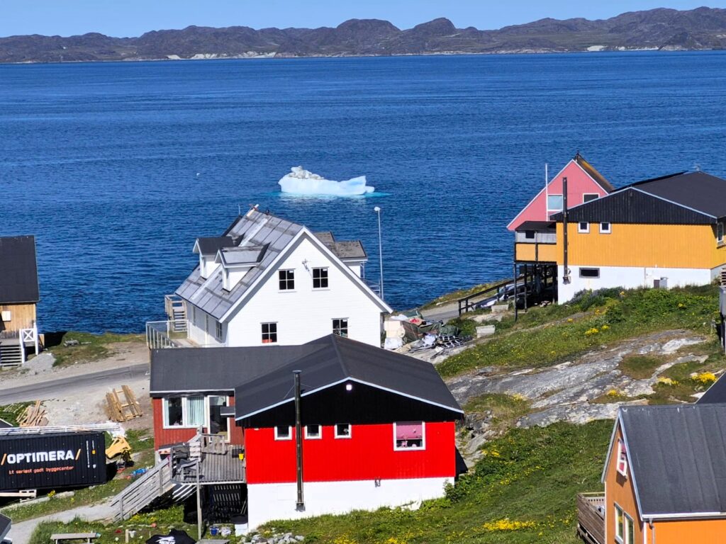
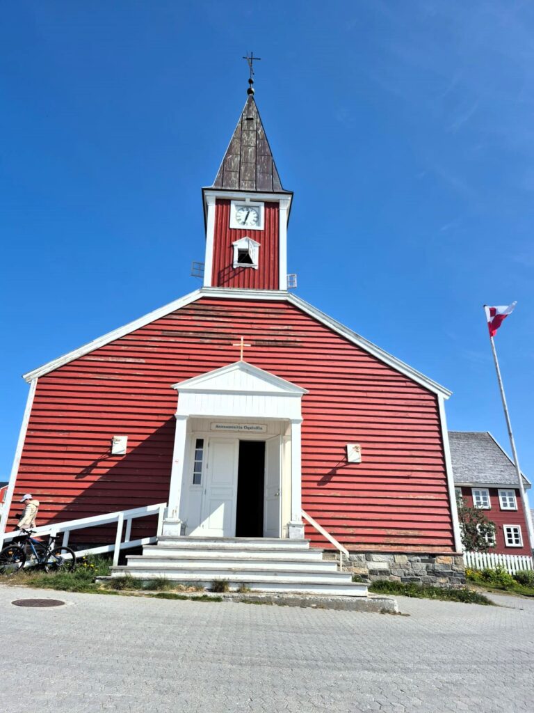
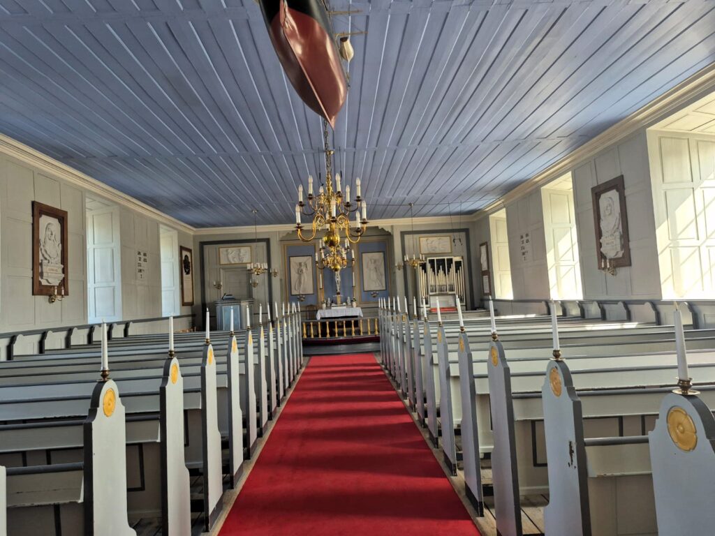
We then visited the Cathedral of Nuuk, a striking red wooden church with white trim that stands proudly near the Colonial Harbor. Built in 1849, it’s one of Greenland’s most recognizable landmarks. The simple Nordic design and peaceful surroundings made it a quiet spot to pause, offering beautiful views of the harbor and the colourful houses scattered along the hillside.
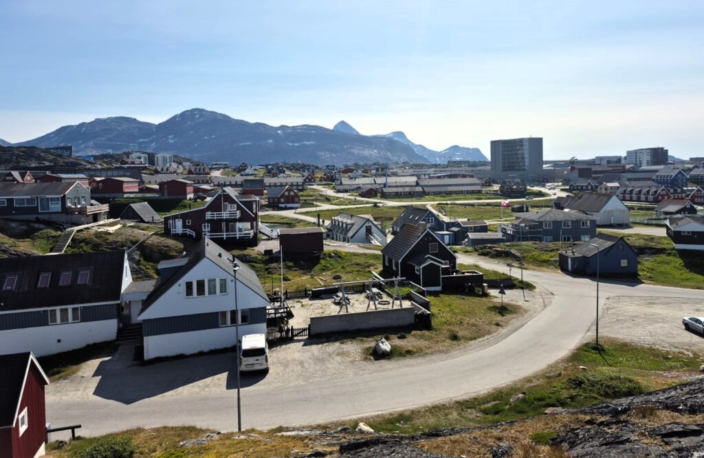
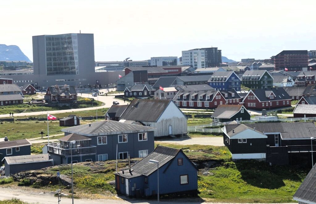
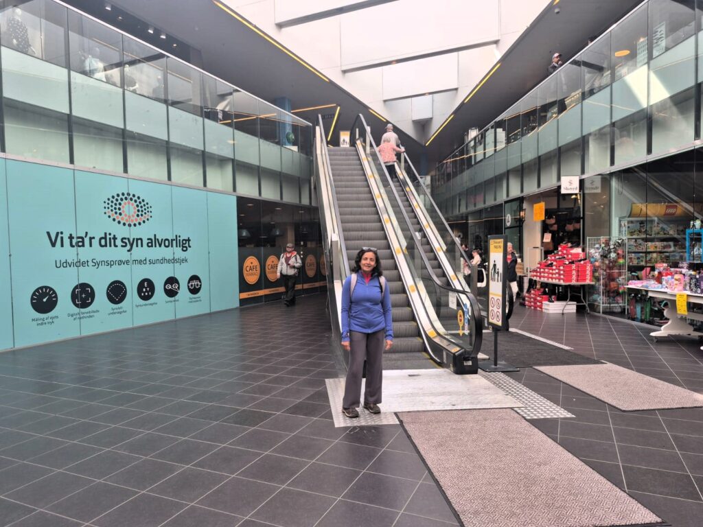
We climbed to Myggedalen viewpoint, caught a glimpse of Nuuk’s modest skyline, and wandered through the Nuuk Center mall, cultural spaces like Katuaq, and finally the National Museum.
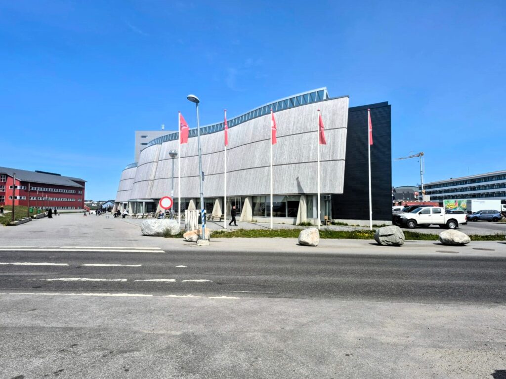
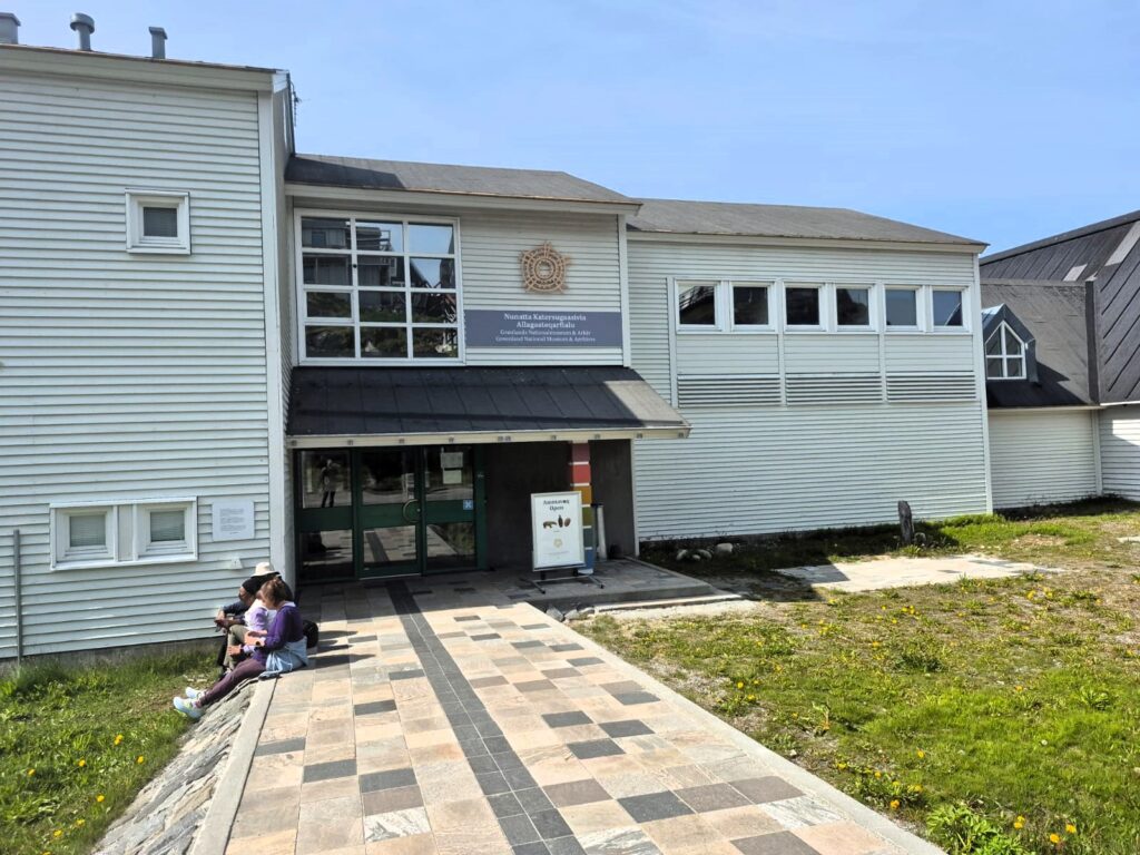
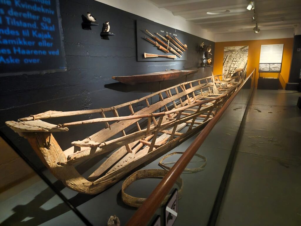
Our last stop in Nuuk’s city center was the Greenland National Museum and Archives. It’s a small museum (admission is 100 kroner, or about $15), but Sunday was free admission. The exhibits are excellent, with information boards in both Greenlandic and English. They walk you through the history of the Inuit people — their clothing, transportation, language, and culture. For anyone visiting Nuuk, it’s definitely worth the time.
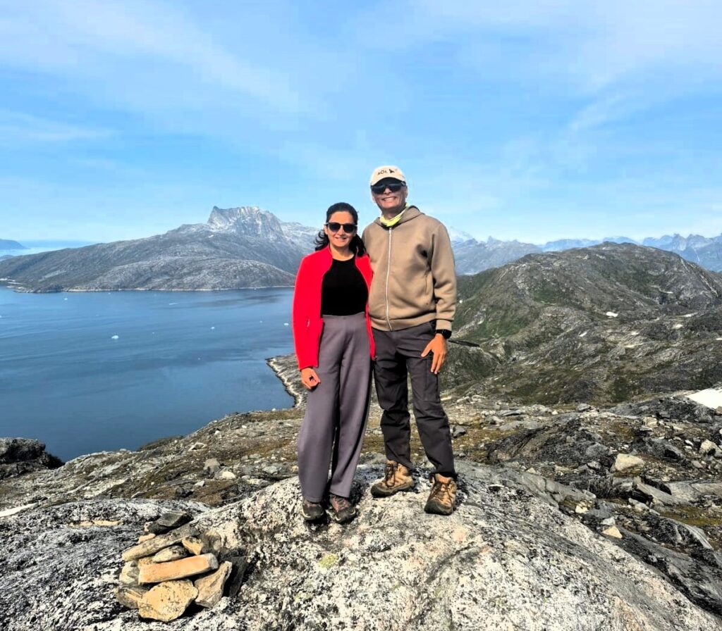
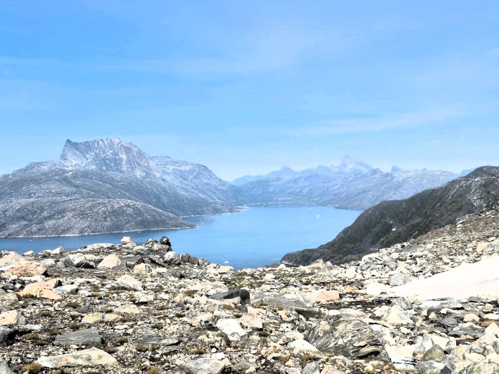
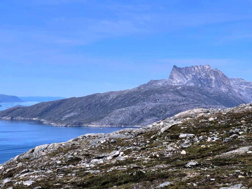
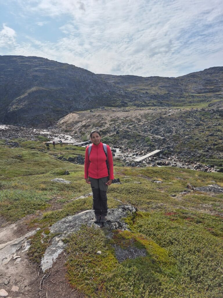
By late afternoon, around 4 p.m., we set out for our final adventure of the day: a hike up Lille Marlene, a hill that overlooks Nuuk. Our original plan was to take Bus #3 to the trailhead, only to discover it doesn’t run on weekends. Instead, we caught a taxi to the ski lift area near the airport and began the climb from there.
The trail followed the path of the old ski lift, winding steadily upward. It took about 45 minutes to reach the summit, with an elevation gain of roughly 1,400 feet. The views from the top were breathtaking — the fjords stretching out into the distance, the colorful city of Nuuk below, and the taller Store Marlene (Big Marlene) peak rising nearby.
The climb wasn’t without its challenges. Swarms of Arctic mosquitoes buzzed around our faces, reminding us that even in Greenland’s cold climate, these hardy insects thrive in summer. Luckily, we had insect repellent, though many hikers use mosquito nets for better protection.
Along the way, we struck up a conversation with three Danish hikers — two electricians and a physiotherapist — who had lived in Greenland. They shared stories about daily life and work in this remote land, giving us a glimpse into the local culture. At one point, we passed a cluster of brown buildings, which they explained was a prison. We laughed that it must have one of the best views in the world.
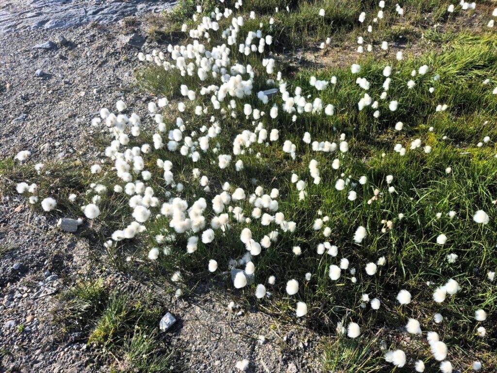
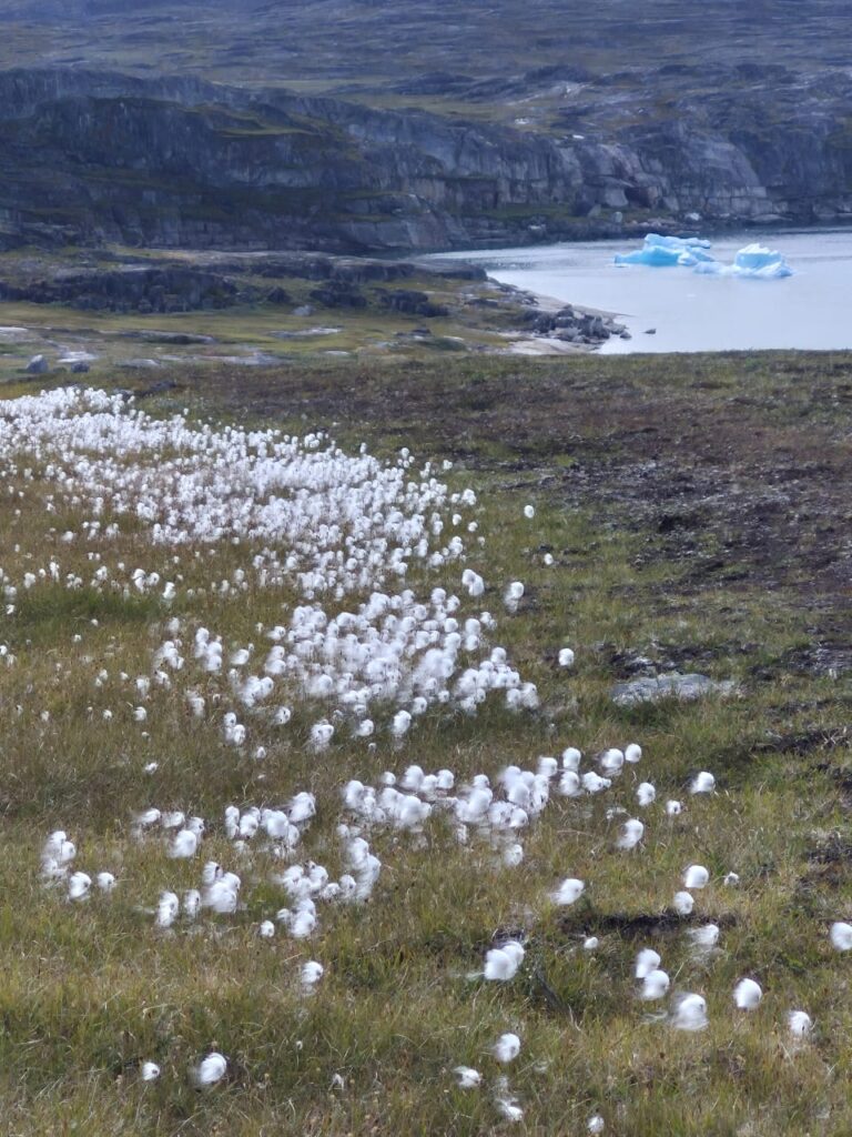
On the descent, we noticed patches of cottongrass — a soft, white plant that grows all over Greenland. It’s used as filling for pillows and jackets because it provides warmth, though it doesn’t hold together well enough to be spun into fabric.
We ended the hike by walking to the nearby Nuuk Airport, a small but modern facility built as recently as November 2024.
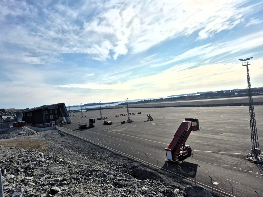
Before that, Kangerlussuaq had been Greenland’s main air hub. From the airport, we caught a taxi back to our Airbnb, tired but content. After dinner, we called it a night around 10 p.m., grateful for a day that balanced history, culture, and adventure.
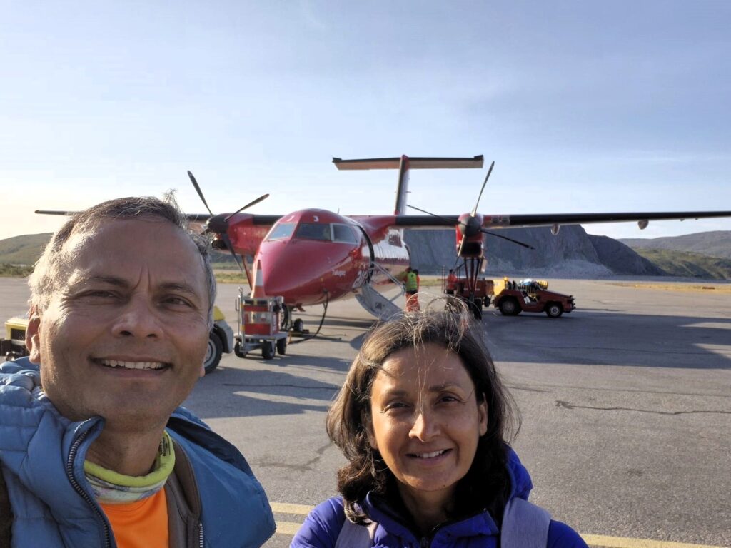
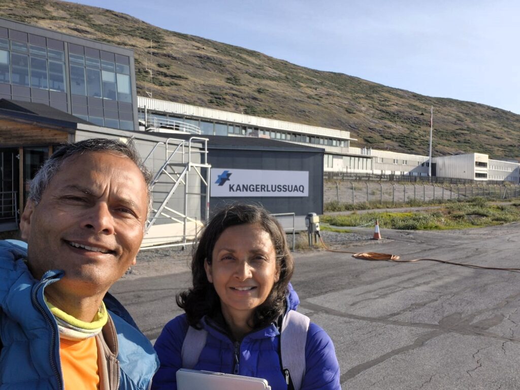
Day 4: Kangerlussuaq and the Greenland Ice Sheet (July 28)
I woke up around 3 a.m. in Nuuk, curious to see what “night” looks like this far north. It never truly got dark — just a dim twilight before brightening again. With nearly 21 hours of daylight in summer, Greenland really does blur the line between day and night.
By 5 a.m., we were up and ready. A Nuuk Taxi, booked in advance, arrived promptly at 5:30 and had us at the airport by 5:45. The small terminal was already busy, with long lines at check-in. At 7:25 a.m. we boarded our flight to Kangerlussuaq, landing at 8:40.
Kangerlussuaq has a fascinating past. Originally established as the Søndre Strømfjord U.S. Air Force Base in 1941, it remained under American control until 1992, when it was handed back to Greenlandic authorities. For decades, it was also Greenland’s only international airport until Nuuk’s new airport opened in November 2024. At the entrance, a distance pole stands as a relic of aviation history. It was installed in 1954 by SAS Airlines when they began a polar route from Copenhagen to Winnipeg via Kangerlussuaq and Los Angeles. At that time, planes couldn’t fly for 15 hours nonstop — they needed refueling stops, and this tiny Arctic town became a vital waypoint.
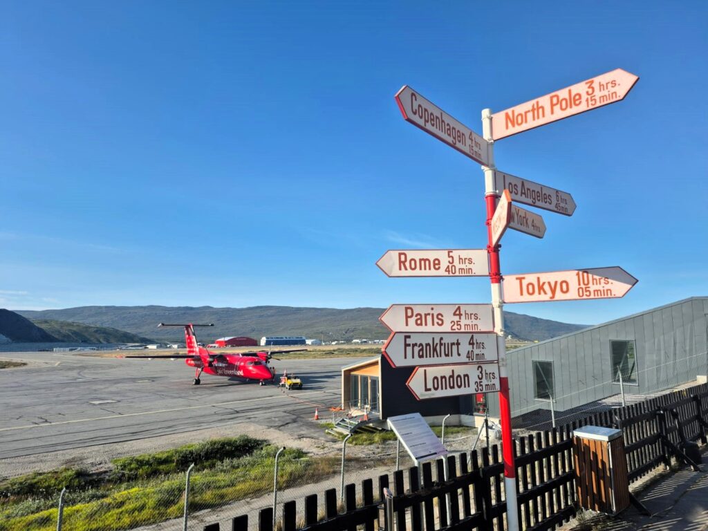
Geographically, Kangerlussuaq is just 50 km north of the Arctic Circle, and only about 3 hours from the North Pole by air — a reminder of how deep into the Arctic we had traveled.
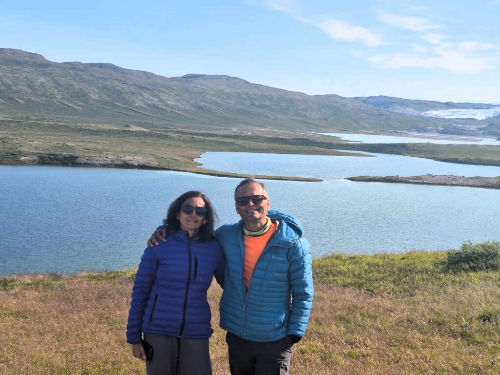
At 10 a.m., we set off on the Point 660 Ice Sheet Tour with Albatros Arctic Circle Tours. Our guide, Danny, welcomed us onto a large bus that, surprisingly, carried just four travelers.
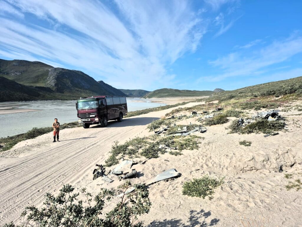
The journey to the ice sheet would take over two hours, along a road originally built in 1997 by Volkswagen to test their cars on ice. The project turned out to be too costly and impractical, but the road remains and is now the lifeline for tours heading to the edge of the Greenland Ice Sheet.
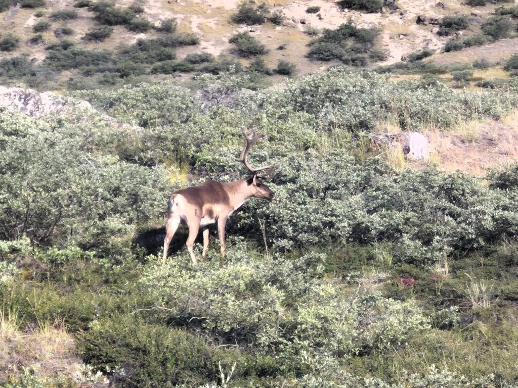
As we drove, we saw many wild animals. We spotted reindeer grazing in the tundra, and the unmistakable bulk of musk oxen — animals not native to this region but relocated here from East Greenland.
Herds of these prehistoric-looking creatures now roam freely in the west.
The Watson River, swollen with glacial meltwater, thundered alongside us.
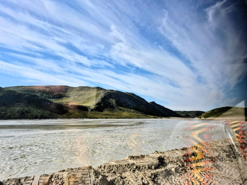
Greenland’s rapids looked wild and untamed, and Danny explained that rafting here is prohibited due to the river’s sheer power.
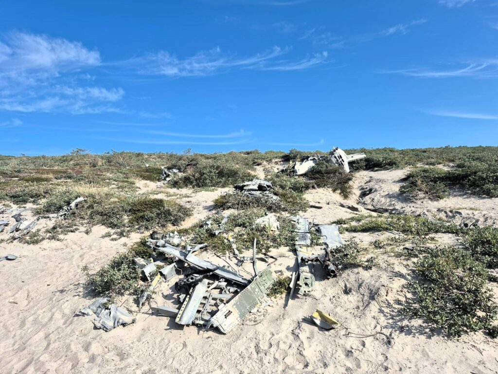
One interesting stop was at the wreckage of a T-33 U.S. Air Force trainer jet. In 1968, during a snow whiteout and power failure at Kangerlussuaq Airport, three such planes crashed after the pilots safely ejected. The broken metal still lies in the tundra, a stark reminder of how unforgiving the Arctic can be.
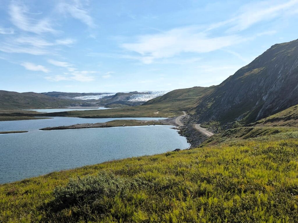
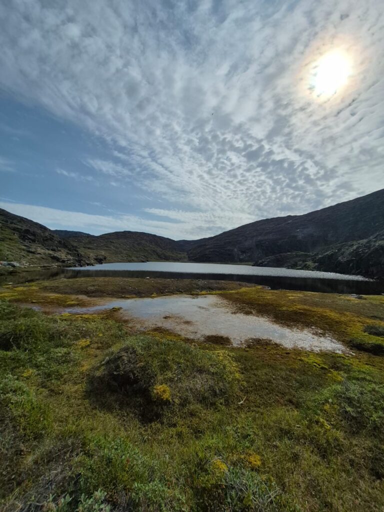
We paused at Long Lake, a scenic 11 km stretch of turquoise water, where we had hot chocolate. It was one of those surreal moments — sipping something warm while surrounded by immense silence and sweeping Arctic beauty.
Along the way, we also admired two dramatic glaciers: the Russell Glacier, with its towering ice walls, and the striking Arrowhead Glacier, named for its distinctive shape. Both were humbling previews of the main spectacle to come.
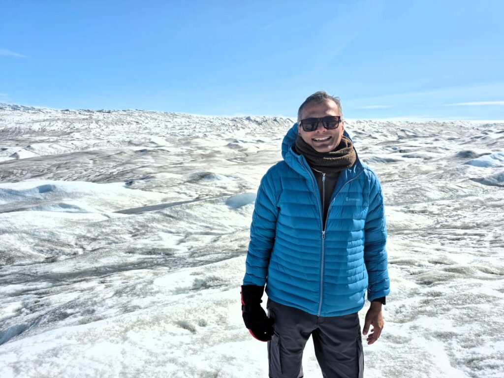
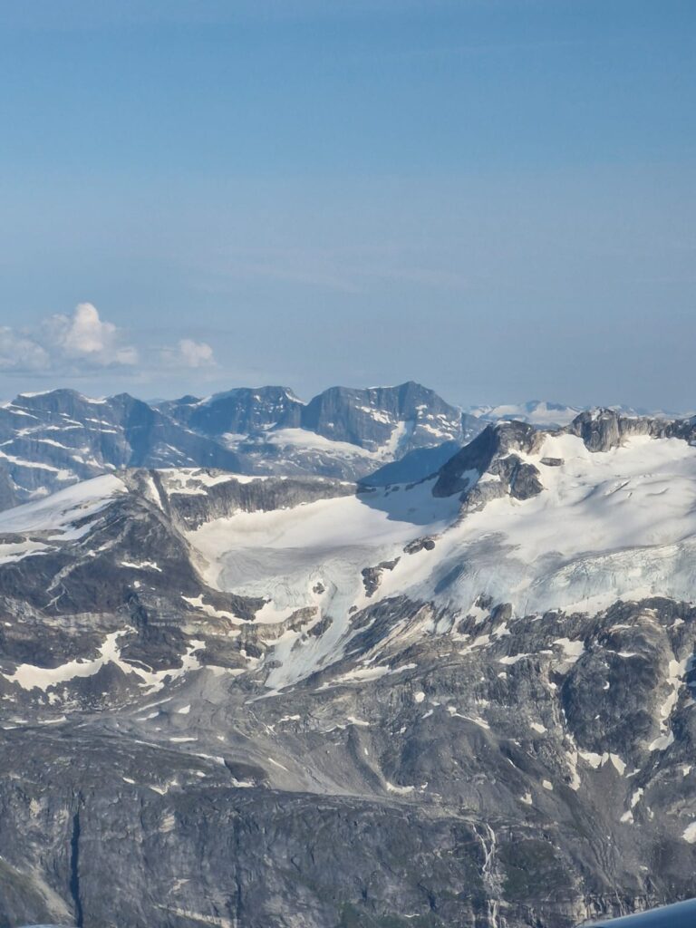
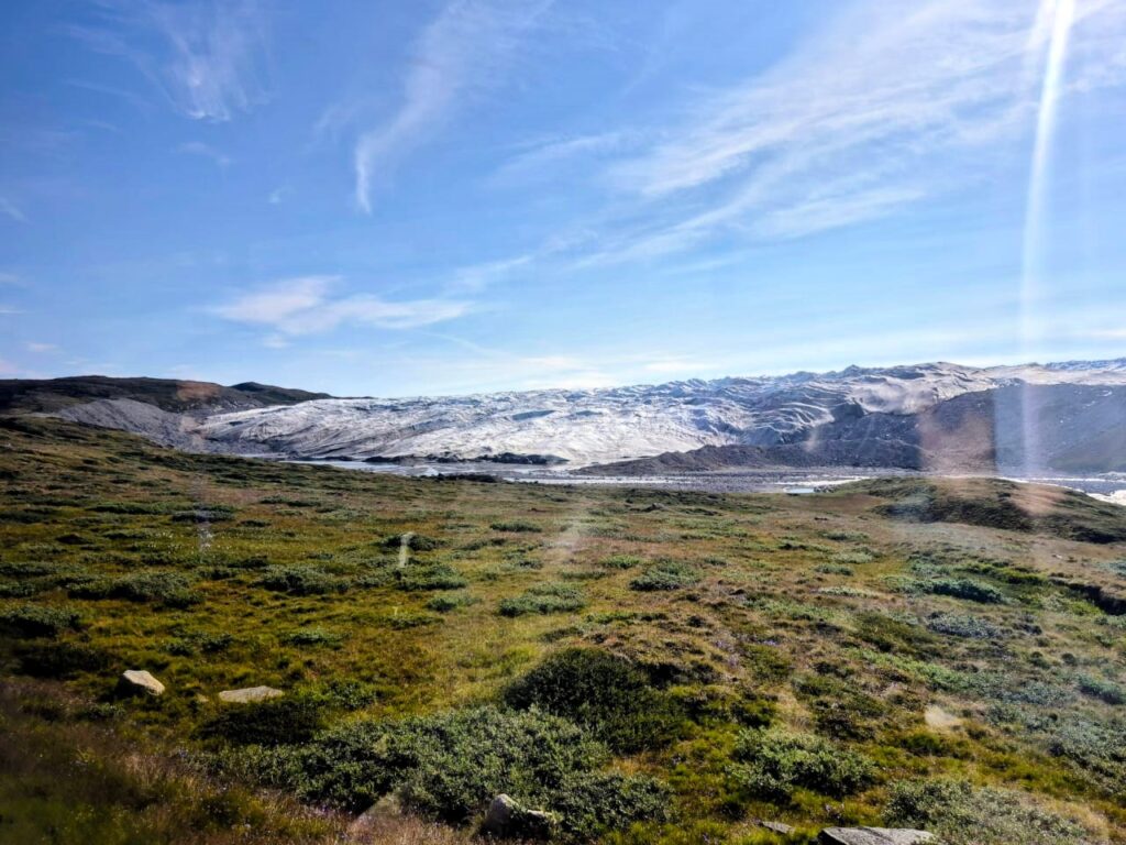
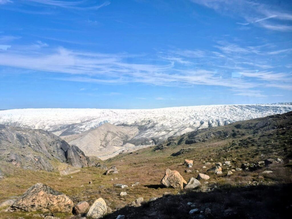
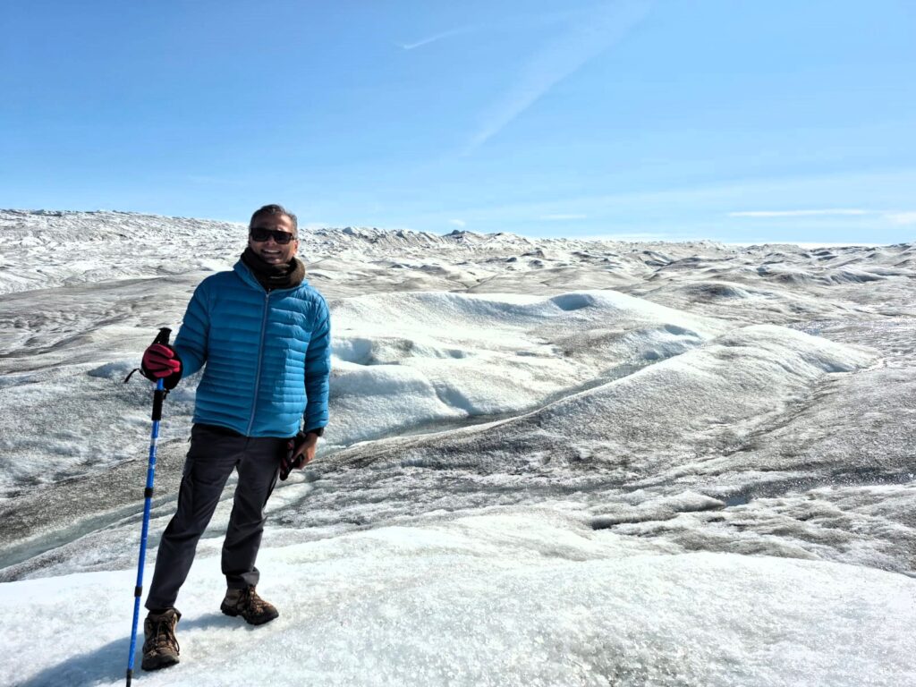
By early afternoon, we arrived at Point 660, the edge of the Greenland Ice Sheet — the second-largest body of ice in the world, covering 80% of the country. The statistics alone are staggering: an average thickness of 1.6 km, stretching almost 2,900 km north to south and up to 1,100 km across. Standing at its edge, I was awestruck by the idea that this ice extended another 600 km eastward, disappearing into the horizon.
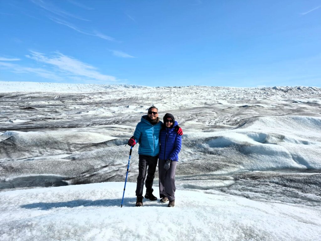
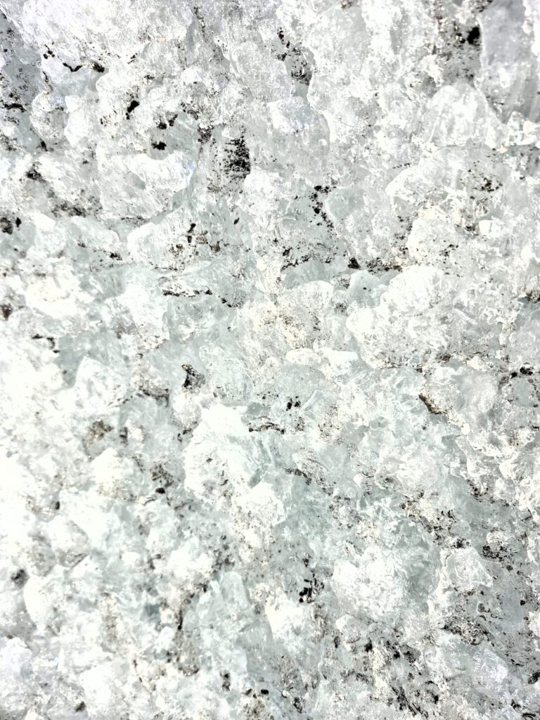
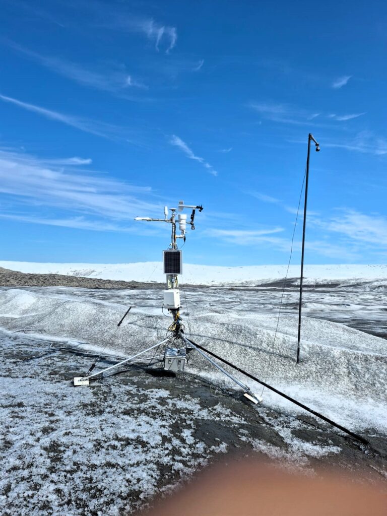
We strapped on our boots and walked onto the ice. The surface crunched underfoot, riddled with meltwater streams carving blue veins through the white. The further you go, the smoother and harder the ice becomes. We passed weather stations monitoring temperature, wind speed, snow depth, and other vital data for climate research.
To stand on this ancient ice, holding within it 80,000 years of Earth’s climate history, was humbling beyond words.
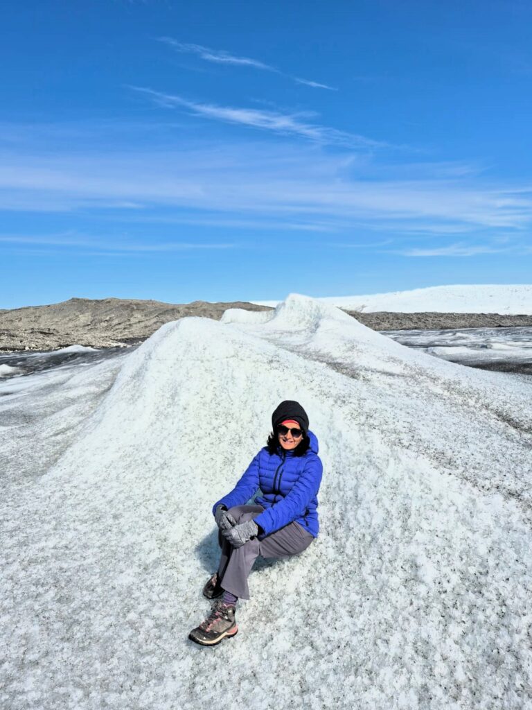
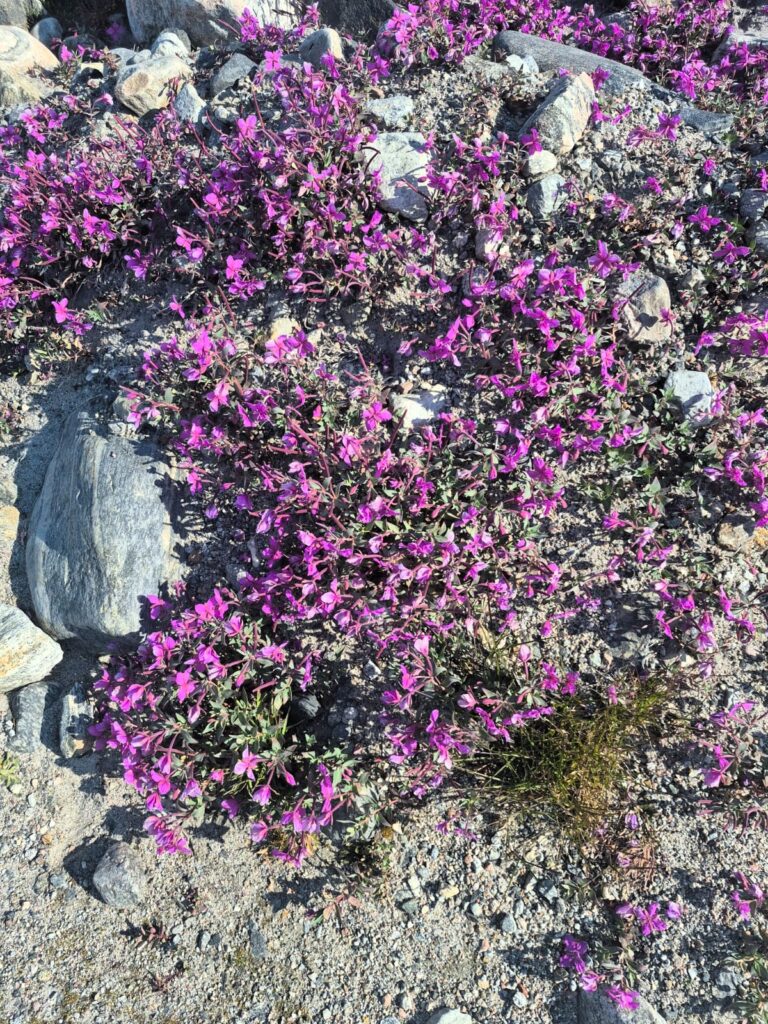
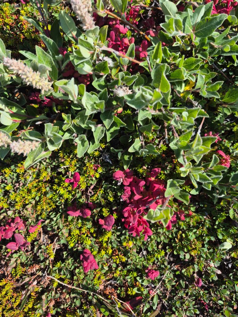
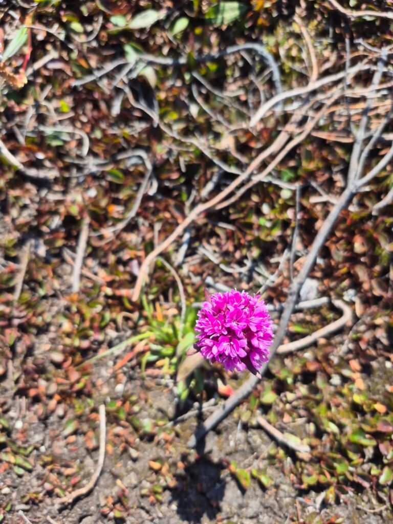
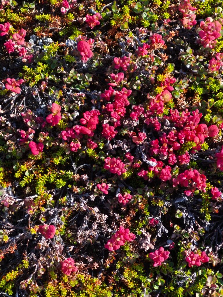
On the way back, the bus rumbled across moraigne — gritty landscapes of mud and rock mixed with 70% ice. Yet even here, life found a way. Clusters of delicate pink flowers bloomed, splashes of color against the barren Arctic ground.
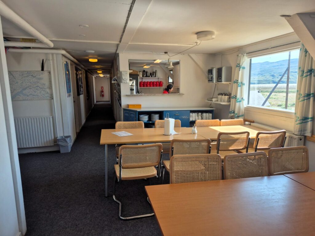
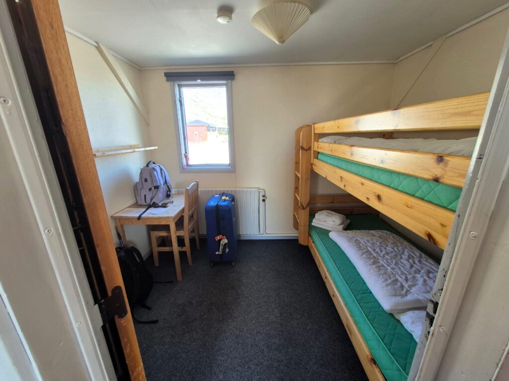
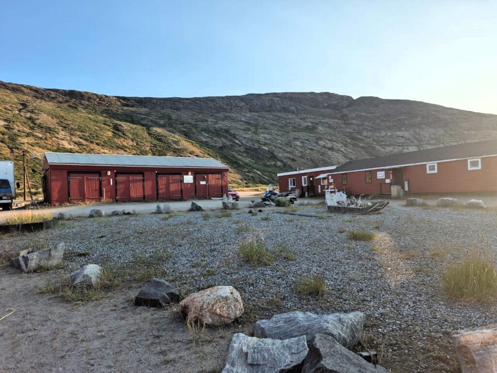
We returned to Kangerlussuaq around 3 p.m. and checked into Old Camp Hostel, one of the few accommodations in town.
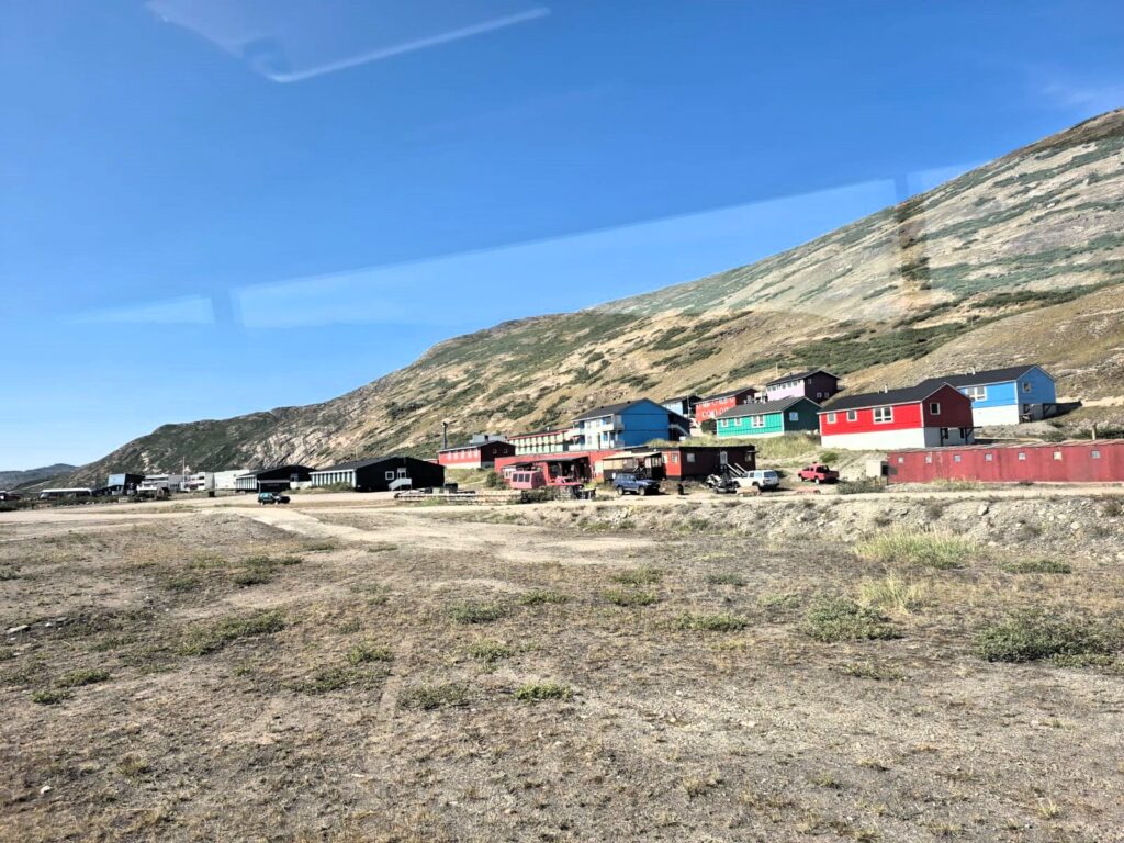
It was basic but cozy, with bunk beds, shared showers, and a communal dining area. The town itself is tiny, home to about 500 people in summer and just 100 in winter. Options for eating out were scarce, but we had come prepared with dried Indian meals from the U.S.
It was just a one-day layover in Kangerlussuaq, but it felt very satisfying. To wake up in the Arctic capital of Nuuk and, by the same evening, have walked on the Greenland Ice Sheet — it was the kind of day you never forget.
Day 5: Hiking the Icefjord Trails of Ilulissat (July 29)
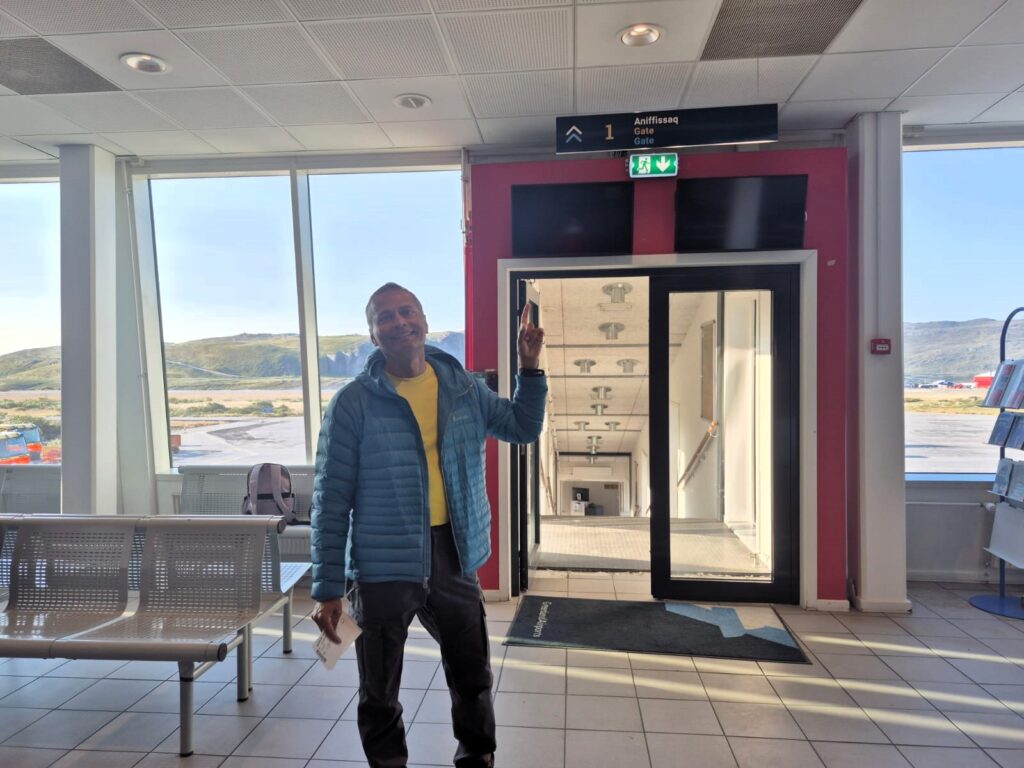
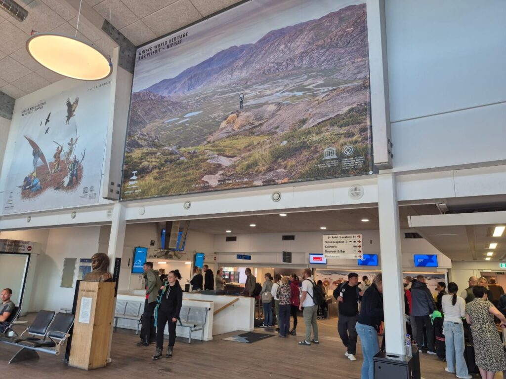
We woke up early in Kangerlussuaq and caught the 8:45 a.m. flight to Ilulissat. After breakfast at Old Camp, the hostel’s free shuttle dropped us at the airport — about four minutes away.
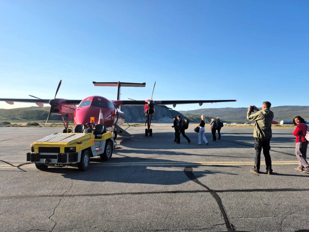
It was probably the most relaxed flight check-in we’ve ever had. Departing from Gate #1, there was no security check at all, since this was a domestic route.
In Greenland, people carry everything from guns to seals and walruses on these flights, so baggage scanners serve little purpose. It felt weird to just walk on board with our bags unchecked.
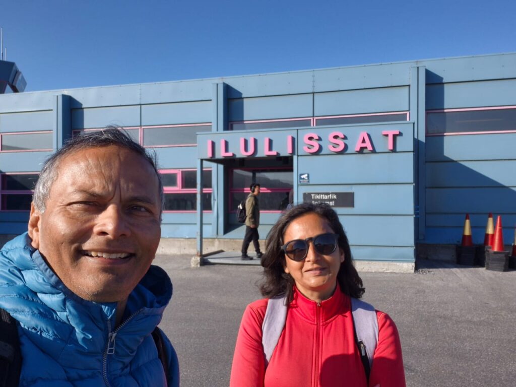
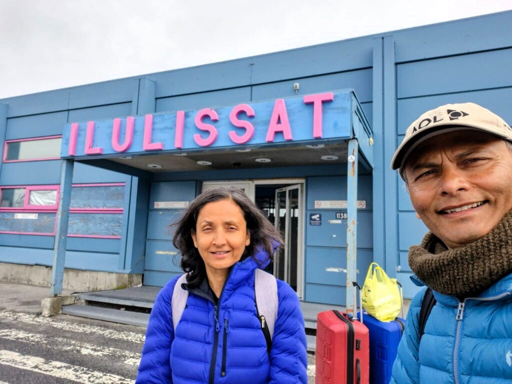
By 9:30 a.m., we landed in Ilulissat. A hotel shuttle from Hotel Nuka was waiting to pick us up, and after checking in, we had a quick Pad Thai lunch at Café Nuka, conveniently next door.
Our big plan for the day was to tackle the famous hiking trails around the Ilulissat Icefjord.
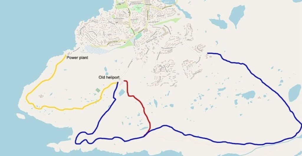
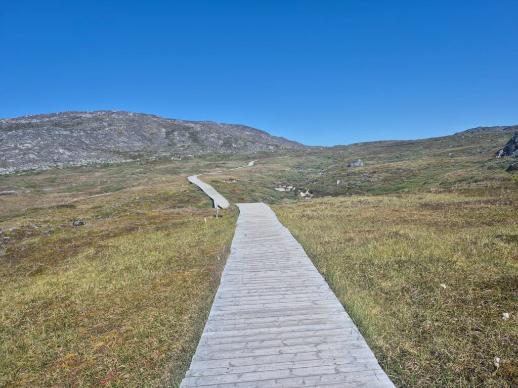
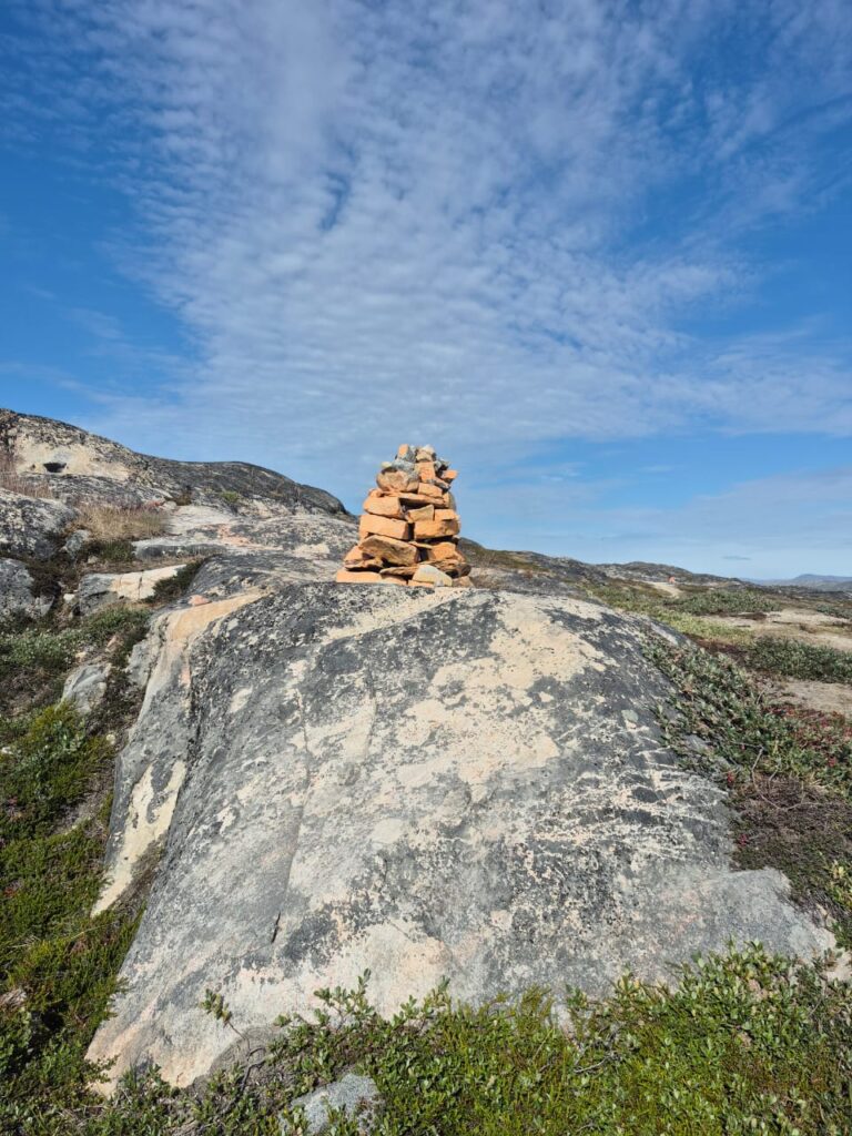
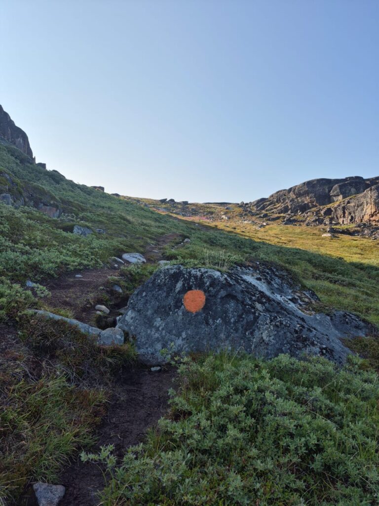
These trails are brilliantly marked in three colors — yellow, blue, and red — with painted stones along the route every 50 feet or so. There was no way to get lost, which made the experience even more enjoyable.
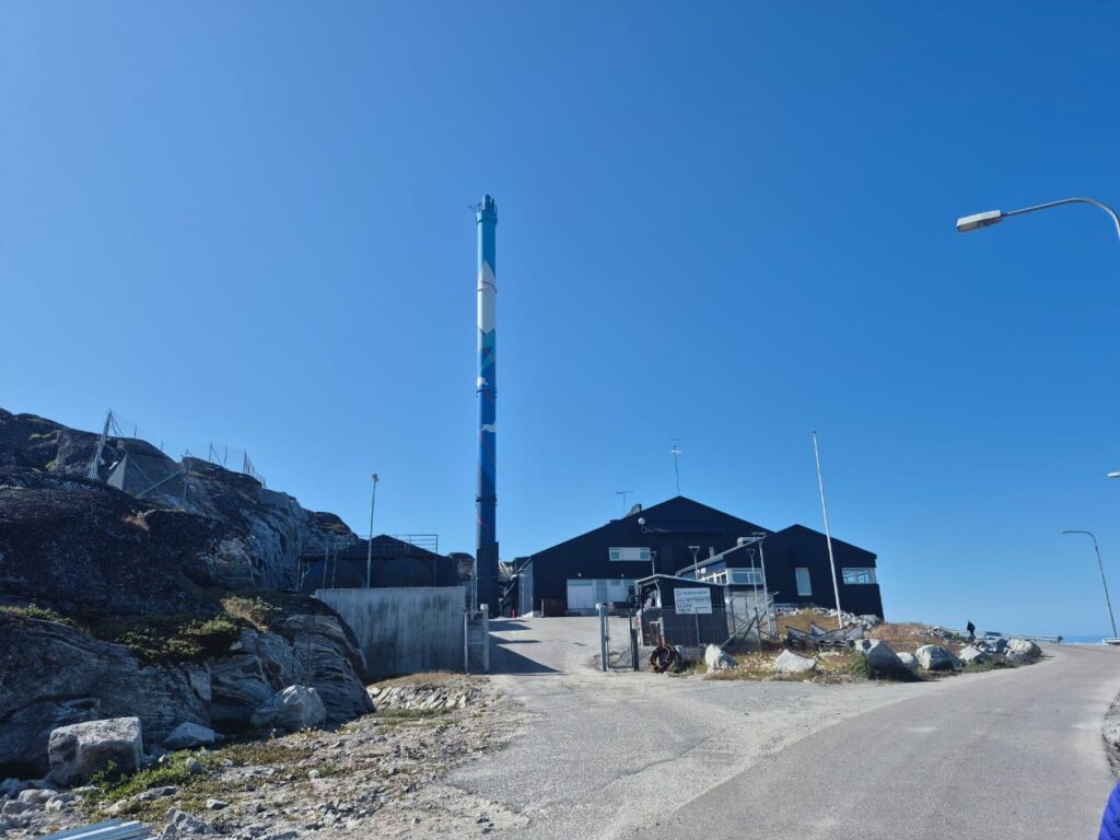
We began walking from our hotel around 1 p.m., heading first to the town’s power plant, the starting point of the yellow trail.
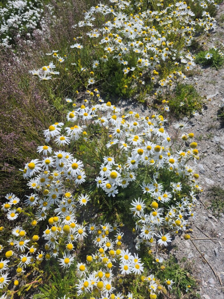
Along the roadside, we spotted fields of sunflowers and soft tufts of cottongrass, glowing white in the breeze.
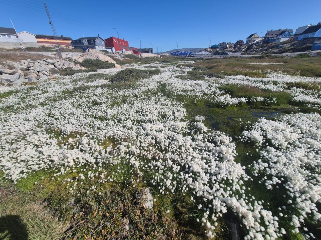
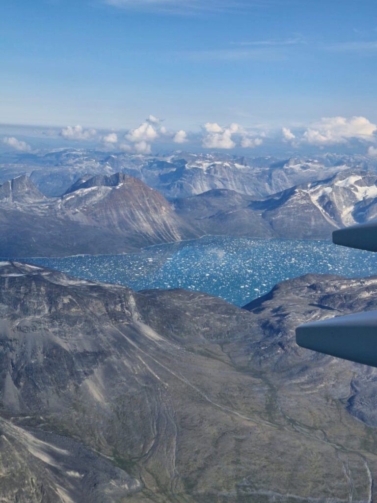
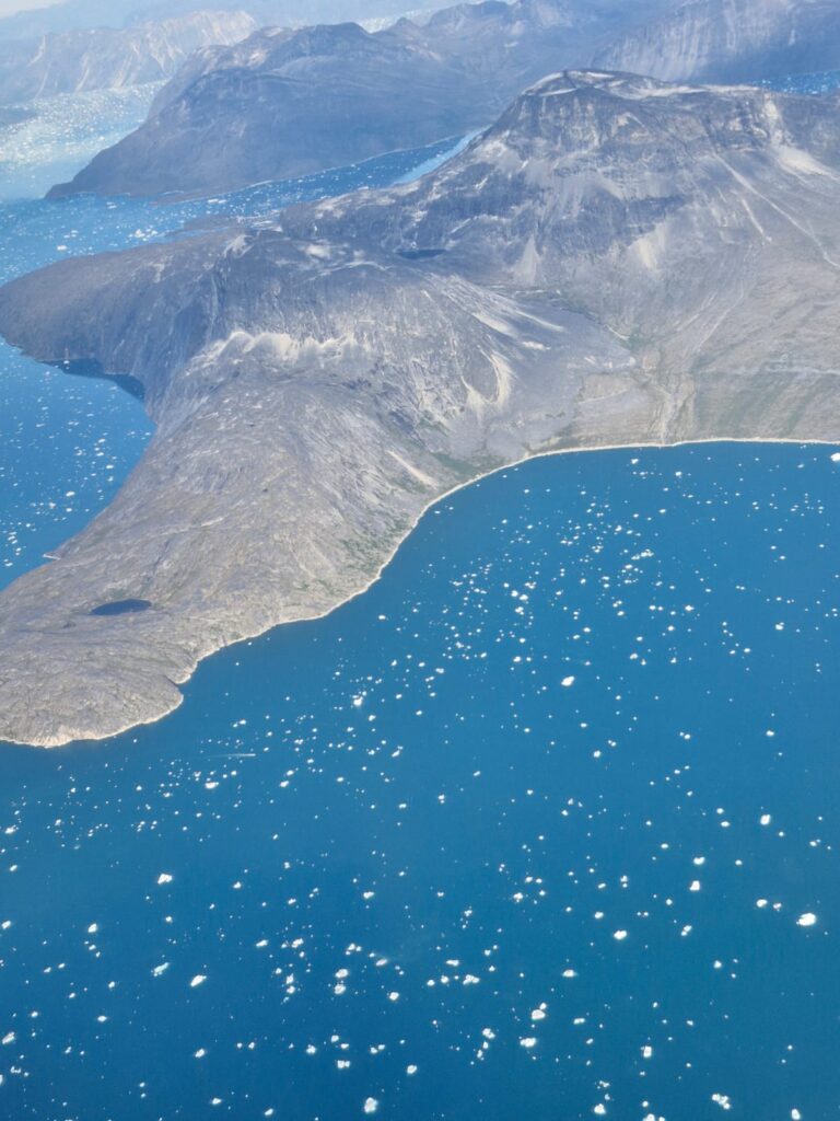
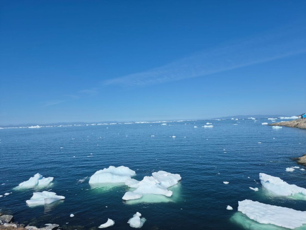
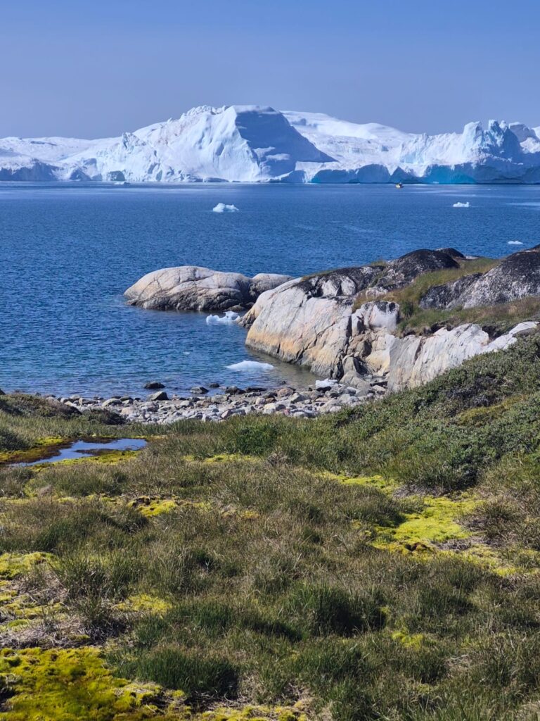
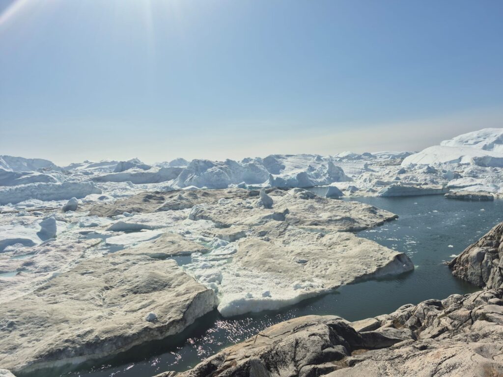
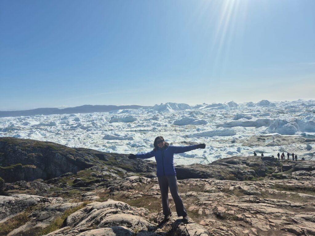
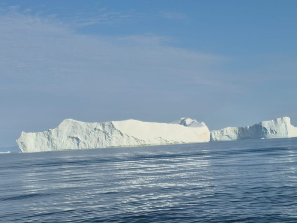
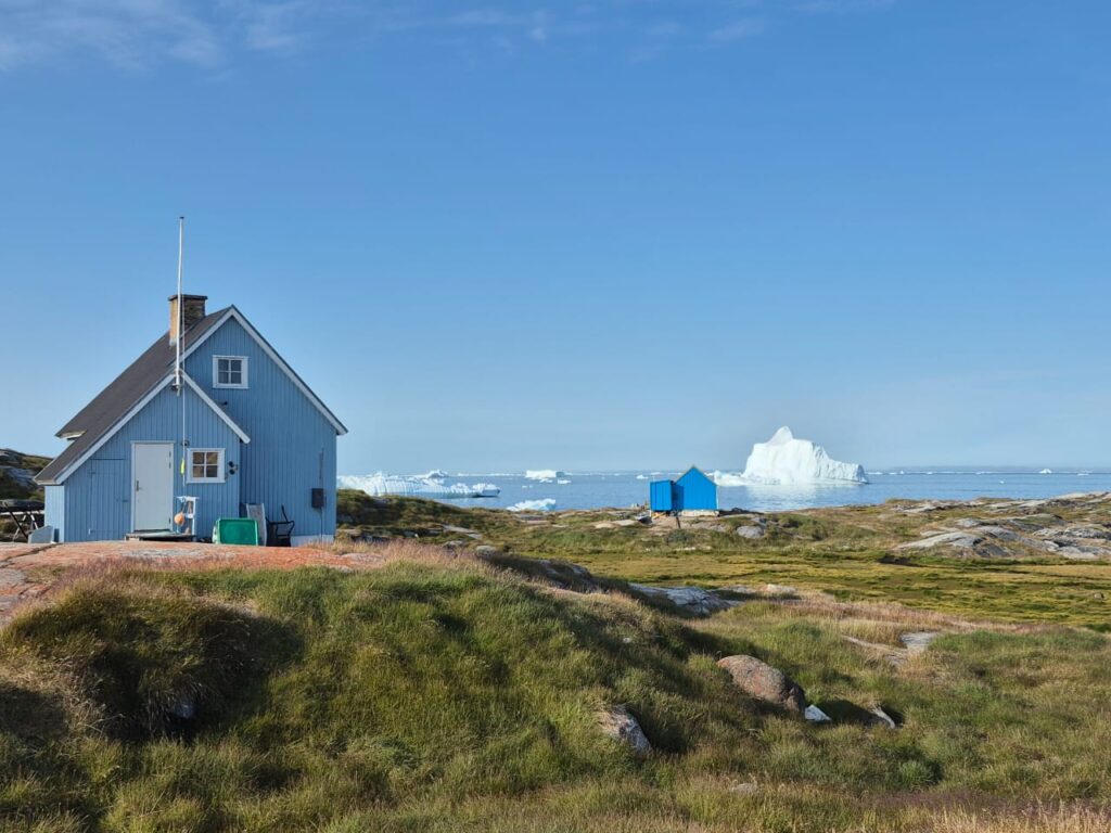
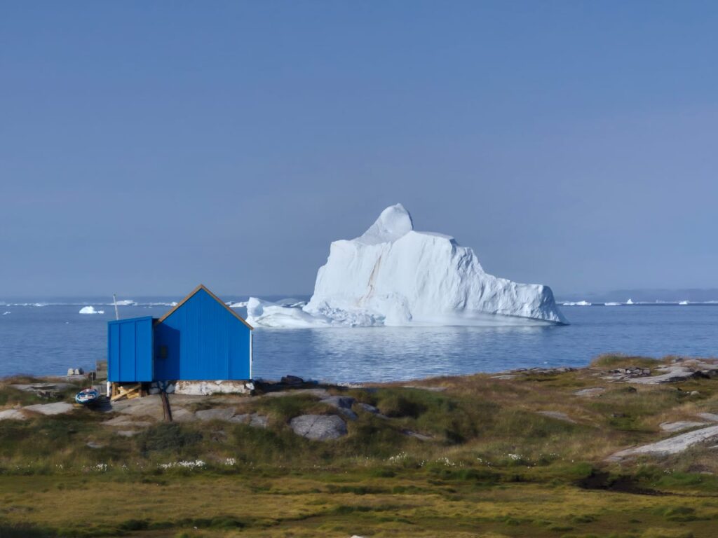
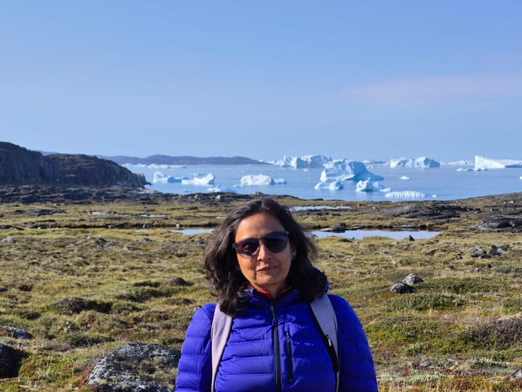
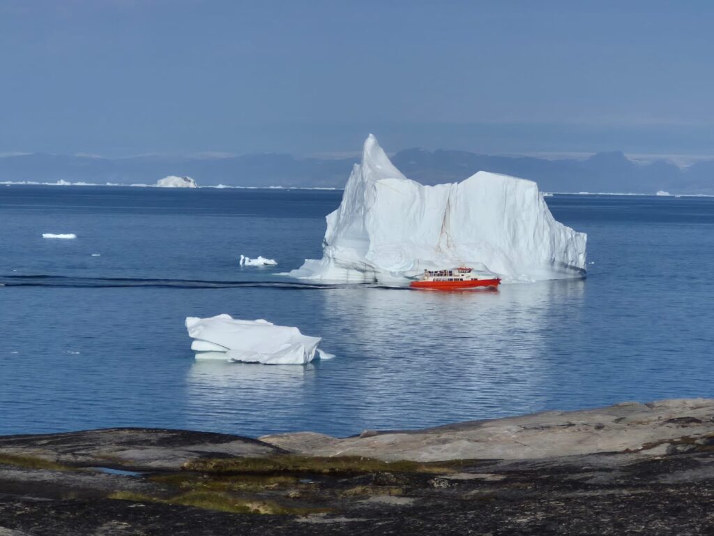
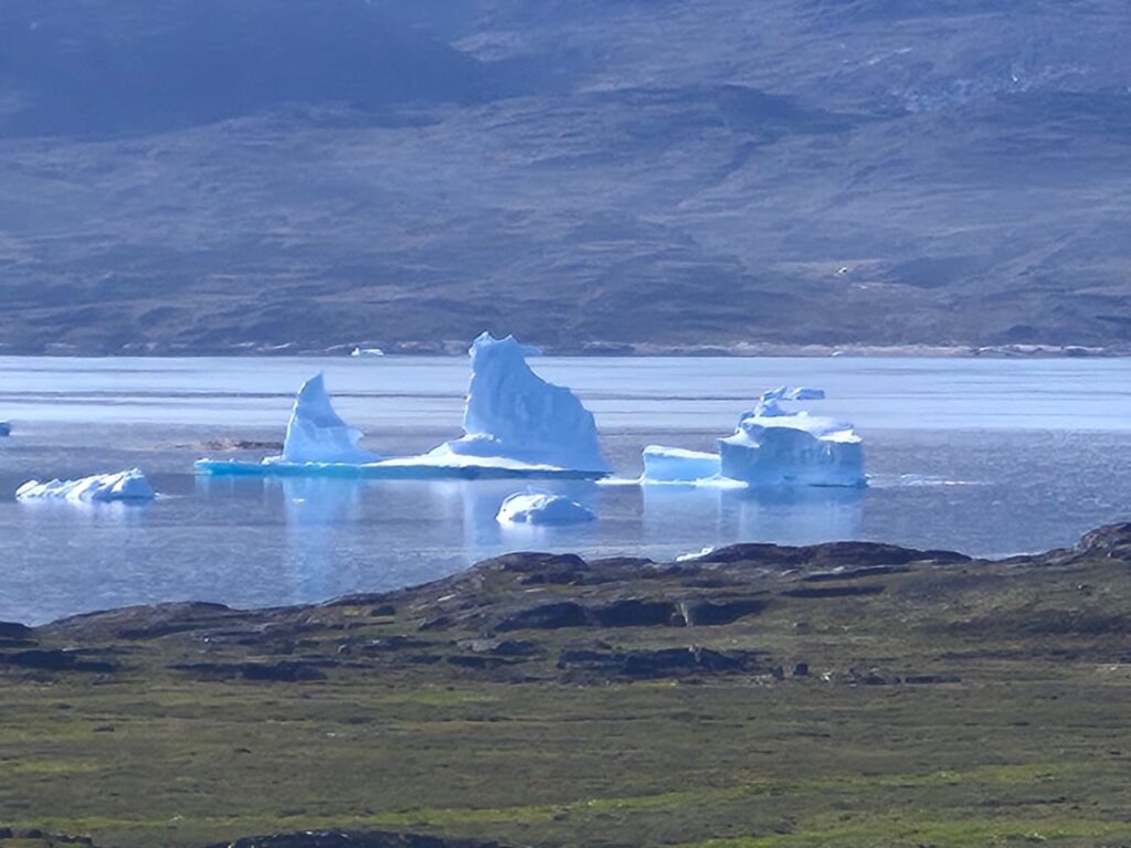
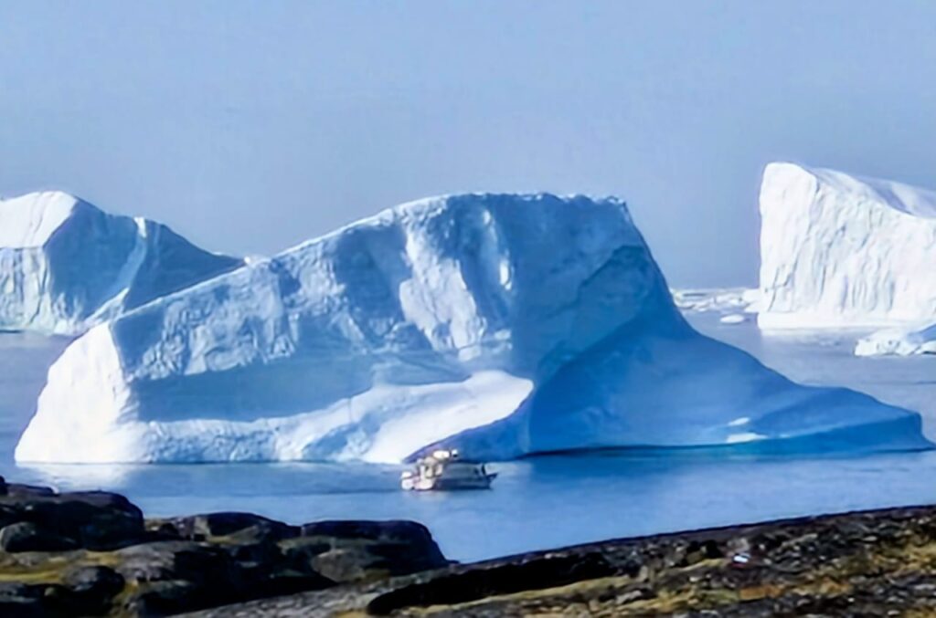
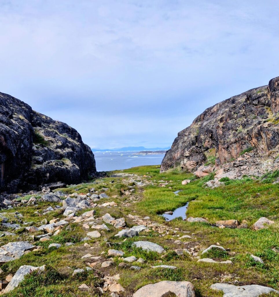
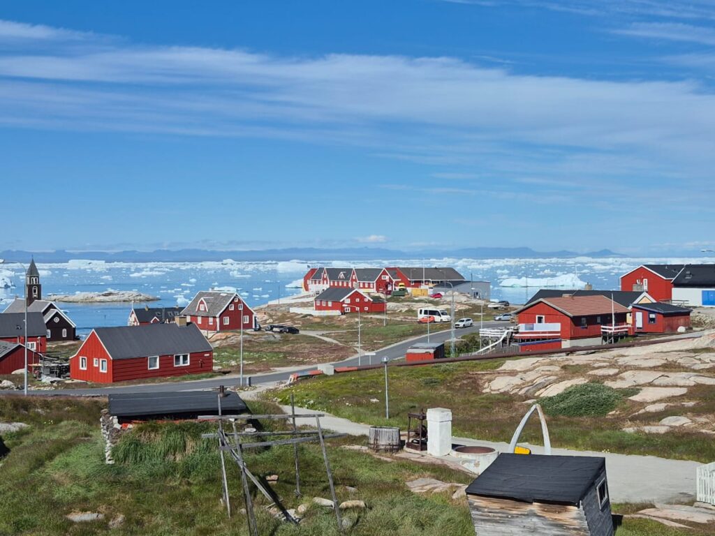
The yellow trail gave us our first sweeping views of the Ilulissat Icefjord, which lies about 300 km north of the Arctic Circle.
A fjord is a long sea inlet framed by cliffs, but here the water was invisible — the fjord looked like a frozen ocean. In reality, it was jam-packed with icebergs, carried into Disko Bay by the mighty Sermeq Kujalleq glacier. This glacier is the fastest-moving one in the Northern Hemisphere, racing ahead at 20–35 meters per day. It’s also one of the most productive, calving more icebergs into the sea than almost any other glacier on Earth.
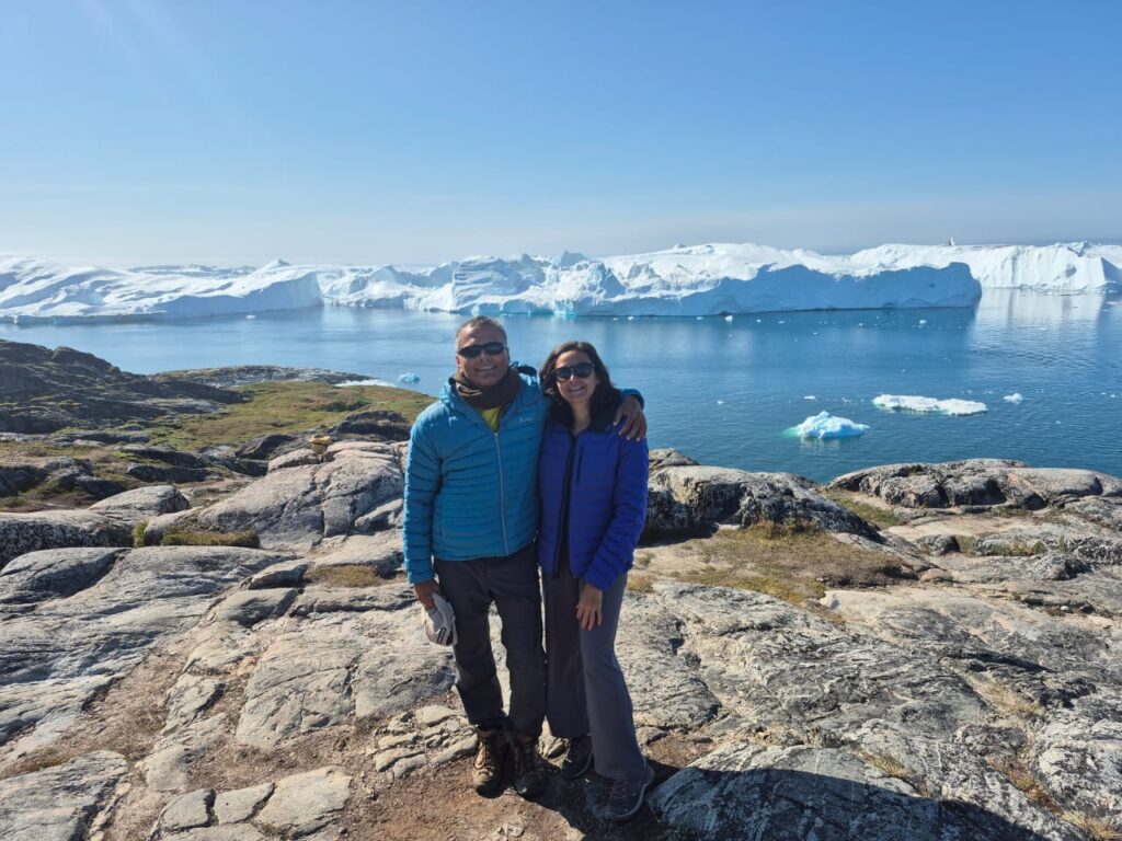
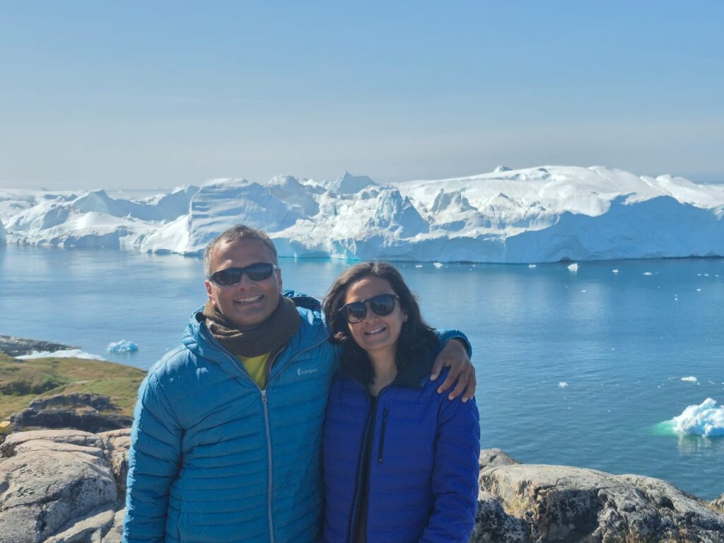
No wonder the Ilulissat Icefjord was declared a UNESCO World Heritage Site in 2004. The combination of geological significance and sheer natural beauty made every step along the trail breathtaking.
After some time, we joined the blue trail leading us to Sermermiut, an ancient Inuit settlement inhabited for more than 4,000 years.
We could not believe that it was an inlet of water. What we were seeing were really icebergs and not ice that is a part of the Greenland ice sheet.
Standing there, we were reminded that people once built entire lives in this rugged, icy land, surviving in harmony with nature.
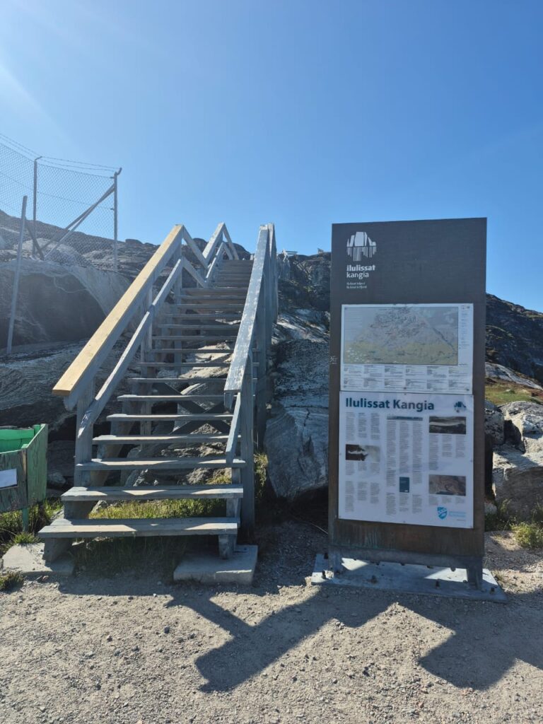
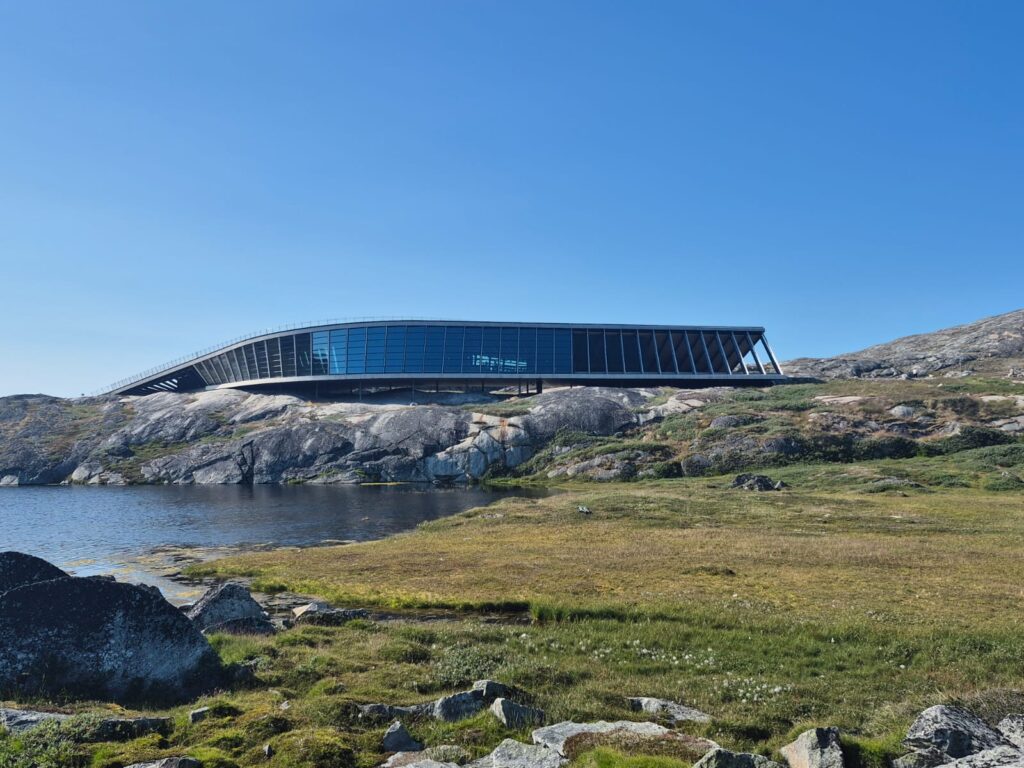
From there, we merged onto the red trail and looped back towards the Icefjord Centre. This modern building, with its curved, wave-like architecture, was almost as striking as the fjord itself. Its rooftop doubles as an observation deck, giving visitors elevated views of the surrounding icebergs.
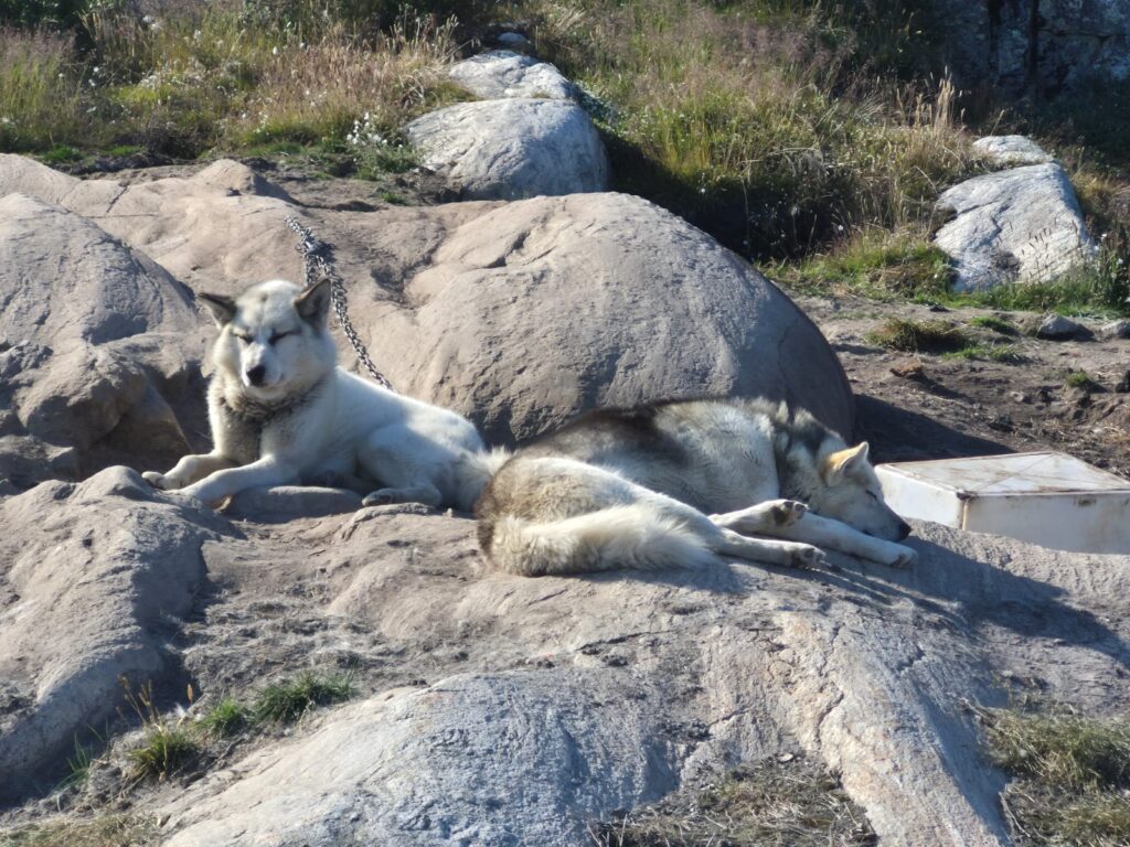
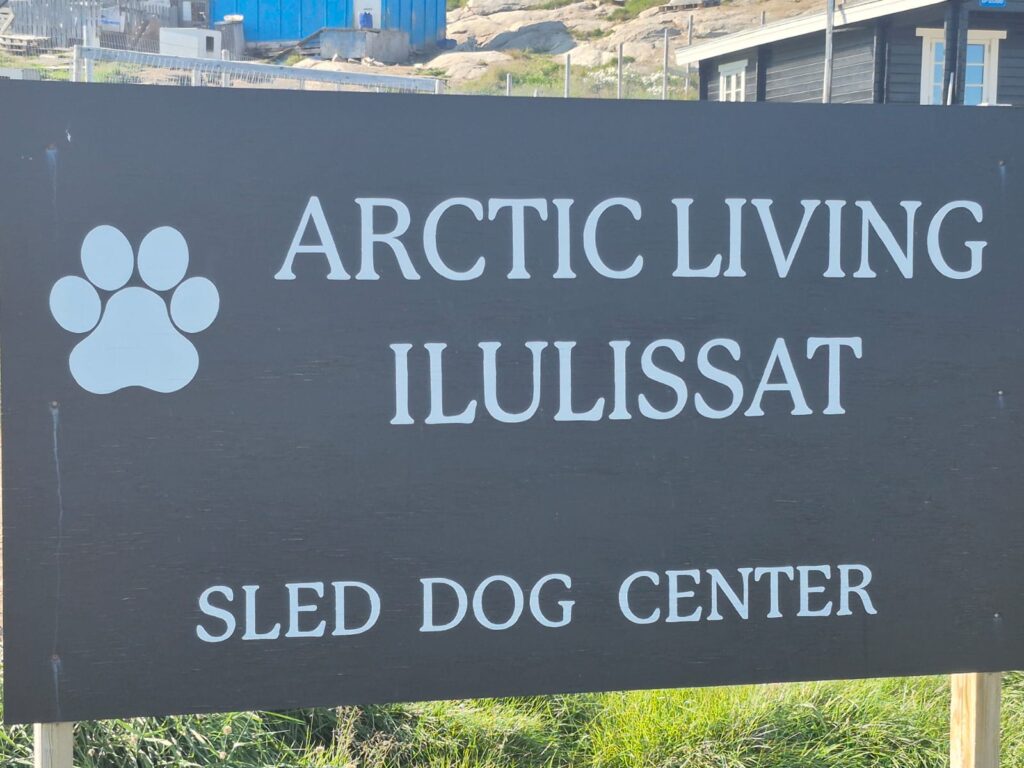
As we made our way back towards town, another sight surprised us: hundreds of sled dogs, kept in special areas outside the city during the summer months. With no snow for sledding, they remain here until winter returns. Their presence — and their howls — gave a haunting reminder of Greenland’s deep sledding traditions.
By 6 p.m., we were back at Hotel Nuka, tired but glowing from the hike. Dinner was simple yet comforting: pav bhaji (thanks to a Gits packet we’d carried from home) with bread we picked up at the local supermarket.
It had been a long day, but one of the most rewarding of the trip.
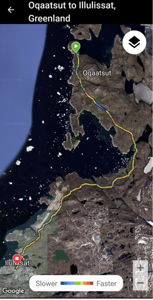
Day 6 – Trekking the Orange Trail: Oqaatsut to Ilulissat (July 30)
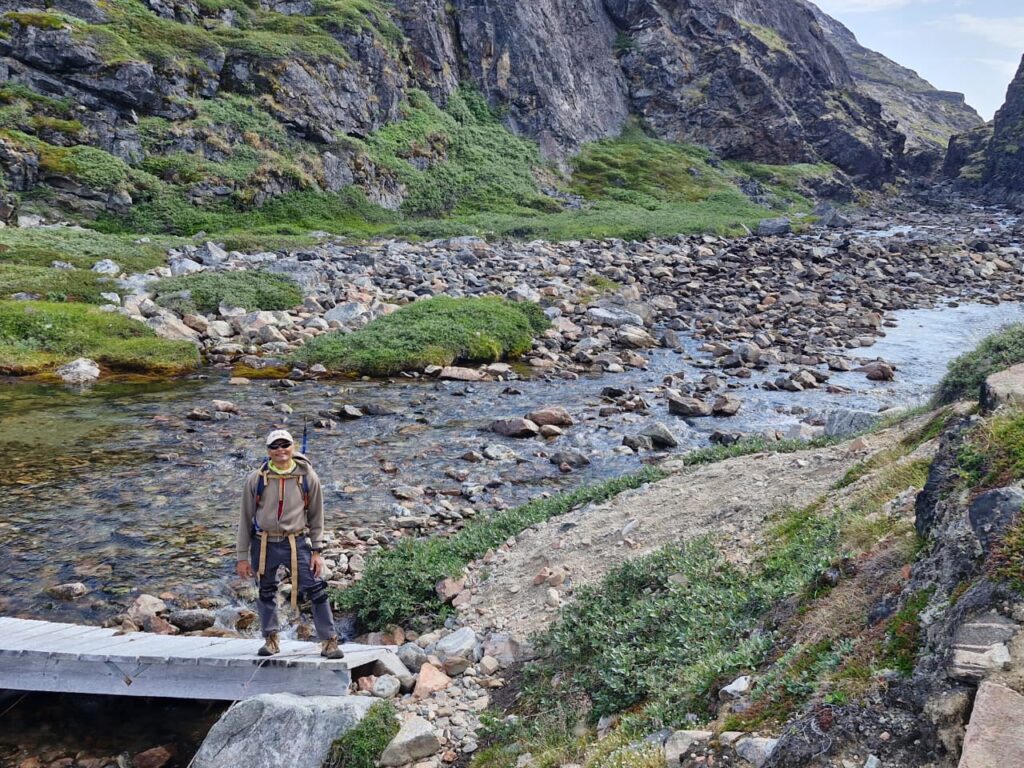
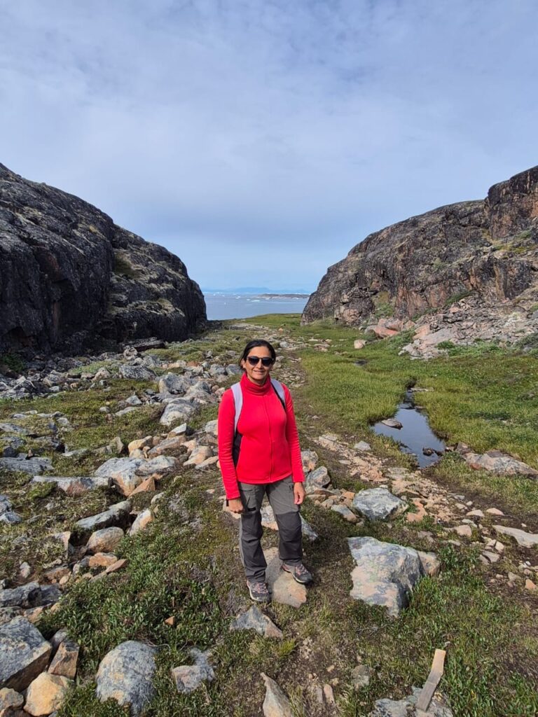
Today we were ready for something far more ambitious — the 25 km Orange Trail, which runs from the remote settlement of Oqaatsut back down south to Ilulissat along Greenland’s rugged coastline. This was the first trek we were attempting north of the Arctic circle.
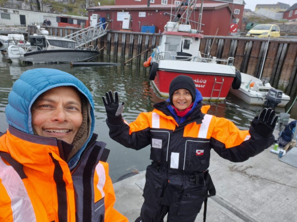
We started the day with a short walk to Tankeeraq Harbor, where our Tarajoq Tours pickup awaited us.
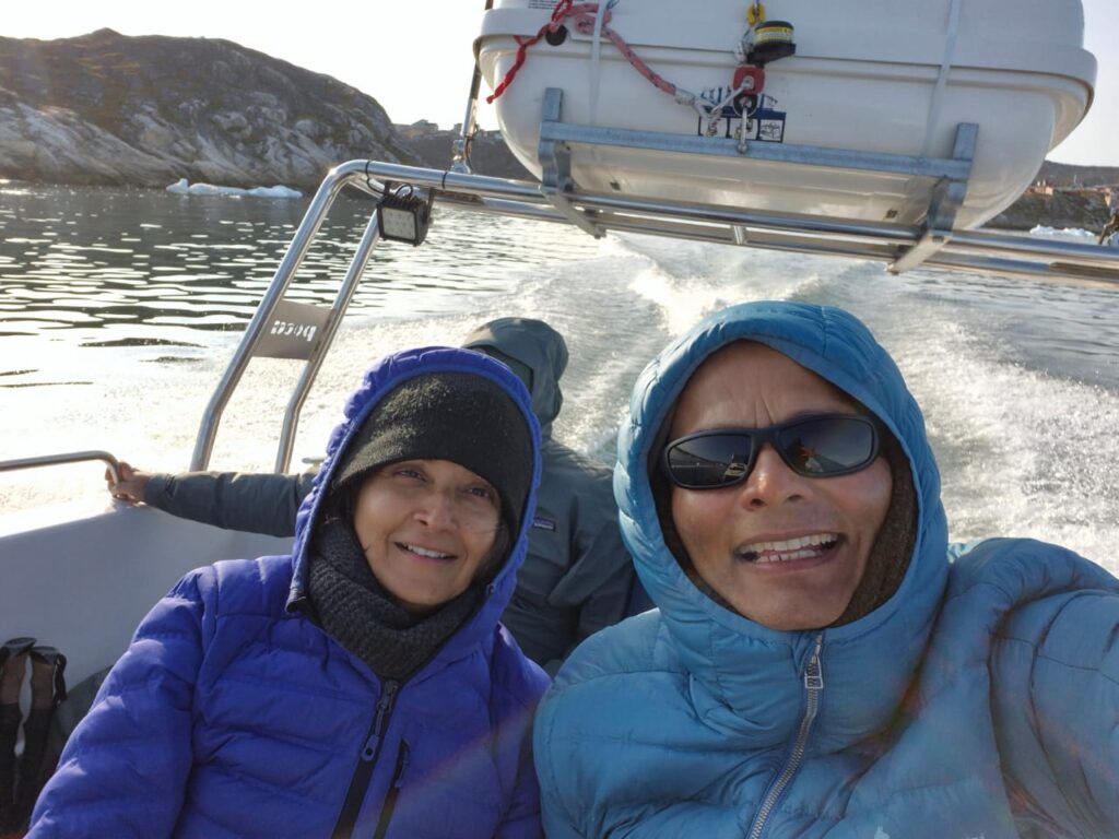
At 9 am sharp, Jonas met us with his speedboat, and soon we were skimming across the icy waters, weaving our way past massive icebergs.
The boat ride itself was spectacular — the highlight was spotting the spray of a whale spout just a short distance away. A magical start to the day.
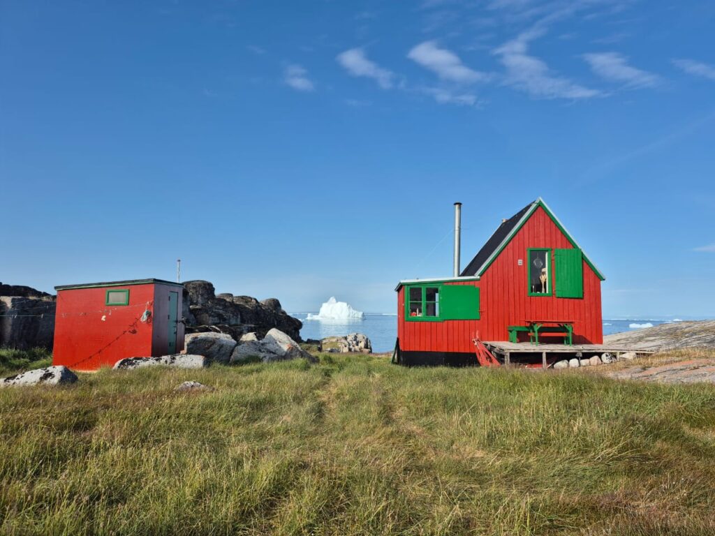
By 9:30 am, we reached Oqaatsut, a tiny Inuit settlement about 25 km north of Ilulissat. With no road access, life here moves at a different rhythm.
Most houses looked uninhabited, yet the village exuded a raw beauty. The coastline, with icebergs scattered across the horizon, made the place feel almost otherworldly.

At 10 am, we set out on the Orange Trail.
The path was perfectly marked with orange dots painted on rocks every 50 feet or so — a simple system, but incredibly effective. Not once did we feel lost or unsure.
This trek was special for several reasons. For one, it was the northernmost trek we had ever done — about 320 km north of the Arctic Circle.
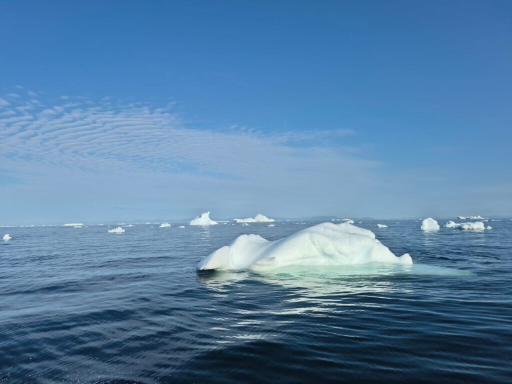
Unlike the other trails, this one followed the coastline almost entirely, offering uninterrupted views of the icebergs floating in Disko Bay.
With no tall trees anywhere in Greenland, the vistas remained clear and dramatic the whole way.
The trail was alive with variety. We crossed mountains, valleys, fjords, and glacial rivers, passed by serene sweetwater lakes (yes, I even tasted the water to confirm it wasn’t salty), and admired the clusters of colourful coastal houses.
The biggest thrill came when we spotted a whale from the trail itself — not from a boat, but while standing on land! That was a first for us, and it made the already breathtaking trek even more memorable.
By the time we completed the 25 km journey back to Ilulissat, we were exhausted but exhilarated. The Orange Trail had given us everything: icebergs, whales, wildflowers, lakes, endless views, and the satisfaction of conquering a challenging yet unforgettable hike.
This was truly one of those once-in-a-lifetime experiences that etch themselves deep into memory.
Day 7: Museums, History, and Icebergs (July 31)
After the long treks of the past two days, we decided to spend this day at a slower pace, exploring Ilulissat’s museums and cultural landmarks.
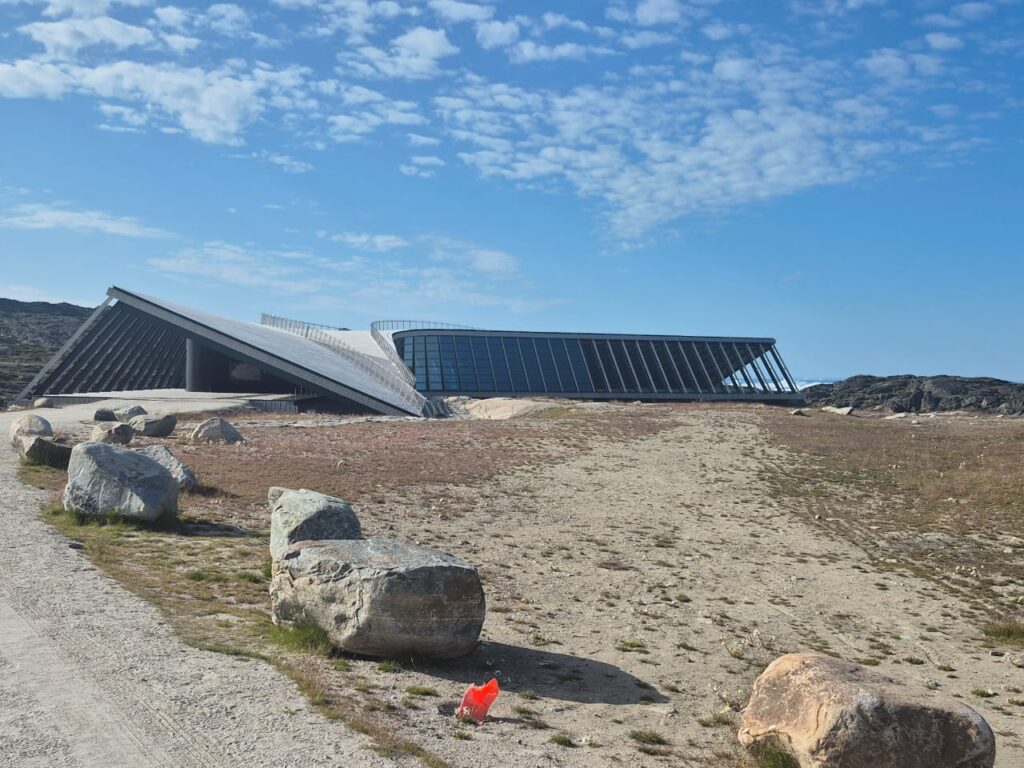
We began at the Ilulissat Icefjord Center around 10:30 a.m. From the outside, the building looks strikingly modern and grand, but inside it has a surprisingly small yet thoughtfully designed exhibit area. What the center lacks in size, it makes up for in content. The exhibits are interactive, beautifully curated, and deeply informative — particularly about the Sermeq Kujalleq glacier, the most productive glacier in the Northern Hemisphere that feeds the Ilulissat Icefjord.
One of the highlights was a short film explaining how snow is created, how it compacts into ice, and the processes that drive the movements of the Icefjord.
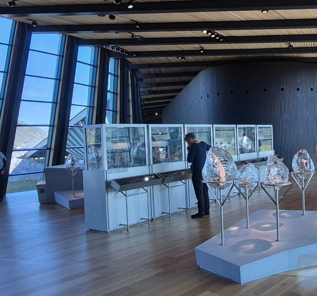
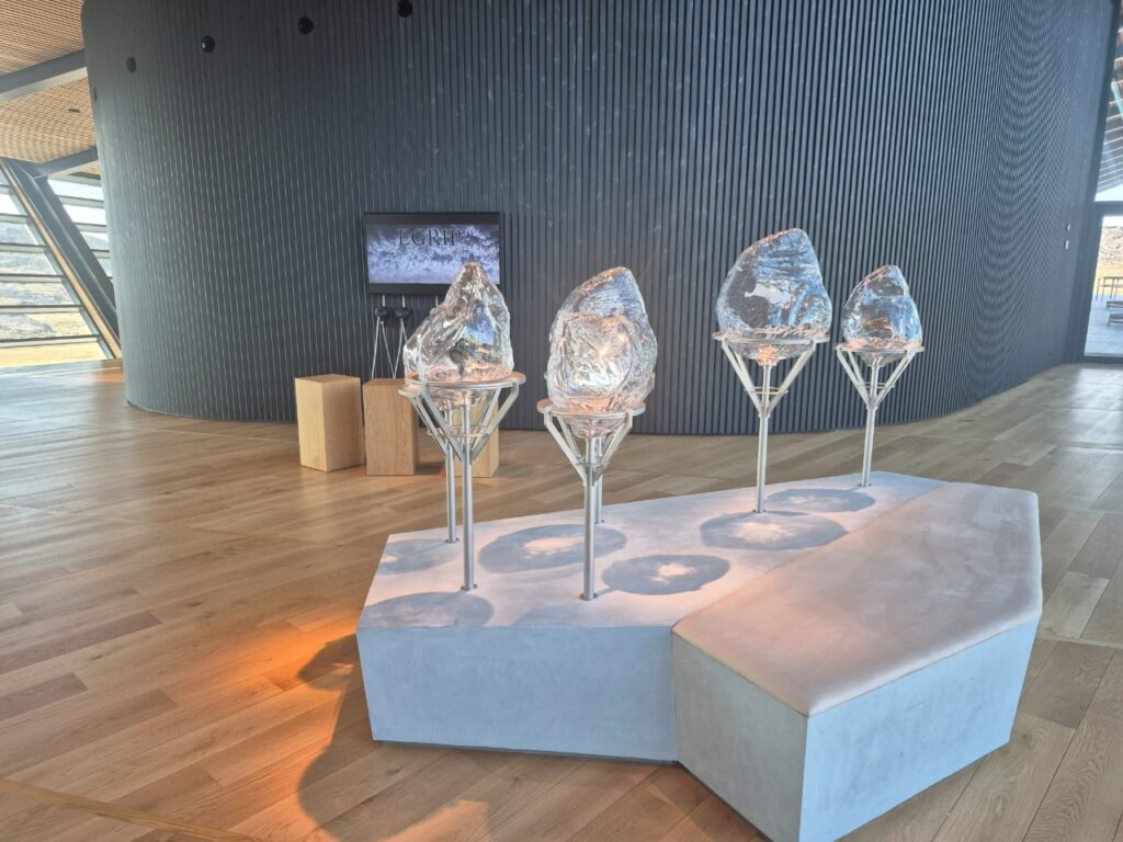
Another fascinating exhibit featured ice cores drilled up to 2,000 meters below the Greenland ice sheet as part of the EastGRIP project.

Each layer of ice corresponds to a year in history, and with scientific techniques, these layers can be dated very precisely.
Some samples even dated back to around the time of Christ’s birth, while others stretched thousands of years further.
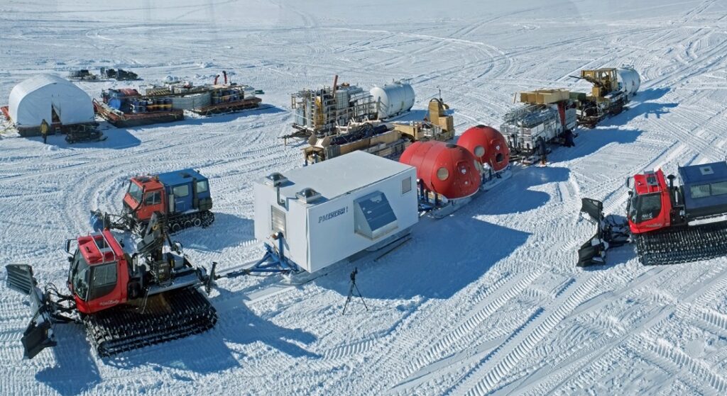
EastGRIP or EGRIP is an international science station on the Greenland ice sheet, the second-largest ice body in the world after the Antarctic ice cap. The team at EastGRIP, led by the University of Copenhagen in coordination with the Danish Centre for Ice and Climate and other partners, aims to drill through 2650 meters of ice dating back 80,000 years, to glean new knowledge of ice-sheet dynamics and how fast-flowing ice streams will contribute to sea-level rise. The resulting ice core will also create a new record of past climatic and atmospheric conditions from the northeastern part of the Greenland ice sheet, informing our understanding of how it may respond to a changing climate.
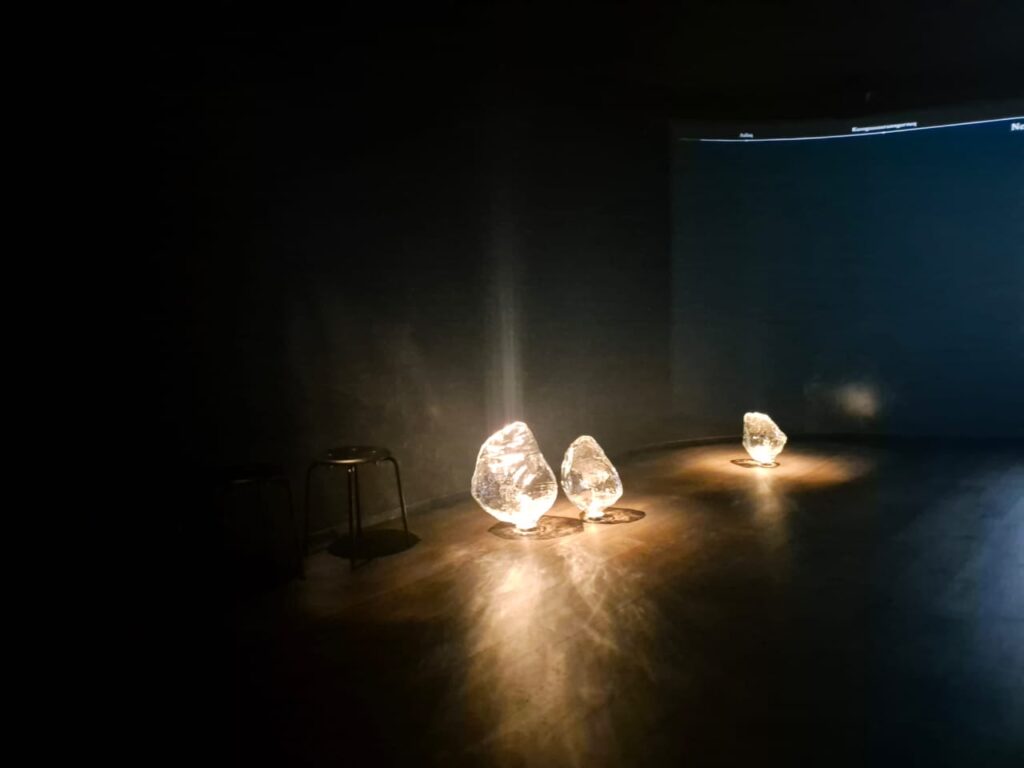
Watch this video to understand how the ice is dated. Since the ice traps air from the time its layer was formed, it is possible to analyze the air quality, composition and temperature to understand how climate has changed over thousands of years. The exhibit also correlated climate change to human events like the French Revolution when the harvest was weak, or the Great Depression. It was truly an amazing exhibit.
The Icefjord Center also had audio stations from 11 deep ice research sites across Greenland. Listening to the muffled sounds from beneath the massive ice sheet was surreal — almost like hearing the heartbeat of the Earth itself. There was also a VR recording from inside the EGRIP research station, offering a glimpse of life for scientists drilling in these extreme Arctic conditions. Truly, the center was a world-class experience in a small package.
By 12:30 p.m., we wrapped up at the Icefjord Center and went for lunch at Hongkong Café. Their vegetarian noodles and red curry hit the spot, and the views from the café were just as satisfying.
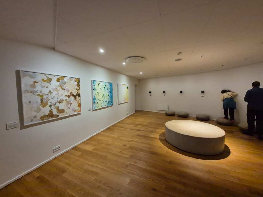
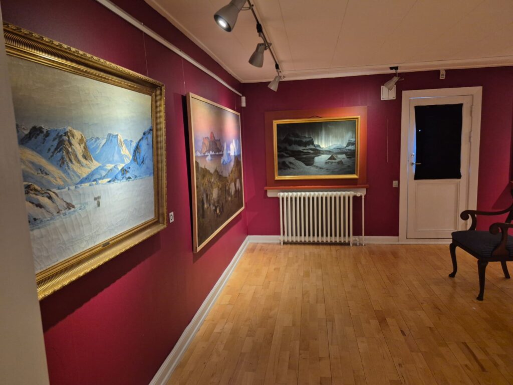
In the afternoon, I visited the Ilulissat Cultural Museum of History and the Art Museum.
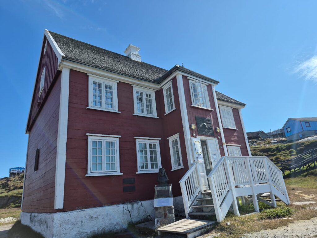
Its standout section focused on Knud Rasmussen, Greenland’s most famous polar explorer, who led five major expeditions in the early 20th century.
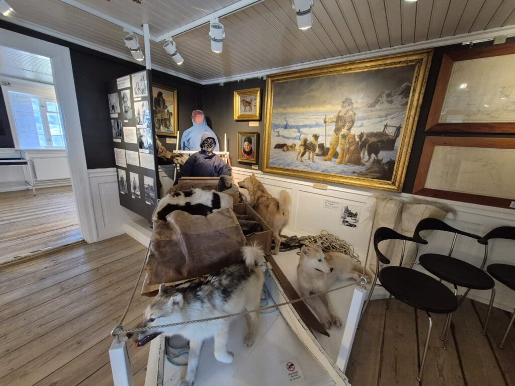
Rasmussen, often called the “Father of Eskimology,” played a crucial role in documenting Inuit culture and uniting Arctic peoples.
Born in Ilulissat to a Danish missionary father and a Greenlandic-Inuit mother, Rasmussen grew up speaking both Danish and Greenlandic, giving him a unique ability to connect with local Inuit communities. He is often called the “father of Eskimology” for his pioneering studies of Inuit culture and traditions. Between 1902 and 1933, Rasmussen led several major Arctic expeditions, the most famous being the Fifth Thule Expedition (1921–1924), where he traveled by dogsled from Greenland across Arctic Canada to Alaska. His work not only documented Inuit ways of life but also helped preserve their oral histories, myths, and legends for future generations.
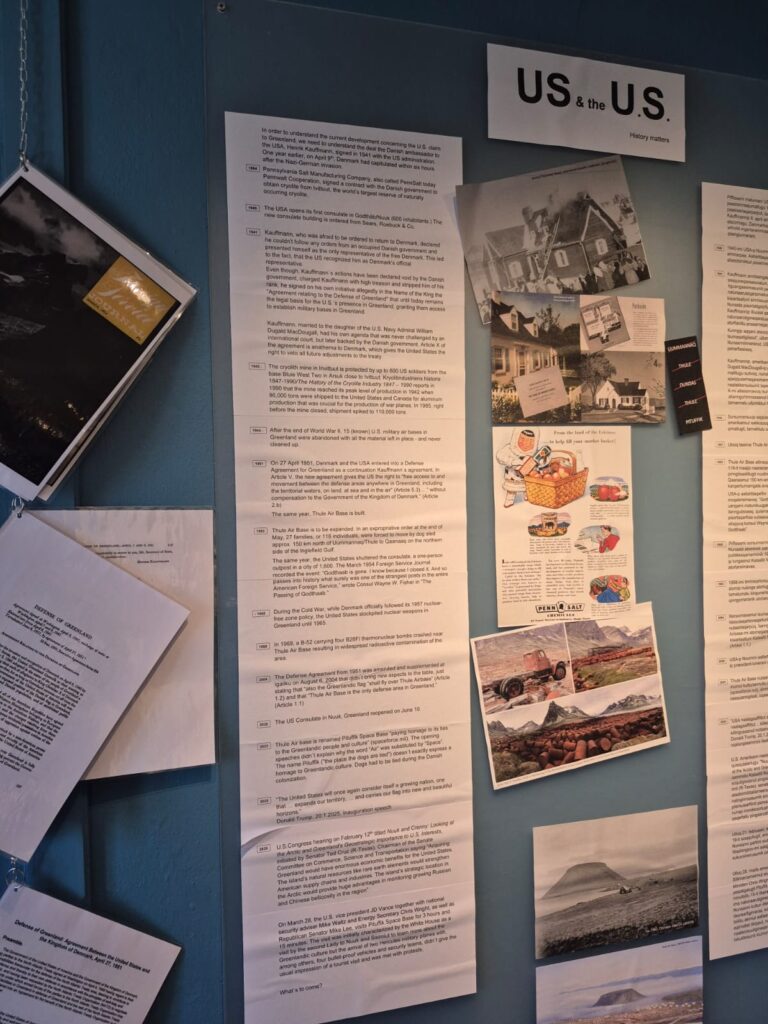
The museum also had a small but thought-provoking exhibit addressing Donald Trump’s 2019 proposal to purchase Greenland — laying out Greenland’s perspective and asserting its own identity and governance.
Next, I stopped at the Ilulissat Art Museum, located in the old colony governor’s residence, a stately building dating back to 1923.
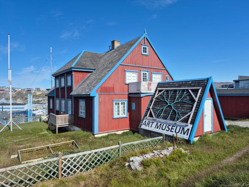
One particular piece titled The Spirit of Snow stood out — a poetic representation of the Arctic’s beauty and harshness.
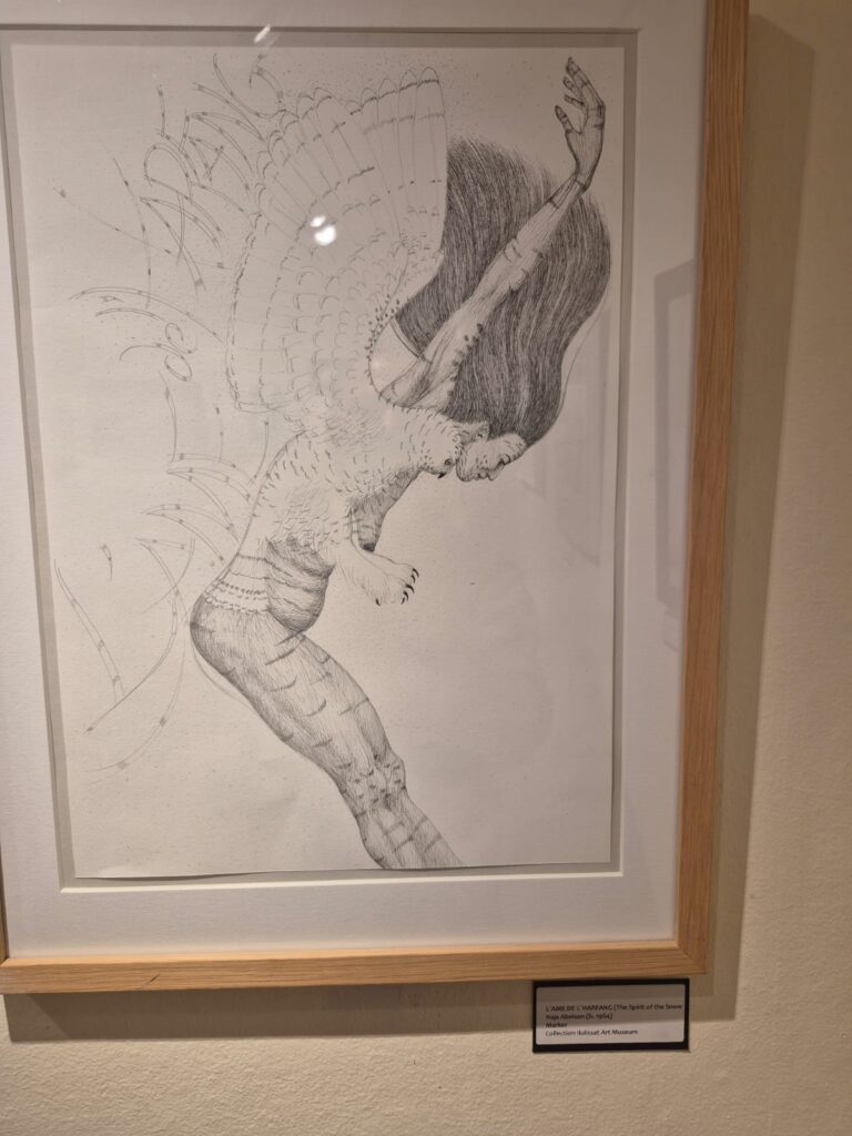
Among the collection at the museum, Emmanuel Petersen’s Greenland landscapes were the most captivating.
Another short walk brought me to Agguarfik, the first registered house in Ilulissat, built in 1741. It now hosts a small exhibit on Arctic wildlife during the polar night, exploring how species survive, reproduce, and adapt in the pitch-black months of December and January.
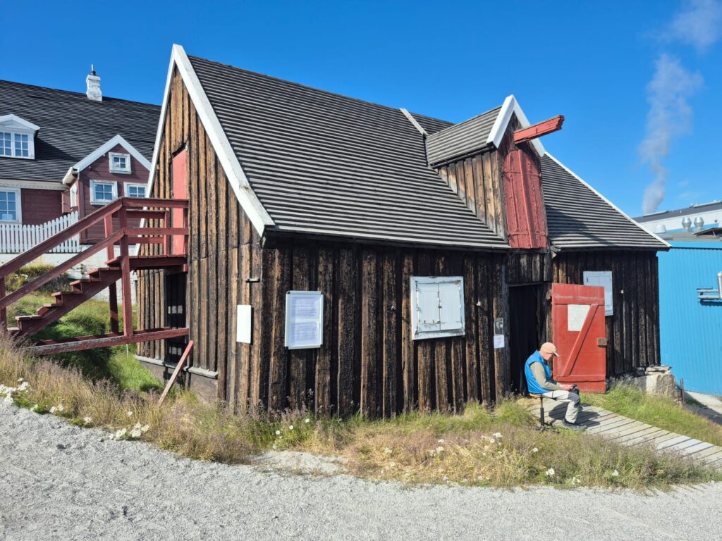
Historically, the building was known as the Black Warehouse, where royal food supplies were distributed on the Danish King’s birthday.
Built in 1741, the Black Warehouse is believed to be Ilulissat’s oldest remaining building. For more than two centuries, it played a central role in colonial life. From the mid-1770s onward, every year on the King’s birthday and at Christmas, royal food supplies (Agguutiit) were distributed to Greenlanders. The ceremony included the raising of the Danish flag, cannon fire, and a church service — followed by the handing out of food rations such as barley gruel, sugar, coffee, and ship’s biscuits.
Participation was more than symbolic; it was social inclusion. Being excluded from the royal food distribution was considered a serious punishment. The practice continued until 1966, when it was finally abolished.
Although originally built in Leverbugten (Liver Bay), the building was later moved to its current location because the original site was too hilly. Today, the Black Warehouse stands not just as a physical structure but also as a reminder of Greenland’s colonial history and the deep ties — and tensions — with Denmark.
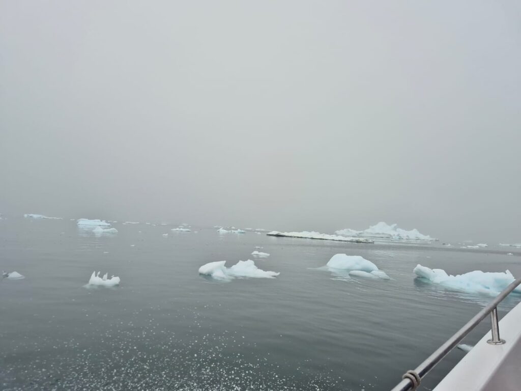
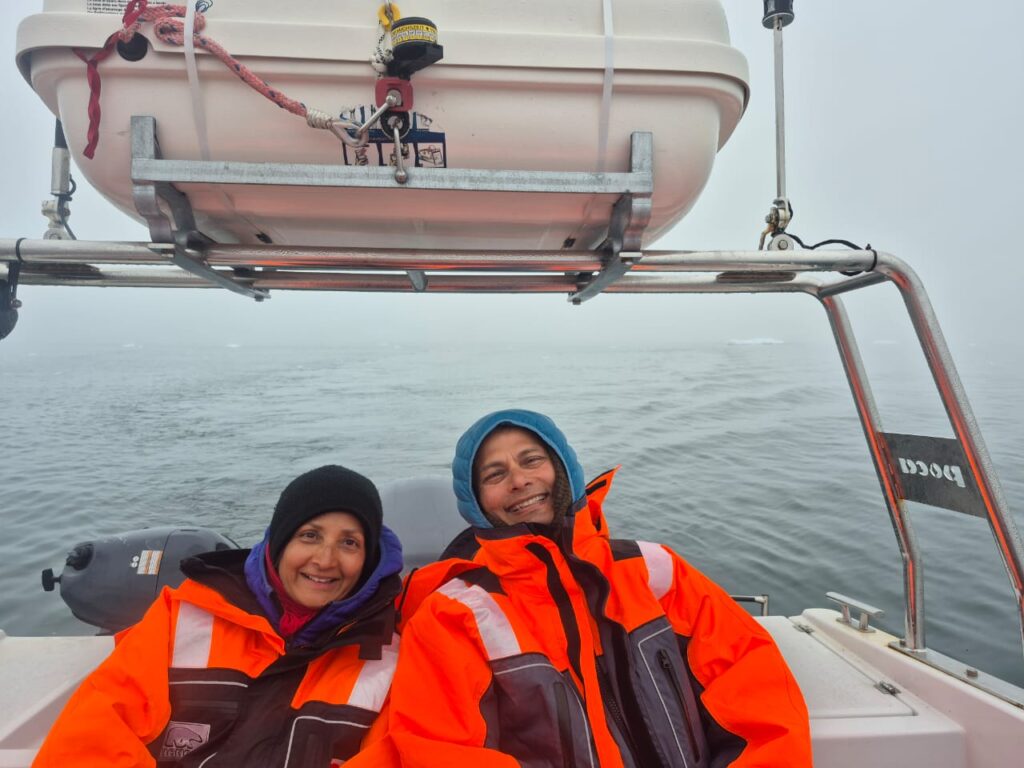
We rounded off the day with something truly special: a midnight boat cruise on the Ilulissat Icefjord.
Although fog softened the views, we still managed to get incredibly close to the icebergs. Their silent, towering presence under the dim Arctic midnight light was unforgettable.
Day 8: Flight back from Greenland to Iceland (August 1)
It was a rainy day. But we managed to see Zion’s church as we picked up our lunch for our flight.
Zion’s Church (Zions Kirke) in Ilulissat was built in 1779 and is one of the oldest wooden buildings in Greenland. For many years, it was also the largest church in the country. Overlooking Disko Bay, it has a striking black-brown exterior with white trim, built with timber shipped from Scandinavia.
The church has long been a hub for the community, hosting services, weddings, and gatherings. Inside, its simple wooden pews and modest décor reflect both Danish colonial style and Arctic resilience. Today, Zion’s Church remains an active parish and a peaceful reminder of Ilulissat’s history.
This is the oldest church in Greenland, built in 1779. When it was built, it was the largest building in Greenland.
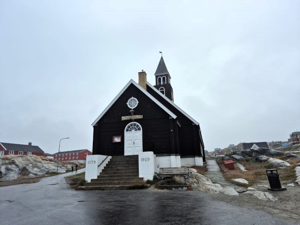
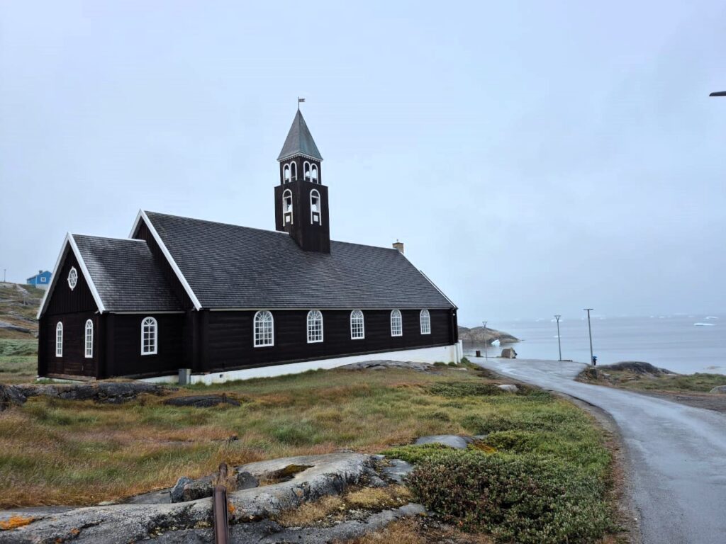
It is in an incredible setting – on the cliffs high above the endless sea of icebergs floating in front of the Ilulissat Icefjord and into Disco Bay, and then the open ocean.
We came to the airport at 12.20 pm for our 2.10 pm flight from Ilulissat, Greenland to Reykjavik, Iceland.
It was the end of a wonderful trip to Greenland.
What we carried back was more than photos or souvenirs. Greenland, with its ice and silence, its resilience and humility, had carved itself into our memory.


