

Day 1: Saturday, July 11 — Arrival in the Galápagos
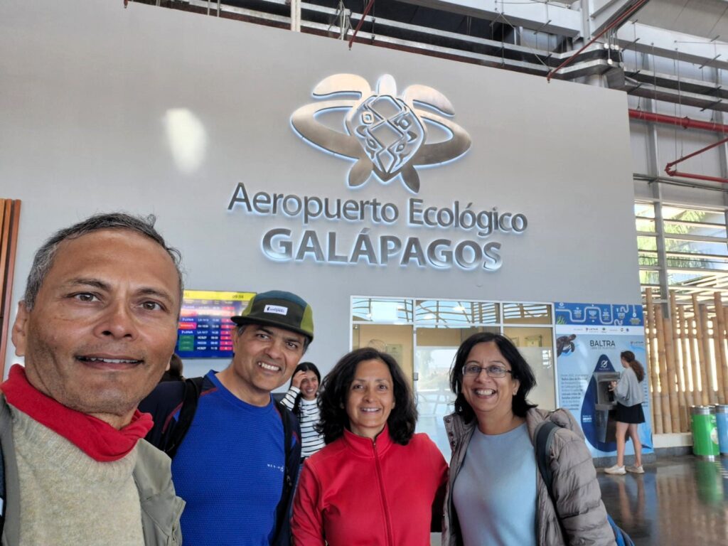
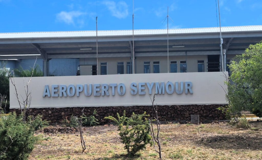
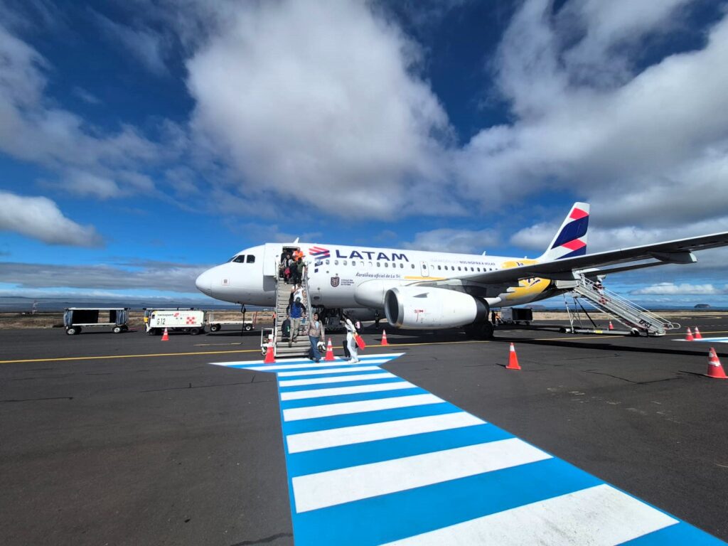
Our Galápagos adventure kicked off early in the morning with a flight from Quito, Ecuador to Seymour Airport on Baltra Island.
The Galápagos Islands are an archipelago about 600 miles (1,000 km) off the coast of mainland Ecuador, and they are officially part of Ecuador, although they feel completely separate from the rest of the world. Volcanic, wild, and deeply preserved, this archipelago is made up of 13 main islands and dozens of smaller ones. Each has its own ecological character and unique wildlife.
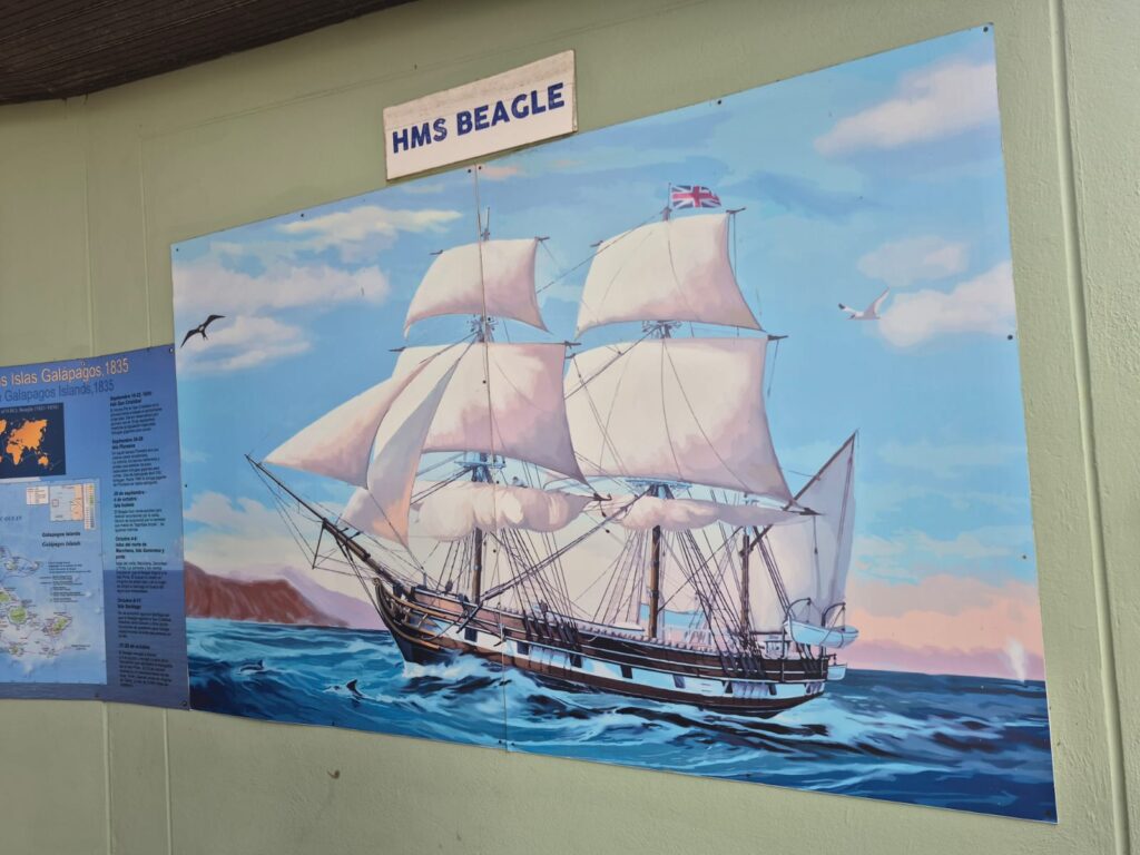
Galapagos was specially on my list since the 1990s when I had spoken to my friend Bob Widman who had gone diving in the Galapagos Islands. I was also fascinated by Galapagos because Charles Darwin had visited these islands for 5 weeks in 1835. Observations on how various species had developed differently on various isolated islands were an important part of his book “Origin of Species” which postulated the theory of evolution, also known as the theory of natural selection.
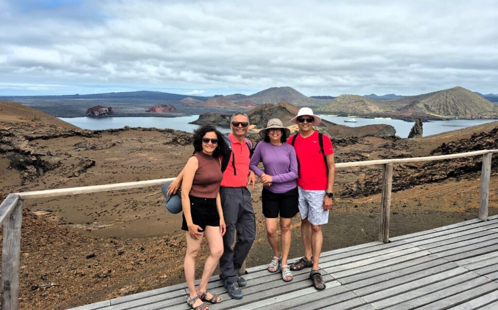
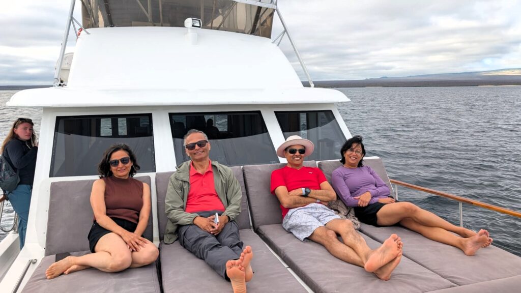
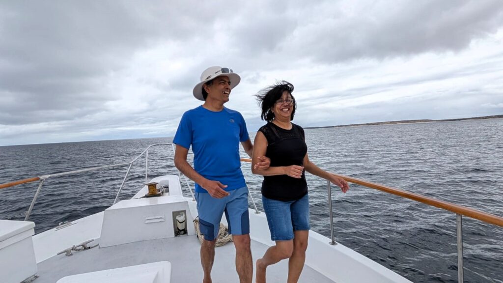
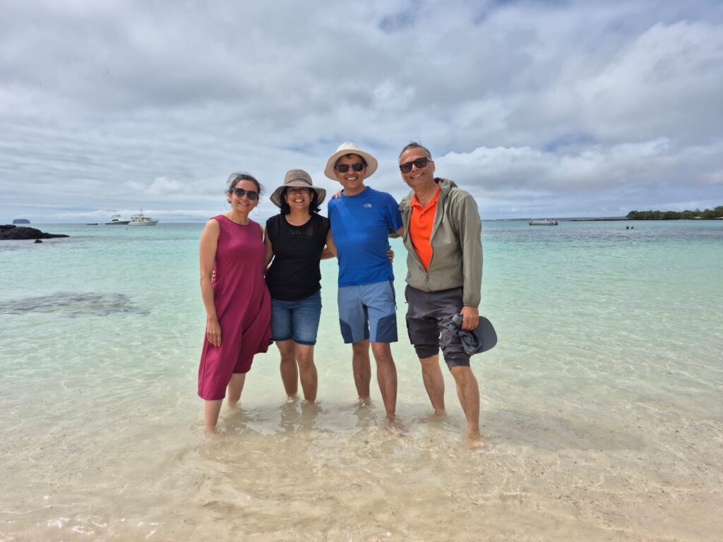
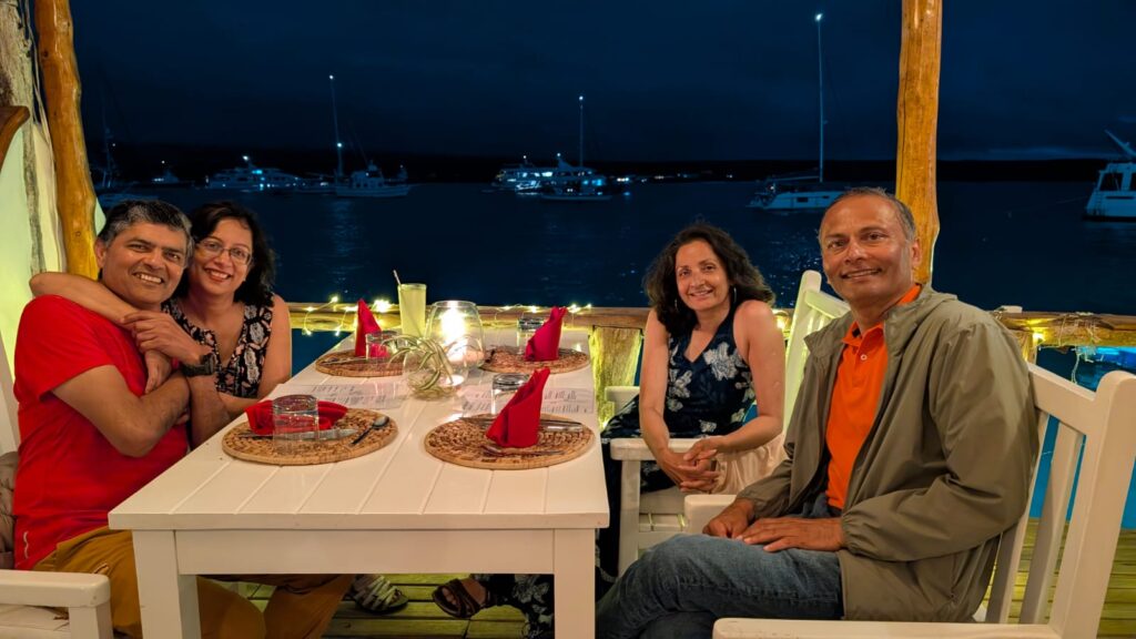
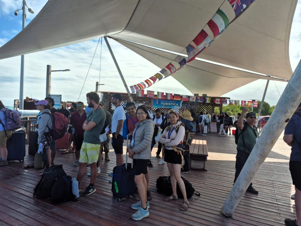
Traveling with Anu and our close friends Jai and Jyoti Rawat, we landed around 9:30 AM local time (Galápagos is one hour behind Quito). The moment you land, you feel like you’ve entered a special zone. There’s a strict protocol: bags are scanned for biological material, and you’re hit with a steep—but understandable—$200 per person conservation fee, which goes toward protecting the fragile ecosystems of the islands.
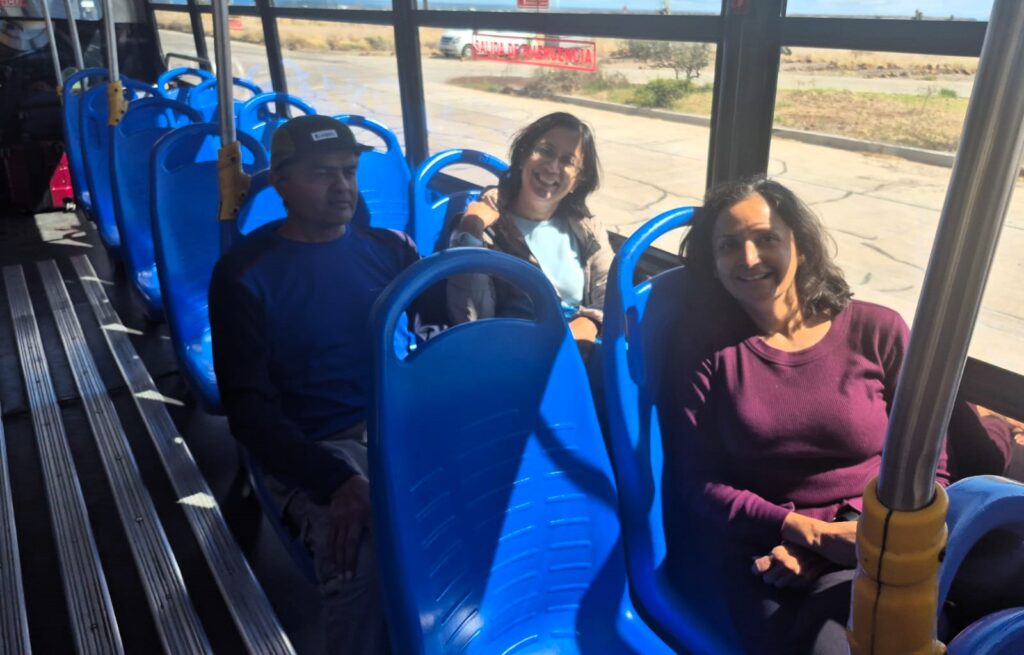
From the airport, we boarded a $5 shuttle bus to the ferry terminal.
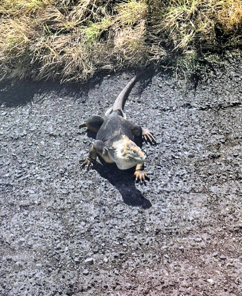
Along the way, we saw something you don’t normally see—an iguana crossing the road. Literally. There are official road signs for iguanas here, and we even managed to snap a photo of one crossing as we passed by in the bus.
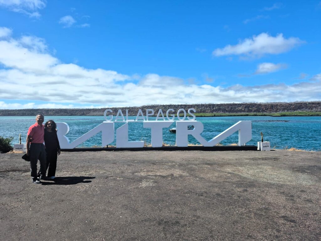
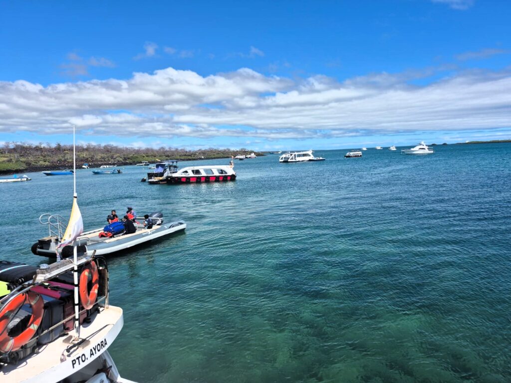
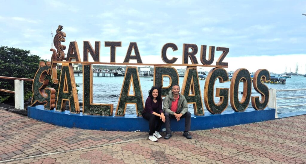
A short ferry ride ($1 per person) took us from Baltra Island to Santa Cruz Island, which would serve as our home base for the next few days.
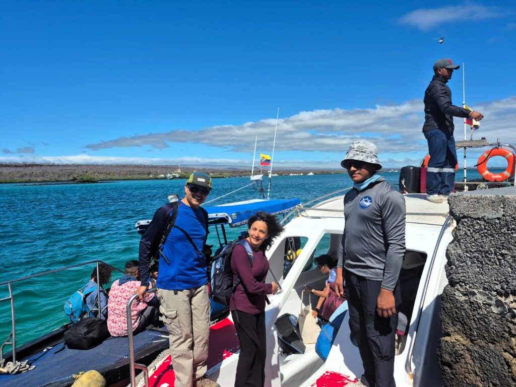
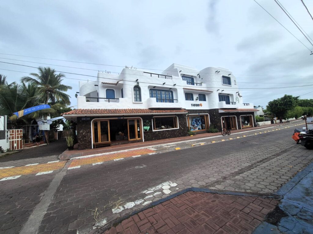
From the ferry terminal, our hotel had arranged a taxi to drive us into Puerto Ayora, the island’s main town.
On the way, we made a stop at Los Gemelos, or “The Twin Craters.” These aren’t craters in the volcanic sense but are actually large sinkholes formed by the collapse of underground magma chambers. They sit at the highest point of Santa Cruz Island, around 600 meters above sea level, and mark a distinct change in climate and vegetation.
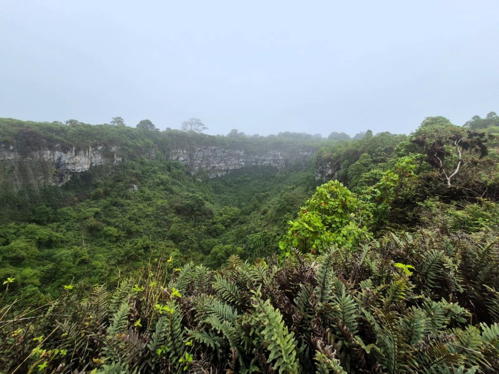
The area is part of the Scalesia cloud forest, a rare and humid highland ecosystem that supports species not found in the drier lowlands. It’s one of the few places on the island where you’ll see lush forests, moss-covered trees, and endemic birds like the Galápagos flycatcher, short-eared owl, and multiple species of Darwin’s finches (similar to sparrows).
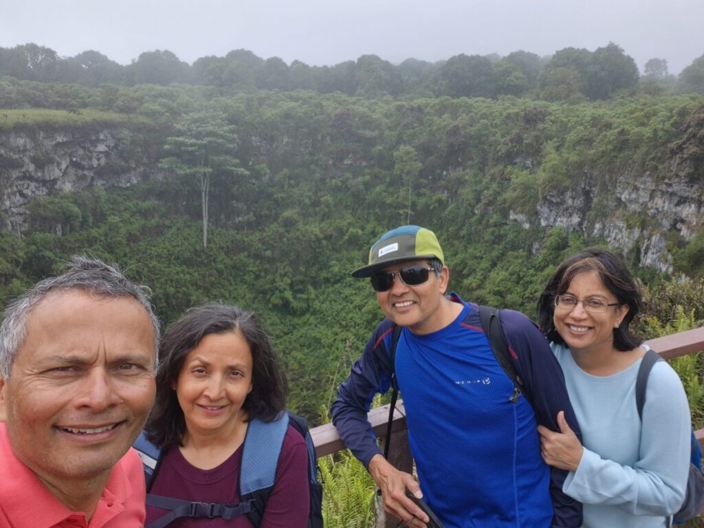
There are short walking trails with viewpoints at both sinkholes, and it’s a common stop on the route between the airport and Puerto Ayora. The contrast between this misty, green environment and the arid coast is striking—and a good reminder of how ecologically diverse even a single island in the Galápagos can be.
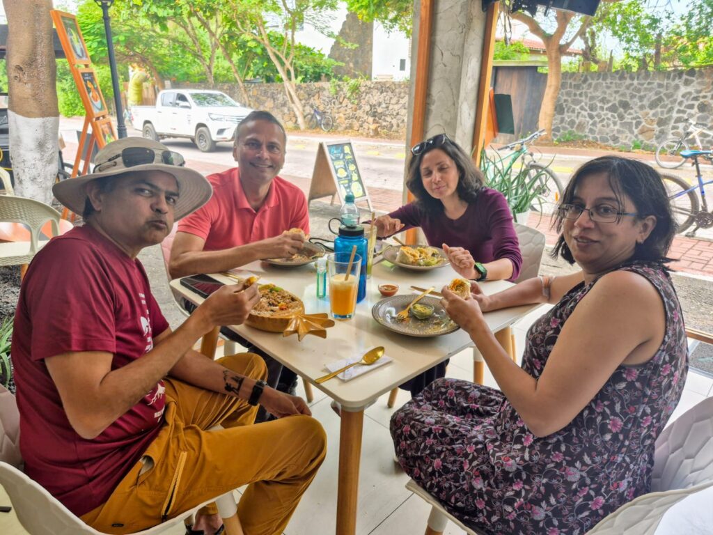
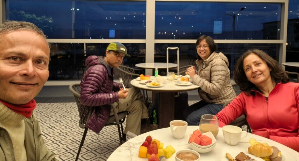
We reached Puerto Ayora and had lunch at a small acai bowl place—not bad, but nothing to write home about. It was good to eat something healthy since we had been eating non-home food for a couple of months.
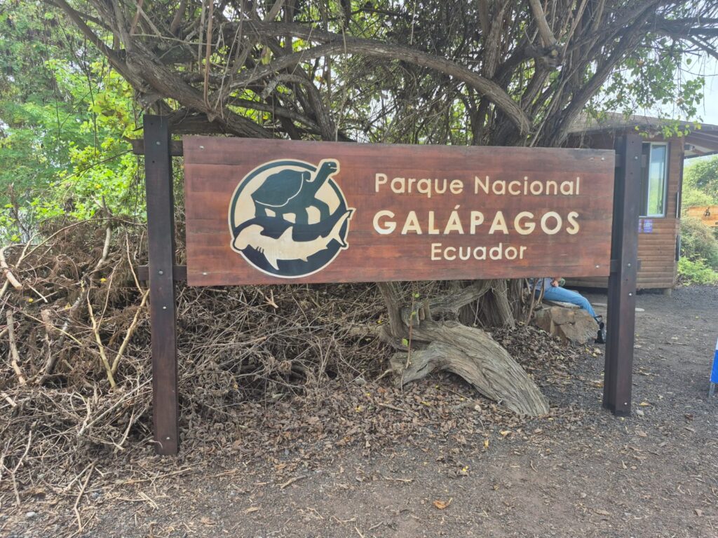
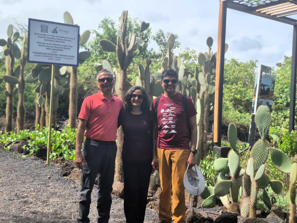
After lunch, we took a walk through the Galápagos National Park zone toward the Charles Darwin Research Station.
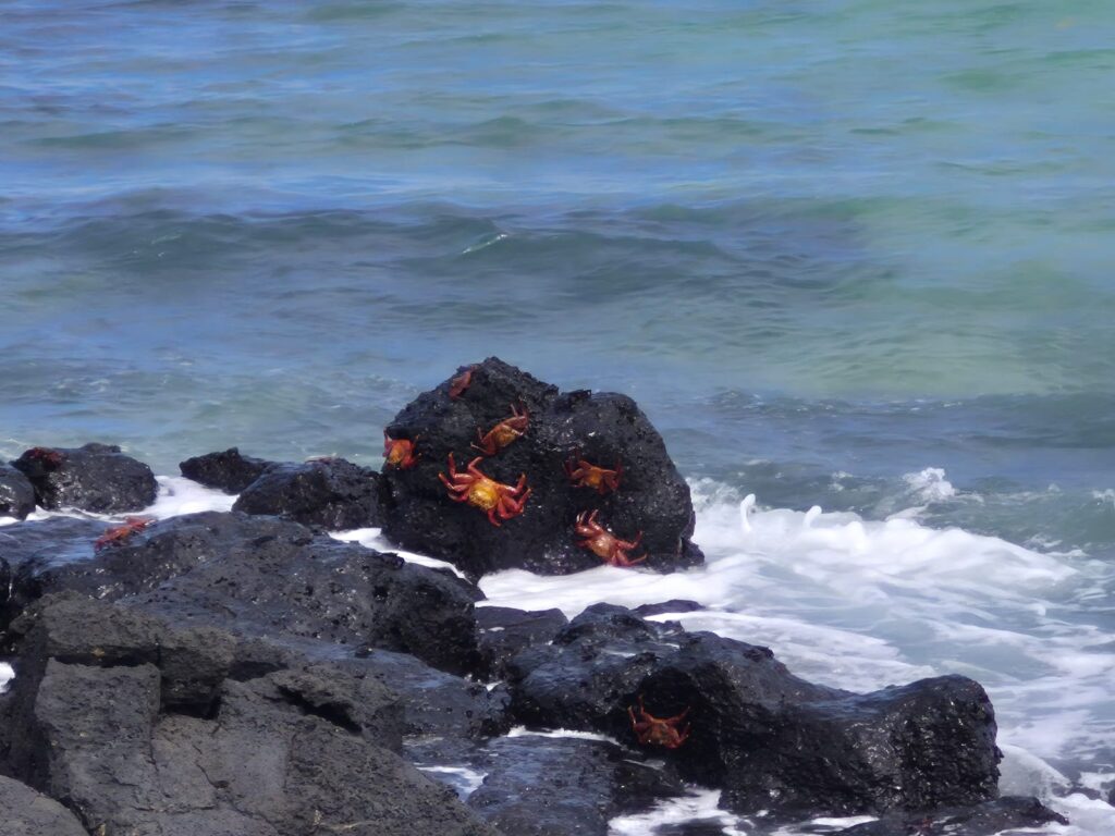
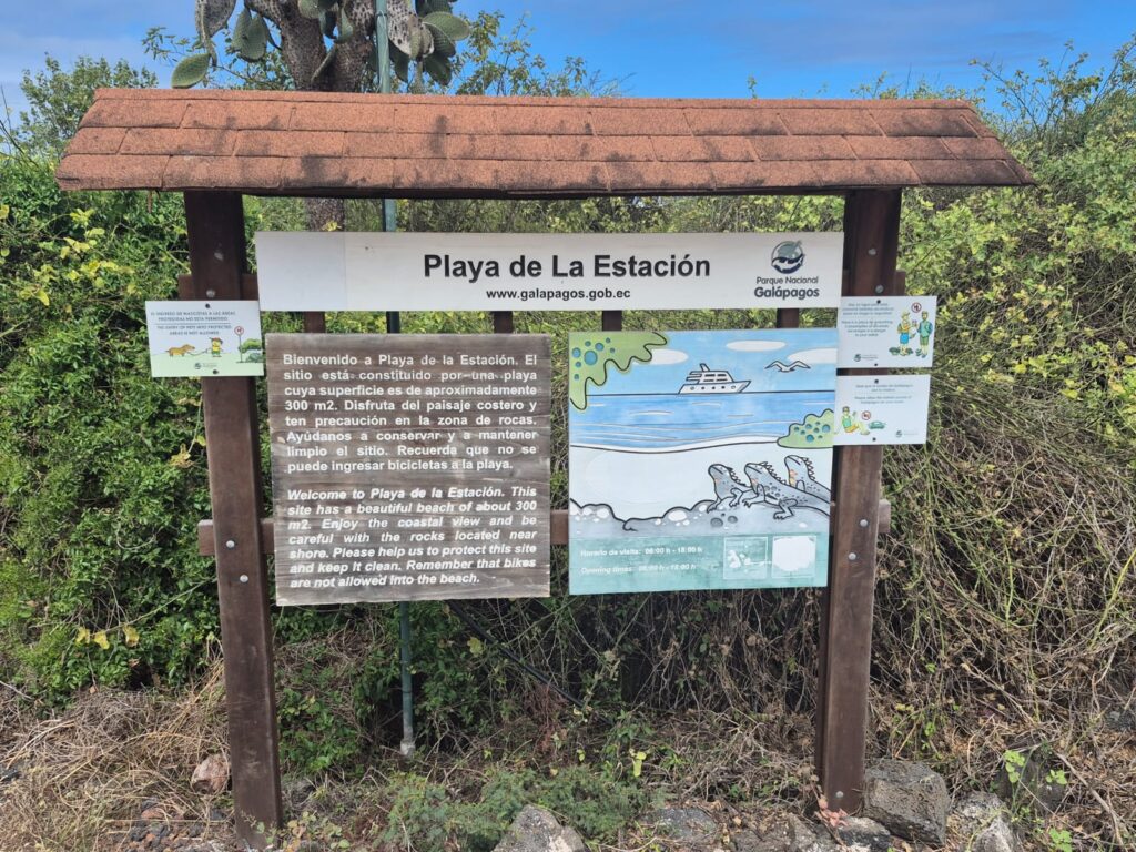
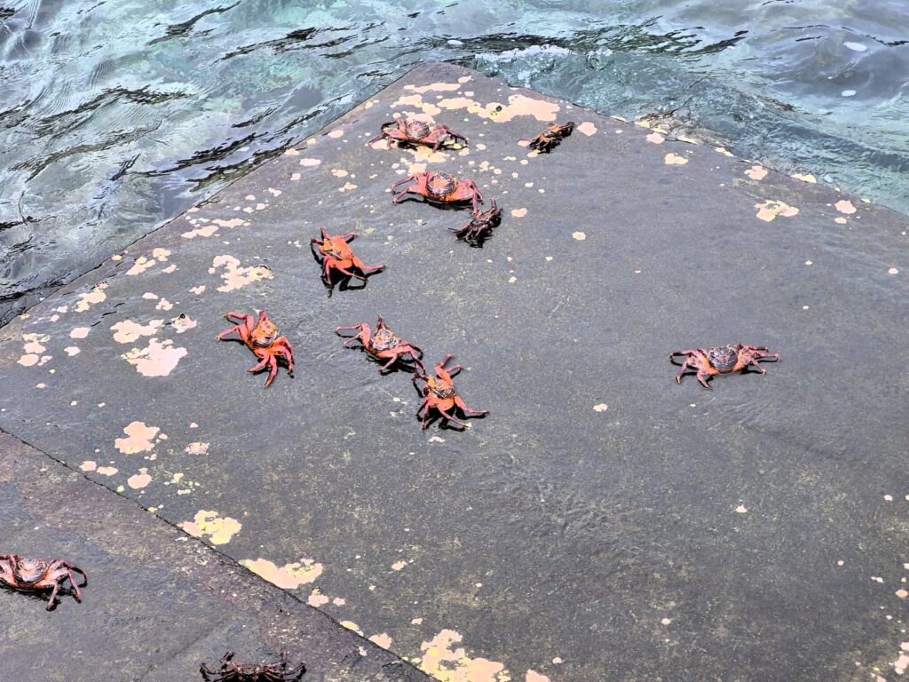
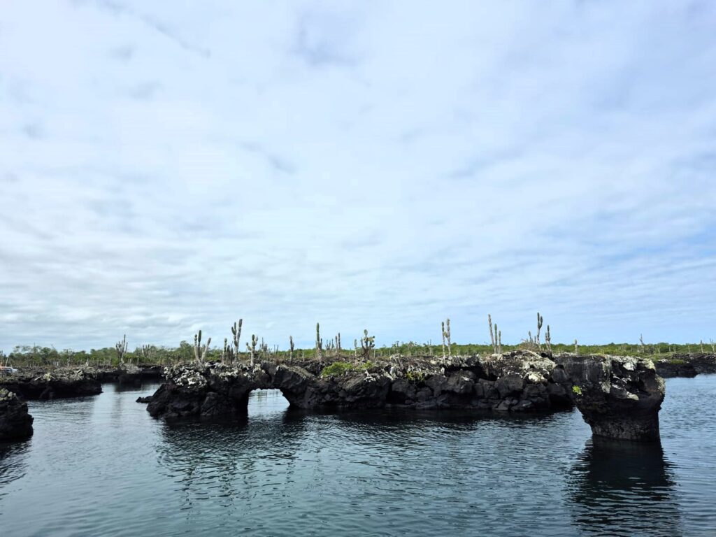
On the way, we stopped at a small beach known as Station Beach, 300 square meters at most, but teeming with marine iguanas and colourful Sally Lightfoot crabs.
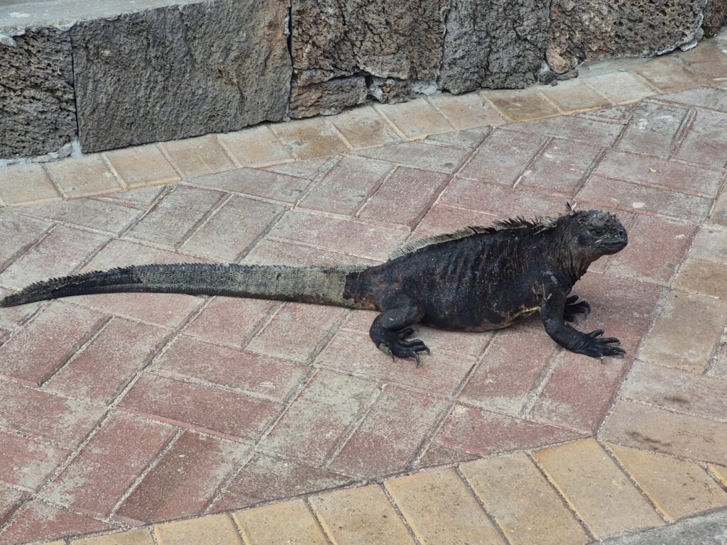
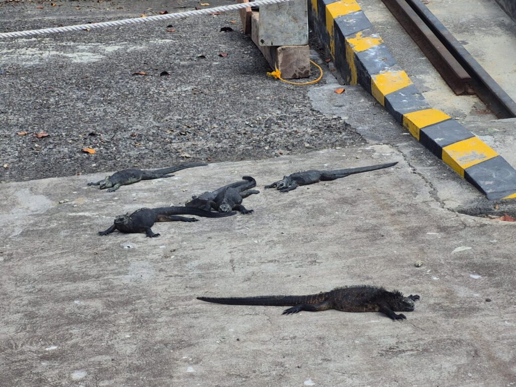
Iguanas are extremely common here, and what’s fascinating is how little they care about humans. There’s no fear—it’s as if we’re invisible to them. This is because in the Galapagos islands, birds, reptiles and animals are protected. So they are not afraid of humans. This is a learned trait.
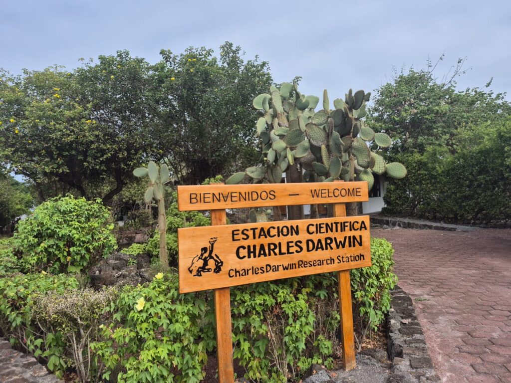
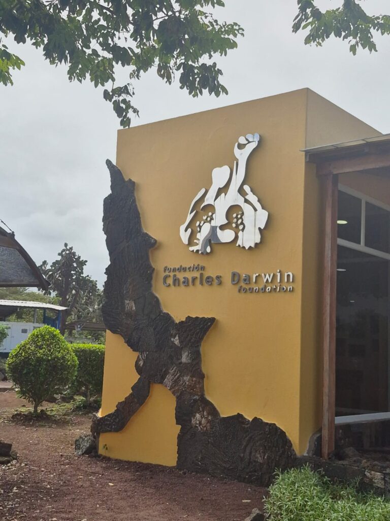
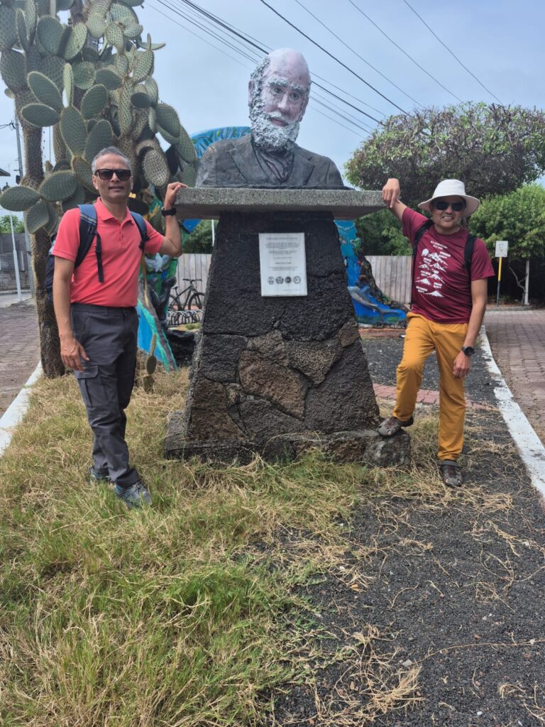
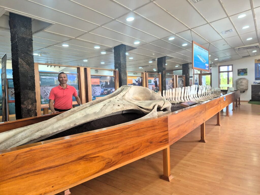
We continued to the Charles Darwin Research Station, one of the most significant scientific centers in the islands. Here, Darwin’s presence looms large. We saw a large reconstructed whale fossil.
Charles Darwin visited the Galápagos Islands in 1835 as part of his five-year voyage aboard the HMS Beagle. He spent about a month exploring several of the islands, collecting specimens and recording observations. Because the Galápagos are 600 miles from the mainland, species here had evolved in isolation. Darwin noticed that animals like finches and tortoises varied slightly from island to island—differences that later helped him develop his theory of evolution by natural selection. These ideas would eventually be published in his groundbreaking 1859 book, On the Origin of Species. Today, the Charles Darwin Research Station in Puerto Ayora continues the work of conservation and scientific research inspired by his legacy.
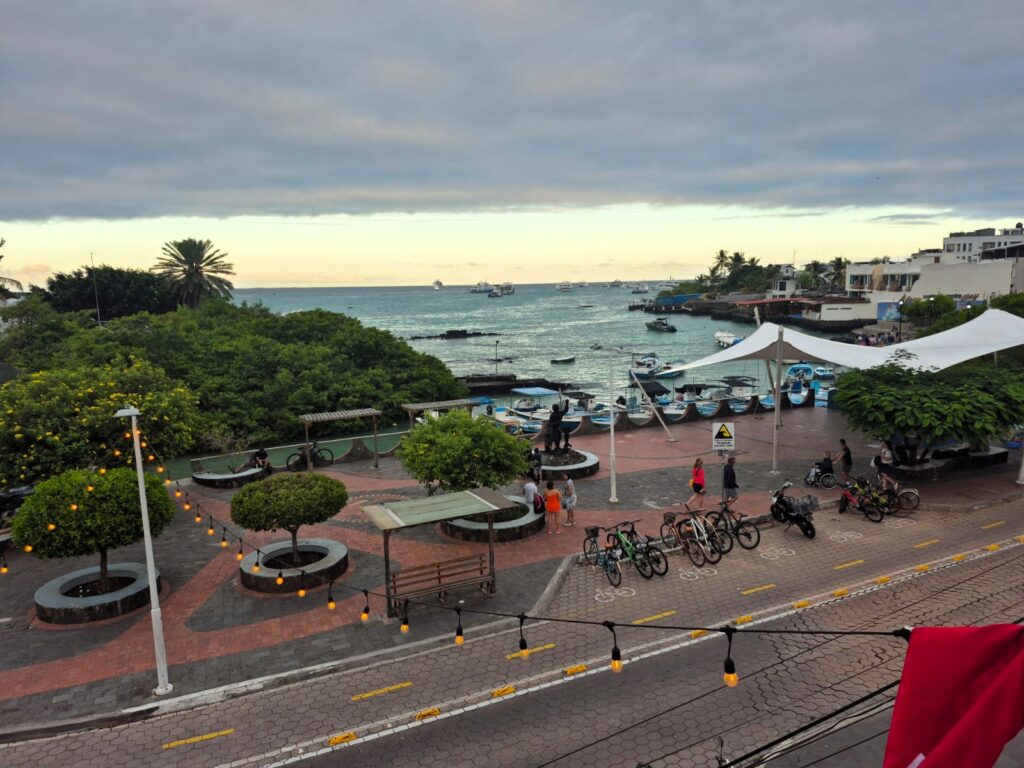
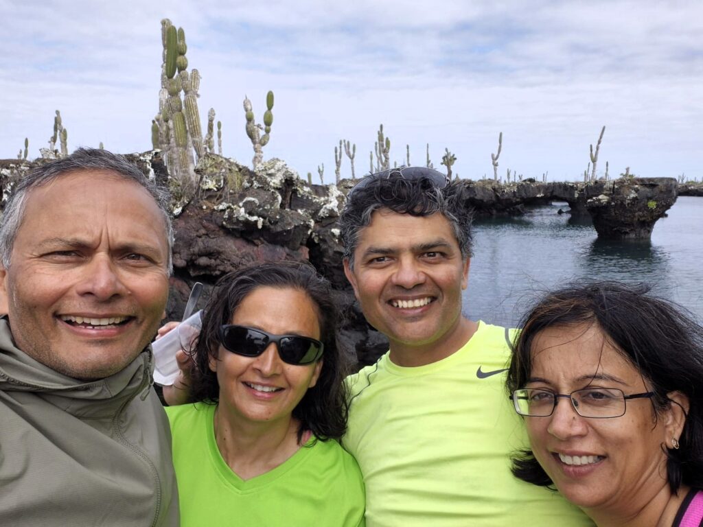
We walked back to town along the waterfront, passing Pelican Bay and several local art galleries and jewelry shops. We took some touristy pictures.
It’s interesting—despite being a hub of science and conservation, Puerto Ayora has a vibrant tourist vibe too, with plenty of places to shop or just take in the ocean views.
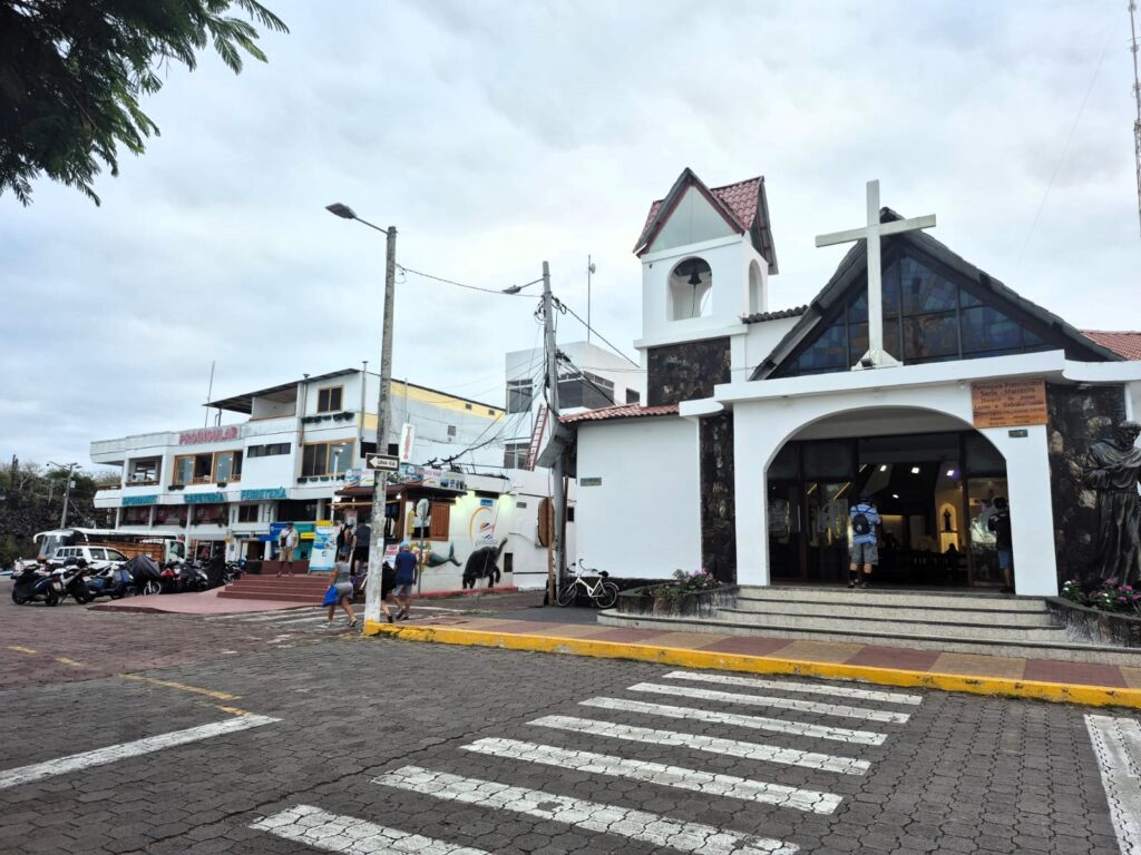
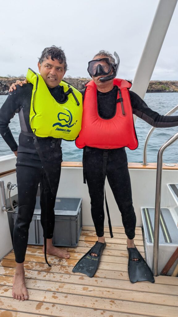
We passed the charming St. Marianna Church, and then made a stop at Galápagos Blue Sky, the agency that would be organizing our tours to the other islands over the next few days. They gave us our wetsuits, which we’d need for snorkelling in the cold waters of the Pacific.
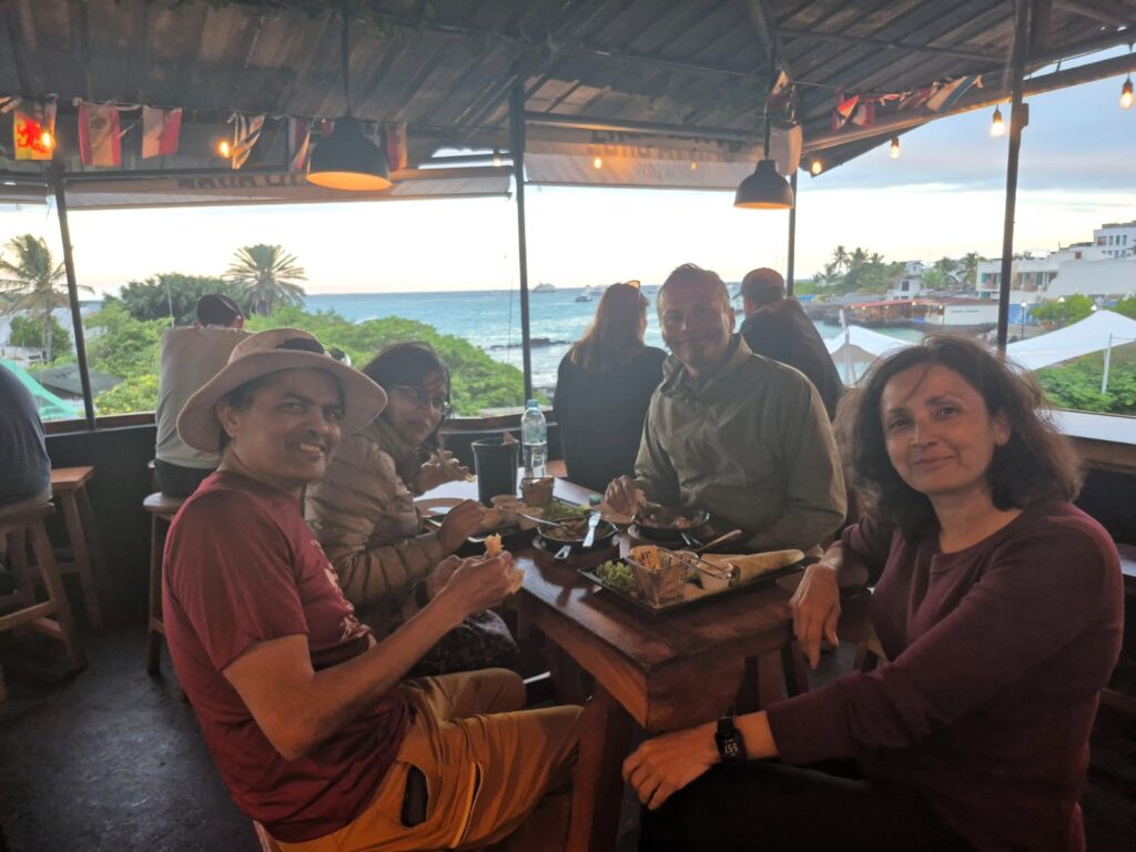
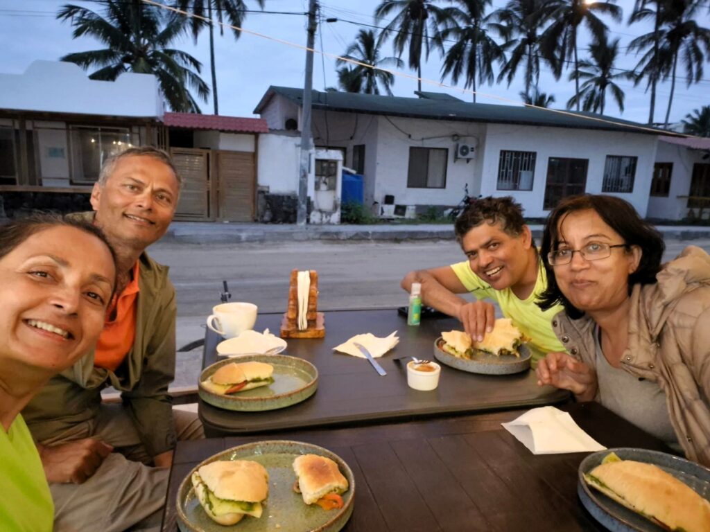
Dinner was at a local Mexican restaurant where we had vegetarian fajitas. Afterward, we took a $2 taxi ride back to our hotel, Descanso del Guia (which translates to “The Guide’s Rest”). Interestingly, all taxi rides in the town of Puerto Ayora are $2. Dollar is the official currency of Ecuador and hence, the Galapagos islands.
We got back around 7 PM and decided to turn in early—rested and ready for our first full island excursion the next day, to the legendary Bartolomé Island.
Day 2: Sunday, July 13 – Bartolomé Island Adventure
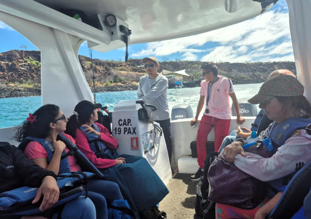
We had an early start to the day. By 6:50 AM, the four of us were at the meeting point, ready for our first full-day island excursion.
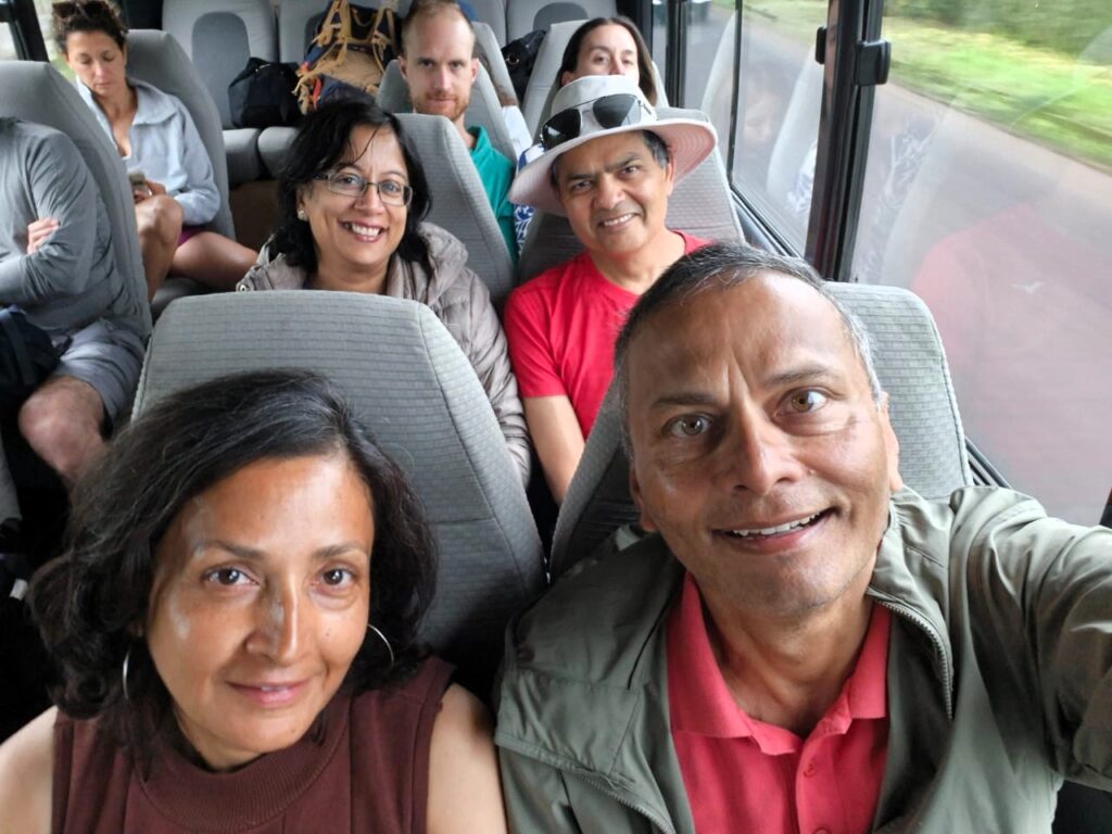
We were joined by six other travelers, and together we headed out in a small bus to the Itabaca Channel ferry terminal. This channel separates the islands of Baltra and Santa Cruz and serves as a key launch point for island tours.
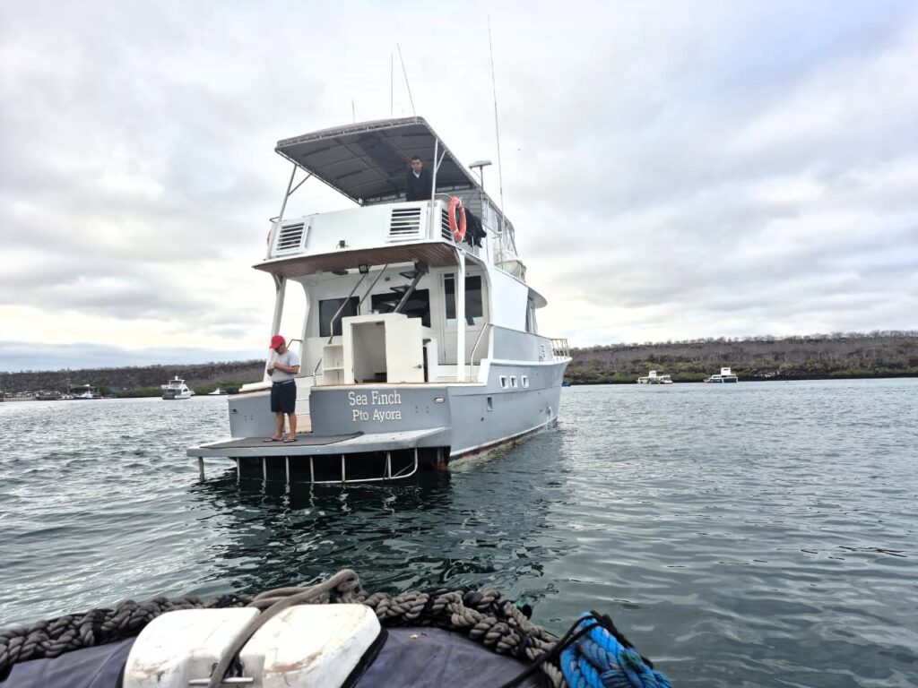
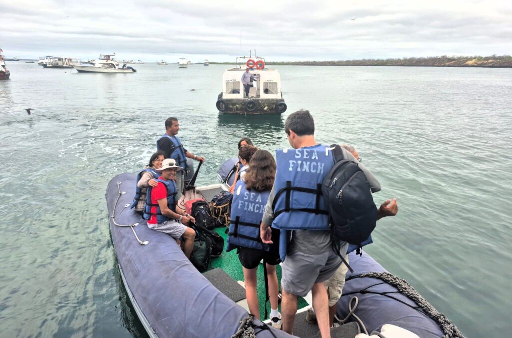
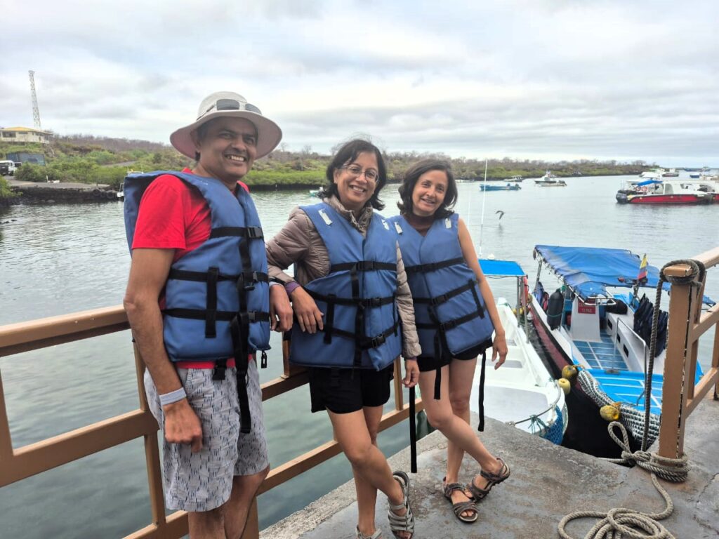
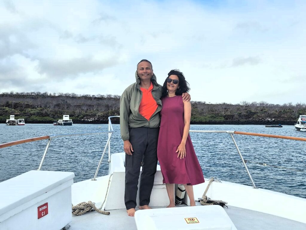
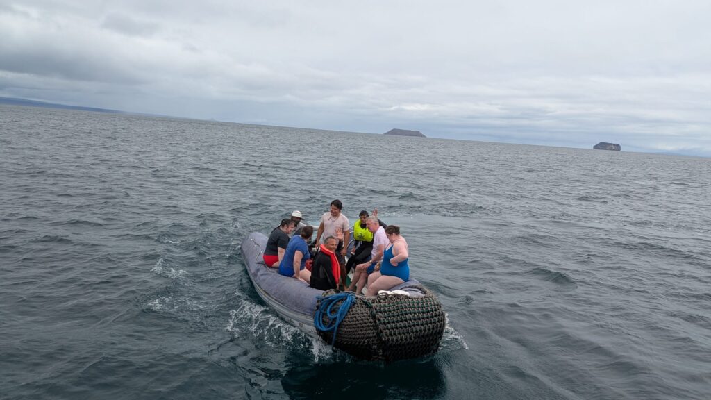
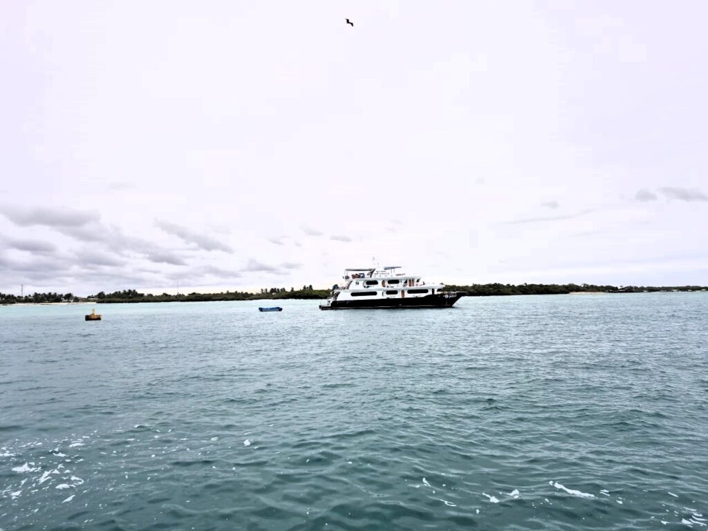
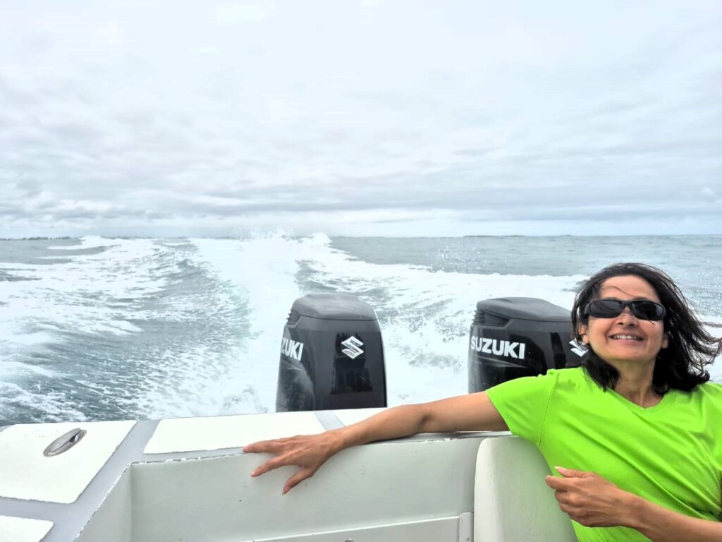
From the terminal, we boarded a Zodiac (an inflatable boat), which took us out to our yacht for the day: the Sea Finch. The moment we stepped aboard, we knew we were in for a comfortable ride.
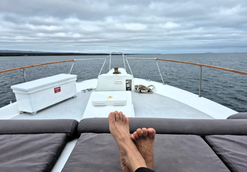
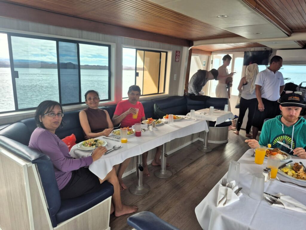
The yacht was well-equipped, with a spacious open-air deck and comfortable indoor seating. We were served snacks, meals, and drinks as we cruised toward our destination.
As we cruised through the Pacific, we passed Daphne Major, a small volcanic island with a striking crater formed by an ancient eruption. The landscape reminded us just how young and geologically raw these islands are.
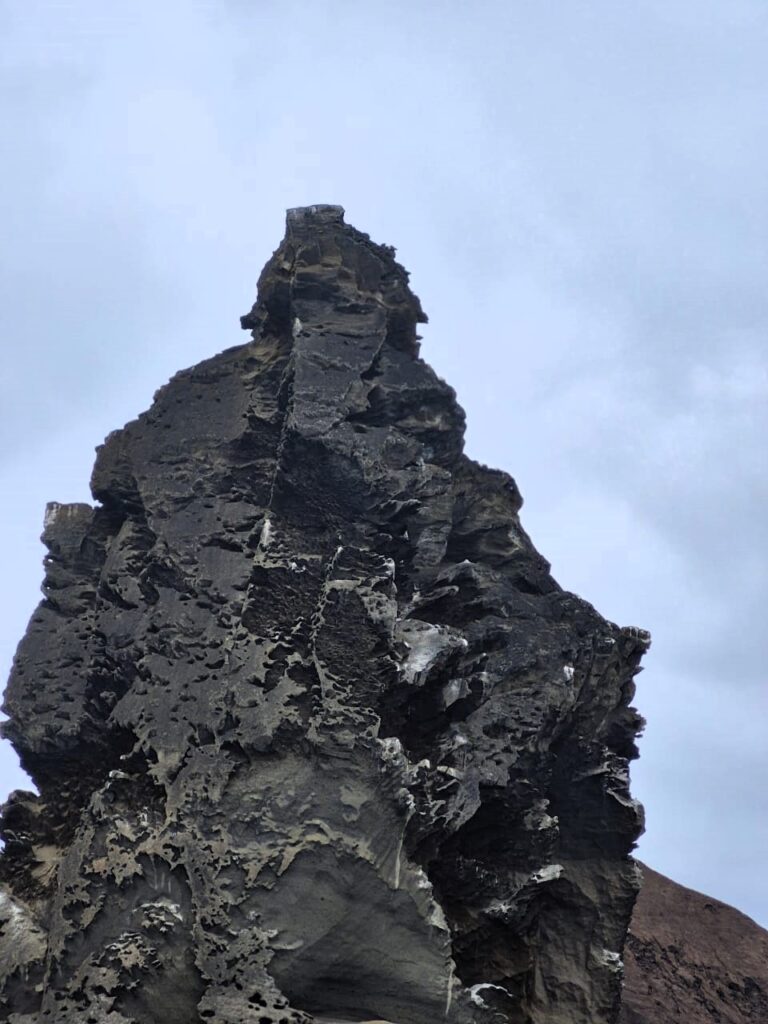
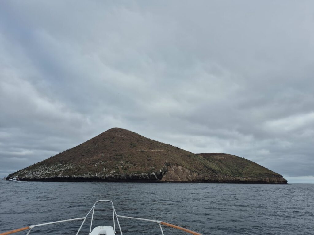
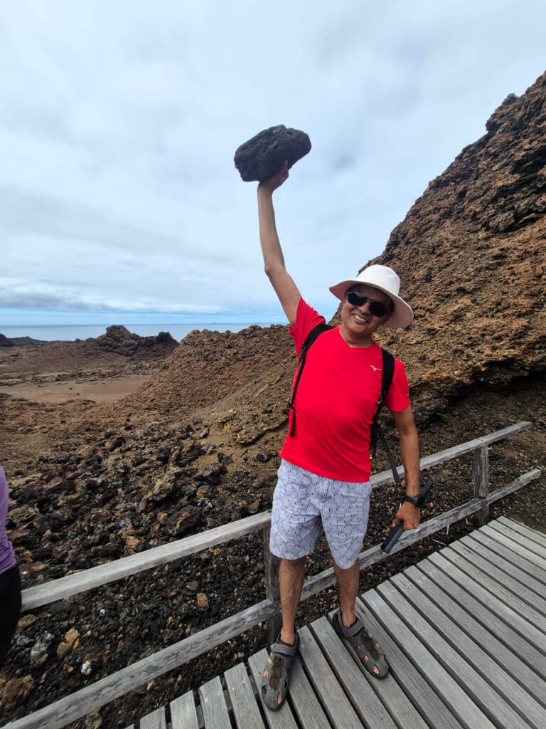
Our destination for the day was Bartolomé Island, one of the most photographed spots in the Galápagos. The island is best known for Pinnacle Rock, a tall, jagged lava formation rising dramatically out of the ocean. From one angle, it looked almost like a Ganpati idol, which made it even more memorable for us.
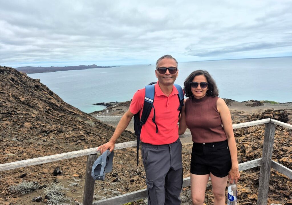
We disembarked on Bartolomé and started our hike to the top of the island. This whole island was born from volcanic eruptions, so the trail was dry, rocky, and dusty. But the views from the top were absolutely worth it—one of the best panoramic sights I’ve ever seen.
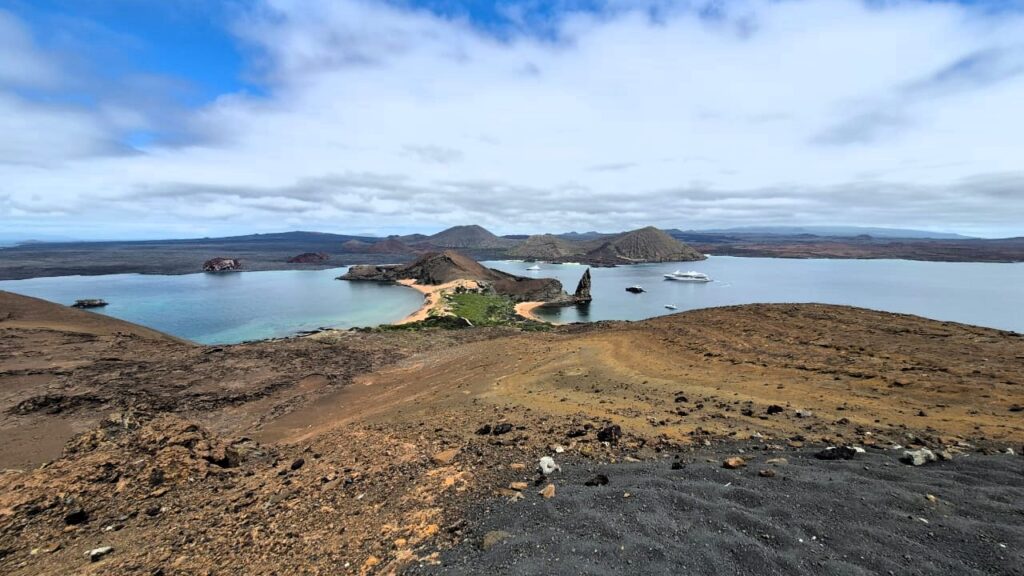
We looked out over Bartolomé itself and the neighboring Santiago Island, separated by a thin, clear blue channel.
At the top, we had a close encounter with a Galápagos hawk—sitting calmly near the viewpoint.
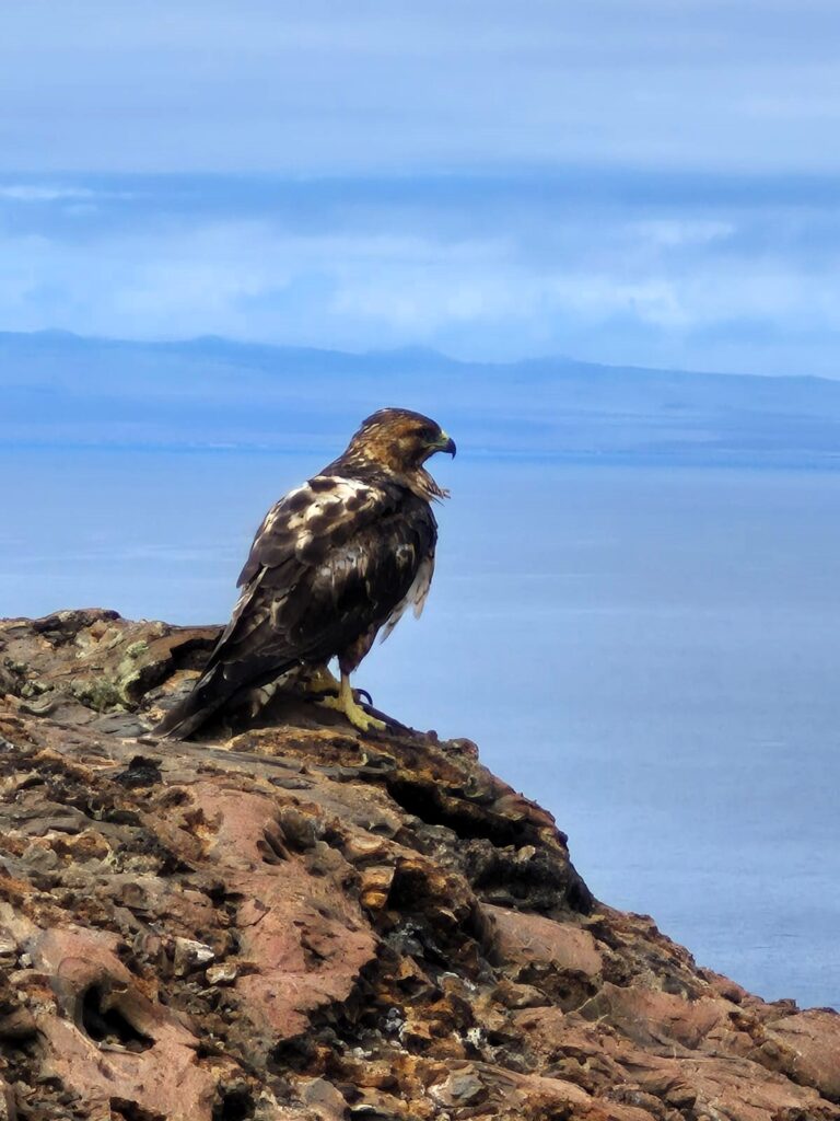
What’s amazing here is that animals don’t run away from humans. Since hunting has never been a threat, they don’t associate us with danger.
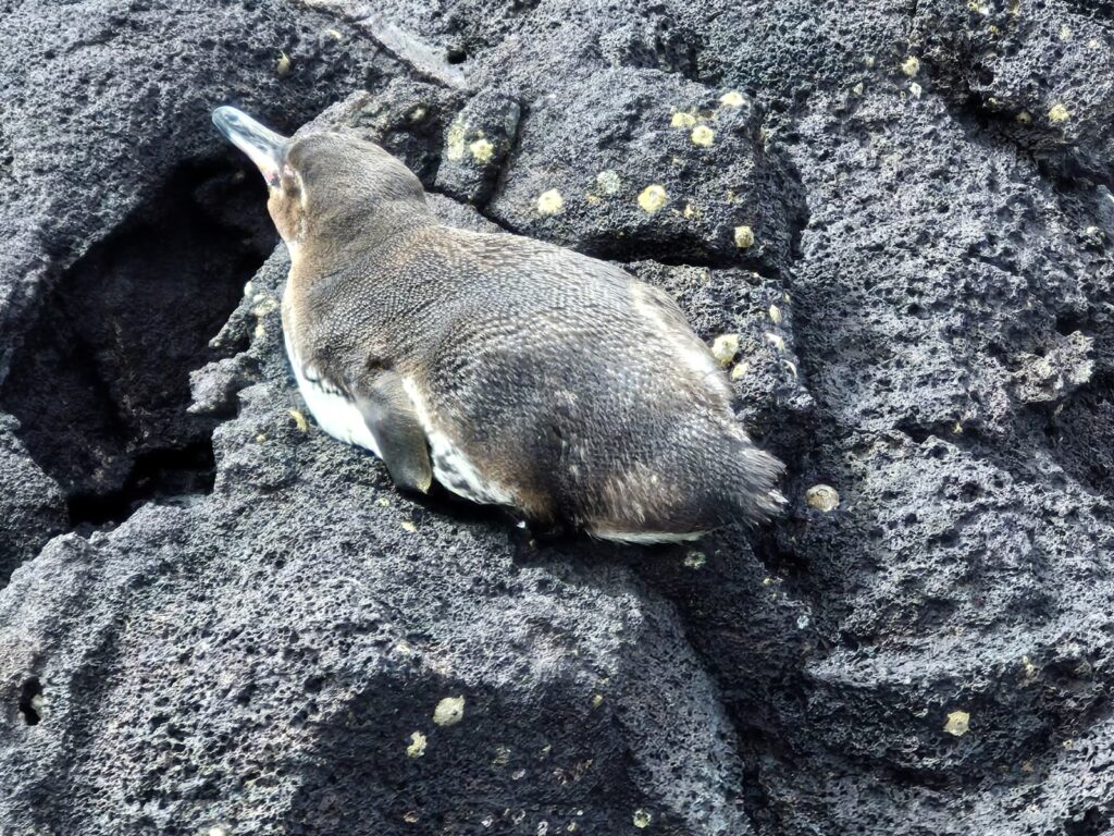
Even more surprising: we saw a baby Galápagos penguin near the water. These are the only penguins in the world that live north of the equator, made possible by the cold Humboldt and Cromwell ocean currents that keep the water temperatures low enough for them to thrive.
The terrain here is extremely barren. Since the islands are 600 miles from the mainland and were formed by undersea volcanic activity, only species that could fly, swim, or float managed to reach them—and only the toughest survived. That’s why there’s such limited vegetation and so few freshwater sources. It’s also what made this place so important for Darwin.
The species evolved in isolation, and he noticed how even the same species—like tortoises or finches—were different on each island depending on conditions. Those observations led to his famous theory of natural selection.
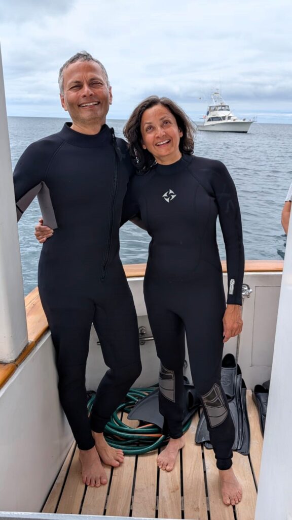
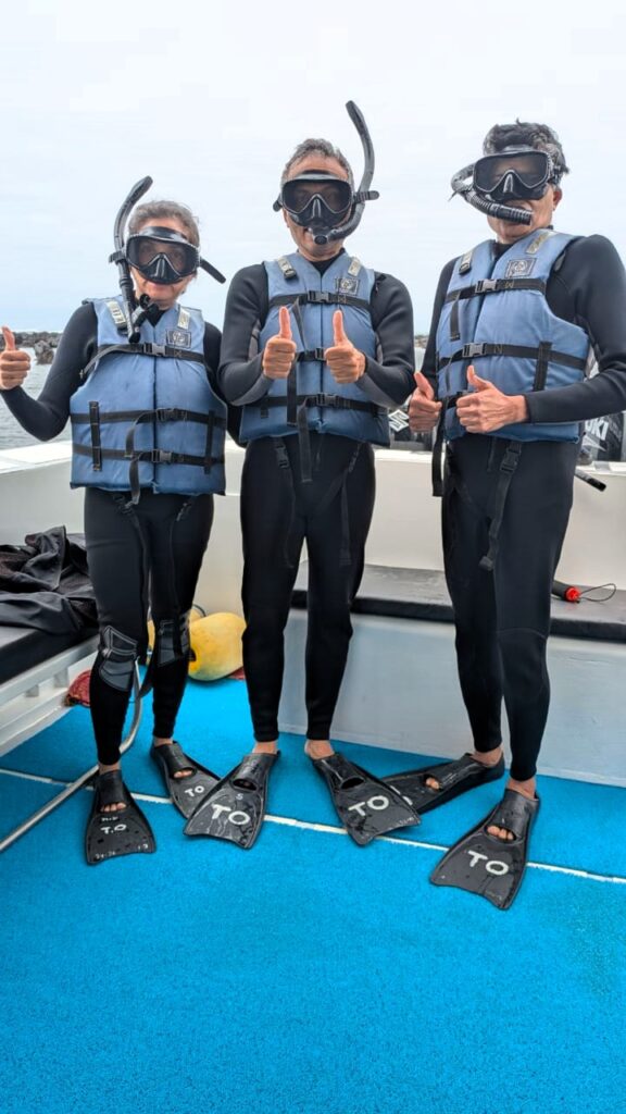
After our hike, we got back to the Sea Finch, changed into our wetsuits, and jumped into the water for snorkelling off the island. The Pacific was chilly, but the wetsuits helped us stay warm.
Below the surface, we saw coral reefs, schools of fish, and even a curious sea lion. It’s hard to describe how alive the ocean feels here—every direction you look, something is moving, feeding, or floating by.
We had a delicious lunch on board and relaxed on the yacht deck during the ride back.
We returned to Puerto Ayora by 6:15 PM and went out for a simple Mexican dinner—burritos this time. By 7 PM, we were back at Descanso del Guia, tired in the best way and already looking forward to tomorrow’s adventure.
Day 3: Monday, July 14 – North Seymour & Jyoti’s Birthday
July 14 was Jyoti Rawat’s birthday, so we had planned to celebrate it in a special way. We started the day with breakfast at 7 AM and headed to the meeting point by 7:50 AM.
Jai and Jyoti were in a fun mood right from the morning.
We went on a guided tour to North Seymour Island, located just north of Baltra Island. We took a ferry from the Itabaca Canal, and our boat for the day was once again the familiar Sea Finch.
The weather was cool but not chilly. It was quite pleasant on the yacht deck.
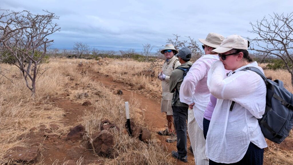
Our first activity was a walking tour on North Seymour Island, led by our guide, Ricardo.
This island had noticeably more green vegetation compared to Bartolomé, where we had been the previous day.
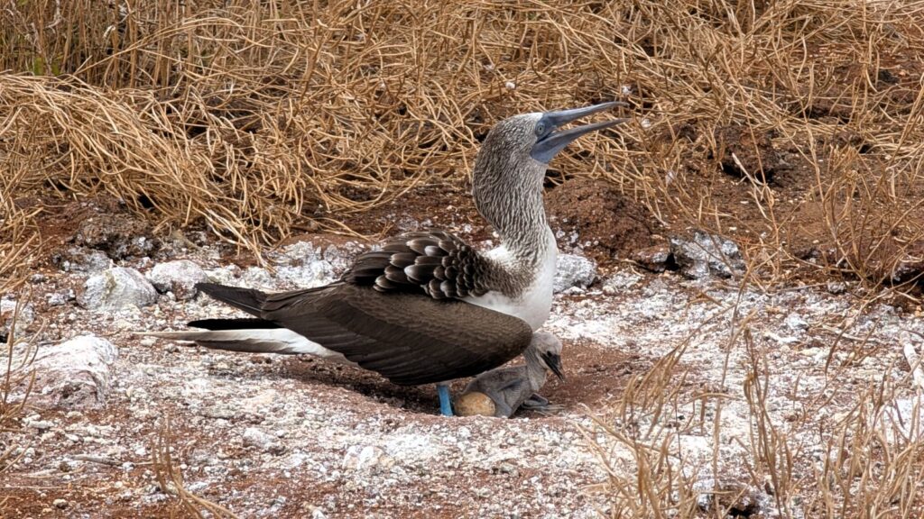
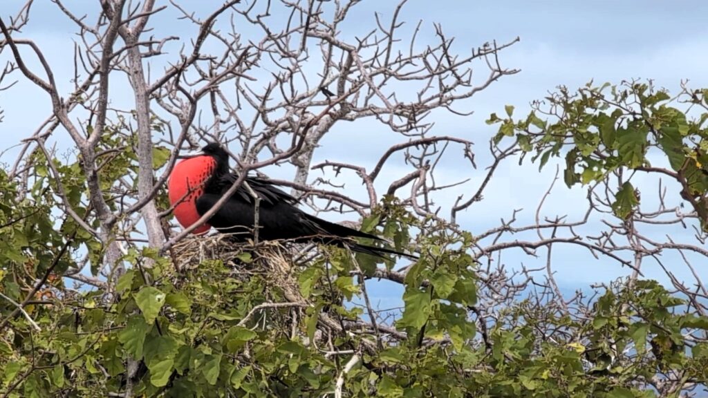
During the walk, we saw a variety of interesting wildlife. A blue-footed booby was hatching an egg, with a baby chick snuggled under the mother. We saw a red frigate bird—a male, easily recognizable by its large red pouch, inflated to attract females.
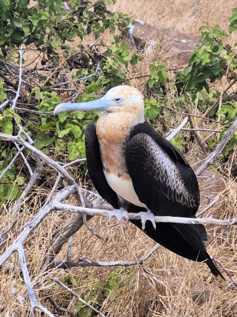
There was also a white-breasted frigate bird, which is the female of the species. A land iguana was also among the creatures we encountered along the path.
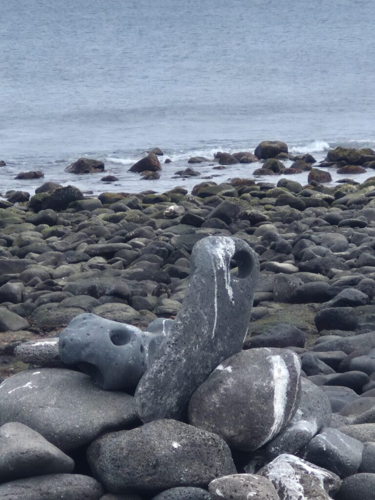
We continued walking until we reached a rocky beach on the island. The rocks had fascinating patterns and textures shaped by the volcanic past of the islands.
We wrapped up the walking tour around 12 noon, and then it was time for snorkelling.
This time, we snorkelled in deeper waters compared to our Sunday trip to Bartolomé. It was a very different experience. We saw thousands of fish swimming past us—an incredible sight. We also saw stingrays and reef sharks. Floating in the ocean, seeing all this marine life just below us, was amazing.
To reach the snorkelling spot, we were taken in a Zodiac (dinghy) to a point in the open ocean, where we simply went overboard. Since we were wearing life jackets, we didn’t have to swim much—we could just relax and float while watching the fish. In one of the videos we captured, you can actually see a shark lying on the ocean floor beneath the swarm of fish around us.
After snorkelling, we returned to our boat, Sea Finch, for lunch, which was a full meal of pasta and veggies, with a small banana cake for dessert.
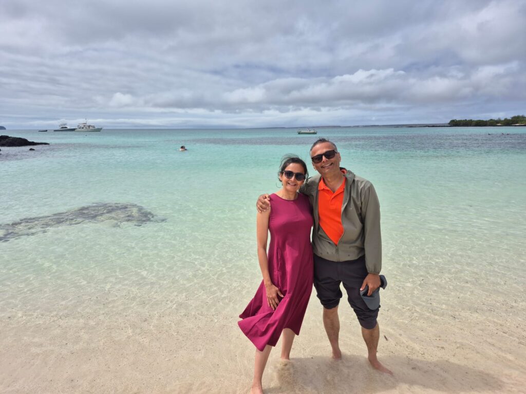
Our next stop was Las Bachas Beach, also on North Seymour Island. The sand here was extremely soft, almost like powder. We could see fish swimming in the water with our bare eyes, even from the shore.
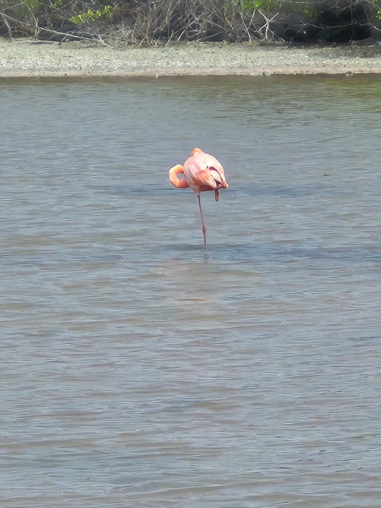
We also took a walk to a nearby lake, where we saw a pink flamingo. There are about 300 flamingos in the Galápagos Islands, and this one stood gracefully in the shallow water.
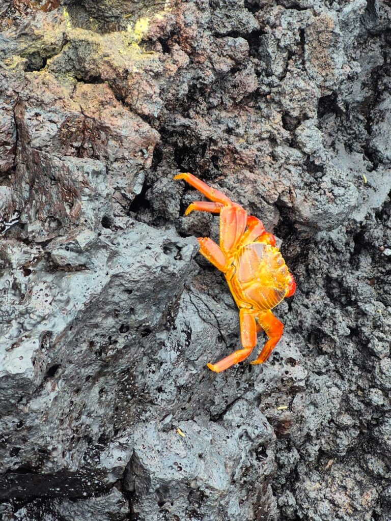
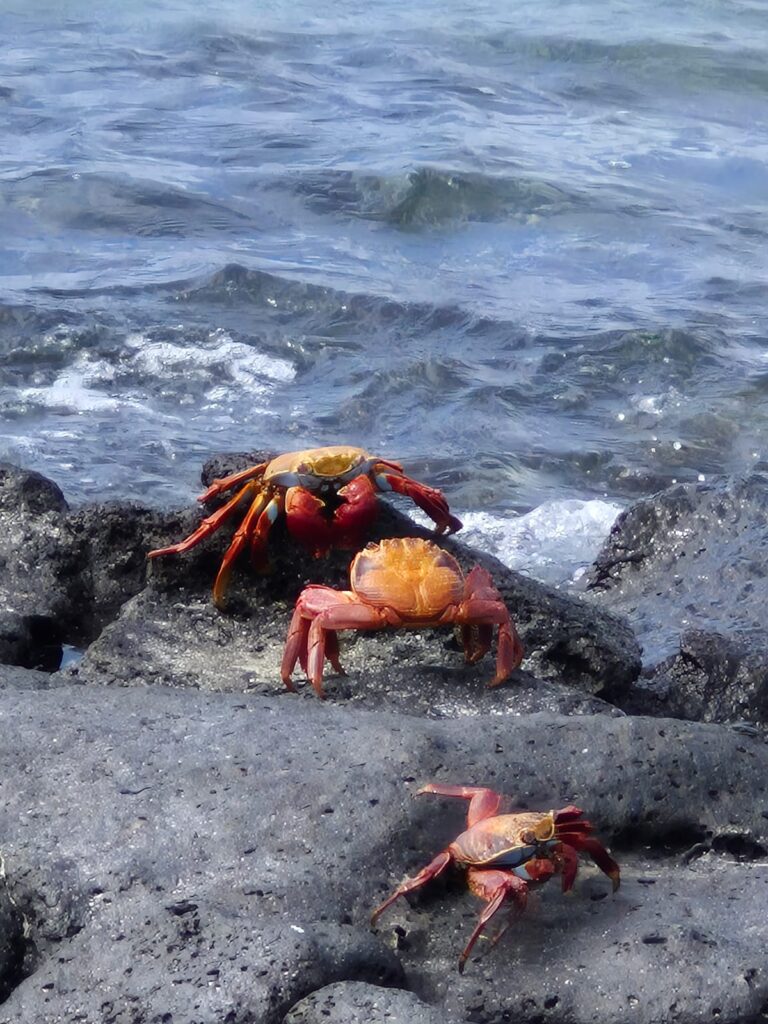
Along the rocks, we also saw bright orange crabs. One of them looked like it was eating something off the rock—using its claw almost like a fork. When these crabs are young, they’re dark in color for camouflage, and they turn bright orange when they grow up.
We finished visiting Las Bachas Beach and wrapped up our excursion for the day. We returned to our hotel around 4:45 PM.
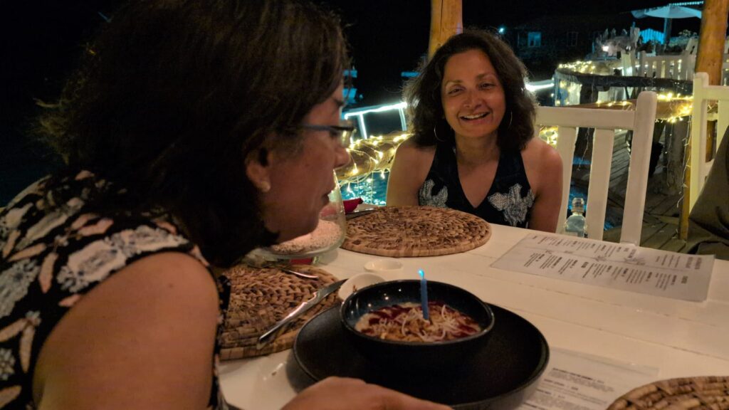
In the evening at 6 PM, we went out for a birthday dinner at a restaurant called Nahm. It was located across the water channel from Puerto Ayora. To get there, we took a water taxi from the ferry terminal to the other side—it took about 3 to 4 minutes and cost $1 per person.
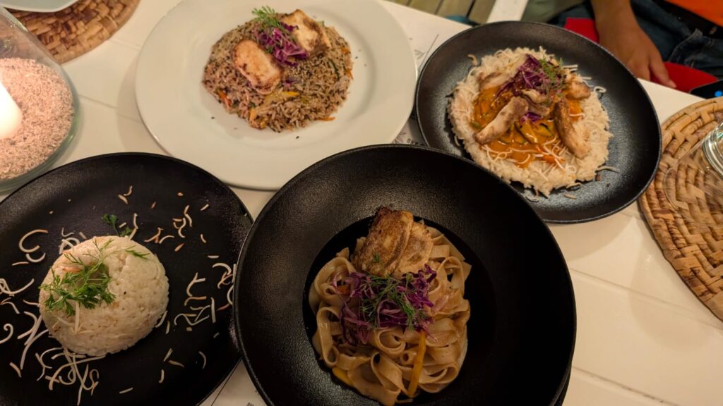
The chef at the restaurant was a young lady, and she cooked a very good vegetarian meal for us—pad Thai, fried rice, and red Thai curry. The restaurant was built right over the water, and we could actually see small Galápagos sharks swimming below us while we ate. It was a unique and fascinating sight to see these small sharks in water.
We finished dinner around 8 PM and returned to our hotel by about 8:20 PM. This day’s excursion to North Seymour Island was quite different from Bartolomé. We had a great time—and a birthday well celebrated.
Day 4: Tuesday, July 15 – Isabela Island and Snorkelling near Roca Unión
Today we had planned to visit Isabela Island, the largest island in the Galápagos archipelago. It’s shaped like a seahorse and located to the west of Santa Cruz. It takes about two hours to get there by boat.
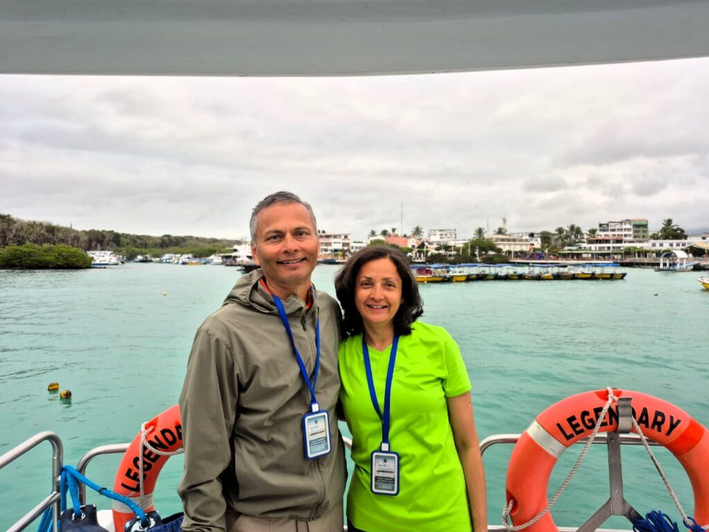
We reached the ferry terminal on Santa Cruz at 6:20 AM. Before boarding, there was a quarantine check, where our bags were scanned. The process took around 30 minutes. We then boarded our ferry, called Legendary—a small boat that carried about 40 people.
The ferry departed exactly at 7 AM, and we reached Isabela Island by 9 AM. The island is unique because the equator runs through its northern part—while most other Galápagos islands are south of the equator. The boat cruised at around 25 knots, or about 50 km/h, cutting smoothly through the waves.
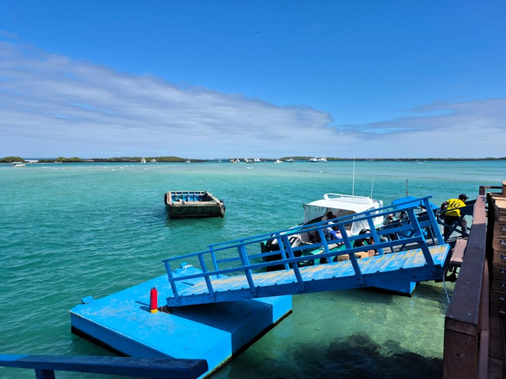
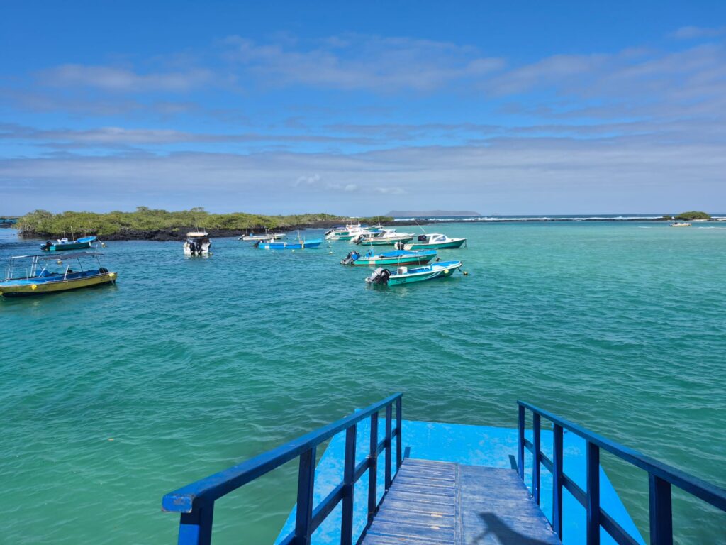
When we arrived at Isabela, we were picked up by a water taxi. The rate was standard—$1 per person. The taxi dropped us off at the ferry terminal in Port Villamil, on the southern side of the island.
We then checked into our accommodation for the night—Hotel Loja. It’s a hostel-type place, but the rooms were great and the vibe of the place was fantastic.
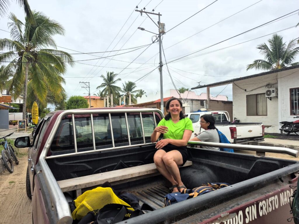
At 11:20 AM, a pickup taxi came to collect us from the hotel and take us back to the ferry terminal. In the Galápagos, taxis are usually pickup trucks, and the fare within the city is typically $1 per person. Luggage goes in the back—and sometimes, people ride in the back too.
From the terminal, we boarded a different boat called Diana II.
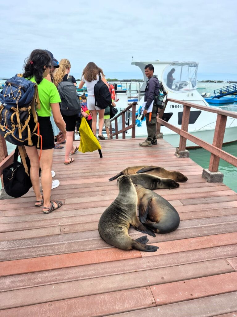
As we waited at the dock, we saw sea lions lounging casually around the docking area. They were completely at ease with the people around them—this is something you see everywhere in the Galápagos. The animals here don’t fear humans, and they simply go about their day.
We set out on the Diana II and, after about 45 minutes, we reached a spot known as Roca Unión (Union Rock).
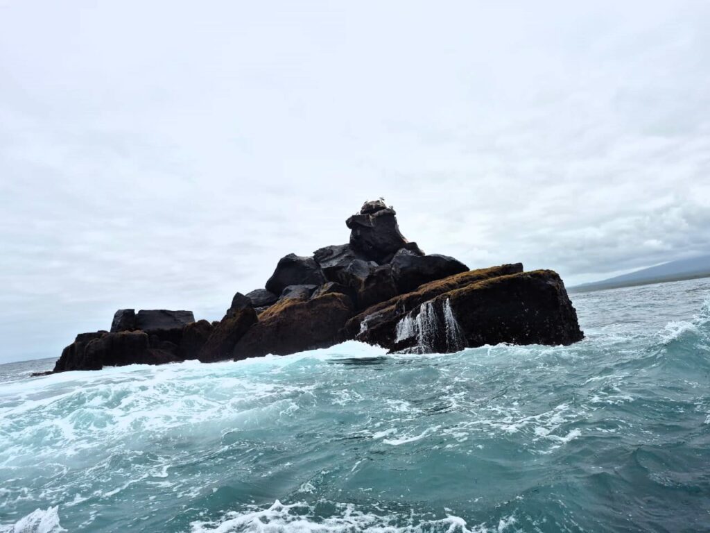
It’s a lone rock in the middle of the ocean. The waves crash against it in such a way that it creates a waterfall effect over the rock.
Roca Unión is a solitary rock formation located off the coast of Isabela Island in the Galápagos. It stands isolated in the ocean and is known for the dramatic way waves crash and spill over it, creating a natural waterfall effect. The rock is volcanic in origin and is a popular stop during boat tours for its visual appeal and proximity to snorkelling spots. It also serves as a resting place for seabirds and, occasionally, Galápagos penguins or sea lions.
After about 15 more minutes, we arrived at our snorkelling site. Jai, Anu, and I got ready with all our gear.
This turned out to be an incredible snorkelling session. We saw two massive sea turtles—each about the size of a human. We also spotted 6 to 7 sharks, a seahorse, and a wide variety of tropical fish. The snorkelling lasted about 45 to 50 minutes, giving us plenty of time to explore the underwater life.
Seeing the sharks was both exciting and a little scary. While sharks in the Galápagos are not known to attack humans, it was still quite a feeling to be so close to them.
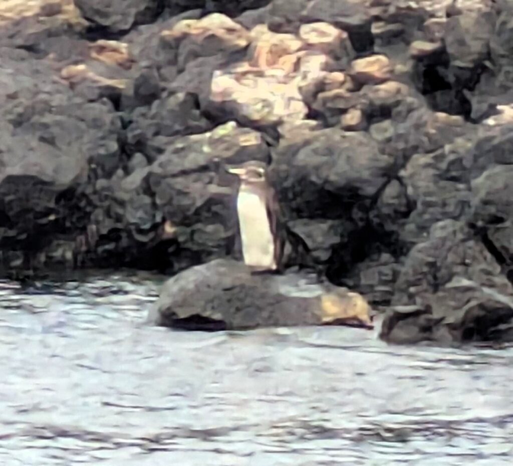
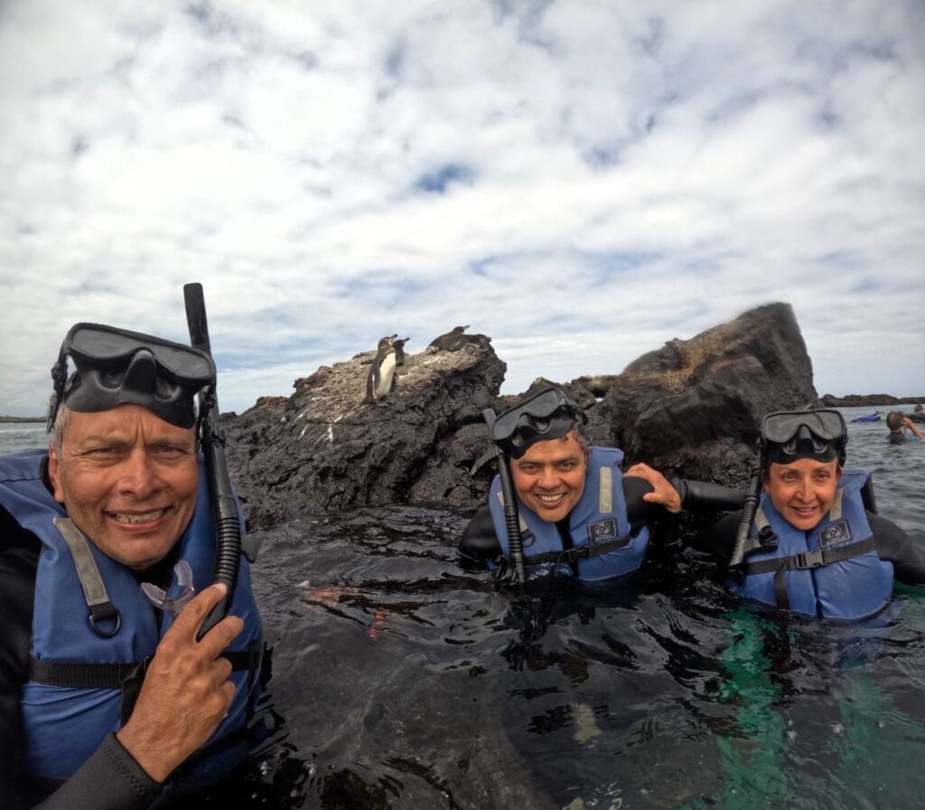
During the next snorkelling phase, we saw a group of Galápagos penguins resting on the rocks. These penguins are unique to the Galápagos—the only species of penguin that lives in tropical latitudes. Thanks to the cold Pacific currents, they are able to survive here.
Like many animals in the Galápagos, they are not afraid of humans, and they didn’t swim away even when we got close.
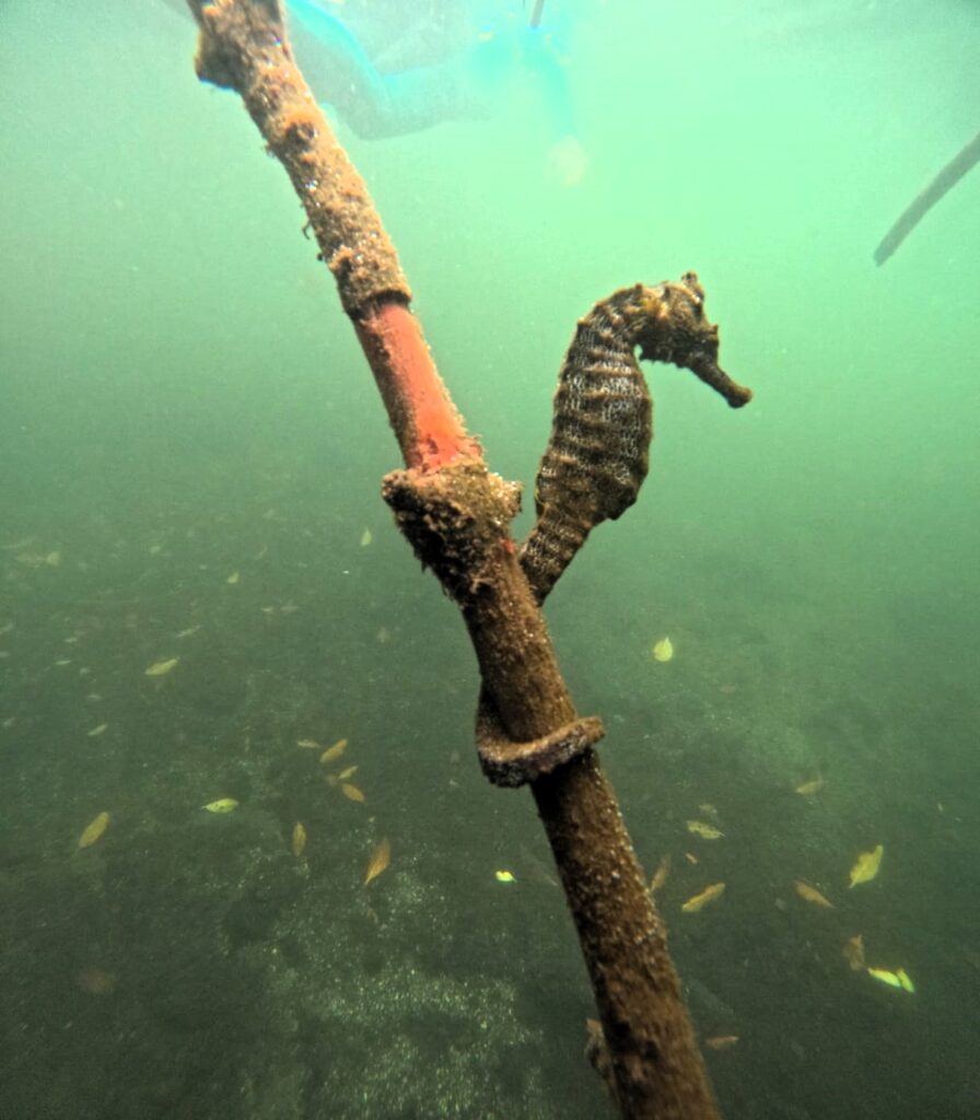
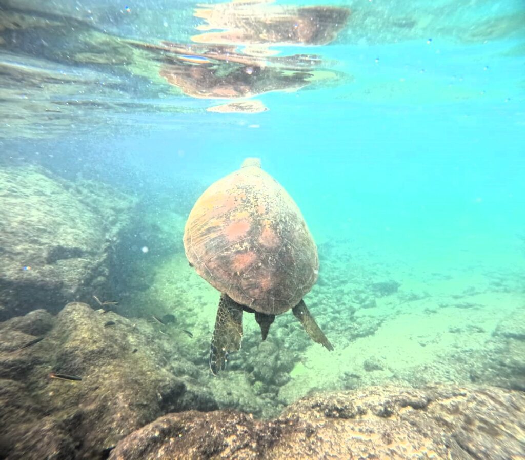
We also spotted another sea turtle, as well as a seahorse—small but fascinating to see in the wild.
Our final stop was a short hike through lava tunnels on Isabela Island. The lava tunnels (also called lava tubes) on Isabela Island were formed by flowing molten lava during volcanic eruptions. When the surface of a lava flow cooled and solidified while the molten lava beneath it continued to move, it eventually drained away—leaving behind hollow, cave-like tunnels.
Some of these tunnels stretch for hundreds of meters and can be explored on foot. Inside, you’ll find walls made of solidified black lava, often with rippled patterns, natural skylights, and even occasional stalactite-like formations of cooled rock. They offer a fascinating look into the volcanic origins of the islands and are completely natural geological structures.
The lava tunnels on Isabela are considered among the longest and most impressive in the Galápagos. A few are partially underground and accessible to visitors via guided tours or short hikes.
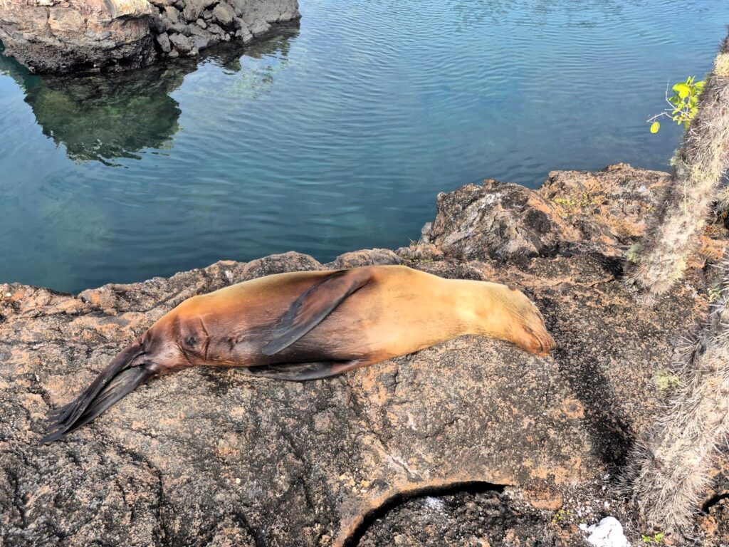
At one point, we saw a sea lion sleeping peacefully, totally unbothered by the tourists walking nearby. That sense of calm and coexistence is one of the most beautiful things about this place.
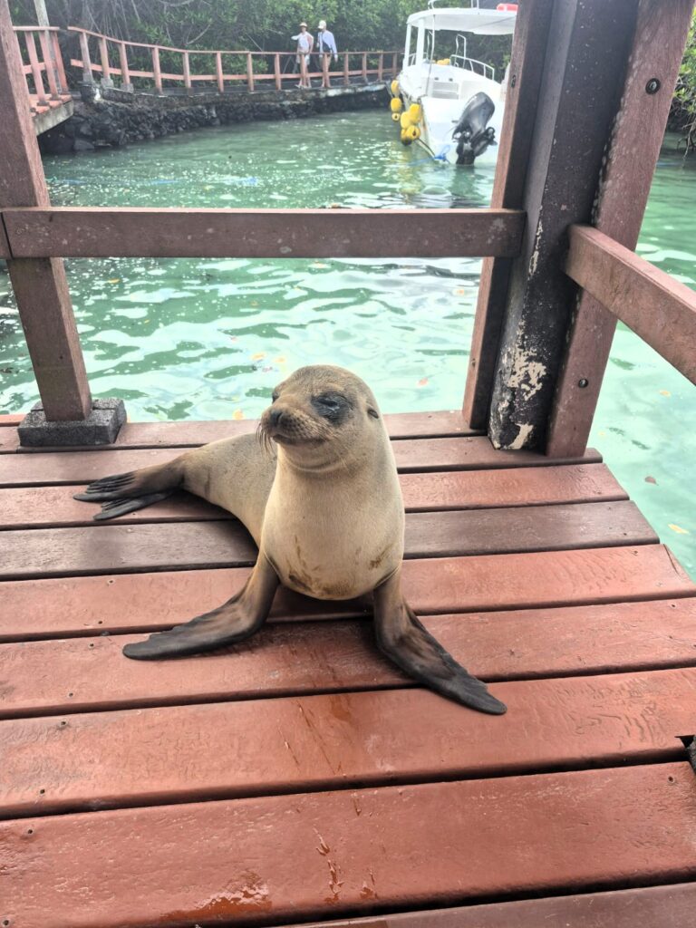
We returned to Port Villamil around 6 PM. Just as we were wrapping up, we saw another sea lion sitting calmly on the dock, once again showing no concern for the people nearby.
For dinner, we went to a sandwich place, where we had a Caprese sandwich, a vegan sandwich, and hot chocolate. By around 7:15 PM, we were back at Hotel Loja, ready to rest up for the next day’s adventure.
Day 5: Wednesday, July 16 – Hiking Sierra Negra and Volcán Chico
Today was a land-based adventure—no snorkelling, just hiking. We had planned a full-day walking tour to Sierra Negra, the active volcano on Isabela Island.
Sierra Negra is one of the most active volcanoes in the Galápagos Islands and dominates the southeastern region of Isabela Island. It rises to an elevation of about 1,124 meters (3,688 feet) above sea level and is known for having one of the largest volcanic calderas in the world, measuring roughly 7 by 10 kilometres in diameter.
Despite its relatively gentle slopes, Sierra Negra is a powerful geological force. It last erupted in June 2018, and previous eruptions have reshaped large portions of the island. The caldera offers dramatic views of hardened lava fields, volcanic fissures, and shifting cloud cover. Hikes around Sierra Negra give visitors a firsthand look at the volcanic origins of the Galápagos archipelago.
We were picked up at 7:15 AM and driven to the start of the Sierra Negra walking path. The total hike was about 6 kilometres one way. Our guide for the day was Veronica Castro.
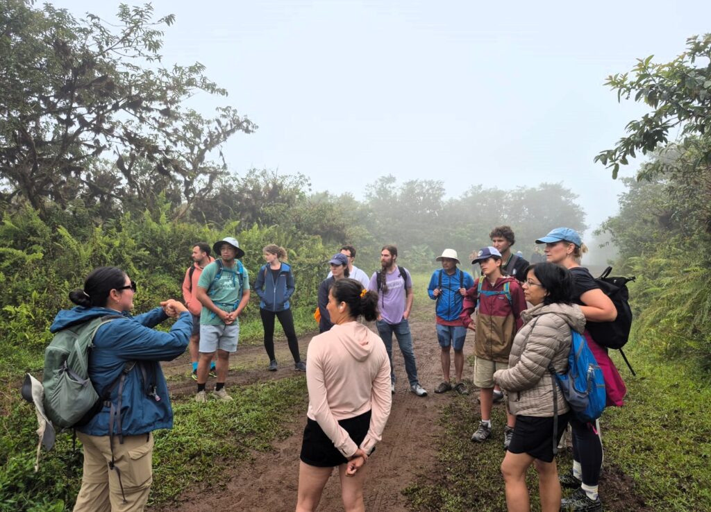
The weather was cloudy and wet. The path was muddy and sticky in places. The first 2 kilometres were an uphill climb, followed by a relatively flat 4-kilometre stretch.
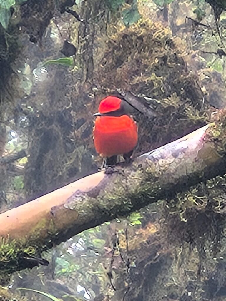
Along the way, we saw a large land turtle and a red flycatcher—a striking little bird often seen in the Galápagos highlands.
When we reached the 6-kilometre mark, there was a rest area, but the caldera of Sierra Negra was not visible due to the clouds. So, we decided to continue on to Volcán Chico, a nearby volcanic area.
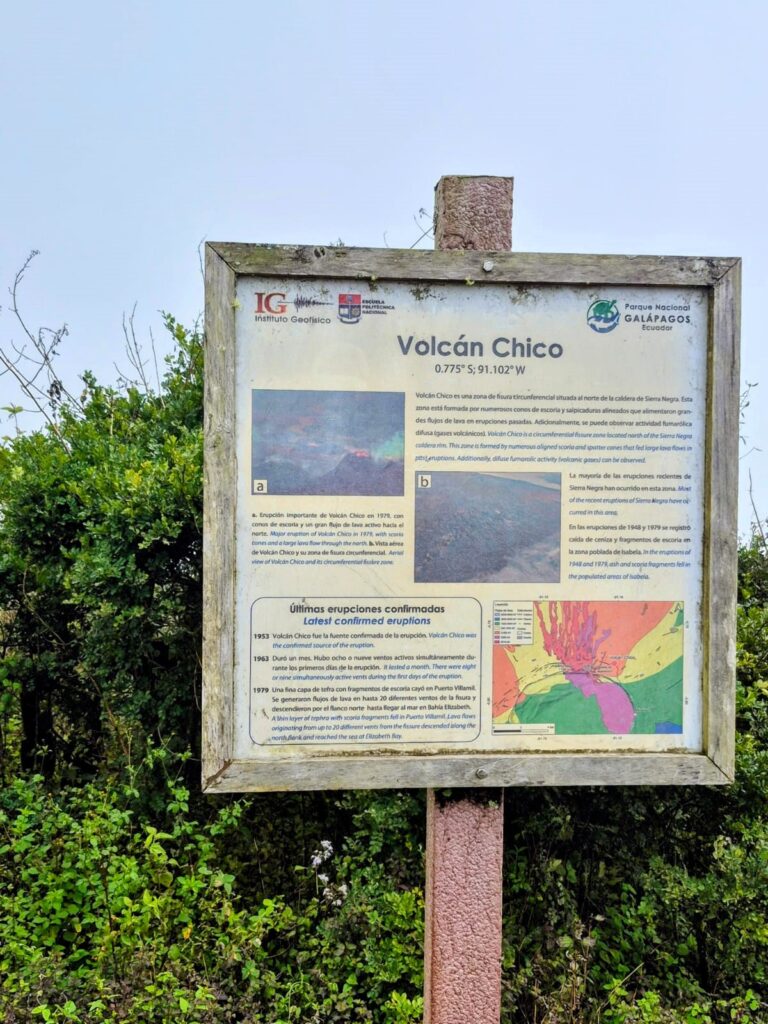
Volcán Chico is a volcanic fissure located northeast of Sierra Negra on Isabela Island, sitting at an elevation of around 860 meters above sea level. It is made up of parasitic cones—small volcanic cones that formed from eruptions along the flanks of the main volcano—and is primarily composed of lava flows and volcanic slag.
The most recent eruption occurred in November 1979 and lasted about two weeks. A more powerful eruption in April 1963 continued for a month, sending lava flows down toward Elizabeth Bay, wiping out large areas of vegetation.
Although it is less massive than Sierra Negra, Volcán Chico offers a dramatic look at the volcanic forces that shaped the Galápagos. Its rugged black lava landscape, absence of vegetation, and occasional geothermal vents give it a surreal, moon-like appearance. It’s a popular extension of the Sierra Negra hike, offering panoramic views and an up-close encounter with the archipelago’s volcanic origins.
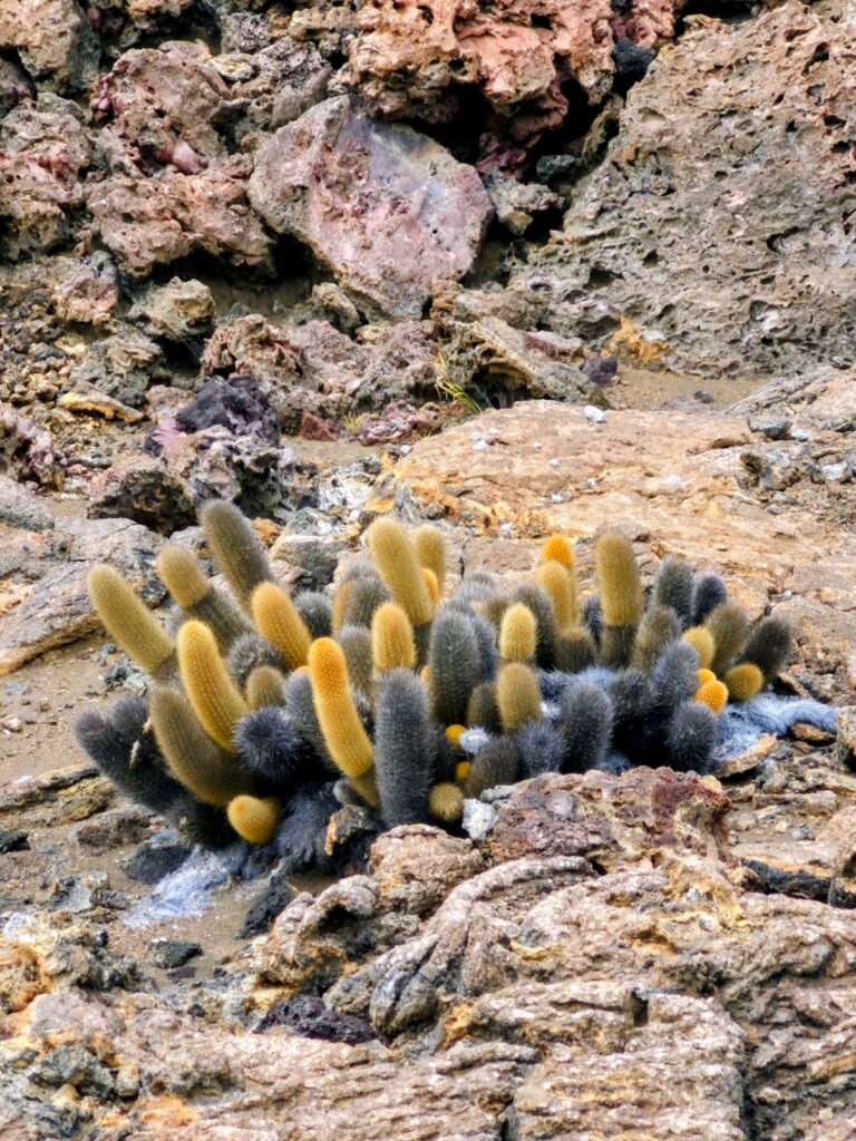
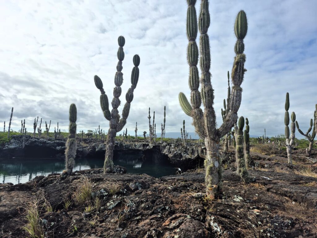
We descended about 500 feet from the signboard to reach Volcán Chico. The landscape here was completely barren—black lava rock stretched in all directions, with no vegetation, animals, or birds in sight. It really felt like walking on another planet.
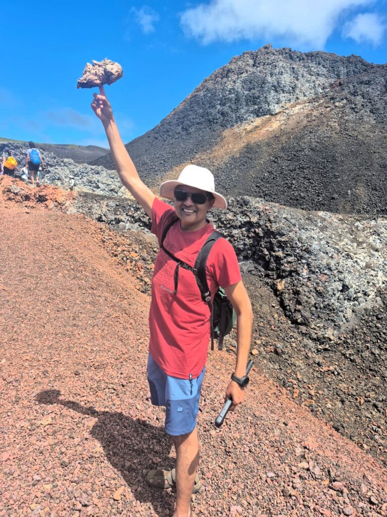
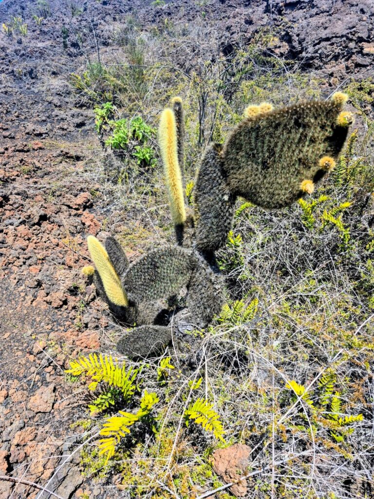
The only plant we saw here was the lava cactus, which survives in these conditions because it requires very little water.
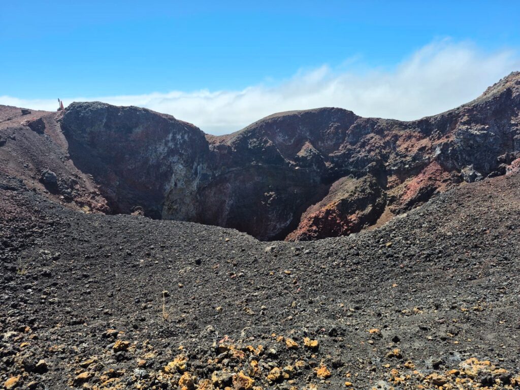
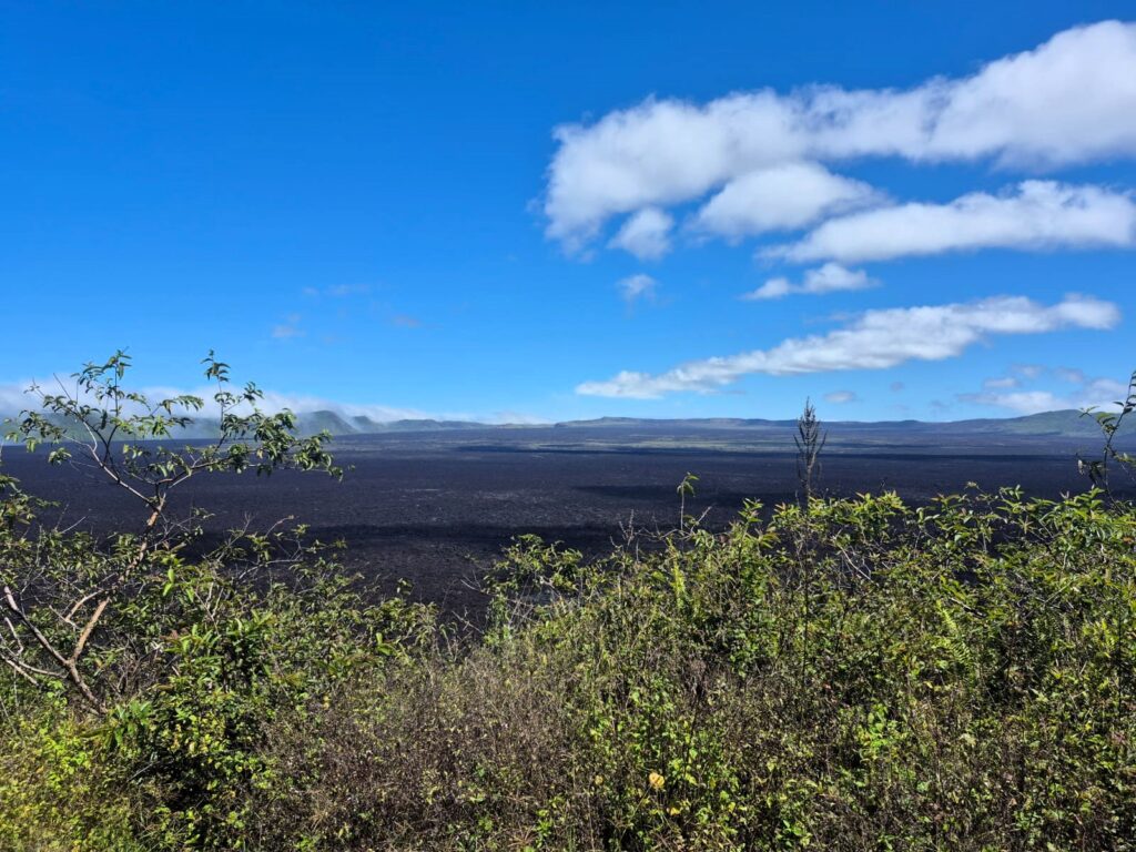
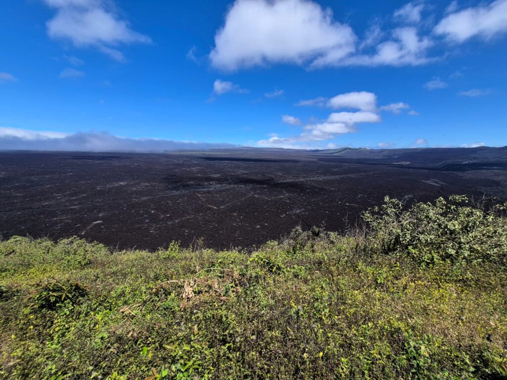
We spent some time walking across this surreal landscape. After visiting Volcán Chico, we returned to the rest area. By then, the clouds had cleared, and we finally got a good view of the Sierra Negra caldera.
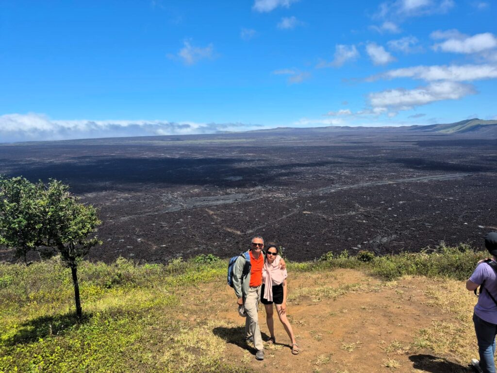
The lava at the base looked soft and sticky like mud, though we knew it was still extremely hot. The name “Sierra Negra” means Black Mountain, and standing at the rim of the caldera, it was easy to see why.
This is one of the most important geological sites on Isabela Island. After lava eruptions, it takes thousands of years before the land becomes habitable again and vegetation can begin to grow.
We then made our way back to the starting point. In total, we climbed about 1,200 feet and walked 16 kilometres. It was quite a walk, and by the end, we were all tired—but in a satisfying way.
We returned to Hotel Loja in Puerto Villamil around 2 PM, picked up our bags, and took a taxi to the ferry terminal for our ride back to Santa Cruz Island.
The 2-hour ferry ride was not enjoyable—it was bumpy, noisy, and rough. It felt like it went on forever, but it was necessary to get back from Isabella island to Santa Cruz. So we endured the 2 hour ordeal on the ferry.
We reached Santa Cruz in the evening and had dinner at a shawarma place around 7 PM. After that, we retired for the night.
Day 6: Thursday, July 17 – El Chato Ranch and Departure
This was our final day in the Galápagos. Our flight was scheduled for 2 PM from Baltra Island, so we decided to fit in one last outing before heading to the airport.
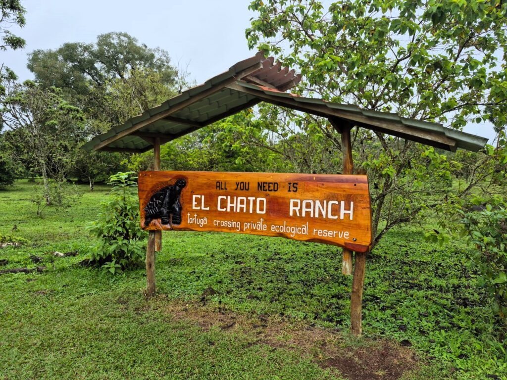
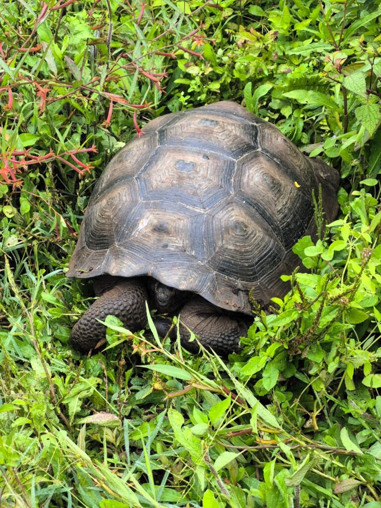
On the way to the airport, we visited El Chato Ranch, a private reserve located about halfway between Puerto Aybora and Baltra. The ranch is famous for its population of giant Galápagos tortoises, and it was a great place to wrap up the trip.
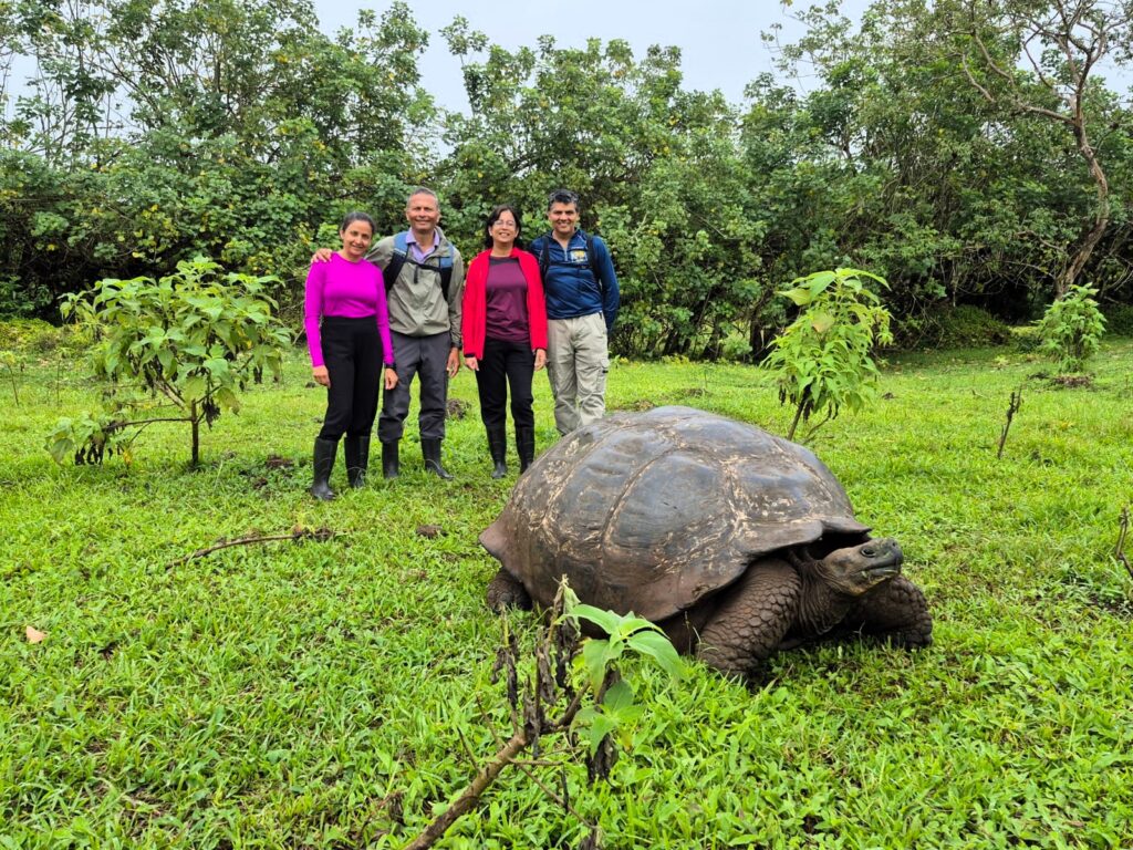
These tortoises are truly massive—each one weighs around 200 kilograms and can live for up to 175 years. The large size and long lifespan of these creatures are unique to the Galápagos, and seeing so many of them up close was a special experience.
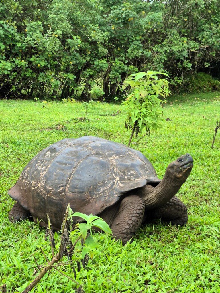
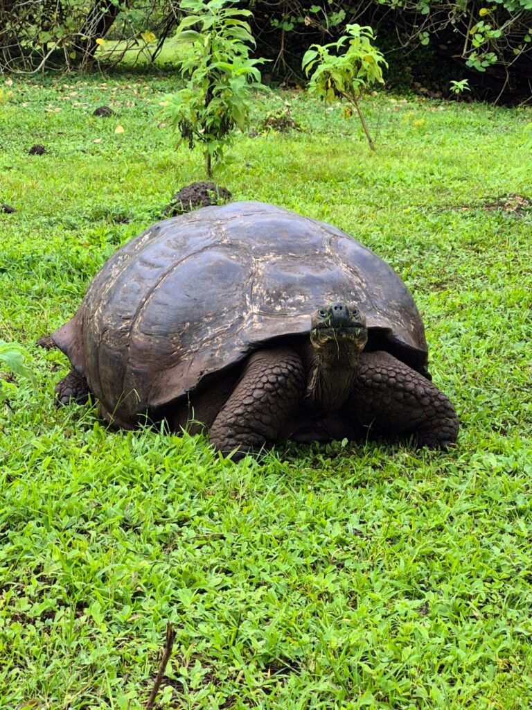
There are about 50 tortoises living on the ranch, roaming freely through the grasslands and shallow ponds.
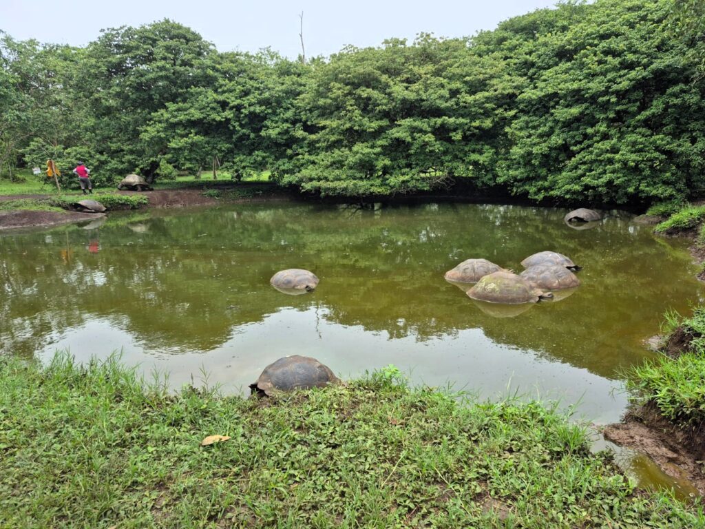
At one point, we saw a group of turtles gathered in a pond, slowly wading and lounging in the water. It was peaceful, quiet, and a little surreal to watch animals that old just going about their lives, entirely unbothered by our presence.
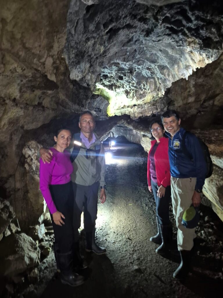

The ranch also has lava tunnels, and we walked through three of them. These natural tunnels were formed by ancient lava flows beneath the surface. The third tunnel was the longest, and walking through it felt like moving through a volcanic cave—dark, cool, and textured with solidified lava on all sides.
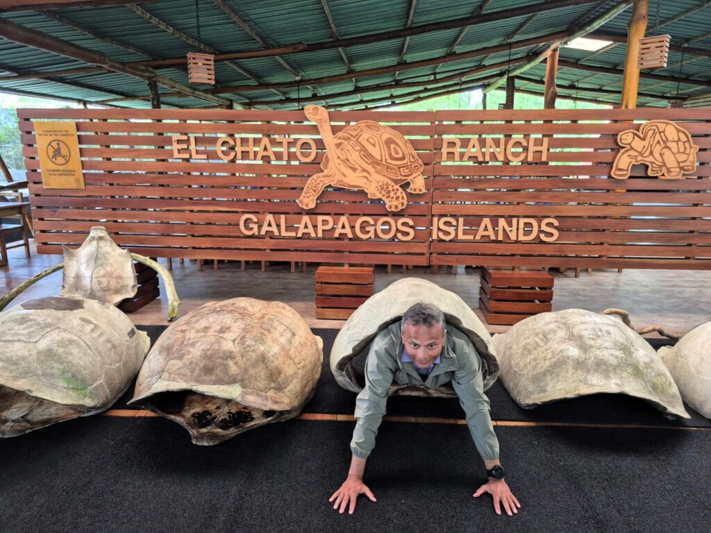
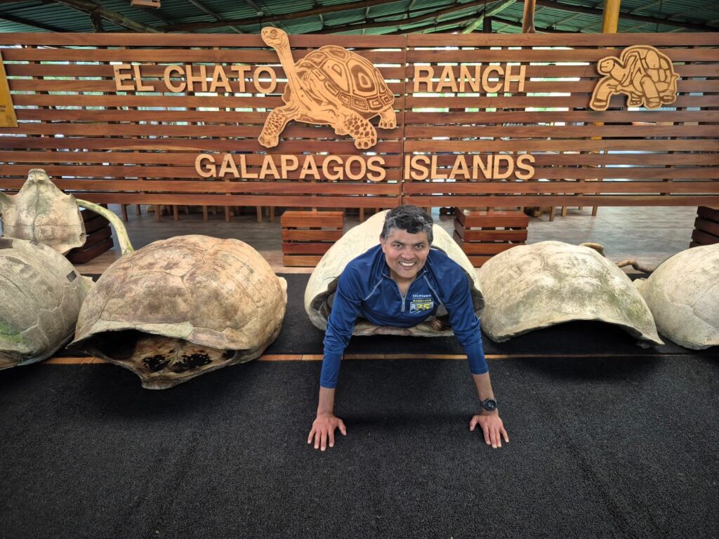
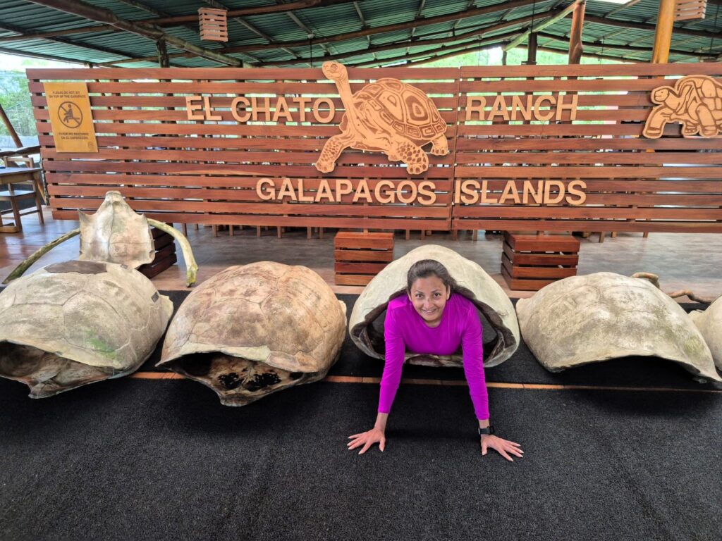
And yes, at one point, we even wore a giant tortoise shell “vest”—just for fun. Couldn’t resist.
After our visit to El Chato, we continued on to the airport and arrived at 11:30 AM. We checked in to the airport lounge and waited for our 2 PM flight out of Baltra.
And just like that, our incredible six-day journey through the Galápagos came to an end.


